11.756 resultados
1911168p. + Large color folding map and numerous advertisements, many illustrated. Numerous full page photographs of buildings. Slight soiling on first leaf. Small 8vo. Original green decorated printed wraps, spine and rear cover have old tape repairs. Covers worn. PA PAMPH 20_13 BX5
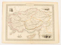
1851ref. 174952London & New York.: Tallis J & F. 1851. Lithographed map 24.5 x 32.3 cm borders picked out in original hand colour four inset vignette illustrations decorative Greek key border edge worn and discoloured paper toned but the attractive map in good condition. Attractive decorative map prepared for "Tallis's illustrated atlas and modern history of the world." one of the last great illustrated series of world maps. The fine vignettes are of Mt. Olympus Rhodes a ketch in the Mediterranean Sea and two costumed Ottomans. . Tallis, J & F. unknown
1735ref. LBW0613f[Amsterdam, 1735]. 176 x 261 mm.
1935ref. 6957ca. 1935. Maßstab: 1:300.000. farbig. 89x78 cm. Landkarte.
1935ref. 6958ca. 1935. Maßstab: 1:300000 farbig. 69x86 cm. Landkarte.
1815ref. LBW-6676[1815]. 572 x 823 mm.
1958ref. LBW-8144[Antibes], Édition H. Boyer, 1958. 372 x 537 mm, montée sur toile.
1833ref. LBW03954Paris Hocquart 1833 517 x 727 mm.
1938ref. 12788Payot 1938 238 pages in8. 1938. broché. 238 pages. L'ouvrage 'La Perse' de Raymond Furon publié par Payot en 1938 est une étude historique et géographique couvrant la préhistoire les empires mède achéménide et sassanide l'Islam la période mongole les Séfévides les Kadjars et la Perse contemporaine jusqu'à la guerre de 1914. Il s'agit d'une synthèse savante destinée à un public cultivé ou universitaire
1960ref. 26970Nantes 1960 une photographie originale en noir, format : 8 x 12 cm, nantes 1960 RAYMOND COLLET - PHOTOGRAPHE A THARON, ÉDITEUR DE CARTES POSTALES A NANTES, (FONDS COLLET),
ref. 0976373343-11-1Toucan Maps Inc. 4th. Very Good. It's a well-cared-for item that has seen limited use. The item may show minor signs of wear. All the text is legible with all pages included. It may have slight markings and/or highlighting. Toucan Maps Inc. unknown
1902Soiling by fingermarks to a number of pages. No ink or pencil marks or inscriptions. No creasing to covers. Soiled boards, sunned spine and part tearing to spine strip. Attached fold-out map in two pieces. Reading copy only. 202pp. A comprehensive study of Manchester at the turn of the 19th century, including the university, water supply, geology, history, politics, medicine, trade, railways, libraries, arts, its port and (of course) its weather. Very well illustrated with photographs.
19388vo, 160 pages, black and white illustrations. Inscription of previous owner on inside front cover. Covers are dusty. (Kingsway Social Geographies Book 4) eng
ref. 225967Amsterdam, Nicolas Vischer, s.d. (v. 1710) carte de 57 x 91 cm, Importants renforts au dos de la carte. Déchirures.
1981ref. RO20017266Grands vents. 1981. In-4. Broché. Bon état, Couv. convenable, Dos satisfaisant, Intérieur frais. 142p, tres illustré de photos noir et blanc, de reporduction d'affiches couleurs hors texte de peinture de Coppier, de cartes postales couleurs et noir et blanc et aquarelles... . . . Classification Dewey : 741.68-Illustrations des cartes postales
ref. 26582Paris, Bornemann, 1955. 13 x 18, 39 pp., broché, bon état.
ref. 2696essai de gastronomie moderne in 12 carré pleine toile verte à la bradel pièce de titre cuir vert,faux-titre,titre,383 pages E.Flammarion 1927 premier plat de couverture conservé avec un petit manque
ref. 26580Paris, Bornemann, 1967. 13 x 18, 104 pp., broché, très bon état.
1908ref. AUB-4635Paris, librairie universelle s.d.(vers 1908). 6 beaux volumes reliés, reliures demi cuir ornées d'éd., forts in-4, plus de 3500 pages.
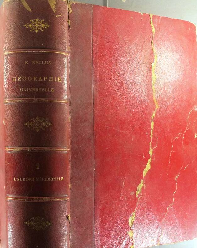
ref. 8069Nouvelle géographie universelle La Terre et les hommes I : l’Europe méridionale Grèce,Turquie, Roumanie, Serbie, Italie, Espagne,Portugal in 4 demi-cuir rouge à nerfs et à coins,titre,tomaison dorés, double filet dorés sur les plats,faux-titre,titre,1012 pages,non rogné, tête dorée,73 gravures hors-texte,4 cartes en couleurs tirées à part,174 cartes dans le texte Hachette & Cie 1876 rousseurs éparses plus ou moins fortes,habituelles, mais plus fortes en début et fin de volume
ref. 8070Nouvelle géographie universelle Terre et les hommes III : Suisse Austro-Hongrie, Allemagne) l in 4 demi-chagrin vert à nerfs,titre,tomaison dorés, plats percaline verte filets à froid en encadrement, faux-titre, titre, 982 pages,1 pages d’errata,78 gravures hors-texte,10 cartes en couleurs tirées à part,210 cartes dans le texte Hachette & Cie 1878 rousseurs éparses habituelles plus fortes en début et fin de volume
1876ref. 130810Couverture rigide. Reliure demi-chagrin rouge. 1011 pages. 19 x 28 cm. Couverture défraîchie. Rousseurs. Pli au 1er plat.
1883ref. 130811Couverture rigide. Reliure demi-chagrin rouge. 965 pages. 19 x 28 cm. Couverture légèrement défraîchie. Rousseurs.
1881ref. 130812Couverture souple. Broché. 919 pages. 19 x 28 cm. Rousseurs. Dos réparé.
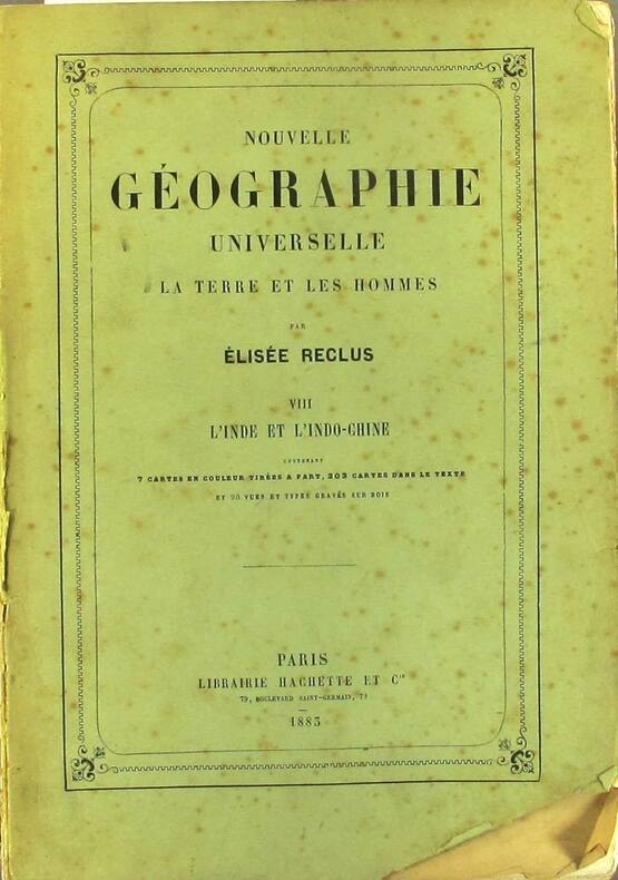
1883ref. 130814Couverture souple. Broché. 982 pages. 19 x 28 cm. Rousseurs. Dos réparé.