12.632 resultados
1952Cartonnage de l'éditeur. 380 pages.
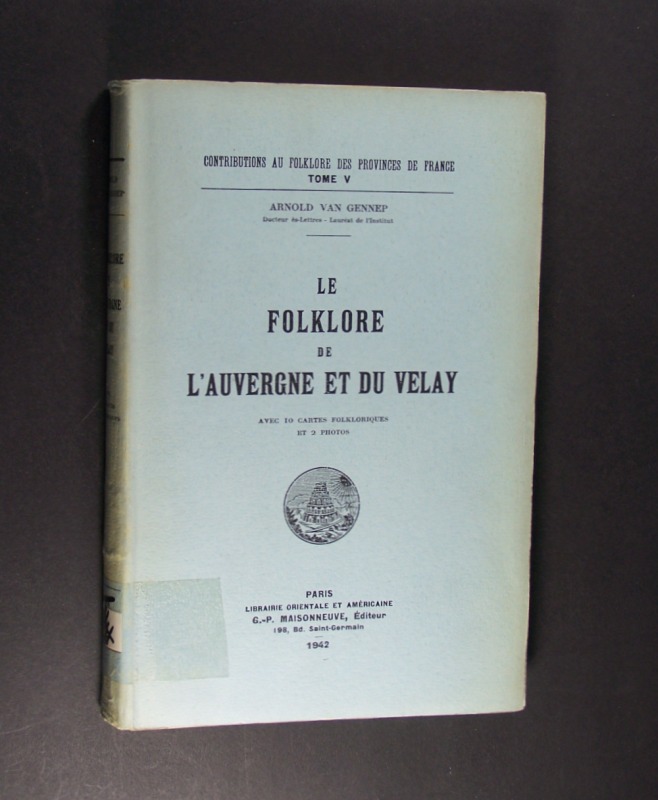
1942ref. 3080539Paris: Maisonneuve 1942. (8), 375 Seiten. Avec 10 cartes folkloriques et 2 photos. Gr. 8° (22,5-25 cm). Orig.-Broschur. [Softcover / Paperback].
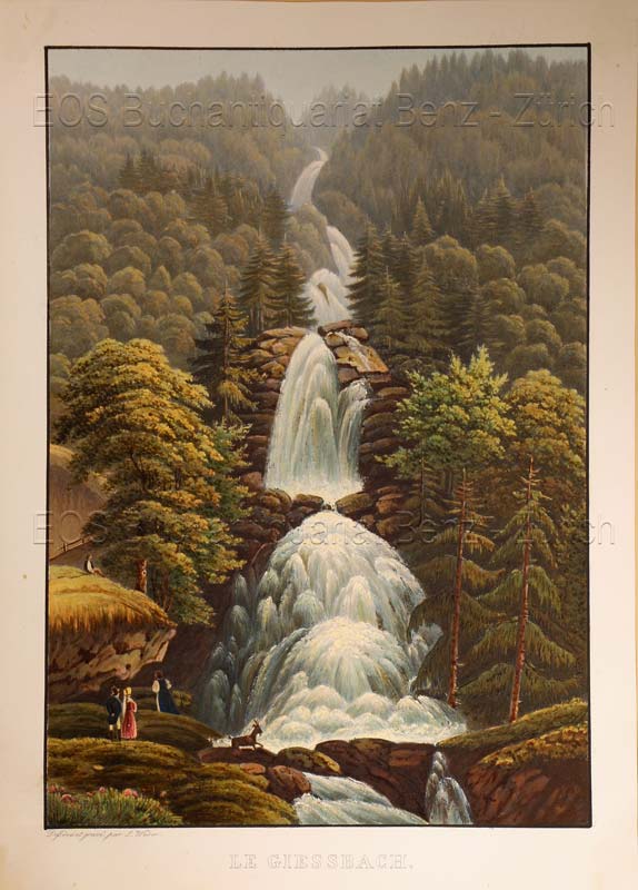
1935ref. 619DGO.O., um 1935. Altkolorierte Aquatinta von Lukas Weber. Bildgrösse: 24,8 x 17,3 cm. Blattgrösse: 28,3 x 20,2 cm. + Wichtig: Für unsere Kunden in der EU erfolgt der Versand alle 14 Tage verzollt ab Deutschland / Postbank-Konto in Deutschland vorhanden +, Abb.
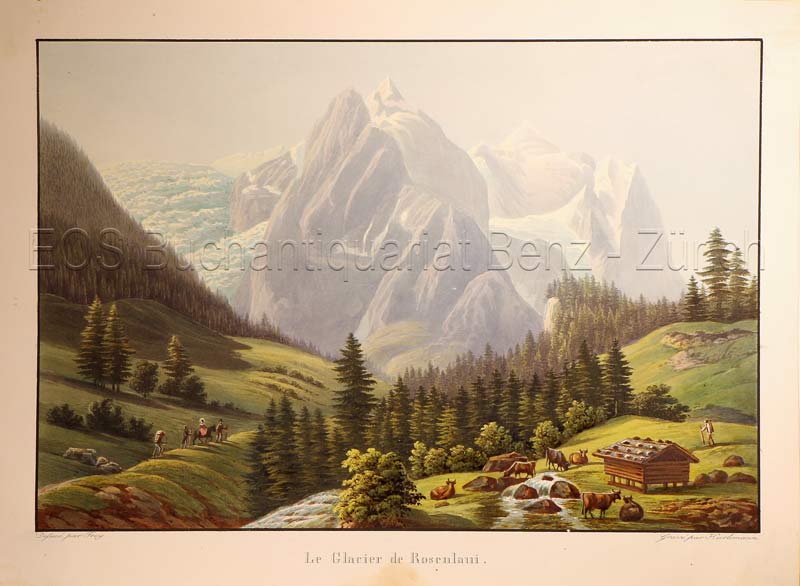
1835ref. 621DGO.O., um 1835. Altkolorierte Aquatinta von Johann Hürlimann (1793-1850). Bildgrösse: 17,1 x 25,2 cm. Blattgrösse: 20,5 x 28 cm. + Wichtig: Für unsere Kunden in der EU erfolgt der Versand alle 14 Tage verzollt ab Deutschland / Postbank-Konto in Deutschland vorhanden +, Abb.
1719Mappa del mondo a doppio emisfero che presenta l'isola della California e un passaggio a nord-ovest. Date le picocle dimensioni, dono presenti solo pochi dettagli interni e solo le principali nazioni nominate. Dal punto di vista dell'innovazione cartografica Ter. de Jesso appare al largo della costa orientale dell'Asia, l'Australia è incompleta e ancora attaccata alla Nuova Guinea, appare solo la costa occidentale della Nuova Zelanda, e c'è ancora una costa parziale per Terres Australes. Il cartiglio del titolo decorativo e il testo in francese circondano la mappa.Opera tratta dal Le Nouveau et Curieux Atlas Geographique et Historique... di Jacques Chiquet.Acquaforte su rame, con una bella colorazione a mano, in buone condizioni. This delicately engraved double hemisphere world map features the island of California and a Northwest Passage. There is little interior detail with only major nations named. Ter. de Jesso appears off the east coast of Asia, Australia is incomplete and still attached to New Guinea, only the west coast of New Zealand appears, and there is still a partial coastline for Terres Australes. Decorative title cartouche and French text surrounds the map.From Le Nouveau et Curieux Atlas Geographique et Historique... by Jacques Chiquet.Copperplate, with fine hand colouring, good condition.
1721Le Gouvernement Général d'Orléans [ Carte ] qui comprend l'Orléanois, le Blaisois, la Touraine, l'Anjou, le Maine, le Perche, la Beauce, le Vendosmois, le Gastinois, le Nivernois, le Berry, l'Angoumois, l'Aunis & le Haut et le Bas Poitou, dedié à S.A.R. Monseigneur le Duc d'Orléans Regent du Royaume, carte au format 778 x 545 mm., frontière des provinces rehaussées en couleurs, Chez le Sieur Jaillot, joignant les Grands Augustins, Paris, 1721 Etat satisfaisant (anc. mouill. importante mais assez discrète). Rare. Prix en l'état. Français
in-16, 192 pages, broche, couverture illustree. Tres bel exemplaire. [MB]
1952Feuille repli?e.
1949Feuille repli?e.
1678Carta topografica a stampa, cm. 49,5 x 26: nel 1677, per ordine di papa Innocenzo XI, Meyer e l’abate Innocenzo Boschi perlustrarono le paludi pontine. Boschi era stato incaricato dalla Camera apostolica, Meyer voleva visionare le paludi in vista della bonifica che si era offerto di fare. In 1677, according to an Innocentius XI order, Meyer and the abbot Innocenzo Boschi were appointed to explore the Pontine marshes, in view of a possible reclamation that Meyer offered.
196620 planches et 20 feuilles de descriptions et notices. Couverture d?fraichie.
1919De Vecchi 191976. In-8 broché de 142 pages.Bon état
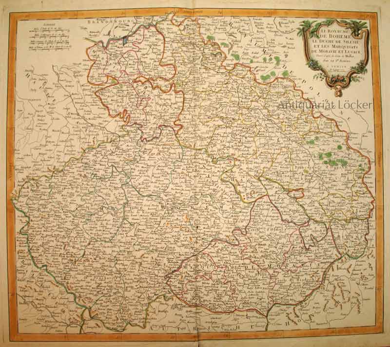
1777ref. KART0153Venise, P. Santini chez M. Remondini 1777. Kartengröße: 55x48,5 cm; Blattgröße:76x53,2 cm; rechts oben dekorative Titelkartusche, li. oben Maßstabsskala, kolorierte Randleiste, Mittelalz leicht gebräunt und unten über die Randleiste eingerissen, rundum Randrisse im weißen Rand. Die Karte zeigt das Gebiet Böhmens, Tschechiens, Schlesiens etc.
1692(Paris/Amsterdam), Hubert Jaillot, 1692. 58,5x88,5 cm. Kobberstukket Danmarkskort med Nordtyskland, Skåne, Halland og Blekinge i fuld håndkolorering med 2 store barok-kartoucher (titelkartouche & målestokskartouche). Lille revnedannelse i foldningen øverst og nederst. nederste bladkant repareret uden tab. På kraftigt papir sammensat af to pladetryk.
1725Pianta delle sette chiese giubilari della capitale, tratta dal "Atlas Novus" del Seutter. La tavola delinea l’itinerario del pellegrinaggio cristiano alle Sette Chiese: le quattro basiliche maggiori, S. Giovanni in Laterano, S. Pietro, S. Maria Maggiore e S. Paolo, alle quali S. Filippo Neri aggiunse altre tre basiliche come meta del pellegrinaggio - S. Lorenzo fuori le Mura, S. Croce in Gerusalemme e S. Sebastiano. Orientata con l’oriente in alto, come la maggior parte delle piante di città prodotte nel XVI secolo, manca di una visione prospettica corretta, sia sotto il profilo delle proporzioni che delle distanze. Inoltre, lo spazio urbano è occupato, in maniera del tutto irreale, quasi esclusivamente da luoghi di culto. Le sette chiese principali sono rappresentate di dimensioni notevolmente maggiori rispetto agli altri edifici, e mostrano tutte le facciate rivolte verso l’osservatore. "Derivazione assai fedele della pianta Giubilare del Lauro aggiornata e ristampata dal De Rossi nel 1660 in cui sono state affiancate le didascalie in lingua tedesca a quelle in italiano. Il colonnato di San Pietro, all'epoca del prototipo ancora in corsa di realizzazione, appare più correttamente raffigurato senza il terzo braccio a chiusura della piazza. Assai vivace la coloritura d'epoca che rappresenta la maggiore caratteristica di questa, come di molte altre opere di editori nordici, che per il resto copiavano sempre le loro immagini da quelle di altri autori, essendo il fine commerciale il loro unico interesse" (cfr. Marigliani p. 618). Matthäus Seutter (1678 - 1757) fu uno dei più importanti e prolifici editori tedeschi di mappe del XVIII secolo. Attivo, come incisore sotto la tutela dell'importante J. B. Homann. All'inizio del 1700 Seutter lasciò Homann per tornare ad Augusta, dove lavorò per l'importante editore d'arte Jeremia Wolff (1663 - 1724), per il quale incise mappe e altre stampe. Intorno al 1717 fondò la propria casa editrice cartografica indipendente ad Augusta. La maggior parte delle mappe di Seutter sono pesantemente basate, se non addirittura copie, di lavori precedenti fatti dalle calcografie Homann e De L'Isle. Ciononostante, dal 1731/32 Seutter era uno degli editori più prolifici del suo tempo e fu onorato dall'imperatore tedesco Carlo VI che gli diede il titolo di Geografo Imperiale, dopo il quale la maggior parte delle mappe successive includeva la denominazione Avec Privilege. Seutter continuò a pubblicare fino alla sua morte, all'apice della sua carriera, nel 1757. Acquaforte, finemente colorata a mano, in ottimo stato di conservazione. Bibliografia Arrigoni Bertarelli (1930): n. 761; Marigliani (2007): p. 618, n. 579. Map of the seven jubilee churches of Rome, taken from Seutter's "Atlas Novus". The map outlines the itinerary of the Christian pilgrimage to the Seven Churches: the four major basilicas, St. John Lateran, St. Peter, St. Mary Major and St. Paul, to which St. Philip Neri added three more basilicas as pilgrimage destinations - St. Lawrence Outside the Walls, St. Croce in Jerusalem and St. Sebastian. Oriented with the east at the top, like most city maps produced in the 16th century, it lacks a correct perspective view, both in terms of proportions and distances. Moreover, the urban space is occupied, in a completely unreal way, almost exclusively by the churches. The seven main churches are represented considerably larger and show all the facades facing the observer. Very faithful derivation of the Jubilee map by Giacomo Lauro updated and reprinted by De Rossi in 1660 in which the captions in German have been placed side by side with those in Italian. The colonnade of St. Peter's, at the time of the prototype still under construction, appears more correctly depicted without the third arm closing the square. The coloring is very lively and represents the main characteristic of this work, as of many other works by Nordic publishers, who always copied their images from those of other authors, as the commercial purpose being their only interest (cf. Marigliani p. 618). Matthäus Seutter (1678 - 1757) was one of the most important and prolific German map publishers of the 18th century. Seutter was born the son of a goldsmith but apprenticed as a brewer. Apparently uninspired by the beer business, Seutter abandoned his apprenticeship and moved to Nuremberg where he apprenticed as an engraver under the tutelage of the prominent J. B. Homann. Sometime in the early 1700s Seutter left Homann to return to Augsburg, where he worked for the prominent art publisher jeremiad Wolff (1663 - 1724), for whom he engraved maps and other prints. Most of Seutter's maps are heavily based upon, if not copies of, earlier work done by the Homann and De L'Isle firms. Nonetheless, by 1731/32 Seutter was one of the most prolific publishers of his time and was honored by the German Emperor Karl VI who gave him the title of Imperial Geographer, after which most subsequent maps included the Avec Privilege designation. Etching, fine contemporary hand-colored, in excellent condition. Literature Arrigoni Bertarelli (1930): n. 761; Marigliani (2007): p. 618, n. 579.
1883ref. 180621Lyon.: Lyon-Républicain. circa1883. Engraved map 40.5 x 27.5; 48.9 x 31.8 cm sheet original folds some browning to the fold and margins two small holes at the central fold without significant loss in good condition. Map issued as a supplement to "Le Lyon-Republicain" one of the great radical daily newspapers in Lyon. The map is after documents by French explorer and trader Jean Dupuis 1829-1912 who had explored regions along the Red River in the hopes of establishing trade routes within Vietnam and China and variously published. This supplement was issued on the eve of the Tonkin War in 1883 so that readers could follow the military movements of the French Expeditionary Force. It shows northern Vietnam and into south-western China with provinces marked and river systems in detail. . Lyon-Républicain. unknown
ref. 21683857like new. unknown
ref. 21683857-nnew. unknown
1990234 pages plus vocabulary cards. The activity kit that makes learning a language quick and easy! Complete with maps, puzzles, and quizzes. Hundreds of amusing illustrations. Please note: does not include pull-out dictionary. First half of book has pencil markings in answer blanks. Light wear. Nice copy. Book
1969ref. 2080502106916718Not Available 1969. Soft Cover. Fine. The book is in fine condition. Not Available paperback
1867pp. xl, 572 + Plus two folding maps and two plans. Bookplate of Rev. L(uther) A. Gotwald, theological educator and author. Quarto. Original full cloth binding, gold lettered spine. Head of spine chipped with loss. Hardbound. First Series. JUDAICA BOX 1
ref. DG-26-91939499696Hardcover. Good. First Edition First Printing. No dust jackets. Clean and tight. hardcover
1970ref. B-Shelf-08152022-cjb018Charles Scribner's Sons 1970-01-01. Hardcover. Very Good. 8x6x1. Ships quickly. 3 Vol set as shown. Pages in Cover in VG condition. DJs have fluttered edges and a few small tears consistent with normal use. Mild shelf/reading wear. Orphans Treasure Box sells books to raise money for orphans and vulnerable kids. Charles Scribner's Sons hardcover
1877ref. LFA-126714054Un ouvrage de 226 pages, format 140 x 225 mm, illustré, relié cartonnage, publié en 1877, Ch. Delagrave, éditeur de la Société de Géographie de Paris
1991Book appears in mint unread condition. Fold-out map at rar in perfect condition. 96pp. Guide to the cultural, music and trade fair city in Saxony, Germany. Well illustrated. All text in German.