ANDRIVEAU-GOUJON (J.);Livre Rare Book
12.289 resultados
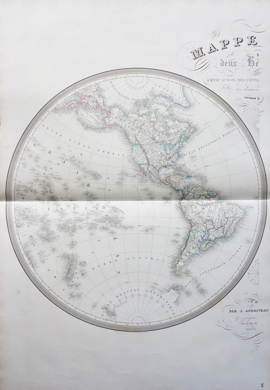
1854ref. LBW-1798Paris J. Andriveau-Goujon 1854 En deux feuilles non jointes pouvant former une carte d'environ 870 mm x 1,31 m.
1850ref. 44333(London), JAs (James) Wyld, (around 1850). (62,5 x 94 cm.). Engraved map, with original outline colourung.. A few small tears in margins, not affecting image.
1781ref. LBW-37301781. 214 x 329 mm.
1798ref. LBW-1710Paris, 1798. 322 x 427 mm.
1798ref. LBW-7904[Paris, P.G. Chanlaire et E. Mentelle, An six de la République - 1798]. 316 x 428 mm.
1798ref. LBW-7943[Paris, P.G. Chanlaire et E. Mentelle, An six de la République - 1798]. 330 x 430 mm.
1827ref. LBW-6186Paris, chez l'auteur, 1827. 391 x 746 mm.
1800ref. LBW-5393Paris, Dezauche,1800. 455 x 658 mm.
1824ref. LBW-1715[Paris, 1824]. 475 x 630 mm.
ref. 135430aafBerlin, Safari-Verlag, 1985, gr. in-8vo, 402 S. mit 18 Farbtafeln, 73 Kunstdrucktafeln u. 40 Abb. im Text, (mit 65 S. 2-spaltig: Verzeichnis der Kartographen), Original-Leinenband. Mit farbig ill. Schutzumschl.
ref. 8696Madrid, 1770. Une feuille pliée et toilée de 38 x 39 cm
ref. 8699Madrid, 1785. Une feuille pliée et toilée de 37 x 40 cm.
ref. 8700Madrid, 1784. Une feuille pliée et toilée de 84 x 87 cm.
ref. 8701Madrid, 1787. Une feuille pliée et toilée de 38 x 41 cm.
ref. 8703Madrid, 1787. Une feuille pliée et toilée de 37 x 40 cm.
ref. 8704Madrid, 1795. Une feuille pliée et toilée de 75 x 87 cm.
1773ref. 32941Nürnberg, Homannianos Heredes, 1773. 48,5x53,5 cm. Engraved and original hancoloured map of Poland and neighbouring areas. A tear in upper margin just touching the coloured image area. A very small hole in lower part of map in the folding.
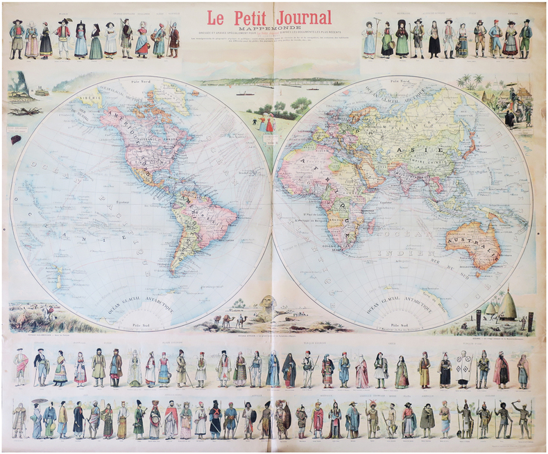
1897ref. LBW-8232Paris, Le Petit Journal, [1897]. 0,90 x 1,06 m.
1800ref. LBW-744Paris, Jean, [circa 1800]. 513 x 754 mm.
ref. 89919Suffolk, The Boydell Pres 2001, 240x170mm, XIII - 261pages, paperback. Book in good condition.
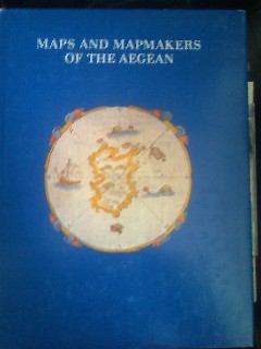
1985ref. CCC00460apla6. In-4, relié toilé marron d'édition, jaquette illustrée (legerement frottée sur les coins), livre en tres bon état. 267 pages. Illustré. Éditeur : Athens, Olkos LTD texte en anglais. Date d'édition : 1985
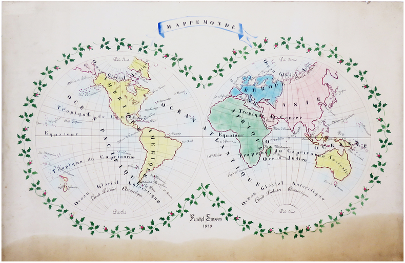
1878ref. LBW-66281878. 61 x 90 cm.
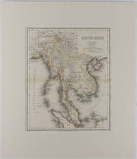
1866ref. 175919Hildburghausen: Bibliographischen Instituts. 1866. Engraved map with outline hand colour central fold 37 x 30 cm 47.4 x 36.2 cm sheet colour key to territorial control and administrative boundaries major cites towns roads rivers and mountains relief shown by hachures light toning in very good condition preserved in modern window mount. Detailed 19th Century regional map of the Malay Peninsula Vietnam Cambodia etc. extending from the Straits of Malaca and Singapore north to Hainan and the Gulf of Tonquin. Text in German prepared for Meyer's Hand Atlas noted in the marginal caption top-left . Bibliographischen Instituts unknown
1963Ten issues in offwhite printed wraps; approx. 40-60p per issue, b&w illus., maps ; 25 cm Offerd as a lot only. Includes Number 5 Printed Maps of Tasmania ; No.16 Dictionary of Mapmakers Part I ; No. 32 French Explorer Maps of New Zealand; No. 39 Comparative Cartography ; No. 40 Dictionary of Mapmakers Part III; No. 44 Printed Maps of New South Wales, 1773-1873 ; No. 45 Smith's Virginai and its Derivatives ; No. 68 Printed Maps of America Part 1 by Tooley ; No. 69 Printed Maps of Amerca Part II by Tooley; No. 80 Printed Maps of America Part III by Tooley. || Cartography; Maps. Maps -- Bibliography. Cartes -- Collectionneurs et collections. Maps, Cartas; Bibliography.