11.756 resultados
No publication date, scale 1: 50 000. eng
1992ref. 2083002116201558Meiji Maps by Yoshio Tamano and others 1992. Soft Cover. Fine. The book is in fine condition. Meiji Maps by Yoshio Tamano and others paperback
ref. M14278Pleubian et son passé , 1991 , in8 à l' italienne br ,
ref. SLIVCN-9830096003354PASSE-TEMPS EDITIONS
ref. SLIVCN-9830096003347PASSE-TEMPS EDITIONS
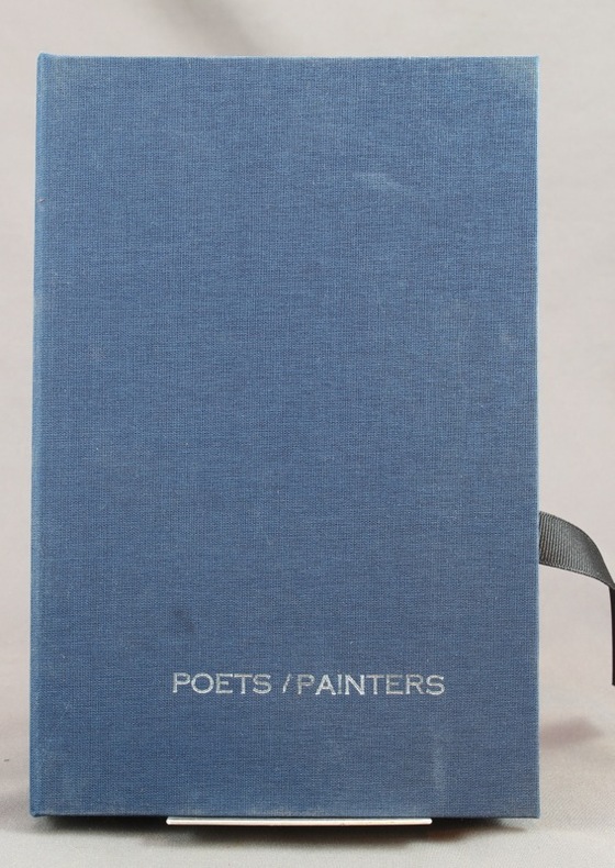
2008ref. 7673San Fransisco, Sore Dove Press, 2008. 31 cartes en carton de 21,7 x 14 cm, dont une "carte de titre", imprimées en noir au verso, sous emboîtage de toile bleu nuit, titre argenté au premier plat, ruban noir pour extraire les cartes de l'emboîtage. Comme neuf.
1974ref. R320099599BIBLIOTHEQUE EUROPEENNE - ZALTBOMMEL. 1974. In-8. Relié. Bon état, Couv. convenable, Dos satisfaisant, Intérieur frais. environ 115 pages augmentées de nombreuses photos en noir et blanc, situées. . . A l'italienne. Classification Dewey : 741.68-Illustrations des cartes postales
ref. LBW03d6aParis, Benard, [circa 1850]. 212 x 296 mm.
BIBLIOTHEQUE EUROPEENNE - ZALTBOMMEL. 1974. In-8 Carré à l'italienne. Relié. Bon état. Couv. convenable. Dos satisfaisant. Intérieur frais. environ 115 pages augmentées de nombreuses photos en noir et blanc, situées
2011ref. 1273042011 Editions MA - 1ère Edition - Mai 2011 - 444 pages
1978one large folded map, slighted frayed at edges. eng
ref. 51388Paris 1775 1 carte entoilée, carte pliée de format: 45 cms x 50,5 cms, décrivant la Pologne, la Lituanie et la Courlande. Carte gravée, aux contours rehaussés en couleurs à l'époque des possessions ou partages de ce territoire entre les russes, les prussiens et les autrichiens (entoilage de l'époque sur tissu écru). La Courlande (Kurland) est une des 4 régions de la Lettonie actuelle. En haut à gauche grand cartouche gravé: POLEN LITAUEN UND KURLAND (Russischer Antheil, Prussischer Antheil, Oestereichscher Antheil). Bel exemplaire
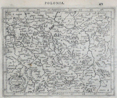
1661ref. LBW0253c[1661]. 104 x 126 mm.
ref. SLIVCN-9830096001220PASSE-TEMPS EDITIONS
1610ref. LBW0616bDordrecht Adrianus Bottius 1610 149 x 177 mm.
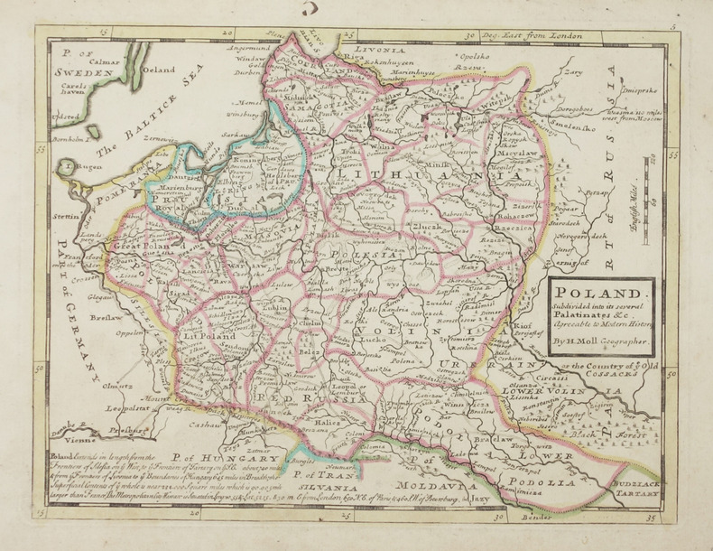
1736ref. LBW-2903Londres, Thomas and John Bowles, [circa 1736]. 199 x 260 mm.
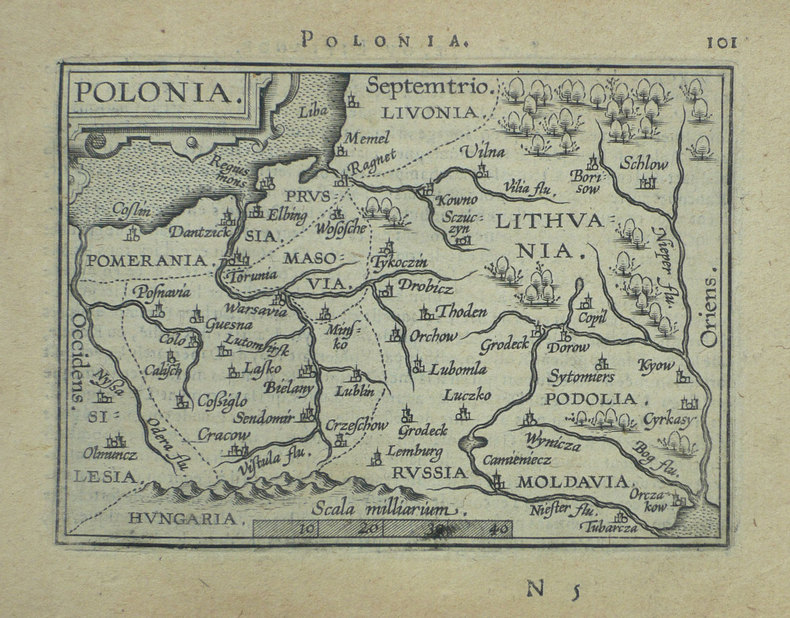
1598ref. LBW-1390Anvers 1598 82 x 108 mm.
1968Folded map of Warsaw and information guide. eng
19591 multi-fold, multi-color map housed in stiff pink printed wraps/ Scale: 1: 8,000,000 mapa : 134 x 202 cm. In Russian. Finely detailed map of the former Union of Soviet Socialist Republics (USSR). Very large ( approx 2 x 4.5 feet)
180031,5 x 37,5 cm (Blattgröße 40 x 50 cm). *Blatt mit Numererierung "12". Vermutlich aus einem großformatigen Österr. Schulatlas zu Anfang des 19. Jahrhunderts. Die Karte zeigt die Steyermark in ihren poitischen Grenzen mit Grenzkolorit. - Mittelfalz, geringe Randbräunung. Landkarten de
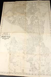
1908ref. 13531Seattle: Polk's 1908. Folded map. Very Good-. Folded paper map measuring 22.5 x 31 inches. Rubbed edges; a few spots; water damage to rear. Now housed within a clear removable archival protector with acid-free backing. If ordered online map will ship in box well packed in folded state. Polk's unknown
1954ref. UTUCPOL00JMJBobbs-Merrill 1954. Very Good. Tucker Glenn . Poltroons and Patriots: A Popular Account of the War of 1812 Two volumes. Tucker Maps W.T. Indianapolis: Bobbs-Merrill 1954. 812pp. Indexed. Illustrated. 8vo. Cloth with gilt lettering. Book condition: Very good with lightly bumped and yellowed spines. Slipcase is very good with light rubbing and yellowing. Includes monthly bulletin of American History Publication Society. Bobbs-Merrill hardcover books
1997Book appears in mint unread condition. 127pp. Tourist guide to Pompeii and Vesuvius. Very well illustrated.
Madrid, 1856. Un mapa de 84 x 111 cm., plegado a 21 x 14 cm., coloreado, con planos particulares de Pontevedra; Tuy.; Contornos de Caldelas; Desembocadura del río Miño; Castillo, Puerto y Villa de Bayona; Ría e Isla de Arosa; Vigo; Contornos de Pontevedra. Encuadernación original en cartoné y media tela.