Benchmark MapsBiblio.com
12.245 resultados
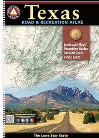
ref. ria9798986387956_inpPaperback / softback. New. New Book; Fast Shipping from UK; Not signed; Not First Edition; Everything is bigger in Texas and our atlas is no exception! The Texas Road & Recreation Atlas is our largest title featuring 200 pages of maps and guides covering the vastness of the Lone Star State from its most-populous cities to i paperback
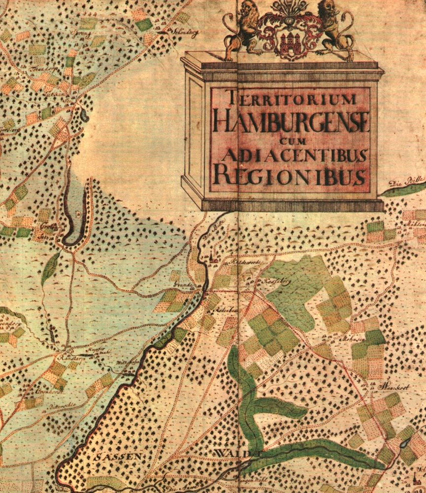
1985ref. 55436(Braunschweig, Archiv-Verlag, 1985). 1 mehrf. gefalt. farb. Karte (Blattgröße ca. 48 x 60 cm).
1994198 pages including index. Maps and mapping strategies in Contemporary Canadian and Australian fiction. Examines maps as ambivalent symbols of national culture, as vehicles for the representation of cultural history, and as often self-parodic analogues for the literary text. Clean, bright and fresh copy in attractive green cloth boards. Small chips from upper edge of dust jacket back panel. An excellent copy. Book
1952ref. 1204090009Government Printing Office 1952. Hardcover. Very Good. xiii 875 p.; 26 cm. Blue cloth. Good binding and cover. Shelf wear. Clean unmarked pages. Government Printing Office hardcover
1985ref. AUB-5987R. Gilliard S.A. 1985. Bel exemplaire relié, reliure ornée d'éd., in-4 carré, 84 pages.
1771ref. 27627Bordeaux Lattré 1771 carte ancienne enn deux feuilles, colorée d'époque en vert , rouge et jaune, cartouche non coloré, par Joseph-Nicholas Delisle, gravée par Arrivet. Format total : 50 centimètres de haut par 39 centimètres de large, 1771 Bordeaux Lattré Editeur,
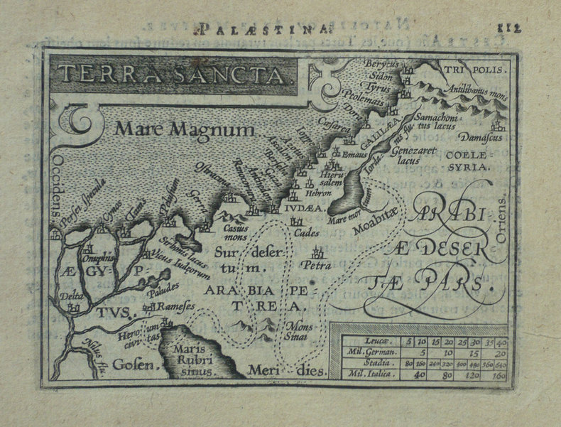
1598ref. LBW-1425Anvers 1598 80 x 105 mm.
1933pp. 323 - 487. Illustrated with numerous folding plates, maps and photographs. Quarto. Original printed wraps, chipped. Lacks spine. Front wrap detached. HOLY LAND BOX 1
1930Map on paper measuring 15 x 20 ins (approx. 38 x 50 cms) folding in 8 panels to 7.5 x 5 ins (approx. 19 x 12.75 cms); original printed wrappers, contemporary signature on front wrappers, upper hinge tender else a very good, clean copy.
ref. SLIVCN-9830096001909PASSE-TEMPS EDITIONS
ref. SLIVCN-9830096001893PASSE-TEMPS EDITIONS
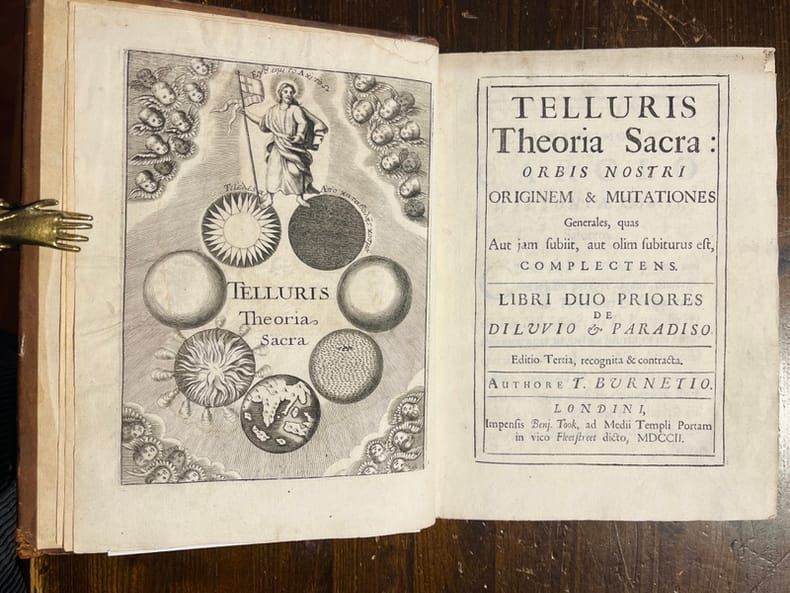
1702ref. 6312Londres, Benj. Took, 1702. In-8 de [16]-356p., plein veau brun, dos muet à nerfs, plats décorés de filets et fleurons à froid, roulette dorée sur les coupes.
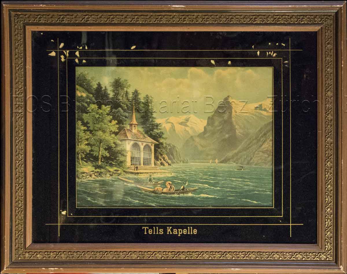
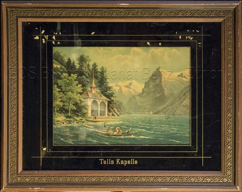
1860ref. 824CG(um 1860). Chromolithographie hinter Glas. Bildausschnitt: 24 x 33 cm. + Wichtig: Für unsere Kunden in der EU erfolgt der Versand alle 14 Tage verzollt ab Deutschland / Postbank-Konto in Deutschland vorhanden +, Abb.
1860ref. 824CG(um 1860). Chromolithographie hinter Glas. Bildausschnitt: 24 x 33 cm.
1983Worn covers, staining along top edge. eng
1979ref. 2090502113708698Not Available 1979. Soft Cover. Fine. The book is in fine condition. Not Available paperback
1783ref. ST19355London: Engraved by G. Terry and Sold by T. Longman London and W. Wilson Dublin 1783. Second Corrected Edition. 260 x 155 mm. 10 1/4 x 6". XXVII 289 pp. 4 leaves index. Contemporary half calf over marbled boards flat spine divided into panels by gilt rules red morocco label very neat repair to head of front joint and top of spine. Engraved title page with vignette and dedication leaf large folding map of Ireland and 289 engraved maps. Title page with early ink signature of Jos. Sabine. Moreland & Bannister p. 190; Tooley "Maps and Mapmakers" p. 94. Small signs of age and wear to the binding including slight crackling and nicks to the spine folding map with faint dampstain to tail margin two negligible ink spots to blank area on the map of the Irish Sea but A VERY APPEALING COPY quite clean and remarkably fresh internally and in an entirely solid period binding. This is the second corrected edition of the first comprehensive road atlas of Ireland offered here in especially attractive condition. In response to increasing demand for accurate maps of the country's road system the Irish House of Commons commissioned George Taylor and Andrew Skinner who together had previously produced the first road atlas of Scotland among other works to undertake a survey of the land. Taylor and Skinner completed their work in 1777 and published the first edition of their findings in 1778. This second edition includes updates to the year 1783 as well as an additional map no. 289. Renowned for their precision and detail Taylor and Skinner's maps clearly show roads crossroads and bridges as well as topographical features such as hills lakes and rivers including the direction of the water flow; landmarks such as castles churches and ruins; and the names of local landlords and their homes. The maps appear either as half-page strips or in full-page and the distances are given in both Irish and English miles 11 Irish miles being equal to 14 British miles. The robust list of subscribers which includes a number of earls viscounts lords bishops and British and Irish army men demonstrates the great need for and widespread success of this important work. Our former owner may well be the famed and controversial naturalist Joseph Sabine 1770-1837 who often signed his name as "Jos. Sabine" as seen here. He certainly had good reason to own maps of Ireland. He was from an Anglo-Irish family himself and was Honorary Secretary of the Horticultural Society a position which at the time carried great clout in the botanical community and one that presupposed knowledge of geography across the realm. DNB tells us that "Sabine played a leading part in the establishment of the society's garden first at Hammersmith and afterwards at Chiswick; in sending out David Douglas and others as collectors; in starting local societies in connection with the Horticultural Society; and in growing and distributing new and improved varieties of flowers fruits and vegetables throughout the country." While not a rare book this is the kind of volume that would have normally encountered frequent and inevitably damaging use so to find a copy as well preserved as this one is a lucky occurrence. Engraved by G. Terry and Sold by T. Longman, London and W. Wilson, Dublin unknown books
1783ref. ST19355London: Engraved by G. Terry and Sold by T. Longman London and W. Wilson Dublin 1783. Second Corrected Edition. 260 x 155 mm. 10 1/4 x 6". XXVII 289 pp. 4 leaves index. Contemporary half calf over marbled boards flat spine divided into panels by gilt rules red morocco label very neat repair to head of front joint and top of spine. Engraved title page with vignette and dedication leaf large folding map of Ireland and 289 engraved maps. Title page with early ink signature of Jos. Sabine. Moreland & Bannister p. 190; Tooley "Maps and Mapmakers" p. 94. Small signs of age and wear to the binding including slight crackling and nicks to the spine folding map with faint dampstain to tail margin two negligible ink spots to blank area on the map of the Irish Sea but A VERY APPEALING COPY quite clean and remarkably fresh internally and in an entirely solid period binding. This is the second corrected edition of the first comprehensive road atlas of Ireland offered here in especially attractive condition. In response to increasing demand for accurate maps of the country's road system the Irish House of Commons commissioned George Taylor and Andrew Skinner who together had previously produced the first road atlas of Scotland among other works to undertake a survey of the land. Taylor and Skinner completed their work in 1777 and published the first edition of their findings in 1778. This second edition includes updates to the year 1783 as well as an additional map no. 289. Renowned for their precision and detail Taylor and Skinner's maps clearly show roads crossroads and bridges as well as topographical features such as hills lakes and rivers including the direction of the water flow; landmarks such as castles churches and ruins; and the names of local landlords and their homes. The maps appear either as half-page strips or in full-page and the distances are given in both Irish and English miles 11 Irish miles being equal to 14 British miles. The robust list of subscribers which includes a number of earls viscounts lords bishops and British and Irish army men demonstrates the great need for and widespread success of this important work. Our former owner may well be the famed and controversial naturalist Joseph Sabine 1770-1837 who often signed his name as "Jos. Sabine" as seen here. He certainly had good reason to own maps of Ireland. He was from an Anglo-Irish family himself and was Honorary Secretary of the Horticultural Society a position which at the time carried great clout in the botanical community and one that presupposed knowledge of geography across the realm. DNB tells us that "Sabine played a leading part in the establishment of the society's garden first at Hammersmith and afterwards at Chiswick; in sending out David Douglas and others as collectors; in starting local societies in connection with the Horticultural Society; and in growing and distributing new and improved varieties of flowers fruits and vegetables throughout the country." While not a rare book this is the kind of volume that would have normally encountered frequent and inevitably damaging use so to find a copy as well preserved as this one is a lucky occurrence. Engraved by G. Terry and Sold by T. Longman, London and W. Wilson, Dublin unknown
1756Bella tavola topografica di Roma che riporta il tracciato degli antichi acquedotti romani. Il contenuto della tavola è dichiarato in alto a sinitra: "Dichiarazione delle note della Tavola: A. Mura odierne di Roma B. Mura di Roma anteriori all'Imperatore Aureliano Aquedotto arcuato della Marcia, Tepula, e Giulia Aquedotto arcuato della Claudia e Anione Nuovo Archi Neroniani Archi Antoniniani Aquedotto sostruito Aquedotto sotterraneo Rivo sotterraneo, porzionario delle acque Circonferenza delle Regioni antiche di Roma Nota delle Vie antiche Le rimanenti note son dichiarate o nella Tavola, o nella Spiegazione consecutiva della medesima Piedi Antichi Romani"Le tre "figure" sono disegni tecnici che rappresentano le sezioni e il funzionamento degli antichi acquedotti. La tavola è la n. XXXVIII del tomo I delle Antichità Romane, prima edizione del 1756 edita da Bouchard e Gravier. Meravigliosa prova, ricca di toni, impressa a inchiostro bruno su carta vergata coeva con la tipica filigrana del “doppio cerchio e giglio con lettere CB” (Robison 33), con pieni margini, in ottimo stato di conservazione. A topographical map of Rome depicting the paths of the ancient aqueducts. The inscription "Dichiarazione delle note della Tavola", explains the contents that include named walls of Rome and subterranean aqueducts as well as identifying footprints of ancient remains."Dichiarazione delle note della Tavola: A. Mura odierne di Roma B. Mura di Roma anteriori all'Imperatore Aureliano Aquedotto arcuato della Marcia, Tepula, e Giulia Aquedotto arcuato della Claudia e Anione Nuovo Archi Neroniani Archi Antoniniani Aquedotto sostruito Aquedotto sotterraneo Rivo sotterraneo, porzionario delle acque Circonferenza delle Regioni antiche di Roma Nota delle Vie antiche Le rimanenti note son dichiarate o nella Tavola, o nella Spiegazione consecutiva della medesima Piedi Antichi Romani "Inset are technical drawings of aqueduct mechanisms. This is the plate XXXVIII of tome I of Antichità Romane, first edition by the French publisher Bouchard and Gravier in 1756. A great impression, printed with brown ink on contemporary laid, strong, paper with “double encircled fleur-de-lys with letter CB” watermark (Robison 33), with margins, perfect conditions. Wilton-Ely, 352; Focillon 217
ref. 54794Amsterdam.: Jodocus Hondius. Circa Early 17th Century. Map depicting the southeastern part of present day Ukraine and the Crimean peninsula including the northern most part of the Black Sea and reaching north to Smolensk. Published by Hondius in the French edition of the Mercator-Hondius Atlas. Hand outline colour topographical detail shown pictorially some wear along centrefold occasional pale foxing mostly in margins decorative title cartouche upper right corner French text on verso showing through clear plate mark even age toning 48.5 x 58 cm. . [Jodocus Hondius]. unknown
1617ref. LBW-1964[Arnhem, Joannes Jansson, 1617]. 129 x 170 mm.
Madrid, 1858. Un mapa de 74 x 101 cm., plegado a 21 x 14 cm., coloreado, con planos particulares de Tarragona; Tortosa; Contornos de Tarragona, y Reus. Ejemplar sin encuadernación.
ref. 79968Paris, Albin Michel, 1987. 13 x 21, 346 pp., quelques illustrations, reliure souple d'éditions bon état.
ref. 16519Broché - 14 x 22 - année 1999 - 219 pp - Editions Arkhana vox - illustrations
2003ref. 5321Taschen 2003 224 pages in-12 carré. 2003. Broché - illustrations couleurs. 224 pages.