"SCOTLAND - MERCATOR, G.MareMagnum
GRIFFIN (Frederick).Livre Rare Book
Scotland.
1960ref. LBW-8438The Scottish Tourist Board, [circa 1960]. 972 x 587 mm.

Librairie Le Bail · Paris, França€ 500,00
12.632 resultados
1595(Duisburg, 1595). 35x44,5 cm. Engraved map of the Northern part of Scotland from 58-61',20''North, showing Orkney Island, hebrides and Skye. Fine orig. handcolouring.
1595ref. 25266(Duisburg, 1595). 35x44,5 cm. Engraved map of the Northern part of Scotland from 58-61',20''North, showing Orkney Island, hebrides and Skye. Fine orig. handcolouring.
1960ref. LBW-8438The Scottish Tourist Board, [circa 1960]. 972 x 587 mm.
1982180 pages. Features: Migration between the core and the periphery; radar images of the earth from space; the development of maps and stripes in the brain; personal computers; samples of the Milky Way; the interaction of moving water and sessile organisms; the search for prime numbers; the lamps of Cosa; and more. Bit of writing to front cover and page 3. Covers partially detached from staples. Many nostalgic color photo ads, including an early Microsoft ad which incorporates their early green logo. Moderate wear. A quality copy. Magazine
1964ref. 2083002116202145Meiji Maps Miyasaka Kyouichi and others 1964. Soft Cover. Fine. The book is in fine condition. Meiji Maps Miyasaka Kyouichi and others paperback
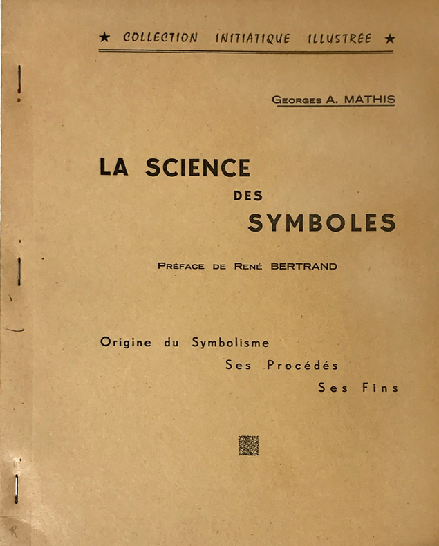
1961ref. 14766Rueil-Malmaison, Marcel Spaeth, "Collection Initiatique Illustrée", 1961 ; in-4 polycopié ; (2), IV, 105, (1) ff. recto seul.
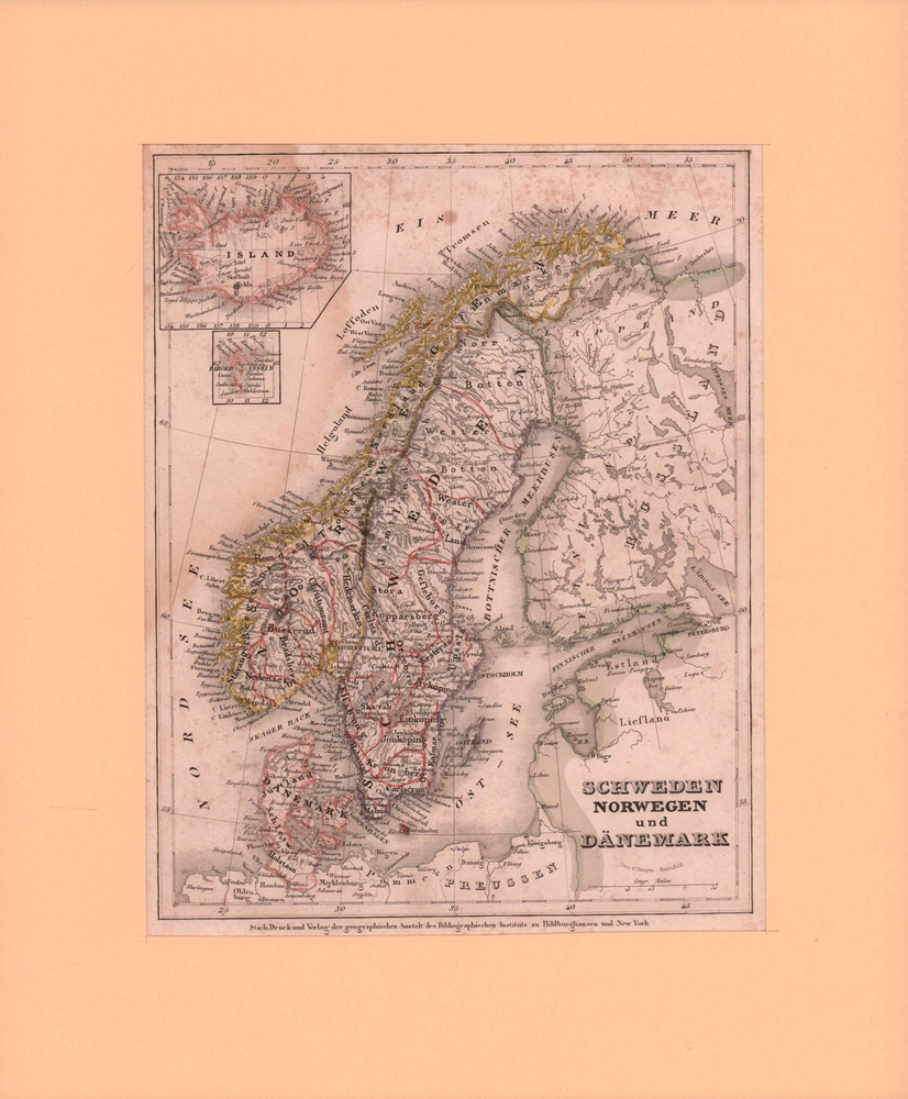
Format: 18 x 29,5 cm. *Leicht gebräunt, insgesamt gut erhalten. Landkarten de
1850ref. 77061Hildburghausen, Bibliographisches Institut, [ca. 1850]. Bildgröße 22,5 x 17,5 cm. Unter Feinkartonpassepartout.
1903pp. LXVI, 489 + 40 p. Phrase Book ["Danisch-Norwegische und Schwedische Sprachlehre zum Reisegebrauch"] + Plus 37 Maps and 22 Plans, mostly in color. Some light damp staining. Some maps trimmed close, loose or carelessly folded, with slight tears. All edges marbled. 16mo. 160 mm. Original full flexible rose cloth binding, gilt lettered. Name on title page. Overall, a good copy. TRAVEL/3
1934ref. 2083002116201764Oriental Maps Yoshimitsu Nonaka. Kiyoshi Tsukamoto 1934. Soft Cover. Fine. The book is in fine condition. Oriental Maps Yoshimitsu Nonaka. Kiyoshi Tsukamoto paperback
1978ref. 2090502113715672Not Available 1978. Soft Cover. Fine. The book is in fine condition. Not Available paperback
1982No marks or inscriptions. Crease to upper corner of rear cover. A very clean very tight copy with bright unmarked boards and no bumping to corners. 71pp. Castle and park views of the city Pushkin near St Petersburg, Russia. A significant city in Russian architecture and its connection with the great Russian poet Alexander Pushkin. All text in German.
ref. V00A-12754Hamburg-Bergedorf: Verlag Otto Heinevetter. Collectible - Good. Hamburg-Bergedorf: Verlag Otto Heinevetter 1982. Folio. Brown hardcover with gilt lettering on the front cover gilt top-edge. Facsimile of the 1652 publication. 40 full page maps. German edition. Near Very Good condition. Cover lightly scratched and soiled. The front and rear free endpapers have a large fold the front also showing light foxing. There is a short gifter's inscription to the front pastedown. Otherwise Very Good with light curling to a few lower corners. The title in English is "Schleswig-Holstein 1652. The maps by Johannes Mejer Husum from the new description of the two duchies of Schleswig and Holstein by Caspar Danckwerth D. 1652." books in German maps cartography Inquire if you need further information. NOT AVAILABLE FOR SHIPMENT OUTSIDE OF THE UNITED STATES. Hamburg-Bergedorf: Verlag Otto Heinevetter hardcover
14 x 20 cm. *Leicht gebräunt, insgesamt gut erhalten. Landkarten de
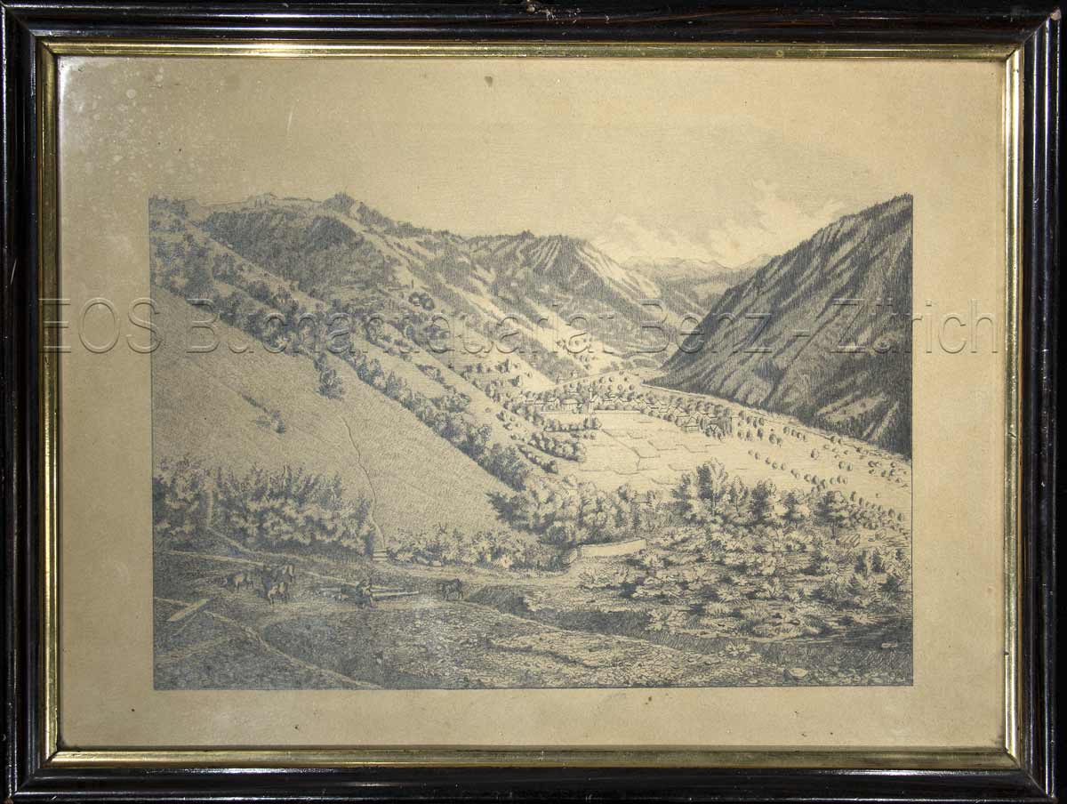
1924ref. 846CG1924. Bleistiftzeichnung. Bildausschnitt: 20 x 27 cm. + Wichtig: Für unsere Kunden in der EU erfolgt der Versand alle 14 Tage verzollt ab Deutschland / Postbank-Konto in Deutschland vorhanden +, Abb.
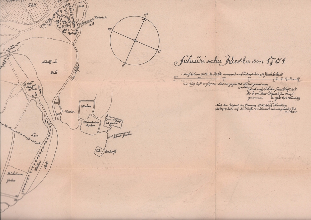
1938ref. 64597[Hamburg], 1938. 72 x 60 cm, mehrfach gefaltet.
1924ref. 846CG1924. Bleistiftzeichnung. Bildausschnitt: 20 x 27 cm.
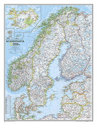
2013ref. 1-0792292677NATIONAL GEOGRAPHIC MAPS DIVISION 2013. Map. New. lam map edition. 1 pages. 24.00x2.00x2.00 inches. NATIONAL GEOGRAPHIC MAPS DIVISION unknown
1975ref. LBW-8298[Paris], Publicadvise, [vers 1975]. 99,5 x 149,5 cm.
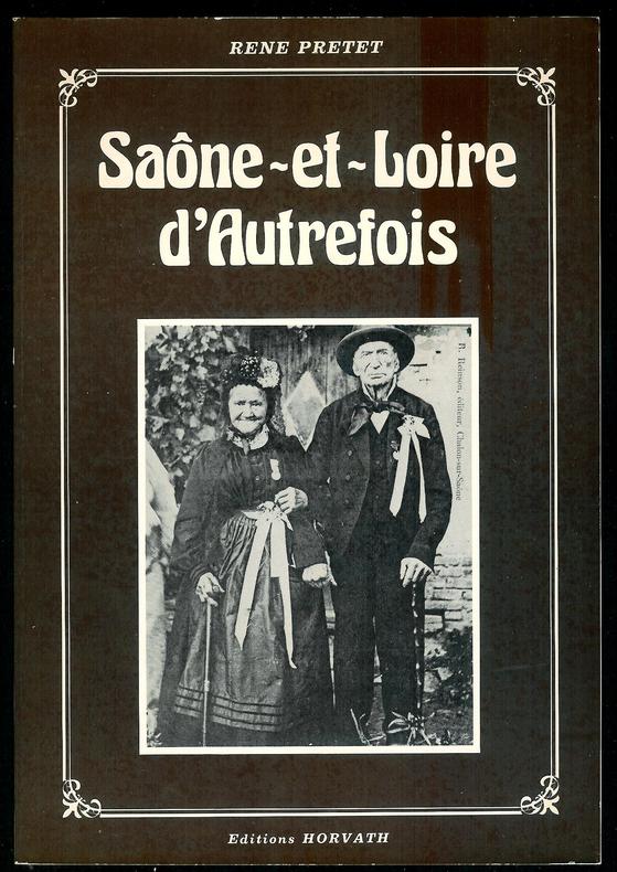
ref. 5203Roanne, Editions Horvath, 1981, 1 vol. in-8 br. sous couverture ill., de 221 pp.
2026ref. G1806475502I4N00Clear Vision Publishing 2026. Paperback. Very Good. May have limited writing in cover pages. Pages are unmarked. ~ ThriftBooks: Read More Spend Less.Dust jacket quality is not guaranteed. Clear Vision Publishing paperback
172047,5 x 54 cm (Blattgröße 48,5 x 55,5 cm). *Zeigt das Gebiet von Braunschweig und Goslar bis Potsdam und Torgau und Osterburg bis Leipzig. Oben links mit einer Gesamtansicht von Magdeburg (9 x 22,5 cm) in Kupferstich. Unten links Kartusche mit allegorischen Darstellungen. - Sauber und sehr gut erhalten. Landkarten de
1700S.l., Conradum Lotter, s.d. (vers 1700); 480/570 mm, 1 pp., une feuille. Coloriée d’époque. Allemagne. Bon état.
ref. 66534CBo.J. (Willem Janszoon Blaeu, geb. 1571 in Alkmaar oder Uitgeest (NL), gest. 21.10.1638 in Amsterdam, niederländischer Kartogr
1767(København, 1767). Kobberstukket prospekt af Sakskøbing. (17,8x25,5 cm.). Stukket af J. Haas efter tegning af I. Bang. Frisk eksemplar på skrivepapir.