12.289 resultados
ref. 14456s.l., Société de Sauvegarde des Monuments Anciens de l'Ardèche, s.d. (vers 1960), 1 carte postale de 15 x 10,5 cm, reproduction d'un dessin de Gagne (vue générale du chateau, prise en vue aérienne) ;
ref. 15196Sail-sous-Couzan, Robert-Bonneton, s.d. (fin XIXème ou début Xxème), 1 br. carnet in-12 oblong de 10 cartes postales détachables, serpentes ;
ref. RO20219603Non renseigné. Non daté. In-4. Relié toilé. Bon état, Couv. convenable, Dos satisfaisant, Intérieur frais. 23 cartes postales en noir et blanc des années 50-60 légendées. Jaquette en bon état. Texte tapuscrit.. Avec Jaquette. . . Classification Dewey : 741.68-Illustrations des cartes postales
2000ref. 1104Lausanne, Bibliothèque Historique Vaudoise, 2000. In-8 broché de 219 pages, couverture illustrée en couleurs.
ref. 19416Alès, Lou Raïol, s.d. (vers 1977), 1 broché, couverture illustrée. in-8 oblong, album de 28 pages de reproductions de cartes postales anciennes ;
1843ref. 57129London, Admiralty, 1843 8vo. In recent half cloth with gilt stamp and lettering to front board. Small paper label pasted on to verso front board and two stamps to title-page. Internally fine and clean. 32 pp.
197140 pages with many black and white photographic reproductions and maps. Includes the stories of The Dog and Big Rib, Charcoal, the Wood Mountain Mob, Dutch Henry, the Nelson-Jones Gang, Scraping Hide, Edward Fletcher, Vigilante Action, Riverboat Days in Manitoba, and Mike Running Wolf. Average soiling and wear. Unmarked. Book
1950ref. 2080502106911445Not Available 1950. Soft Cover. Fine. The book is in fine condition. Not Available paperback
1978Book is in excellent condition, appears unread. Binding is solid and square, covers have sharp corners, exterior shows no blemishes, text/interior is clean and free of marking of any kind. Dust jacket shows the slightest signs of shelf wear only, no tears. 35 illustrations, 4 maps, contents include: Salamis: a hero's glory, Fortification of Athens and Piraeus, Themistocles flight, The Persian king, Xerxes, didrachms, Battle of Salamis, etc.
ref. 152774857X.Gpaperback. Good. Access codes and supplements are not guaranteed with used items. May be an ex-library book. paperback
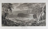
1833ref. 18856Milano: Fortunato Stella e Figli 1833. First Italian edition. Hardcover. f to vg. Oblong folio 12 6/8 x 18 1/2". 1 leaf Title 38 leaves Plates 1 leaf List of content. Original half morocco over burgundy paper covered boards. Gold lettering and tooling on spine. Rare first Italian edition of Paul-Louis-Bernard Drach's atlas volume of his "Sainte Bible de Vence" a series which was originally published in 27 volumes in Paris from 1827 to 1833. The striking 38 engraved plates featured in this atlas are composed of 13 maps by A. R. Fremin and 25 engravings signed by Falkeisen Angelini and Lanzani. The engraved plates have been laid down on beautiful hand-made paper and describe the following: 1. Map of the place of Eden Mesopotamy and Persian Gulf; 2. Noah's Arch construction; 3. Noah's Arch; 4. Map of the land divided among Noah's sons; 5. The Babel Tower; 6. Map of the Land of Canaan; 7. Map of Jews' Pilgrimage; 8. The Jerusalem Sahnedrin; 9. The Temple of Jerusalem plans and sections; 10. The Temple of Jerusalem square plan; 11. Map of ancient Jerusalem; 12. The Temple of Salomon; 13. The Temple's foundations; 14. The East Gate; 15. The Buildings of the Temple; 16. Musical Instruments of the Jews; 17. Hebrew Alphabet; 18. Jew's Vestments and worship's objects; 19. Two Menorah; 20. High Priest's vestments and Golden Menorah; 21. Moses' Tabernacle; 22. The Loaves of Proposition; 23. Plan and section of the Tabernacle; 24. The encampment of the Israelites; 25. Map of the Holy Land South; 26. Map of the Holy Land North; 27. Map of Syria; 28.Map of Israel under Salomon; 29. Plan of the House of the Forest of Lebanon; 30. The House of the Forest of Lebanon; 31. The Bronze Sea; 32. The Washings; 33. The Altars of the Holocausts; 34. Map of the Persian Empire; 35. Map of the Land of Canaan according to Ezechiel; 36. Map of Herod's Reign; 37. Zachary's Vision; 38. Map of the travels of Saint Peter and Saint Paul. The plates measure appr. 12 1/2 x 18 1/4" image size appr. : 9 1/2 x 14 6/8". Binding rubbed on covers and along edges. Head and tail of spine chipped. Previous owner's Ex-libris Calvin Bullock on inside of front cover. Minor and sporadic foxing along paper margin not affecting plates. Title and captions in Italian. Binding in overall fair interior in very good plates in near fine to fine condition. About the author: "David Paul Drach aka Paul-Louis-Bernard Drach after his conversion 1791-1865 was a Catholic convert from Judaism and librarian of the College of Propaganda in Rome. Drach received his early education from his father who was a rabbi. After spending some time in various Talmudic schools he became a teacher at Rappoltsweiler though only sixteen years of age. The love of the secular sciences brought him to Paris where he was welcomed by his coreligionists and became tutor in a wealthy Jewish family. His reputation as a teacher brought him Christian pupils; and this may have had some influence on his subsequent conversion; in fact he had always manifested some leaning toward Christianity. Drach had already begun the study of Greek and Latin so as to become acquainted with the Christian doctrines in their original sources. Struck by the accusation of some of the Fathers that the Jews had corrupted the Hebrew text he began a comparative study of the Hebrew and the Septuagint which study he continued in spite of the remonstrances of the president of the Central Consistory. Drach was received into the Catholic faith in 1823 together with his two daughters and his son Paul who afterward became a priest and a distinguished Biblical scholar. In 1827 Drach accepted the position of librarian of the Propaganda in Rome which position he held until the year of his death." From the Jewish Encyclopedia. Fortunato Stella e Figli hardcover books
1833ref. 18856Milano: Fortunato Stella e Figli 1833. First Italian edition. Hardcover. f to vg. Oblong folio 12 6/8 x 18 1/2". 1 leaf Title 38 leaves Plates 1 leaf List of content. Original half morocco over burgundy paper covered boards. Gold lettering and tooling on spine. Rare first Italian edition of Paul-Louis-Bernard Drach's atlas volume of his "Sainte Bible de Vence" a series which was originally published in 27 volumes in Paris from 1827 to 1833. The striking 38 engraved plates featured in this atlas are composed of 13 maps by A. R. Fremin and 25 engravings signed by Falkeisen Angelini and Lanzani. The engraved plates have been laid down on beautiful hand-made paper and describe the following: 1. Map of the place of Eden Mesopotamy and Persian Gulf; 2. Noah's Arch construction; 3. Noah's Arch; 4. Map of the land divided among Noah's sons; 5. The Babel Tower; 6. Map of the Land of Canaan; 7. Map of Jews' Pilgrimage; 8. The Jerusalem Sahnedrin; 9. The Temple of Jerusalem plans and sections; 10. The Temple of Jerusalem square plan; 11. Map of ancient Jerusalem; 12. The Temple of Salomon; 13. The Temple's foundations; 14. The East Gate; 15. The Buildings of the Temple; 16. Musical Instruments of the Jews; 17. Hebrew Alphabet; 18. Jew's Vestments and worship's objects; 19. Two Menorah; 20. High Priest's vestments and Golden Menorah; 21. Moses' Tabernacle; 22. The Loaves of Proposition; 23. Plan and section of the Tabernacle; 24. The encampment of the Israelites; 25. Map of the Holy Land South; 26. Map of the Holy Land North; 27. Map of Syria; 28.Map of Israel under Salomon; 29. Plan of the House of the Forest of Lebanon; 30. The House of the Forest of Lebanon; 31. The Bronze Sea; 32. The Washings; 33. The Altars of the Holocausts; 34. Map of the Persian Empire; 35. Map of the Land of Canaan according to Ezechiel; 36. Map of Herod's Reign; 37. Zachary's Vision; 38. Map of the travels of Saint Peter and Saint Paul. The plates measure appr. 12 1/2 x 18 1/4" image size appr. : 9 1/2 x 14 6/8". Binding rubbed on covers and along edges. Head and tail of spine chipped. Previous owner's Ex-libris Calvin Bullock on inside of front cover. Minor and sporadic foxing along paper margin not affecting plates. Title and captions in Italian. Binding in overall fair interior in very good plates in near fine to fine condition. About the author: "David Paul Drach aka Paul-Louis-Bernard Drach after his conversion 1791-1865 was a Catholic convert from Judaism and librarian of the College of Propaganda in Rome. Drach received his early education from his father who was a rabbi. After spending some time in various Talmudic schools he became a teacher at Rappoltsweiler though only sixteen years of age. The love of the secular sciences brought him to Paris where he was welcomed by his coreligionists and became tutor in a wealthy Jewish family. His reputation as a teacher brought him Christian pupils; and this may have had some influence on his subsequent conversion; in fact he had always manifested some leaning toward Christianity. Drach had already begun the study of Greek and Latin so as to become acquainted with the Christian doctrines in their original sources. Struck by the accusation of some of the Fathers that the Jews had corrupted the Hebrew text he began a comparative study of the Hebrew and the Septuagint which study he continued in spite of the remonstrances of the president of the Central Consistory. Drach was received into the Catholic faith in 1823 together with his two daughters and his son Paul who afterward became a priest and a distinguished Biblical scholar. In 1827 Drach accepted the position of librarian of the Propaganda in Rome which position he held until the year of his death." From the Jewish Encyclopedia. Fortunato Stella e Figli hardcover
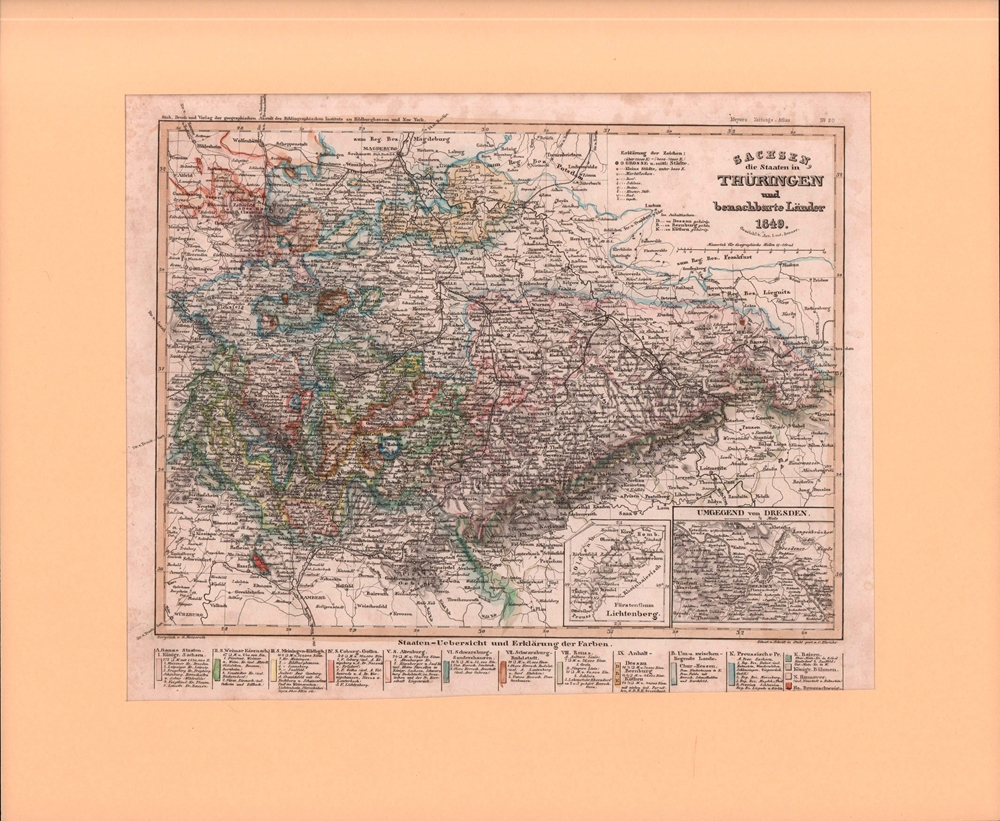
Format (Bildbereich): 18,5 x 25 cm. Leicht gebräunt, insgesamt gut erhalten. Landkarten de
1850ref. 76507Hildburghausen, Geograph. Anstalt des Bibliographischen Instituts, [ca. 1850]. Bildgröße 18 x 24 cm. Unter Feinkartonpassepartout.
in-12 carré, 167 pp., illustrations et fig., broché, couv. illustree. Tres bel exemplaire, très frais. [CA30-5][NV-28][BL-11][MI-19] Dés, rêves, I ching, cartes, tarots, nombres, dominos, boule de cristal, feuilles de thé, lignes de la main.
1693Holmiæ (Stockholm), 1693. 21,5x41,5 cm. Kobberstukket prospekt med ridende og vognkørende folk i forgrunden. Fra Svecia Antiqva et Hodierna.
Format: 18 x 29,5 cm. *Leicht gebräunt, insgesamt gut erhalten. Landkarten de
1693ref. 28092Holmiæ (Stockholm), 1693. 21,5x41,5 cm. Kobberstukket prospekt med ridende og vognkørende folk i forgrunden. Fra Svecia Antiqva et Hodierna.
ref. 66614CBo.J. (Johann Baptist Homann, geb. 20.03.1664 in Oberkammlach, heute Unterallgäu, gest. 01.07.1724 in Nürnberg, deutscher Kar
1956cm. 13,5 x 22, 64 pp. con 51 ill. 131 gr. 64 p.
1996ref. 41991996 broché (paperback) grand in-octavo, dos blanc (white spine), première de couverture illustrée en couleurs (front cover illustrated in colours), illustrations : bien documenté (well-documented), 256 pages, 1996 à Paris Editions Trajectoire,
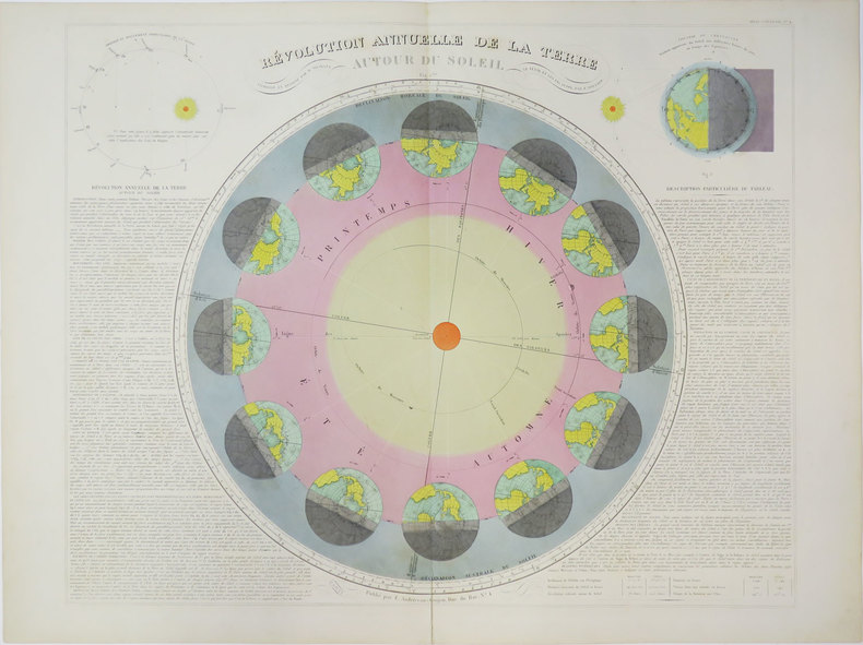
1880ref. LBW-3623Paris, E. Andriveau-Goujon, [circa 1880]. 469 x 586 mm.
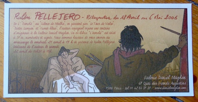
2006ref. 8565Galerie Daniel Maghen, 2006. Carton publicitaire au format 20 x 10 cm.
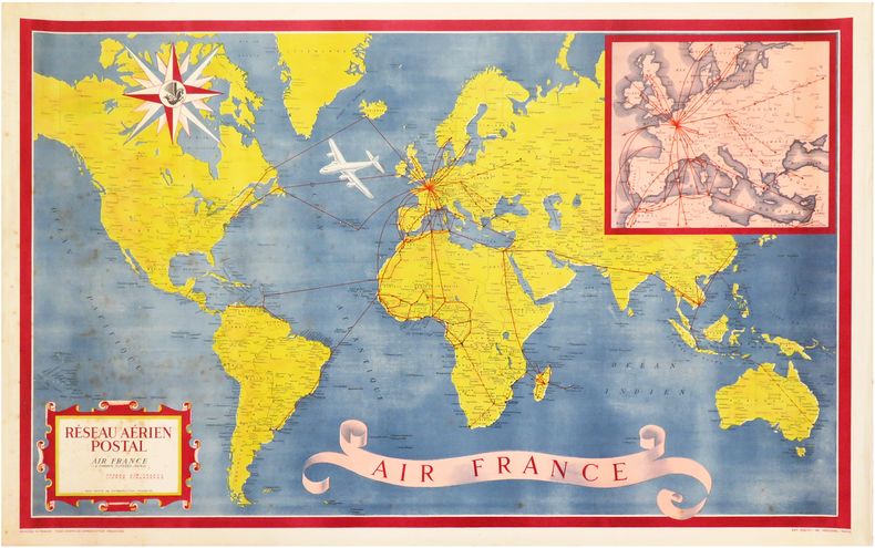
1948ref. LBW-3312Paris, Perceval, 1948. Lithographie en couleurs de 585 x 955 mm.
1965ref. ROD0030725Denoël. 1965. In-8. Broché. Bon état, Couv. convenable, Dos satisfaisant, Intérieur bon état. 104p. Nombreuses gravures noir et blanc.. . . . Classification Dewey : 741.68-Illustrations des cartes postales