INTERAVIA.Livre Rare Book

12.289 resultados
1938ref. LBW-8615Genève, Interavia S.A., 1938. 388 x 353 mm.
ref. 18195(vers 1700).
1756ref. LBW-12191756 206 x 277 mm.
ref. 238715Avignon, Alexandre Giroud, 1761 in-4 carré, 13 pp., demi-veau cerise, dos lisse fleuronné (reliure moderne). Dos insolé et passé.
1840ref. 24871Paris Théodore Moronval s.d. [vers1840] in-18 cart. moderne de papier brique, dos lisse, pièce de titre en long
1890ref. 35503465Paris, Delarue, sd (v. 1890) ; in-12, broché, couverture jaune illustrée. 36 pp.Bel exemplaire.
ref. 11043P., E. Bernard et Cie, 1885 ; petit in-8 ( 18 x 12 cm). Percaline rouge d'éditeur. Titre en noir sur le premeir plat, partiellement effacé. 1 livret de 30 pages et un grand tableau dépliant avec les cartes coloriées.
1952ref. 2092902141000174Bijutsu shubbansha 1952. Soft Cover. Fine. Size: A3 Bijutsu shubbansha paperback
ref. 114686Ediciones Lumi Planos, Argentina. 19 cm ; kart.
1986ref. 1725610687588Eusk-322, Federación Vasca de Montaña, Bilbao 1986
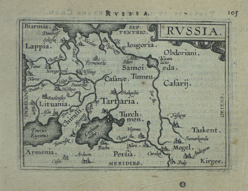
1838Paris, Delamarche, 1838; 475/336 mm, 1 pp., une feuille. Carte ancienne de la Russie. Bon état.
1976ref. 2080502106910374Not Available 1976. Soft Cover. Fine. The book is in fine condition. Not Available paperback
19501950 offprint of article which first appeared in the British Columbia Historical Quarterly, April, July-October, 1949. Pages 53-66 and 231-255. Four pages of glossy black and white reproductions of historic maps. Part I - From Russian Sources, 1741-1761. Part II - From Spanish Sources, 1761-1775. Unmarked. Average wear. Binding intact. A sound copy of this informative work. Book
1877ref. 2047Paris, Manceaux, 1877. 2 volumes in-4 de 1152 p. [616 + 536] (pagination continue), demi-basane noire, dos lisses ornés. Quelques rousseurs.
1838ref. A106Paris, Delamarche, 1838 ; 475/336 mm, 1 pp., une feuille. Carte ancienne de la Russie. Bon état.
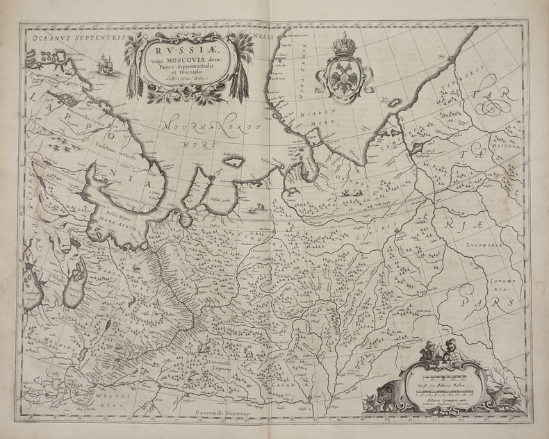
1658ref. LBW-2722[Amsterdam, 1658]. 438 x 540 mm.
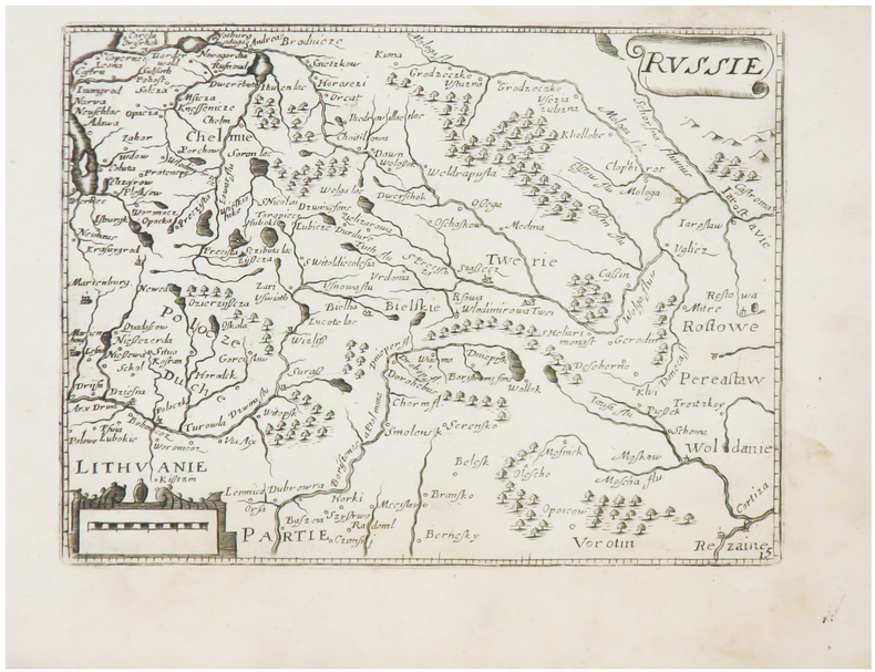
1667ref. LBW-6508[Paris, Jollain, 1667]. 128 x 168 mm.
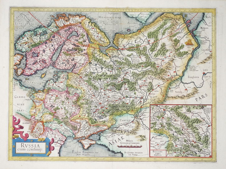
1606ref. LBW-22771606-1608. 354 x 475 mm.
1598ref. LBW-1431[Anvers, 1598]. 80 x 106 mm.
1855Six-leaf panoramic view. Toned lithograph in contemp. colour, c. 205 x 660 mm each. Matted individually. Splendid, coloured circular panorama of Vienna, measuring roughly four metres in length. - Plate 1: Spinnerin am Kreuz - Arsenal. Plate 2: Penzing - Leopoldsberg. Plate 3: Kalksburg - Schönbrunn. Plate 4: Rothneusiedl - Rodaun. Plate 5: Schwechat - Laxenburg - Oberlaa. Plate 6: Simmering - Schwechat. Gregosch taught at the Budapest School of Arts and Crafts and was one of the illustrators of "Die Österreichisch-Ungarische Monarchie in Wort und Bild" (cf. Th./B.). - Extremely rare, especially when complete and in colour: the copy in the Wienmuseum and that in the Eckl collection are both uncoloured. Nebehay/Wagner II, 208. Eckl collection, no. 869. Thieme/Becker XIV, 582.
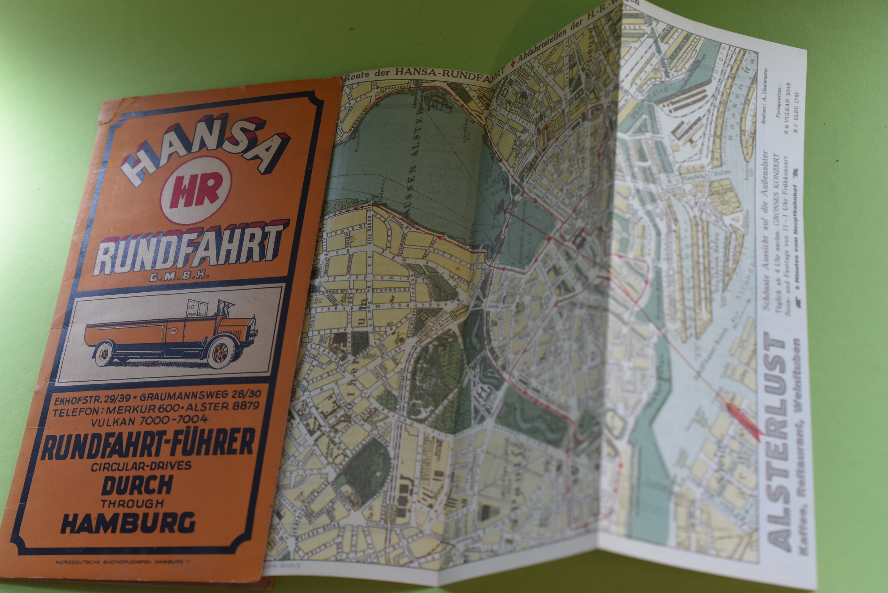
1928ref. 77624Hamburg, Norddeutsche Buchdruckerei, [1928]. Mehrfach gefalt. farbige Karte. Kartengröße 22 x 30 cm. Eingeheftet 36 TextS., mit s/w Abb. u. zahlr. Firmenanzeigen. OBroschur.
1922ref. 77553Hamburg, Norddeutsche Buchdruckerei ca 1922. 36 S., Faltkarte, 22cm Karton 0
1975No marks or inscriptions. No creasing to covers. A very clean very tight copy with bright unmarked boards, staples not rusted and no bumping to corners. Long fold-out family tree at rear in excellent condition. 32pp. History and guide to the stately home between Southport and Preston in Lancashire. We do not use stock photos, the picture displayed is of the actual book for sale. Every one of our books is in stock in the UK ready for immediate delivery.
1724Carte gravée au format 60 x 46 cm, Chez le Sr Danet, Gendre de l'Auteur sur le Pont Notre Dame à la Sphère Royale, 1724, à l'échelle de 500 pas communs Belle carte gravée de Rouen (une très petite brûlure, bel état par ailleurs) Français