WAGNER Mattaheus (1648 - LIpsia 1694)MareMagnum

12.289 resultados
1690Acquaforte e bulino, circa 1690. "In alto al centro lo stemma SPQR sormontato da una corona. Il prototipo iniziale per questo tipologia di panorami è identificabile nel panorama inciso dal Silvestre nel 1642 (si vedano tra l'altro i campanili di San Pietro all'epoca appena costruiti ed immediatamente dopo demoliti per ragioni statiche) e dunque raffigura Roma alla metà del '600. Gli edifici sono poco riconoscibili ed il Tevere segue un errato percorso sotto Trinità dei Monti. La stampa mostra un primo piano con colline ed alberi in controluce senza personaggi, e una legenda di 12 voci. Il nome dell'autore non è scritto sull'incisione ma solo sull'opera che non è stato comunque possibile reperire; non è chiaro neppure se il Wagner sia l'autore o l'editore. Incisa prima del 1694, anno in cui Wagner morì. Secondo alcuni studiosi l'editore potrebbe essere J. Wollf e la data di pubblicazione spostata a circa al 1710" (cfr. Marigliani p. 198). Buono stato di conservazione. Rara. Etching and engraving, circa 1690. In the top centre the SPQR coat of arms surmounted by a crown. The initial prototype for this type of panorama is identifiable in the panorama engraved by Silvestre in 1642 - see among other things the bell towers of St. Peter's that had just been built and immediately afterwards demolished for static reasons - and therefore depicts Rome in the mid 17th century. The buildings are hardly recognisable and the Tiber follows a wrong path under Trinità dei Monti. The print shows a foreground with hills and trees against the light without any characters, and a key-legend of 12 items. The name of the author is not written on the engraving but only on the title page, which could not be found anyway; it is not clear either if Wagner is the author or the publisher. Engraved before 1694, the year Wagner died. According to some scholars the publisher could be J. Wollf and the date of publication moved to around 1710" (cf. Marigliani p. 198). Good state of preservation. Rare. C. Marigliani, "Le Piante di Roma delle collezioni private", tav. 103.
1730Rara veduta panoramica della città edita dagli eredi di Jeremias Wollf ad Augsburg. La stampa, corredata da una legenda di 17 voci, mostra numerosi personaggi e animali sul primo piano. Il Tevere segue l'errato corso tipico di tutte le vedute della città di produzione nordica, tuttavia in questa incisione gli edifici sono disegnati in maniera molto più realistica e corrispondente al vero. Il prototipo iniziale per questa tipologia di panorami è identificabile nella veduta generale incisa da Israel SIlvestre nel 1642.Incisione in rame, coloritura coeva, in ottime condizioni. Rare panorama of the city edited by the heirs of Jeremias Wollf in Augsburg. The print, accompanied by a 17-item key-legend, shows numerous characters and animals in the foreground. The Tiber follows the wrong course typical of all city views of Nordic production, but in this engraving the buildings are drawn in a much more realistic way and correspond to reality. The initial prototype for this type of panorama can be identified in the general view engraved by Israel SIlvestre in 1642. Copper engraving, contemporary coloring, in very good condition. C. Marigliani, "Le Piante di Roma delle collezioni private", tav. 105.
1840Panorama della città ripreso dalla via Flaminia, all'all'altezza di Ponte Milvio. L'opera deriva da un dipinto di Karl Ludwig Frommel, che lo stesso autore incide e fa pubblicare dal Bibliographisches Institut di Hildburghausen (ma aveva sede anche ad Amsterdam e a New York) verso il 1840. Acquaforte, finemente colorata a mano, in ottimo stato di conservazione. Panorama of the city taken from Via Flaminia, outside of Ponte Milvio. The work is based on a painting by Karl Ludwig Frommel, which the same author engraved and had published by the Bibliographisches Institut of Hildburghausen (but he was also based in Amsterdam and New York) around 1840. Etching, finely hand-colored, in excellent condition.
1730(Nürnberg, ca. 1730). 51,5x41,5 cm. Engraved map of eastern Asia with part of China and Japan up to Saghalin Island, in original handcolouring. The broad margins a bit browned, orherwise fine.
1730ref. 27994(Nürnberg, ca. 1730). 51,5x41,5 cm. Engraved map of eastern Asia with part of China and Japan up to Saghalin Island, in original handcolouring. The broad margins a bit browned, orherwise fine.
ref. 91879aafParis, Hachette, s.d. fin XIXe, pt. in-8vo, chaque carte contient au verso une fiche historique sur le personnage en couleurs au recto, emboitage originale avec illustration.
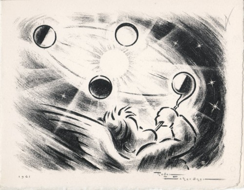
1961ref. 14781961 Carte de voeux de Roger Schardner et Madame pour l'année 1961. 12 x 15 cm, 2ff., portant une gravure en noir signée et datée en page 1 et les voeux finement calligraphiés à la mine de plomb à l'attention de M. le député Michel Boscher.
1764(København, 1764). Kobberstukket prospekt af kirken med omliggende ejendomme og begravelsesoptog foran. (17x24,5 cm.). Stukket af J. Haas. På skrivepapir. Lidt marginale brunpletter.
1764ref. 53311(København, 1764). Kobberstukket prospekt af kirken med omliggende ejendomme og begravelsesoptog foran. (17x24,5 cm.). Stukket af J. Haas. På skrivepapir. Lidt marginale brunpletter.
1764(København, 1764). Kobberstukket prospekt af Roskilde. (17x24,5 cm.). Stukket af J. Haas. På skrivepapir. Lidt marginale brunpletter.
1764ref. 53312(København, 1764). Kobberstukket prospekt af Roskilde. (17x24,5 cm.). Stukket af J. Haas. På skrivepapir. Lidt marginale brunpletter.
1952Feuille repli?e.
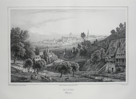
ref. LBW03d5eParis Benard circa 1850 217 x 298 mm.
2000No marks or inscriptions. No creasing to covers or to spine. A very clean very tight copy with bright unmarked boards, the tiniest of rubs to lower front edge and no bumping to corners. 44pp. Guide to the Rock of Cashel in Tipperary, Ireland. Well illustrated.
1911Ex-library book with the usual stamps, stickers, etc. Binding is solid and text/interior is clean and free of marking of any kind. 128 pages in small format. Rochester, New York's first guide book, an alphabetical listing of sites, businesses, educational facilities, government, pastimes, clubs, philanthropies "and other interests." Fold-out city map at front with a few small tears at attachment points to book, b&w photos, a few ads at back. Binding is worn and appears to be the library's with paperback covers adhered to hardback boards.
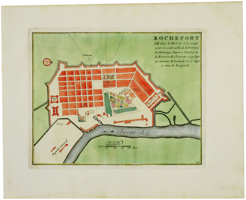
1702ref. LBW-1332[Amsterdam, Pierre Mortier, 1702]. 210 x 267 mm.
1974ref. RO30364909Bibliothèque européenne/S.F.L.. 1974. In-8. Cartonné. Etat passable, Coins frottés, Dos fané, Papier jauni. 76 pages illustrées en noir et blanc. Quelques rousseurs.. . . A l'italienne. Classification Dewey : 741.68-Illustrations des cartes postales
ref. Z1-F-060-01618BRGM. Used - Good. Ships from UK in 48 hours or less usually same day. Your purchase helps support Sri Lankan Children's Charity 'The Rainbow Centre'. Ex-library so some stamps and wear but in good overall condition. 100% money back guarantee. We are a world class secondhand bookstore based in Hertfordshire United Kingdom and specialize in high quality textbooks across an enormous variety of subjects. We aim to provide a vast range of textbooks rare and collectible books at a great price. Our donations to The Rainbow Centre have helped provide an education and a safe haven to hundreds of children who live in appalling conditions. We provide a 100% money back guarantee and are dedicated to providing our customers with the highest standards of service in the bookselling industry. BRGM unknown
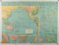
1945ref. 180206Sydney.: H.E.C. Robinson. Circa1945. Full colour inset maps principal cities and towns marked shipping routes international boundaries and railways. 99 x 73cm. Some small insect damage has been repaired on the verso visible on map as a few small lighter areas in the western Pacific. Pinpoint holes at folds paper repair along cover but a very good clean copy. From the Sydney publisher H.E.C. Robinson the firm founded in 1895 by Herbert Robinson 1857-1933 a founder of the Royal Geographical Society of Australasia. Although the map is undated North and South Korea are shown as divided which occurred in late 1945 and Manchuria is marked as still under Soviet occupation which only lasted until 1946 at which point it was handed over to Communist China. As well as what now would be considered Southeast Asia the main map shows the eastern half of India Tibet and parts of Mongolia the USSR and East Asia. Inset maps include: Caroline Islands Marshall Islands Federation of Malaya Singapore Hong Kong Taiwan Japan Hawaiian Islands Philippine Islands Midway Gaum and Wake Islands Fiji Islands Eastern & Western Samoa Santa Cruz and Solomon Islands New Caledonia Rabaul Tahiti Lord Howe etc. . H.E.C. Robinson. unknown
1972280 pages including glossary. Includes fold-out maps and many illustrations. Collecting sites. All major roads. National Parks: Craters of the Moon; Glacier; Grand Teton; Yellowstone. Average wear. Unmarked. Good working copy of this excellent and interesting reference. Book
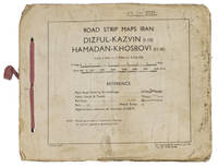
1944ref. ABC_4794483 Rep Group. I.E." 1944. Original beige printed paper wrappers side stichted by hand through 3 holes with a reddish pink cloth ribbon. Oblong 21 x 255 cm. With 1 index map and 16 numbered folding strip maps. Exceptionally rare collection of folded strip maps of roads in Western Iran which was very likely meant for military use during the Second World War. The abbreviated inscription on the front wrapper possibly stands for "24th brigade branch transportation office" though it is unknown which 24th brigade this would have been. The maps were originally printed on quarter inch sheets in 1942 and have been significantly enlarged for this edition to a scale of 1 inch to 2 miles. We have not been able to trace any other copies of either the first or second edition of this work anywhere.With an owner's inscription on the front wrapper. The maps and back wrapper have been reinforced with bookbinder's gauze. The wrappers are somewhat soiled creased and the edges are somewhat frayed. The maps have slightly browned and the index map has a small brown stain in the lower outer corner without affecting the image. Otherwise in good condition. 83 Rep Group. I.E.", hardcover
1959Large folding road map printed in green on paper measuring 16.0 x 19.0 ins (approx. 40.5 x 48.0 cms) folding in 12 panels to 8.5 x 3.5 ins (approx. 21.5 x 9.0 cms); original printed wrappers, folded as issued, yapped edges, covers very lightly dust-soiled else a very good, bright, clean copy.
Laminated folding map. Ca. 910 x 580 mm. Scale 1:1,500,000. Captions in English and Arabic. Road map of the Gulf region with 7 inset plans of Manama, Doha, Abu Dhabi, Kuwait, Dubai, Mutrah and Muscat. Apart from main and secondary roads and railways, the chart details larger and smaller towns, pipelines and oil fields. - Pierced near corners. Otherwise well preserved.
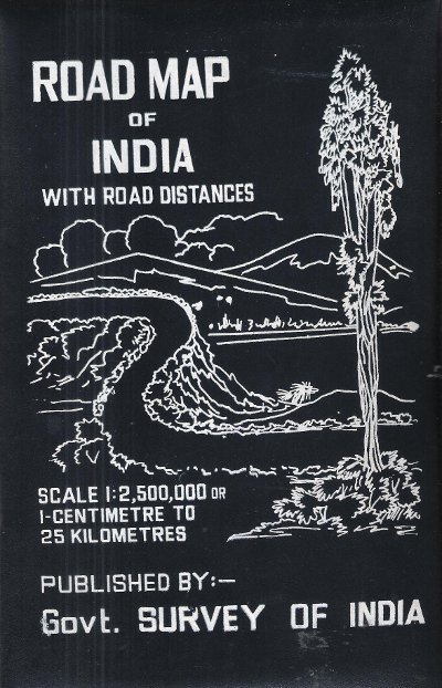
1977Carte en couleurs , imprimée sur très bon papier collé sur tissu tramé , se repliant dans une pochette plastifiée . Echelle 1 cm pour 25 kilomètres . Tableau des distances entre les grandes villes . Pour voyager en Inde ou pour afficher au mur . Trés belle carte .- 1 p. , 600 gr.
1977ref. 015281Gouvernement Survey of India 1977 150 Cm x 118 Cm Carte en couleurs , imprimée sur très bon papier collé sur tissu tramé , se repliant dans une pochette plastifiée . Echelle 1 cm pour 25 kilomètres . Tableau des distances entre les grandes villes . Pour voyager en Inde ou pour afficher au mur . Trés belle carte .- 1 p. , 600 gr.