DANMARKSKORT - J.B. HOMANN.MareMagnum
Homann, Johann BaptistAntiquariat.de
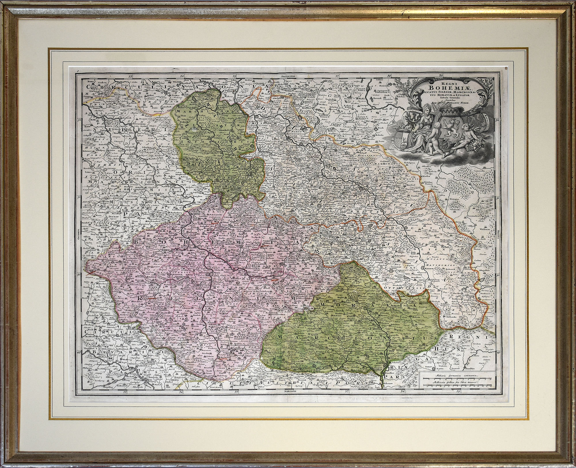
Antiquariat Lenzen · Alemania280,00 €
1740Nürnberg, (ca. 1740). Kobberstukket Danmarkskort med samtidig håndkolorereing, 49,5x59 cm. Visende også Skåne, Halland og Blekinge og i øverste højre hjørne stor kartouche med rigsvåbnet. Kortet er indrammet under glas i fin ramme af brun birkefiner.
1740ref. 49793Nürnberg, (ca. 1740). Kobberstukket Danmarkskort med samtidig håndkolorereing, 49,5x59 cm. Visende også Skåne, Halland og Blekinge og i øverste højre hjørne stor kartouche med rigsvåbnet. Kortet er indrammet under glas i fin ramme af brun birkefiner.
1675Amsterdam, Ca. 1675). 44,5x54,5 cm. Under glas i fin sølv/guldramme. Kobberstukket og håndkoloreret kort over Danmark.
1675ref. 48161Amsterdam, Ca. 1675). 44,5x54,5 cm. Under glas i fin sølv/guldramme. Kobberstukket og håndkoloreret kort over Danmark.
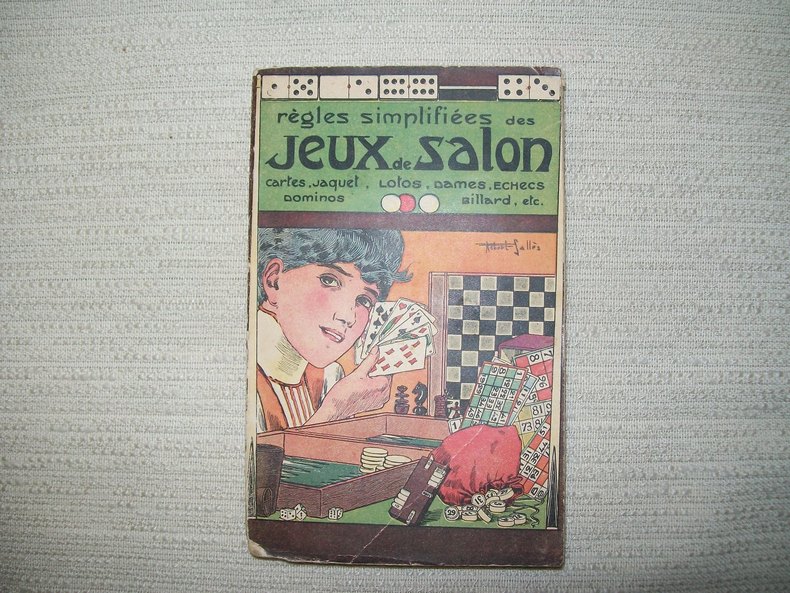
128ref. GITb905Paris Garnier Frères sd (1928). In-16 broché couverture illustrée par Robert Sallès 210pp. Orné de 2 figures dans le texte. Pliure angulaire sur le 1er plat.
1962ref. LFA-126739299Un ouvrage de 293 pages, format 120 x 190 mm, broché couverture couleurs, publié en 1962, Editions Albin Michel, bon état
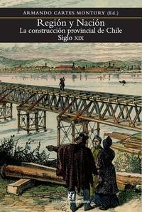
2020ref. x-9561126729Editorial Universitaria de Chile 2020. Paperback. New. 468 pages. Spanish language. 6.10x1.17x9.06 inches. Editorial Universitaria de Chile paperback
1993ref. 370191993, ed Musée de la Poste. in-4 br. remplié vert de 164 pages. Richement illustré nb et en couleurs. Se penchant sur des oeuvres d'art et des collections atypiques neuf auteurs contemporains s 'interrogent sur la Carte Postale : José Pierre - Gilbert Lascault - Anne-Marie Garat - Elisabeth Lebovici - Enrico Sturani - Régine Deforges - Jean-Marie Lhôte - François Baudot - Pierre Tilman. | Etat : Bon état général (Ref.: G4862)
ref. 60930n° 371 - novembre 1953 - nouvelle série - revue illustrée - in-4 broché - 50 pages
1968ref. 2080502106913718Not Available 1968. Soft Cover. Fine. The book is in fine condition. Not Available paperback
1725ref. PHO-2035Amsterdam, Jean Frédéric Bernard, 1725-1732, 2 volumes in-12 (175x105mm), 568pp. & 2ff.-424pp., frontispice au tome 4, brochage d’attente, plats tome 7 détachés, dos cassés, pages cornées, sans les cartes et illustrations.
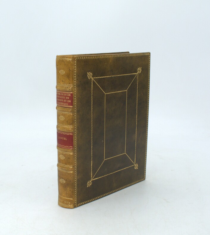
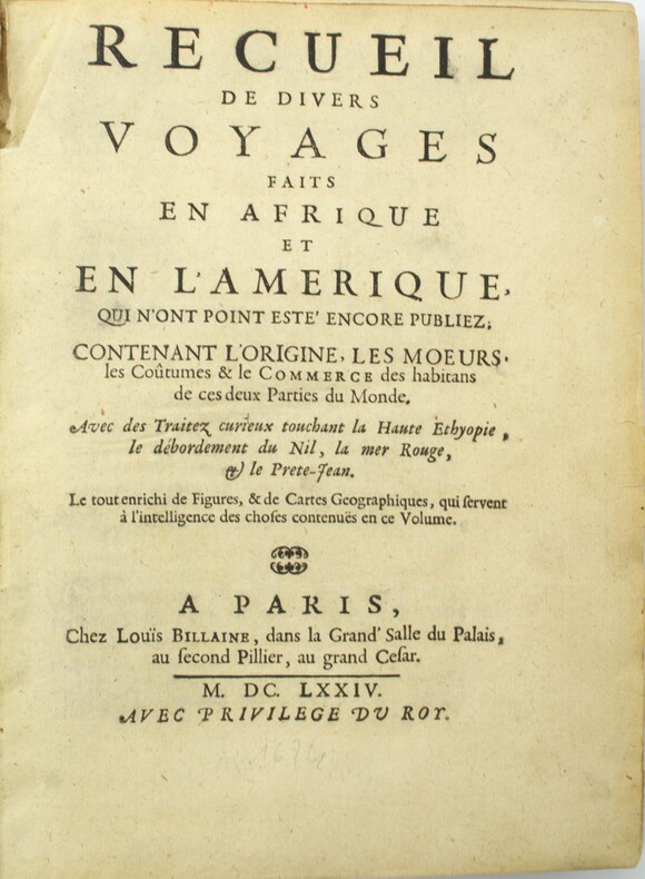
1674ref. PHO-2032Paris, Louis Billaine, 1674. in-4 (228x164) , relié plein veau , filets sur les plats , dos à nerfs orné avec titre , auteur et date (reliure pastiche),tranches rouge. L'ouvrage est illustré de 12 planches hors texte, une carte de l'Éthiopie dans le texte, trois cartes dépliantes (Barbades, Jamaïque et Virginie, Maryland et la Nouvelle-Angleterre) manque la carte du Nil, mouillures, déchirure et réparation au pli (carte des Barbardes)
1674ref. PHO-2243Paris, Louis Billaine, 1674, in-4 (228x164), basane postérieure (19eme), dos à nerfs avec titre, lieu et date, tranches marbrées, réparations au dos et aux coins, petite réparation au pli de la carte des Barbades, intérieur frais, illustré de 12 planches (13) et trois cartes dépliantes (Barbades, Jamaïque et Virginie, Maryland et la Nouvelle-Angleterre) manque la carte du Nil comme souvent et un faux titre
ref. 0366336738.Gpaperback. Good. Access codes and supplements are not guaranteed with used items. May be an ex-library book. paperback
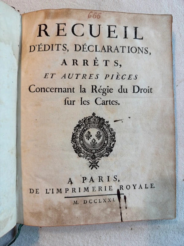
ref. 224383Paris, Imprimerie royale, 1771 34 pièces en un vol. in-4, vij pp. (titre et table des pièces), puis pagination multiple, enfin vij pp. de table des matières, basane fauve marbrée, dos à nerfs cloisonné et fleuronné, pièce de titre, encadrement de guirlande à froid sur les plats, guirlande dorée sur les coupes, tranches rouges (reliure de l'époque). Nombreuses mouillures.
1942ref. L7VCIV4N38L2UK Government: Survey Directorate HQ Tenth Army / Indian Field Survey Co. 1942. 42 chromolithographed topographic maps of parts of Iraq made from aerial photographs during World War II on a scale of 1:100000 and 1:253440 a quarter-inch to a mile. 68 x 50.5 cm & 60 x 47 cm. An impressive collection of Iraq maps compiled from the most current aerial photography and produced by the British Army for use in the Persian theatre of war during World War II. The cities and regions covered include Ain Sifni Aqra Tel Afar Salman Pak BaQuba Sumaika Penjwin Halabja Baghdad Kirkuk Dulaim Erbil and Mosul divisions.Previously folded. Generally well-preserved. Survey Directorate HQ Tenth Army / Indian Field Survey Co., unknown
ref. 16807Lyon 1757 in 12 (17,5x11) 1 volume reliure pleine basane fauve granitée de l'époque, dos lisse orné, pièce de titre de cuir vert, 163 pages [1]. Ex-libris gravé illustré de J.-B. Mercier (daté 1902). Bel exemplaire de ce très rare ouvrage
1792ref. 5151792 Paris, Buisson, 1792. 20 x 12,5 cm, in-8, VIII - 536 pp. - 2 grandes cartes dépliantes gravées en taille douce sur vergé bleuté (carte de la partie sud-est de l'Asie selon Ptolémée, et une autre selon les connaissances géographiques récentes), reliure de l'époque en demi-basane fauve à petits coins en vélin, dos à 5 nerfs, pièce de titre, tranches mouchetées.
1867ref. 14955Paris et Genève, Victor Masson et filles, 1867. 3 volumes in-8 de XX-464 + [4]-437-[3] + [4]-587-[4]p. pour l'errata, demi-veau brun, dos à nerfs ornés de filets et fleurons dorés, coupes et coiffes inférieures frottées, quelques rousseurs. 1 volume in-folio pour l'atlas, relié en demi-vélin blanc à coins, pièces de titre rouge au premier plat.
1677Grande pianta della città, stampata su due fogli reali, copia di quella realizzata da Giovan Battista Falda nel 1667 per papa Alessandro VII. Pianta a proiezione mista, orientata con il nord a sinistra. Topograficamente la carta del Sandrart è fedele a quella del Falda; le modifiche sostanziali sono nei cartigli, con le scritte in tedesco, e nella dedica a papa Innocenzo XI. Il cartiglio di destra raffigura gli stemmi dei Rioni, mentre in basso al centro sono incise delle piccole vedute delle sette chiese giubilari. Incisa a quattro mani con Johannes Meyer, questa pianta risulta per l’eleganza del segno, più raffinata rispetto al Falda, intagliata dal francese Lhuiler. "Copia della pianta piccola del Falda incisa dal Meyer che si firma in basso a sinistra Iohann Meyer fecit Tiguri. IN alto a sinistra, in luogo della dedica fatta dal Falda ad Alessandro VII, compare quella ad Innocenzo XI (1676-89) con la data 1677 e più in basso il nome di Ioachini Sandrart. La pianta è probabilmente anche contenuta nell'opera del Sandrart Der Alten und neue, pubblicata a Norimberga nel 1768" (cfr. Marigliani p. 219). Acquaforte, con margini, in eccellente stato di conservazione. Rara. Large plan of the city, printed on two real sheets, copy of the one made by Giovan Battista Falda in 1667 for Pope Alexander VII. Mixed projection map, oriented with north on the left. Topographically, Sandrart's map is faithful to Falda's; the substantial changes are in the cartouches, with the German inscriptions, and in the dedication to Pope Innocezo XI. The right-hand cartouche depicts the coats of arms of the Rioni, while small views of the seven Jubilee churches are engraved in the bottom centre. Engraved by four hands with Johannes Meyer, this plan is more refined in the elegance of its sign than the Falda, carved by the Frenchman Lhuiler. "Copy of Falda's small plan engraved by Meyer, signed at lower left Iohann Meyer fecit Tiguri. In the upper left corner, instead of the dedication made by Falda to Alexander VII, the dedication to Innocent XI (1676-89) appears with the date 1677 and lower down the name of Ioachini Sandrart. The plan is probably also contained in Sandrart's work Der Alten und neue, published in Nuremberg in 1768' (cf. Marigliani p. 219). Sandrart carved this plan together with Johannes Meyer; the result is a far more refained work compared to that of Falda, carved by Lhuiler. Etching, with margins, in excellent condition. Rare. Huelsen (1915): n. 119; Scaccia Scarafoni (1939): n. 200; A. P. Frutaz, "Le piante di Roma", CLVI ; TIB p. 317, 281 C1. C. Marigliani, "Le Piante di Roma delle collezioni private", tav. 126.
ref. OI-GGCC-RXV5New. unknown
ref. 015639Iolas 0 En feuilles
ref. 015641Iolas 0 En feuilles
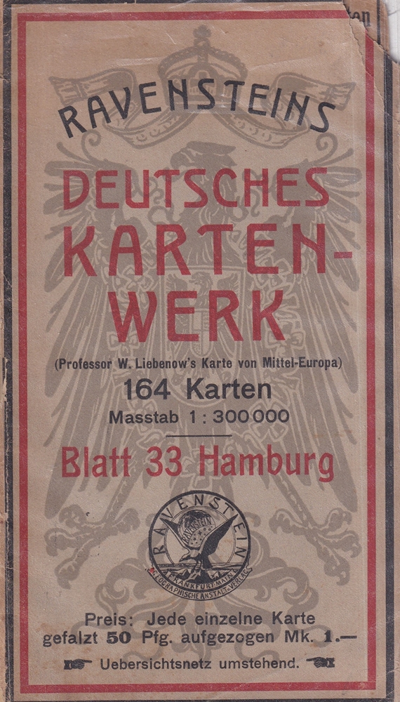
1910ref. 88261Frankfurt a. M. Ludwig Ravensteins Verlag, [ca. 1910]. Maßstab 1:300.000. Karte 27,5 x 36,5 cm. Blattmaß35 x 43 cm.