1859ref. 189711Calcutta.: Surveyor Generals Office. 1870. Reissue of 1859 edition. Lithographed map 57.2 x 93 cms; 61.1 x 96 cms sheet original folds old paper repairs to the verso and a sealed marginal tear central folds archivally strengthened some toning to the folds and creasing but the map in remarkably good clean condition. Impressive large Calcutta printing from the Survey of India showing Rajasthan Uttar Pradesh and surrounding states with extremely detailed delineation of settlements roads railways rivers and major points of interest the Taj Mahal is highlighted. . Surveyor Generals Office. unknown
1928ref. 70989Chicago IL: Illinois Commerce Commission 1928. First edition. Mammoth lithograph map 52 ½ x 34 inches showing the railroad lines throughout the state and cities and towns they pas through with an inset detailed map of Chicago and vicinity 15 ¼ x 8 ½ inches and boxed panels for identification of the various railroads and "Passenger Terminals in Chicago" verso prints an index to counties and towns. Relatively uncommon OCLC locating 12 copies 6 in Illinois 4 in Wisconsin. Folded into 12mo printed light brown wrappers; several closed marginal tears into map one two-inch horizontal fold break else very good. Illinois Commerce Commission unknown books
1914ref. 63899Columbus OH: The Columbus Lithograph Co. Commissioners of Public Printing of Ohio 1914. One linen-backed dissected folding map. 8vo. 4 x 8.25 in. which folds out into 32 panel 28.5 x 32.5 in. colour lithograph map w/ illustration of steam locomotive and electric railway in lower right corner rail lines demarcated in colours very minor age toning at folds slight creasing edgewear still a NF copy preserved in the original black cloth portfolio case w/ “Ohio Railway Map” stamped in gilt on front cover. First edition thus of this Progressive Era Ohio railroad map demarcating the steam railroads such as the Baltimore & Ohio RR Cincinnati Georgetown & Portsmouth RR Detroit Toledo & Ironton Ry Erie Railroad New York Central Pennsylvania RR in colours with index below. Also included are identifying routes of the electric railways operating at the time along with telegraph companies express companies and even the Pullman Car Company. The Columbus Lithograph Co., Commissioners of Public Printing of Ohio, hardcover
1928ref. 70989Chicago IL: Illinois Commerce Commission 1928. First edition. Mammoth lithograph map 52 ½ x 34 inches showing the railroad lines throughout the state and cities and towns they pas through with an inset detailed map of Chicago and vicinity 15 ¼ x 8 ½ inches and boxed panels for identification of the various railroads and "Passenger Terminals in Chicago" verso prints an index to counties and towns. Relatively uncommon OCLC locating 12 copies 6 in Illinois 4 in Wisconsin. Folded into 12mo printed light brown wrappers; several closed marginal tears into map one two-inch horizontal fold break else very good. Illinois Commerce Commission unknown
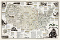
2013ref. 1-1597755451Natl Geographic Maps 2013. Paperback. New. lam map edition. 1 pages. 25.00x1.50x1.30 inches. Natl Geographic Maps paperback
1988No inscriptions or marks. A lovely clean crisp very tight copy with bright unmarked boards and no bumping to corners. Dust jacket not price clipped or torn with faint creasing to some edges. 119pp. This fully revised fifth edition details all operational railways - British Rail, London Transport, Tyne & Wear Metro, Irish rail, Northern Ireland Railways and the numerous independant preserved/tourist railways and tramways, standard gauge and narrow gauge.
1902ref. 19858Neuchâtel, Imprimerie Paul Attinger, 1902. Petit in-4 de.256 pages, demi-percaline rouge, dos (frotté) lisse, premier plat de couverture illustrée en couleurs conservée.
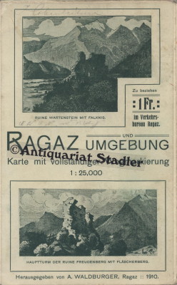
1910ref. 6414Ragaz 1910. Karte mit vollst. Wegmarkierung. 1:25 000. Landkarte 55x59 cm, Faltmaß 19x12 cm. [2 Warenabbildungen]
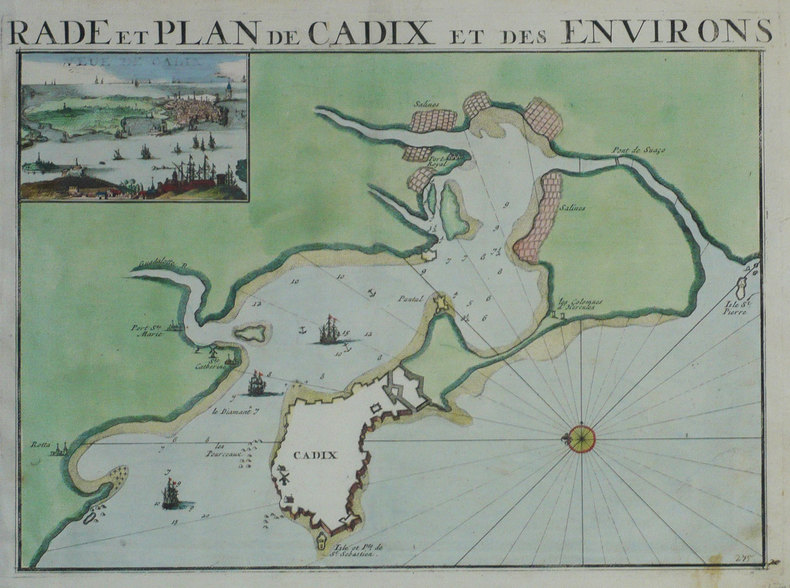
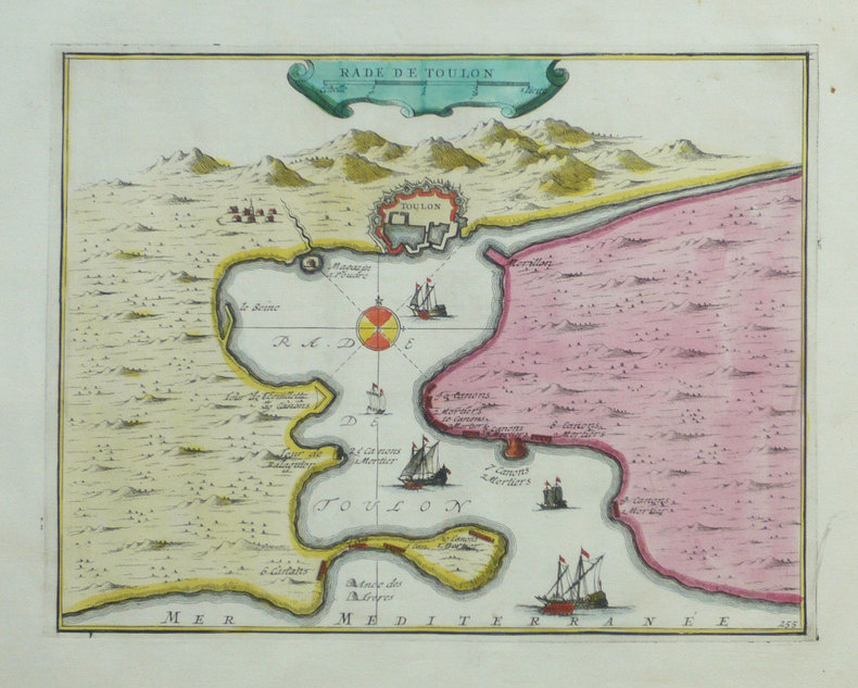
1702ref. LBW-1289Amsterdam P. Mortier 1702 260 x 355 mm.
1702ref. LBW-1318Amsterdam Pierre Mortier 1702 207 x 267 mm.
1969Large format staple bound 63 page book with light wear to covers with two small tears at bottom. Binding is solid and square, text/interior is clean and free of marking of any kind. Contents include: The causes of disorders, Importance of attitudes, Ghettoization, Economic deprivation, Social chaos, The inadequate response & sections on White bias, Police conduct, Mass arrest procedure etc. Maps for the "Negro population Washington state" "Negro population Spokane" " Proportion of population classified as negro Seattle, 1960, " occasional photos. Stat tables, charts;
ref. SLIVCN-3770007879318KEROZENN
1764(København, 1764). Kobberstukket prospekt af rådhuset med omgivende ejsendomme. (17x24,5 cm.). Stukket af J. Haas. På skrivepapir. Et par svage brunpletter i marginer og et lille revne nederst i foldningen, uden tab.
1764(København, 1764). Kobberstukket prospekt af Gammel Torv med springvandet og husene. Folk på torvet. (17x25,3 cm.).
1764ref. 34601(København, 1764). Kobberstukket prospekt af Gammel Torv med springvandet og husene. Folk på torvet. (17x25,3 cm.).
1764ref. 53299(København, 1764). Kobberstukket prospekt af rådhuset med omgivende ejsendomme. (17x24,5 cm.). Stukket af J. Haas. På skrivepapir. Et par svage brunpletter i marginer og et lille revne nederst i foldningen, uden tab.
1933Broch?. 70 pages. Couverture en mauvais ?tat. Importantes rousseurs.
Second series. One folded map, 3 miles to 1 inch. Including town maps, of Leicester, Coventry, Nottingham, Birmingham, Oxford. Also, primary routes and motorways, motorway junction numbers, other routes and place of interest. Near VG condition. 23549. eng
ref. SLIVCN-3760024990158MINUS EDITIONS
ref. SLIVCN-3760024990141MINUS EDITIONS
2014ref. 500034956Ouest-France 2014 200 pages 10 8x2 2x17 6cm. 2014. Broché. 200 pages.
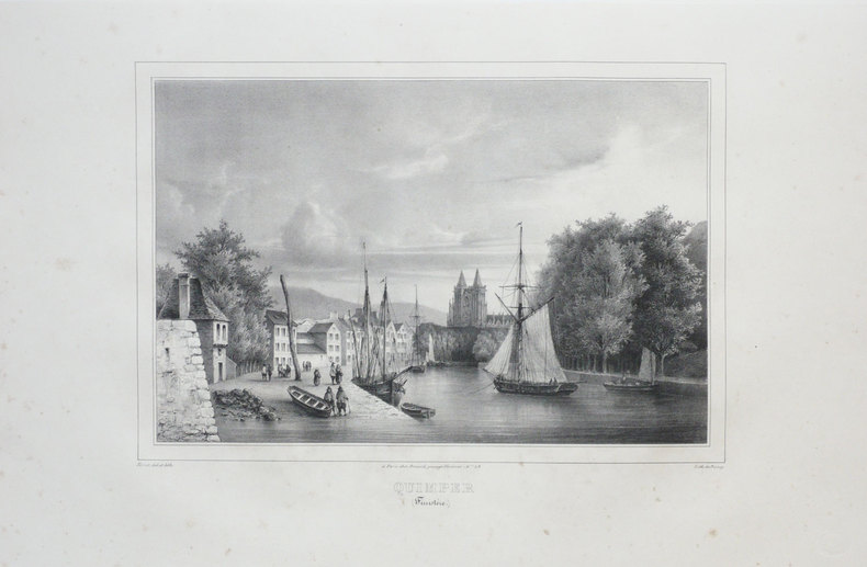
ref. LBW03d69Paris, Benard, [circa 1850]. 225 x 297 mm.
2004ref. SBBI-SBL-022280Hema Maps Pty.Ltd 2004. Good. Our good condition books are generally good for reading but not for gifting or collecting. They could have imperfections such as creasing fanning inscriptions margin notes yellowing staining on edge or cover or pages bumps scuffs etc etc sometimes multiple of these. It's a wide category that encompasses anything that isn't almost-new down to anything that is slightly better than poor. We would NOT recommend gifting Good books - these should be considered reading copies. Our books are dispatched from a Yorkshire former cotton mill. We list via barcode/ISBN so please note that the images are stock images and may not be the exact copy you receive furthermore the details about edition and year might not be accurate as many publishers reuse the same ISBN for multiple editions and as we simply scan a barcode or enter an ISBN we do not check the validity of the edition data when listing. If you're looking for an exact edition please don't order at least not without checking with us first although we don't always have time to check. We aim to dispatch prompty the service used will depend on order value and book size. We can ship to most countries see our shipping policies. Payment is via Abe only. Hema Maps Pty.Ltd unknown
1784ref. 174895London.: Alexander Hogg at the King's Arms. circa1784. Engraved map on laid paper 21.4 x 33.7 cm inset of Gower's Simson's and Carteret's Island early outline hand colour trimmed to the plate mark at the top edge three small edge tears affecting the upper margin only slight paper toning but a most attractive map in very good condition. Fine impression of the Queen Charlotte's Islands Solomon Islands. It features the Swallow's track the ship's route taken by Captain Philip Carteret in 1767 the British naval officer and explorer who participated in two of the Royal Navy's circumnavigation expeditions in 1764–66 and 1766–69. . Alexander Hogg at the King's Arms. unknown
2005ref. 3872005 - broché - Editions du Temps - Collection Histoire ancienne - 2005 - In-8 (24 x 16 cm) broché - 345 pages + quelques cartes in fine - ISBN : 9782842743260 - Ouvrage collectif coordonné par Bernadette CABOURET