MEHMET SEVKI PASA, (1866-1927).MareMagnum
MERIAN (Matthäus).Livre Rare Book
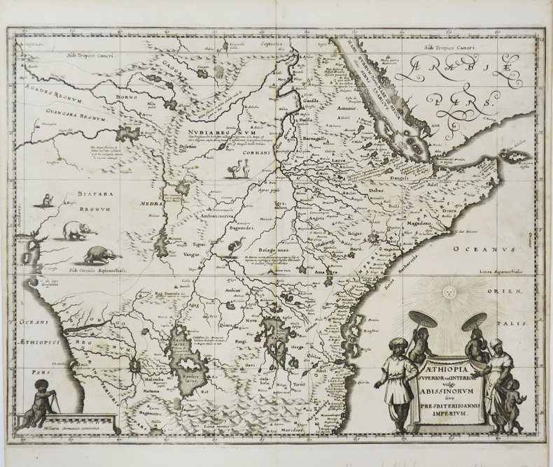
Æthiopia superior vel interior vulgo Abissinorum sive Presbiteri Joannis imperium.
1649ref. LBW-3605[1649]. 287 x 373 mm.
Librairie Le Bail · Paris, Francia300,00 €
12.162 resultados
2009New English Paperback. Folio. (42 x 30 cm). In English and Turkish. [96] p., color maps. Çanakkale tahkimat haritasi. [= Fortifications maps of Gallipoli War]. Edited by Ahmet Tetik, Ayse Seven.
1649ref. LBW-3605[1649]. 287 x 373 mm.
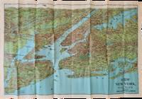
1928ref. List2973George J. Nostrand; Winkoop Hallenbeck Crawford Co 1928. Map measuring 20 x 29 inches; trifold measuring 8 ½ x 12 inches. Map folded with some small tears at folds slightly wrinkled pencil markings verso; very attractive. Overall excellent. Offered here is a large attractive bird’s-eye view map of New York City and the surrounding areas by George J. Nostrand a New York City-based lithographer and cartographer; and a small pamphlet advertising sightseeing tours by car or yacht with “lecturers accompanying each trip explaining all points of interest”. The map highlights the most car-friendly routes around the city and New Jersey as far west as Mountain View and is beautifully illustrated with buildings landmarks and ships in the harbor. It was likely produced between 1927 and 1929 given certain details for instance the George Washington Bridge is labeled only as “proposed”; we find two copies of the 1928 printing and four of the 1929 printing on OCLC. George J. Nostrand; Winkoop Hallenbeck Crawford Co unknown
Madrid, 1848. Un mapa de 84 x 111 cm., plegado a 21 x 14 cm., coloreado, con planos particulares de Vitoria; Contornos de Amurrio; Contornos de Vitoria; Orduña; Laguardia; Contornos de Salvatierra. Encuadernación original en cartoné y media tela.
2006ref. 500091437Pemf 2006 20x0 8x25 4cm. 2006. Album.
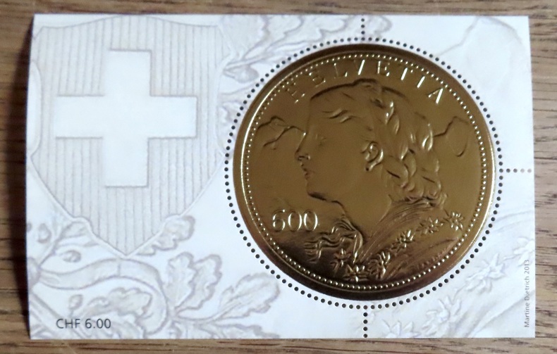
2014ref. 20822Poste Suisse, 2014. Timbre circulaire (5,6 cm.), feuille au format 10,7 7 cm. Valeur faciale 6.-
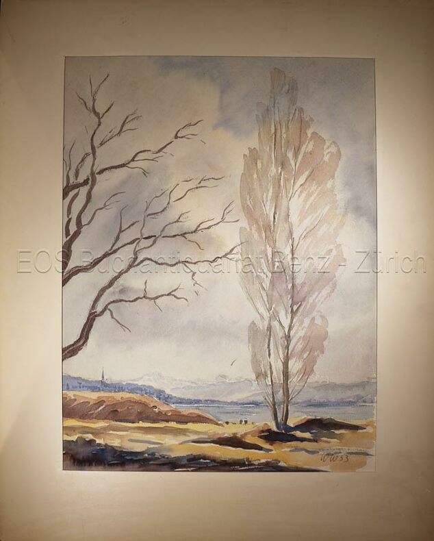
1953ref. 634DG1953. Aquarell auf festem Papier. Blattgrösse: 36 x 30 cm. + Wichtig: Für unsere Kunden in der EU erfolgt der Versand alle 14 Tage verzollt ab Deutschland / Postbank-Konto in Deutschland vorhanden +, bild
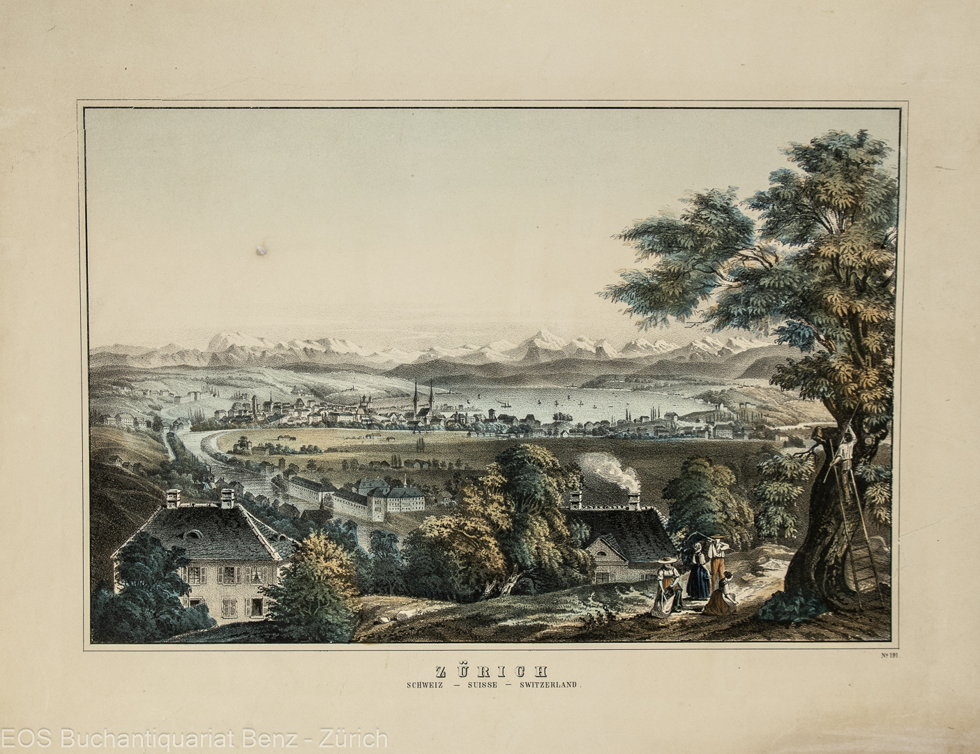
1840ref. 598DG(um 1840). Kol. Lithografie. Bildgrösse: 20,2 x 30,7 cm. Blattgrösse: 28,5 x 38 cm. + Wichtig: Für unsere Kunden in der EU erfolgt der Versand alle 14 Tage verzollt ab Deutschland / Postbank-Konto in Deutschland vorhanden +, bild
1840ref. 598DG(um 1840). Kol. Lithographie. Bildgrösse: 20,2 x 30,7 cm. Blattgrösse: 28,5 x 38 cm.
1953ref. 634DG1953. Aquarell auf festem Papier. Blattgrösse: 36 x 30 cm.
1920ref. 6842ASt. Andreasberg, Körperkultur-Verlag, o. J. [Um 1920]. 9 x 13,5 cm.
Madrid, Dirección General del Instituto Geográfico y Catastral, 1951. 2ª edición. Mapa publicado por sectores (sector 118). Escala 1:50.000. 56x76 cms. Mapa entelado y plegado. Buen ejemplar.
ref. 57191aafWinterthur, J. Wurster, 1866, in-8vo, VII + 1 S. (Inhaltsverz.) + 59 S. + 1 S. (Errata), Stempel auf Titelbl. S.A.C. Basel, ausgebunden, ohne Umschlag.
Format: 18 x 29,5 cm. *Leicht gebräunt, insgesamt gut erhalten. Landkarten de
1986158pp. 25 cm. Hardcover Very good condition good
1939Feuille 53x68 cm.
ref. Q-1566952972National Geographic Maps 2019-01-01. Map. New. In shrink wrap. Looks like an interesting title! National Geographic Maps unknown
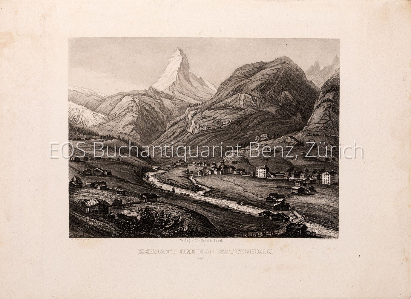
1840ref. 1747AGBasel., Chr. Krüsi, ca. 1840. Kupferaquatinta von R.Huber. Blattformat: 23 x 32 cm. + Wichtig: Für unsere Kunden in der EU erfolgt der Versand alle 14 Tage verzollt ab Deutschland / Postbank-Konto in Deutschland vorhanden +, A
1840ref. 1747AGBasel. Chr. Krüsi ca. 1840. Kupferaquatinta von R.Huber. Blattformat: 23 x 32 cm.
ref. CSP-19001981, Rotten Verlag, in 8 carré broché, 86 pages. Reproductions de cartes postales anciennes (1900-1910). Belle couverture illustrée avec copie d'un timbre de 5 centimes. Texte en allemand, français, anglais. 1 carte postale par page, voir photo.
ref. 44012 clichés en N&B, texte en Luxembourgeois : Arrivée de Zeppelin à Echterdingen - Ballon de Zeppelin 1 minute après l'explosion à Echterdingen | Etat : Etat moyen (Ref.: JCP18)
1984ref. 2082702114602529Fixed 4800 Yen Nippon Geijutsu Publishing Co. Ltd. 1984. Soft Cover. Fine. Number of books: 1 Fixed 4800 Yen Nippon Geijutsu Publishing Co., Ltd. paperback
Madrid, 1863. Un mapa de 84 x 111 cm., plegado a 21 x 14 cm., coloreado, con planos particulares de Zamora; Puebla de Sanabria; Contornos de Benavente; Toro; Contornos de Zamora. Encuadernación original en cartoné y media tela.
1944ref. 63900Washington D.C. & New York NY: Navy distribution by Educational Services Section; Prepared and distributed by Army Information Branch Army Service Forces 1944. Oblong double atlas folio. 47 x 34.5 in. One large double-sided colour lithograph map and panoramic cutaway view minor dustsoiling light age toning very minor creasing at folds still a NF copy. First edition of this splendid educational panorama with cutaway view of a World War II Balao-class submarine conning tower lines have been altered to prevent enemy identification when surfacing which improved upon the Gato class with higher yield-strength steel pressure hull skins and increased depth to 400 feet. The four inset maps on verso track the campaigns in the Philippine Islands with maps for Manila Bay and Cebu Leyte & Samar separately as well as maps tracking the Western Front progress in 1944 just 4 months after D-Day. Navy distribution by Educational Services Section; Prepared and distributed by Army Information Branch, Army Service Forces, unknown
1974Covers lightly creased, rear cover yellowed, (Your Guide Map Series ; 2). eng