[Wien-Plan v. 1547].MareMagnum

12.632 resultados
1858Farblithographie in 9 Blättern nach der kolorierten Originalfederzeichnung im Historischen Museum der Stadt Wien, bezeichnet “Alb: Camesina fe: 1856”. Auf Leinen als Wandkarte aufgezogen. 188:228 cm. Der von Albert Camesina (1806-1881) lithographierte und in kleiner Auflage gedruckte Plan erschien über zwei Jahre in einzelnen Lieferungen, was - neben dem übergroßen Format der Wandkarte und der verhältnismäßig kleinen Auflage - einen der Hauptgründe für seine Seltenheit darstellt. Der Wienplan des Mitarbeiters Augustin Hirschvogels Bonifaz Wolmut “stellte eine Kombination von ausgeführten und projektierten Festungsanlagen zur Diskussion. Darüber hinaus ergeben die detaillierte Wiedergabe des Grundrisses der Innenstadt [...] und die in freier Perspektive festgehaltenen Vorstadtränder eine grundlegende Dokumentation Wiens (Wien im Mittelalter, Kat. des Historischen Museums der Stadt Wien, 1975/6, Nr. 364). - Nur zwei der neun Segmente unbedeutend fleckig, am rechten unteren Rand etwas bestoßen, im Ganzen aber von sehr ansprechender Erhaltung. Fischler, Historischer Atlas des Wiener Stadtbildes, 12f. Oppl, Wien im Bild historischer Karten, Tafel 5.
1858Farblithographie in 9 Blättern nach der kolorierten Originalfederzeichnung im Historischen Museum der Stadt Wien, bezeichnet "Alb: Camesina fe: 1856". Einzeln unter Passepartouts montiert. Jeweils 700:850 mm. Der von Albert Camesina (1806-1881) lithographierte und in kleiner Auflage gedruckte Plan erschien über zwei Jahre in einzelnen Lieferungen, was - neben dem übergroßen Format und der verhältnismäßig kleinen Auflage - einen der Hauptgründe für seine Seltenheit darstellt. Der Wienplan des Mitarbeiters Augustin Hirschvogels Bonifaz Wolmut “stellte eine Kombination von ausgeführten und projektierten Festungsanlagen zur Diskussion. Darüber hinaus ergeben die detaillierte Wiedergabe des Grundrisses der Innenstadt [...] und die in freier Perspektive festgehaltenen Vorstadtränder eine grundlegende Dokumentation Wiens (Wien im Mittelalter, Kat. des Historischen Museums der Stadt Wien, 1975/6, Nr. 364). - Tadelloses u. fleckenfreies, in den originalen Einzelsegmenten erhaltenes Exemplar. Fischler, Historischer Atlas des Wiener Stadtbildes, 12f. Oppl, Wien im Bild historischer Karten, Tafel 5.
ref. CZC-9029Bon lot de cartes de France avec descriptifs des départements associés à l'origine de leurs noms, des départements et Chefs Lieux, Évêchés, des parlements, des intendances, des anciennes Provinces de Franc, des villes principales de France, des sièges épiscopaux, etc.. format 26x20cm en bon état. Comprend 11 cartes et 4 notices Paris & Versailles, 1786 ref/11
ref. CZC-9029Bon lot de cartes de France avec descriptifs des départements associés à l'origine de leurs noms, des départements et Chefs Lieux, Évêchés, des parlements, des intendances, des anciennes Provinces de Franc, des villes principales de France, des sièges épiscopaux, etc.. format 26x20cm en bon état. Comprend 11 cartes et 4 notices Paris & Versailles, 1786 ref/11
2000ref. 8567Tribune de Genève, 2000. Carte de voeux du quotidien, pliante, illustrée par Herrmann.
ref. SLIVCN-3760024991957MINUS EDITIONS
ref. SLIVCN-3760361290850KEROZENN
1825ref. LBW-5838[Paris, 1825-1827]. 150 x 140 mm.
1780ref. LBW-4171[circa 1780]. 300 x 450 mm, sur papier calque.
1972No marks or inscriptions. Slight creasing to covers adjacent to spine. A very clean very tight booklet with bright unmarked boards and no bumping to corners. 32pp.
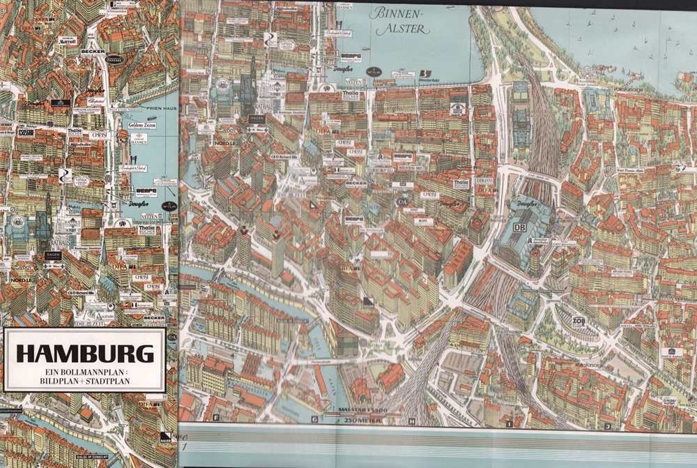
2001ref. 84985(Braunschweig, Bollmann-Bildkarten-Vlg. 2001). Farbiger mehrf. gefalt. "Bildstadtplan" mit perspektivisch eingezeichneten Gebäuden (Maßstab 1:5.500). Verso Straßenplan (Maßstab 1:29.000). Mit 69 vorgehefteten S. (Anzeigen u. Straßenverzeichnis). Blattmaß 50 x 64 cm. Deckel 28 x 11,5 cm. Farb. OKart.
1992ref. 17806(Braunschweig, Bollmann-Bildkarten-Vlg. 1992). Farbiger mehrf. gefalt. "Bildstadtplan" mit perspektivisch eingezeichneten Gebäuden. Maßstab 1:5.500. Verso Straßenplan (Maßstab 1:29.000). Mit 47 vorgehefteten S. (Anzeigen u. Straßenverzeichnis). Blattmaß 55 x 68 cm. Deckel 28 x 11,5 cm. Farb. OKart.
ref. SLIVCN-3770007879394KEROZENN
2020ref. SBBIH-A4MLCU43E2V3Independently published 2020. paperback. Very Good. Most of our very good books have only minor imperfections such as shelf wear consistent with a new book that's sat on a bookshop shelf for a year or two. Occasionally we may miss other minor imperfections as we have to grade books at speed. Our books are dispatched from a Yorkshire former cotton mill. We list via barcode/ISBN so please note that the images are stock images and may not be the exact copy you receive furthermore the details about edition and year might not be accurate as many publishers reuse the same ISBN for multiple editions and as we simply scan a barcode or enter an ISBN we do not check the validity of the edition data when listing. If you're looking for an exact edition please don't order at least not without checking with us first although we don't always have time to check. We aim to dispatch prompty the service used will depend on order value and book size. We can ship to most countries see our shipping policies. Payment is via Abe only. Independently published paperback
ref. SONG1421450968Johns Hopkins University Press 2025-04-15. hardcover. Used: Good. 6.00x1.19x9.00. Buy with confidence. Excellent Customer Service & Return policy. Johns Hopkins University Press hardcover
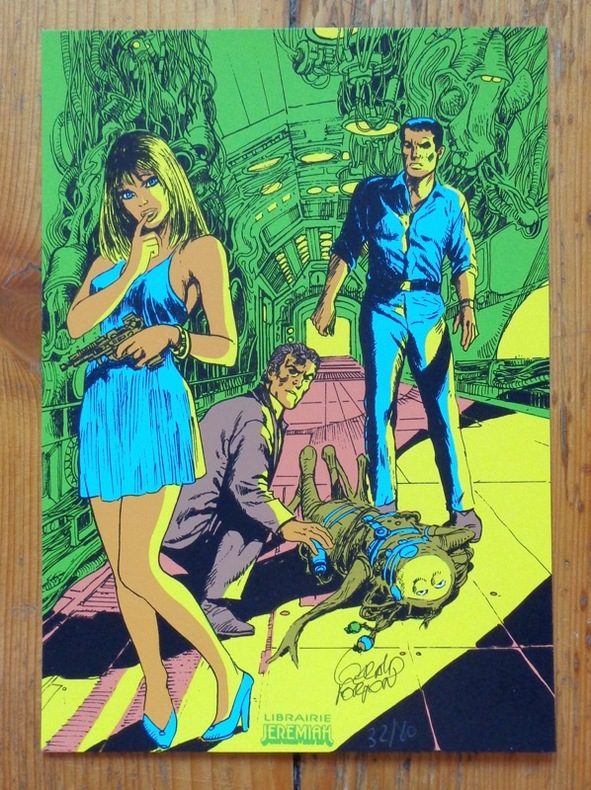
ref. 5417Genève, Librairie Jérémiah. Petite sérigraphie au format 15 x 22 cm., à l'état de neuf.
2001ref. 20167Editions Calliope 2001 / L'Âge d'Or. Magnifique lot des 9 cartes postales composant la série complète consacrée à Henri Vernes et à Bob Morane. Format 10 x 15 cm. Contient les reproductions des livres suivants : La Porte Ouverte ( C.H.Dewisme ) - La Véritable Histoire de Will Williamson ( Cal.W.Bogar ) - La Belle Nuit pour un Homme Mort ( C.H.Dewisme ) - Brandy Street ( Gaston Bogart ) - A la recherche du Monde Perdu ( Ray Stevens ) - Les Zombis ou le Secret des Morts-Vivants ( C.H.Dewisme ) - 3 Aventures de Bob Morane ( Henri Vernes ) - La Main Noire ( Henri Vernes ) - Bob Morane et Bill Ballantine ( William Vance ). Neuf. On joint 6 marque-pages édités par l'Âge d'Or, illustrés par Frank Leclercq et une carte de de voeux perpétuelle des Editions L'Âge d'Or, illustrée par René Follet au format 16,5 x 10,5 cm. Tous les objets sont en état superbe.
ref. SLIVCN-3760361290300KEROZENN
ref. LBW03d72Paris Benard circa 1850 226 x 291 mm.
2000ref. 24426Saint-Gall, Bischoff AG, 2000. Bloc de 4 timbres, autocollant, valeur faciale de 20 francs suisses, au format de 15,5 x 13,5 cm. En étoffe Satin tissé brillant 100 % polyester, fil à broder fin 100 % polyester, autocollant.
2001ref. 24692PTT, 2001. 2 blocs de timbres poste (poste suisse), valeur faciale 70 centimes, valeur totale 2,80 francs suisses.
1896ref. 59118Chicago: J. Blegen 1896. 12mo. 69 1 pp. With 1 large folding double-sided map “The World” on recto “United States” on verso with illustrated ads for steamship lines and Milwaukie road on recto above World map edgewear rubbing at crease folds some creasing at fore-edges couple very minor closed tears at folds. Quarter-brown cloth over beige boards decorative blue border blue lettering minor soiling edgewear still VG copy. First edition of this very scarce travel guide and pocket map issued by Blegen 1842-1927 a Norwegian-American steamship travel agent from the 1890’s into the 20th Century. His concise guidebook offered railway fares from Chicago Ocean steamship rates from New York Montreal New Orleans and San Francisco along with postage rates death mortality statistics for major American cities Brownsville TX sported 45 per 1000 while Salt Lake was 8 per 1000 coin equivalents and even a guide to sanatoriums and health spas in Europe. No physical printed copies located in Worldcat only digital or print-on-demand copies. J. Blegen, hardcover
1985(iv), 164 pages. Bibliography. Tables. Many black and white reproductions of archival black and white photos. Two fold-out maps. Author discovered the remains of Blakeburn while on vacation and, after finding a dearth of relevant history, decided to write a history of the town, located northwest of Princeton, B.C. First fold-out map shows the major buildings in Blakeburn and the underground workings of her three major mines in 1935. Second map shows No. 4 mine after the August 13, 1930 explosion. (Hale & Barman 84) Book
1886No marks or inscriptions to contents. No creasing to covers or to spine. A very clean very tight copy with gilt embossed dark green cloth boards, dusty page edges, extremely faint damp effect to edge of front and very tiny bump to lower front corner. Fold-out map of Jersey opposite title page in very good condition. Internal map of Guernsey foxed and with damp effect from edge. 115 pages of adverts plus 190pp. A guide to Jersey, Guernsey, Alderney, Sark and adjacent islets. Map of Channel Islands on front end papers. .
1996In this study of the fateful encounters between Europe and Asia on the shores of a legendary sea, Neal Ascherson explores the disputed meaning of community, nationhood, history, and culture in a region famous for its dramatic conflicts. What makes the Back Sea cultures distinctive...is the way their component parts came together over the millennia to shape unique communities, languages, religions, and trade. 306. map. bibliography, index. Book