DEPOT-GENERAL DE LA MARINE.Livre Rare Book
12.067 resultados
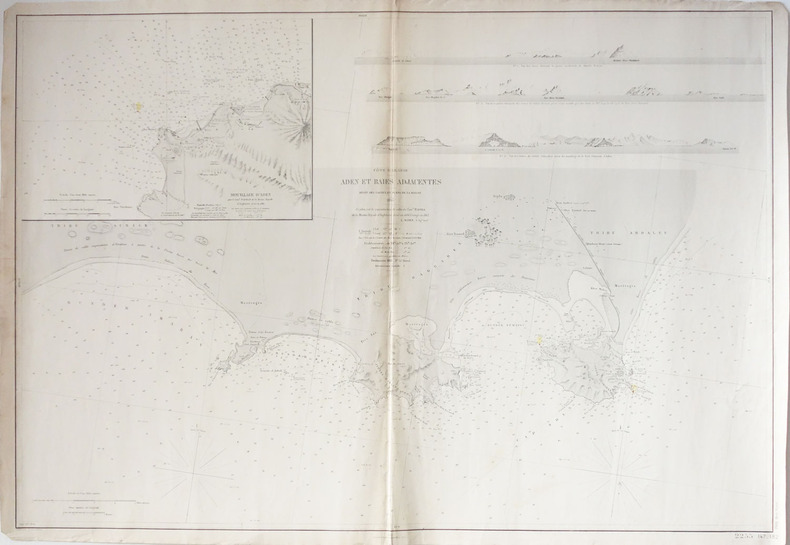
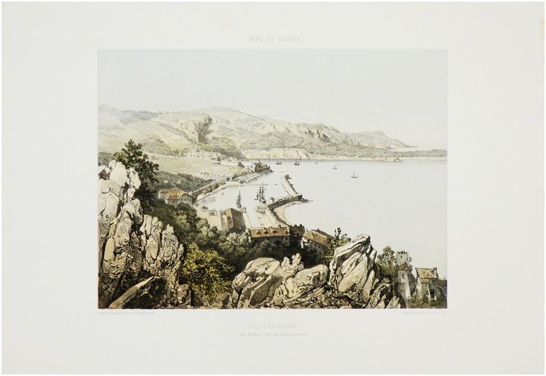
1843ref. LBW-2412Paris, 1843. 427 x 577 mm.
1872ref. LBW-2421Paris, 1872. 611 x 892 mm.
1918This copy bearing the ink stamp of F.R. Swanton of Davis Point, Manitoba. Frederick Swanton served in the 200th (Winnipeg) Battalion, Canadian Expeditionary Force (CEF) during WWI. Illustrated red card covers measure 8.25" x 5.5". Map folds out to 40" by 31". Undated but appears to be circa 1918. Issued as a supplement to Montreal publications The Family Herald and Weekly Star by permission G.W. Bacon & Co. Ltd., 127 Strand, London. Detailed black and white map of Europe presents the setting of World War I, presumably as a reference for Canadians following the progress of the war. Average wear. Several unobtrusive clear tape repairs. A sound vintage copy of this Canadian WWI memento with special noted provenance. Book
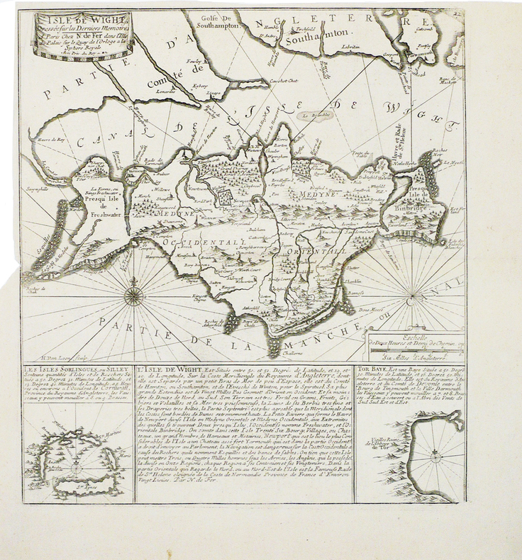
ref. LBW-1813[vers 1705]. 352 x 317 mm.
1884Very Good French Original map. Oblong Double Elephant Folio. (96x156 cm). In French. Scale: 1/1.500.000. With explanation of geographical terms in Greek, Turkish, Arabic and Persian; With overview sheet: Aperçu general de la division administrative des provinces asiatiques de l'Empire Ottoman. (Jaar: 2011 - Europeana Collections). French edition of Kiepert's huge map of the Imperial Ottoman territories. "Includes list of geographic terms in eastern languages and notes on administrative divisions. Includes notes on materials the cartographer used to put together the map". (See LC copy). Kiepert, (1818-1899), was born in Berlin. He traveled frequently as a youth with his family and documented his travels by drawing. His family was friends with Leopold von Ranke, who inspired Kiepert's creative endeavors. Kiepert was taught by August Meineke in school. Meineke influenced Kiepert's interest in classical antiquity. He attended Humboldt University of Berlin. He studied history, philology, and geography. He published his first geographical work, with Carl Ritter, in 1840, titled Atlas von Hellas und den hellenischen Kolonien. The atlas focused on ancient Greece. In 1848 his Historisch-geographischer Atlas der alten Welt was published. In 1854, his atlas, Atlas antiquus was released. It was translated into five languages. Neuer Handatlas über alle Teile der Erde was first published in 1855. In 1877 his Lehrbuch der alten Geographie was published, and in 1879 Leitfaden der alten Geographie, which was translated into English (A Manual of Ancient Geography, 1881) and into French. In 1894 he created the first part of a larger atlas of the ancient world titled Formae orbis antiqui. He traveled to Asia Minor four times between 1841 and 1848. He created two maps of the region, including Karte des osmanischen Reiches in Asien, in 1844. Kiepert taught geography at the University of Humboldt-Berlin starting in 1854. He taught at the university until his death. Akyol, article 536.; Dagtekin p. 22 (With detailed bibliography on Kiepert's maps). Rare. Preserved in a frame, will be sent without its frame. A wall map.
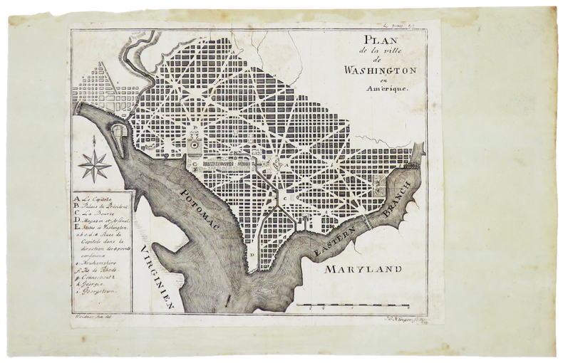
1794ref. LBW-4981[Gotha], 1794. 158 x 197 mm.
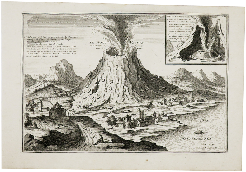
1703ref. LBW-61151703. 227 x 336 mm + feuillet de texte descriptif.
1704ref. LBW03598Amsterdam Pierre Mortier 1704-1705 403 x 558 mm.
1860ref. LBW-8411Paris, Bouasse-Lebel, [circa 1860]. 500 x 655 mm.
1874ref. LBW-8923[Paris, Monrocq], 1874. En 24 sections montées sur toile et repliées, formant une carte de 615 x 967 mm, montée dans une reliure de chagrin noir de l'époque avec étiquette renseignée du titre.
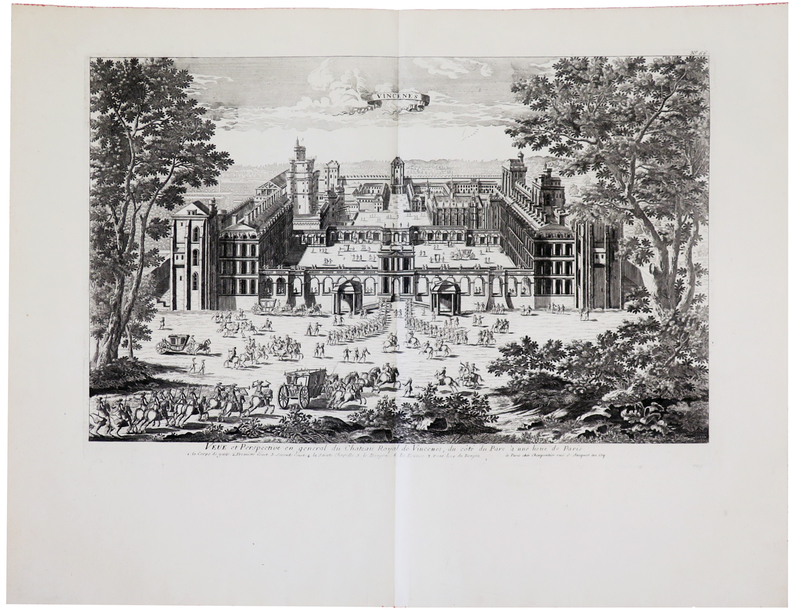
1740ref. LBW-5738Paris, [circa 1740]. 333 x 516 mm.
1764ref. LBW-23931764. 189 x 298 mm.
1863ref. LBW-7543Nantes, Charpentier, [1863]. 270 x 315 mm.
1643ref. LBW03574Amsterdam 1643-1650 376 x 481 mm.
1756ref. LBW-7377[Paris, 1756-1789]. En 12 sections montées sur toile et pliées, formant une carte de 598 x 484 mm ; étiquette au dos de l'éditeur Charles Picquet, onglet de vélin renseigné du numéro de la feuille.
1779ref. LBW-8418[Paris, 1779]. En 21 sections montées sur toile et repliées, formant une carte de 600 x 930 mm ; étiquette de l'éditeur parisien Vignon contrecollée au bas de la carte ; étiquette au dos portant le titre manuscrit au stylo bille ; onglet de vélin renseigné du titre et du numéro de la feuille.
1760ref. LBW-622Paris, Charpentier, [circa 1760]. 333 x 511 mm.
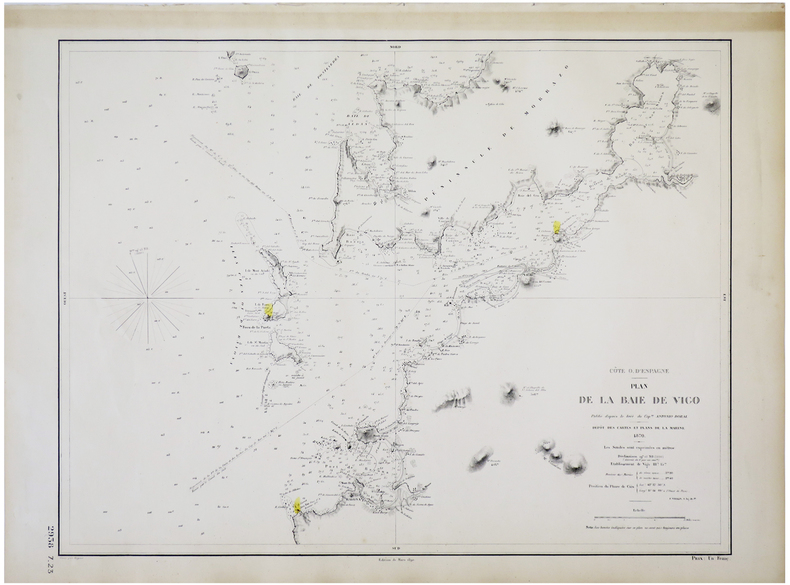
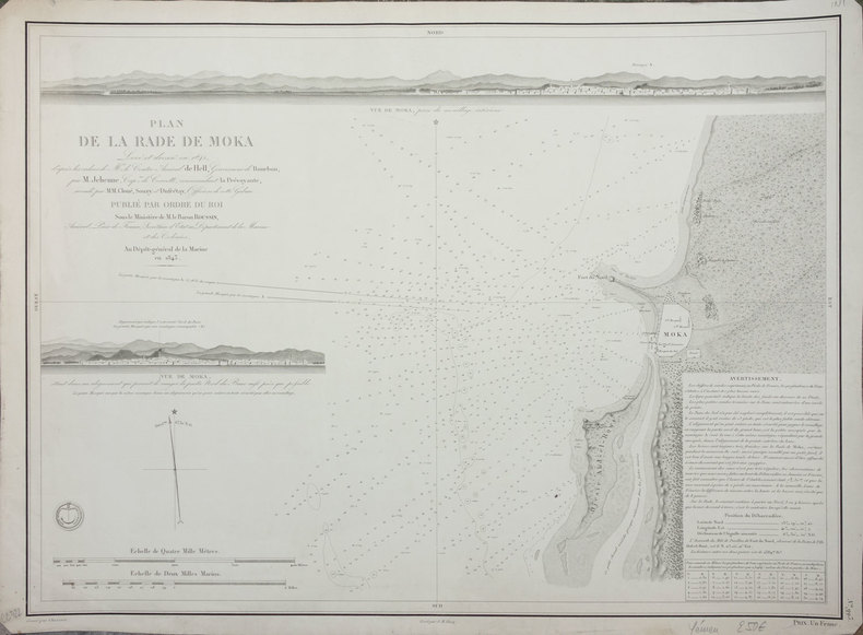
1870ref. LBW-5711Dépôt des Cartes et Plans de la Marine, 1870-1890. 474 x 609 mm.
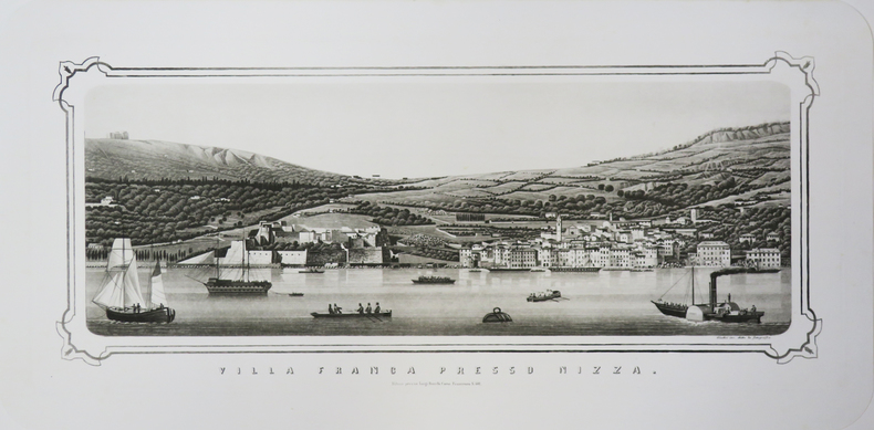
1850ref. LBW-3464Milano, Luigi Ronchi, [circa 1850]. 235 x 550 mm.
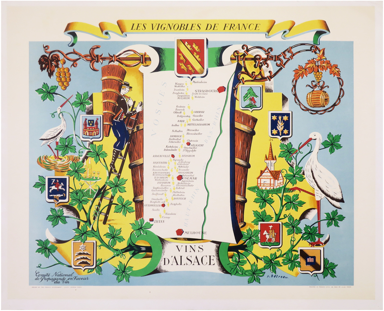
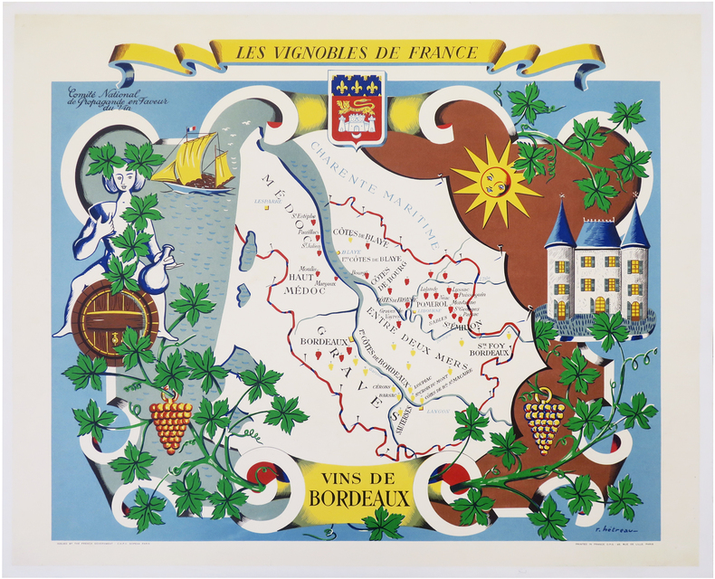
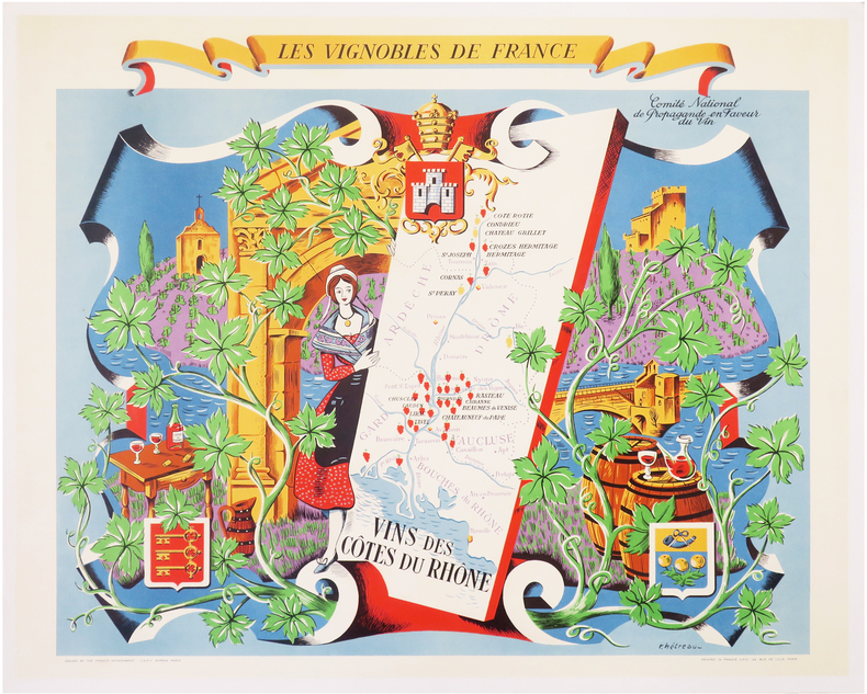
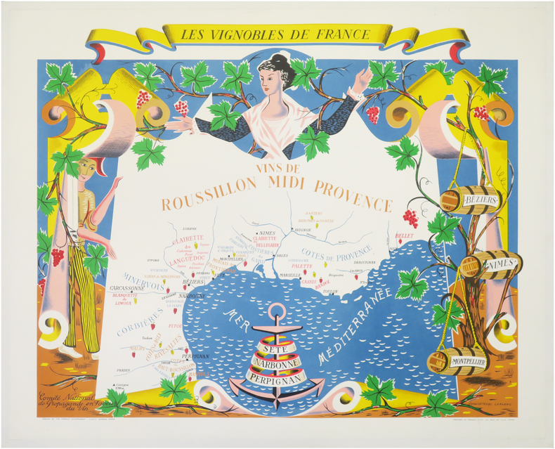
1954ref. LBW-6866Paris, C.N.P.V. Sopexa, [1954]. 630 x 758 mm, montée sur toile.
1954ref. LBW-8112Paris, C.N.P.V. Sopexa, 1954. 624 x 750 mm, montée sur toile.
1954ref. LBW-8115Paris, C.N.P.V. Sopexa, 1954. 620 x 754 mm, montée sur toile.
1954ref. LBW-8125Paris, C.N.P.V. Sopexa, 1954. 630 x 753 mm, montée sur toile.
1954ref. LBW-8126Paris, C.N.P.V. Sopexa, 1954. 635 x 765 mm, montée sur toile.
1954ref. LBW-8295Paris, C.N.P.V. Sopexa, [1954]. 620 x 750 mm.