SANSON d'ABBEVILLE (Nicolas) & COVENS et MORTIER.Livre Rare Book
12.070 resultados
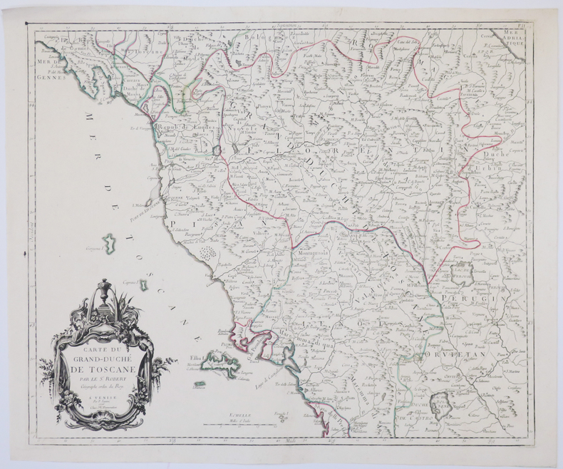
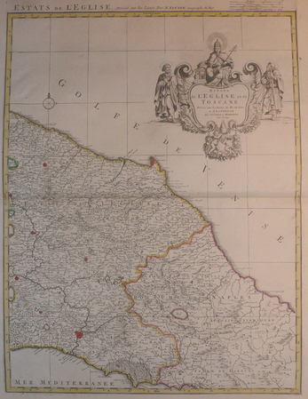
ref. LBW04176Amsterdam, Covens et Mortier, [circa 1710]. 580 x 445 mm.
1776ref. LBW-4927Venise, M. Remondini, 1776. 470 x 564 mm.
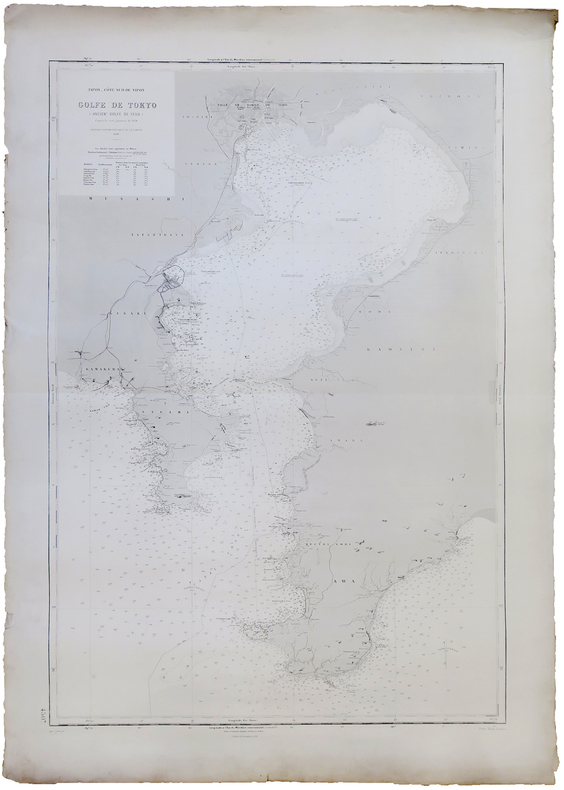
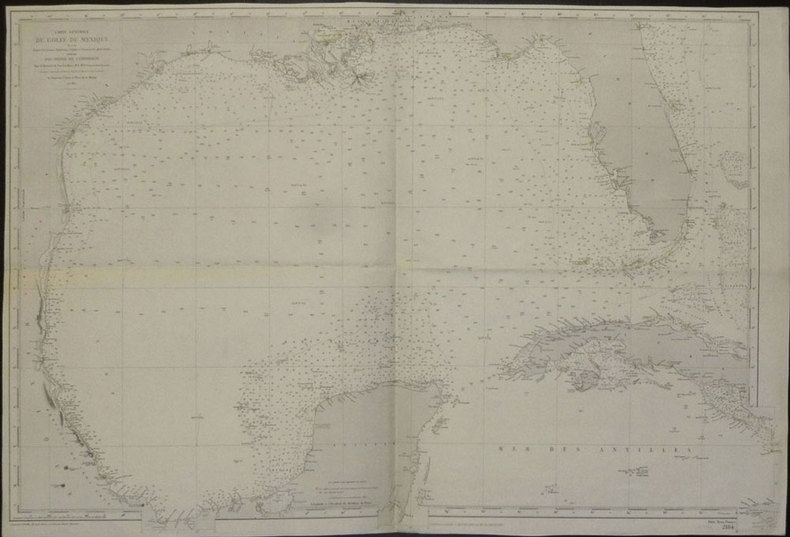
1891ref. LBW-5908Service Hydrographique de la Marine, 1891-1914. 940 x 629 mm.
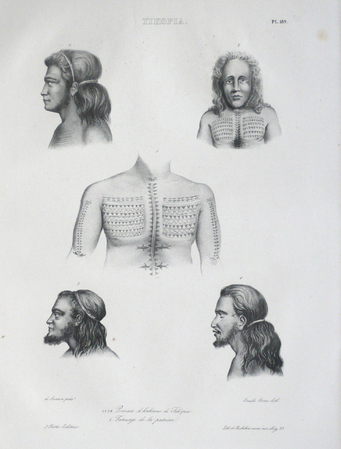
1833ref. LBW061a5[Paris, 1833]. 383 x 230 mm.
Folio (ca. 410 x 570 to 570 x 820 mm). 22 folded original military maps, 8 of which in colour (scales 1:20,000 - 1:420,000). - Includes 56 ff. of Ottoman Turkish manuscript notes on military history, loosely stored. A rare and substantial set of military maps of the Balkan Wars, issued as rear-pocket matter to accompany the three-volume work "1328-29 Balkan Harbi, Trakya Seferi" (1924-28) by the topographer and military historian Nihat Bey. Never seen at auction; merely three copies could be traced in libraries worldwide (Istanbul, Princeton, and Washington). The maps show the Ottoman military campaigns on the Balkan peninsula against Bulgaria, Serbia, Greece, and Montenegro in 1912 and 1913, wars which resulted in the Ottoman Empire losing the bulk of its European territory. - Nihad Bey (1886-1928) of Bursa held the rank of Lieutenant Colonel but is remembered as a scholar rather than a soldier. The first and foremost military historian of the Turkish Republic, he published no fewer than 39 books in which he meticulously evaluated operational mistakes and emphasized lessons to be learned from past wars. - Includes a set of manuscript notes in pencil, presumably taken by one of Nihat Bey's students at the military academy in the course of lectures on early 20th century Ottoman military history. Bey probably incorporated the maps in his lectures, as is suggested by marks and notes found on several map sheets, mostly in blue or red crayon, corresponding to the colours and patterns used in printing eight of the maps. - Small tears and holes to several maps, mostly along the folds. The manuscript notes show traces of stapling. An unusual and important specimen of Turkish military history.
1875Very Good French Contemporary 1/4 leather bdg. with marbled boards. Small 4to. (27 x 19 cm). 23 p. (11 p. in Ottoman script (Old Turkish with Arabic letters; 12 p. in French), with rare 4 folded maps. A very good copy. First and only edition of this extremely rare bilingual book in French and Ottoman Turkish, including the first records on the formation and characteristics of storms to explain how storms and hurricanes occurred, which route they followed, and how they were conveyed to the regions that need to be warned by telegraph, for the vessels sailing in the seas, by French expert Coumbary who was founded the Rasathâne-i Âmîre [i.e. Ottoman Imperial Observatory]. Both the original French and Turkish translations of the work were published together in one volume. The work also included four maps which were drawn for this work only. The first map shows the movement of a storm that occurred on March 8, 1865, the second one shows the occurrence between the Tropic Cancer and Capricorn whirlwinds, storms in the Atlas and Indian oceans, the movements in the Bay of Bengal, the storms in different directions in the China Sea, the Gulfstream, Grönland, and Azores. The second observatory in the Ottoman era was established for meteorology. Before this center was established, beginning from the Reformation (1839), many meteorological observatories were built by foreigners in various cities such as Istanbul, Smyrna, Trebizond, Tekirdag, and Merzifon both as private and public establishments. The very first known temperature readings are the meteorological observations made by the Priest Dalmas at the St. Benôit monastery between 1839-1847. Later William Lane, an Englishman who came to Istanbul during the Crimean War, made observations at the British Cemetery at Haydarpasa. W. Noe, director of the Mekteb-i Fünûn-u Sahane made observations at the house in Kalyoncukulluk where he lived until the Beyoglu Fire in 1848; and finally, it is known that French engineer Ritter, who was invited by the government for waterworks in Kuruçesme (1856-1860) also conducted meteorological observations. Observations on precipitation and humidity conducted between 1875-1892 by an amateur observer on the Thomson Farm in Erenköy are invaluable on the subject of Istanbul's climate. These observations have been published in Budapest in 1928. Excellent observations on heat, pressure, and humidity, made in the summer residence of the Russian ambassador on Büyükada have also been published, in Annales St. Petersburg. In 1858, the French government established the first observatory communicating data over the telegraph, and in 1863, by compiling meteorological data in France, the French National Meteorological Network started operations. In 1868, upon the recommendation of the French government, the Rasathane-i Âmire was founded to convey meteorological forecasts to certain centers by telegraph. Instruments were purchased from leading European factories, and operations started on top of a hill 74 meters high on Pera. The first director was Mr. Aristide Coumbray, who came to Istanbul to renovate the telegraph network. (Instruments commissioned from France were set up at Mr. Coumbary's home, which stood at the garden of the Swedish Embassy. The observatory was later moved after its offices were prepared.) Coumbary represented Turkey in the first international meteorology congress, convened in Wien five years later in 1873. Rasathane-i Âmire worked by the same system as the National Meteorology Center in France. In the observation books of 1868 (August-November), names of affiliated stations are given to us Soulina, Köstence (Constantia), Varna, Burgaz, Valona, Elbasan, Durazzo, and Beirut. Later, stations in Izmir, Diyarbakir, Baghdad, and Fao were also added. The observatory founded by Aristide Coumbary in 1868 in Istanbul, operated until the end of the First World War. Özege 5735.; TBTK 7688, 10862.; Not in OCLC.
1944Very Good Turkish Paperback. Demy 8vo. (21 x 15 cm). In Turkish. 191, [1] p., 1 folded huge map (39x75 cm). Tatbikî jeoloji I: Jeolojik harta [sic. harita] alma usulleri. Enver Necdet Egeran was born in Cyprus in 1907. He, High school education in Cyprus, High Mining Engineering in Turkey, the Mineral and Petroleum Geology High Engineering and PhD in the same subject, completed in France. He was sent to France by Mustafa Kemal Atatürk. He served in the bureaucracy for 25 years, led the Mining and Petroleum exploration and made the first oil available in Raman. After retiring from the state, after being the General Manager of an American oil company for 12 years, he managed his own consulting company for 23 years. Rare. Only one copy in OCLC 850735753 (Istanbul Technical University).
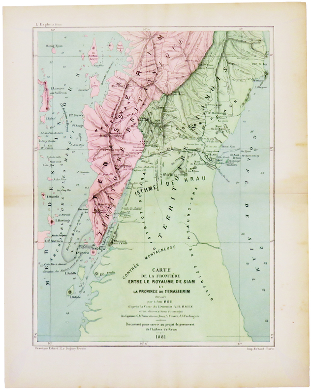
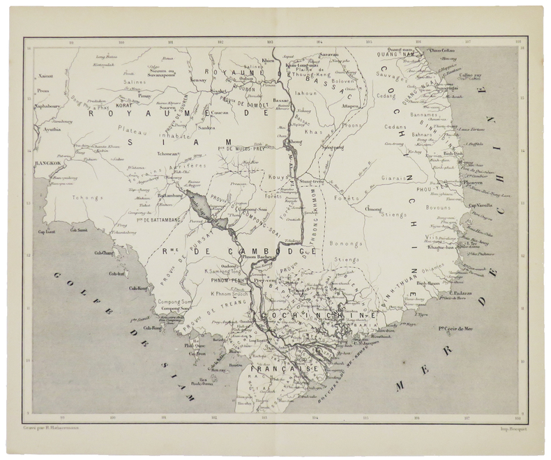
1882ref. LBW-5008[1882]. 250 x 189 mm.
1880ref. LBW-5002[1880]. 207 x 274 mm.
1894ref. LBW-8466Paris, Ch. Béranger, Août 1894. En 24 sections montées sur toile et repliées, formant une carte de 0,62 x 1,16 m ; étiquette au dos de l'éditeur Charles Béranger.
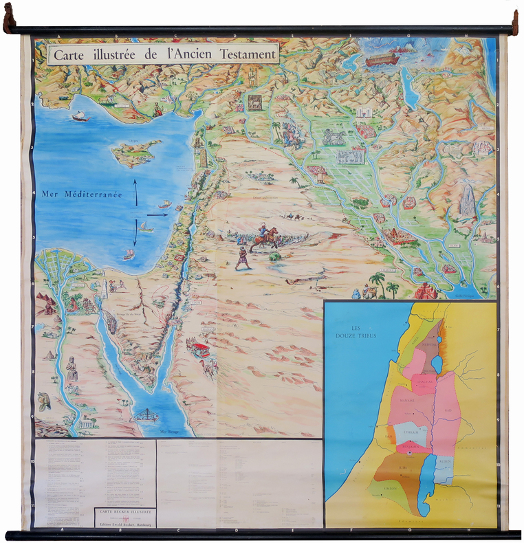
1950ref. LBW-7220Hambourg, Éditions Ewald Becker, [circa 1950]. En 4 feuilles jointes formant une carte de 1,70 x 1,66 m ; montée sur toile, entre deux baguettes de bois avec liens de cuir.
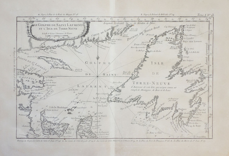
1764ref. LBW-23841764. 213 x 343 mm.
1865ref. LBW02e51Paris, 1865-1882. 635 x 945 mm.
1666ref. LBW-7582Lutetiæ Parisiorum, Apud authorem, 1666. En deux feuilles pouvant être jointes pour former une carte de 746 x 523 mm.
1845ref. LBW-8047Paris, F. Sinnett, [circa 1845]. 370 x 501 mm.
1749ref. LBW024d71749. 171 x 190 mm.
1790ref. LBW-7443[vers 1790]. 48 x 75 cm sur deux feuilles jointes.
ref. LBW-3453598 x 874 mm.
ref. LBW0027f[circa 1730]. 290 x 452 mm.
1836ref. LBW-5977[1836]. 590 x 388 mm.
1836ref. LBW-5984[1836]. 603 x 892 mm.
1803ref. LBW-7302[Paris, Brion, 1803]. 170 x 209 mm.
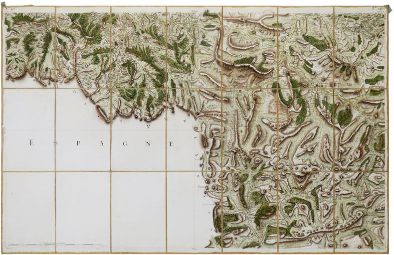
1756ref. LBW-6942[Paris, 1756-1789]. En 21 sections montées sur toile et pliées, formant une carte de 595 x 928 mm ; étiquette au dos portant le titre "Tarascon" et le numéro en manuscrit.
1841ref. LBW-1308Paris, [1841-1854]. 290 x 400 mm.
1827ref. LBW-4433[1827]. 756 x 501 mm.