FER (Nicolas de).Livre Rare Book
12.168 resultados
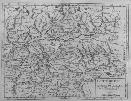
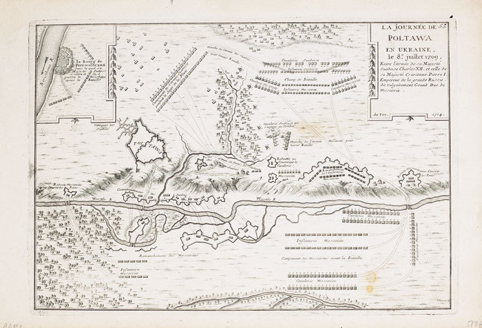
1714ref. LBW-7131714. 227 x 329 mm.
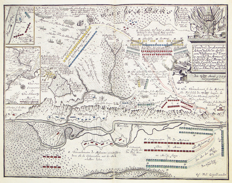
1710ref. LBW-2770[circa 1710]. 450 x 585 mm.
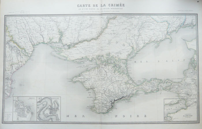
1856ref. LBW-1084Paris, J. Andriveau-Goujon, 1856. 579 x 955 mm.
2 nautical charts. Standard issue, 70 x 103 cm approx. with a single fold. Two fine British Admiralty Hydrographic Charts for the Gulf region, covering the entire north-eastern coastline of the Arabian Peninsula. The set comprises the comprehensive map of the entire Arabian Gulf (2858), covering the area from Basra to Ras al-Hadd, as well as the map of Trucial Oman (3705) encompassing plans of Umm Al Qaywayn, Dubai and Abu Dhabi. - First issued in 1955 and 1965 respectively, the present charts are enhanced editions from the early 1970s. The practice was to print an initial edition based on a major hydrographic survey, and then to overprint them with subsequent data as it became available. - Small creases. Very well preserved.
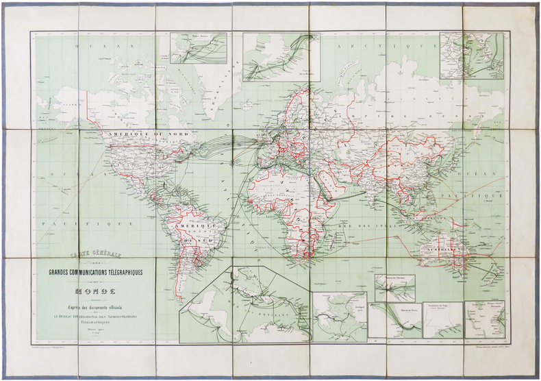
1901ref. LBW-6826Berne, Kartographische Anstalt Lips, 1901. En 21 sections montées sur toile gris-bleu et pliées, formant une carte de 468 x 668 mm ; étiquette au dos portant le titre manuscrit.
1748ref. LBW027ac1748 161 x 211 mm.
1772ref. LBW-79371772. 570 x 865 mm, sur papier fort bleuté.
1720ref. LBW-6847Paris, Crépy, [circa 1720]. 167x 213 mm.
1708ref. LBW-3528[Amsterdam, 1708]. 352 x 480 mm.
1834ref. LBW-8665[Paris], Dépôt-Général de la Marine, 1834. 432 x 590 mm.
1855ref. LBW-8603[Paris], Dépôt-Général de la Marine, 1855. 445 x 616 mm.
ref. LBW01b45[circa 1730]. 299 x 457 mm.
1810ref. LBW-8989[Paris, circa 1810]. En 21 sections montées sur toile et repliées, formant une carte de 600 x 925 mm ; étiquette au dos du marchand d'estampes et de cartes géographiques parisien Auvray, portant les noms de Tulle, Brives et Pompadour en manuscrit.
1656ref. LBW-3638Paris, P. Mariette, 1656. 430 x 544 mm.
1747ref. LBW-64011747. 542 x 624 mm.
1679ref. LBW-6502Paris, H. Jaillot, 1679. 457 x 587 mm.
1759ref. LBW-8806[Paris, 1759]. En 18 sections montées sur toile et repliées, formant une carte de 605 x 938 mm ; étiquette au dos du géographe Jean-Claude Dezauche, portant le numéro de la carte et le titre en manuscrit ; onglet de vélin renseigné du numéro de la feuille.
1802ref. LBW-824[Paris, 1802]. 266 x 451 mm.
1802ref. LBW-825[Paris, 1802]. 252 x 399 mm.
1802ref. LBW-823[Paris, 1802]. 270 x 405 mm.
ref. LBW0622bLa Haye Anna Beek circa 1710 244 x 370 mm.
1705ref. LBW027cdParis chez l'auteur 1705 248 x 347 mm.
1961Very Good English Original wrappers. Roy. 8vo. ('4 x 17 cm). In English. pp. 97-127, 9 b/w plates. This offprint from the Greek journal published in a long run from 1928 to 1961 in 24 volumes, examines the 14th-century coastline of the Byzantine Empire of Trebizond with toponyms and topography on two portolan maps of the period. "Bryer was a British historian of the Byzantine Empire and founder of the Centre for Byzantine, Ottoman, and Modern Greek Studies at the University of Birmingham. Part of his childhood was spent in Jerusalem and he was acquainted with Sir Steven Runciman, historian, and Byzantine Scholar. He initially remained at Balliol for his doctorate on the Empire of Trebizond, which he completed in 1967, but in 1964 he moved to the University of Birmingham where he created a program in Byzantine studies. In 1975 he founded the journal Byzantine and Modern Greek Studies. From 1976, he was the founding Director of the Centre for Byzantine Studies, and in 1980 he was appointed Professor of Byzantine Studies, a post which he held until 1999." (Wikipedia). Not in OCLC.
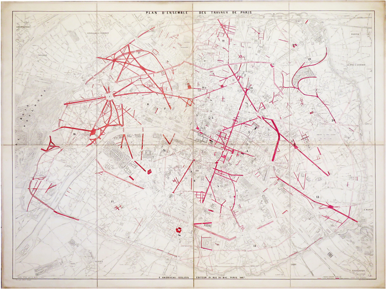
1867ref. LBW-6483Paris, E. Andriveau-Goujon, 1867. En 8 sections montées sur toile et pliées, formant un plan de 0,99 x 1,30 m.
1900ref. LBW-5347Paris, Taride, 1900. 745 x 671 mm, repliée et montée dans une couverture de papier rouge.