12,595 results
Cartonn?. 160 pages.
ref. 101.308Bruxelles, Crédit Communal de Belgique, 1979. 21 x 30, 192 pp., très nombreuses illustrations en couleurs et en N/B, broché, bon état.
ref. 36714Chantecler, 2002. 14 x 23, 115 pp., très nombreuses figures, cartonnage d'édition imprimé, très bon état.
1925Collection " Toute la France en 25 sections " . Plan en couleurs et en parfait état . Sous étui . L'étui comporte quelques défauts . 250 gr.
1925ref. 009809Paris Cartes Taride 1925 68,5 Cm X 90,5 Cm Collection " Toute la France en 25 sections " . Plan en couleurs et en parfait état . Sous étui . L'étui comporte quelques défauts . 250 gr.
ref. 5248Bruxelles, Editions Libro-Sciences, 1973. In-12, format à l'italenne. Cartonnage éditeur toie verte avec une llustration en noir et blanc contre-collée sur le 1er plat. 137 pages de reproductions NB de cartes postales anciennes légendées. Une petite tache sur la couverture sans gravité. Bon état de l'ensemble.
ref. 36708Paris, N.O.E., 1977. 14 x 22, 189 pp., broché, état moyen (couverture défraîchie).
ref. 68632Salzburg, Residenz, 1977 in Schuber, 398 Seiten, mit 140 Bildwiedergaben, davon 83 Farbtafeln, 47 Schwarzwei tafeln und 10 Abbildungen im Text.31.5 x 36 cm, GERMAN. *Sehr gut. ISBN 9783701701766.
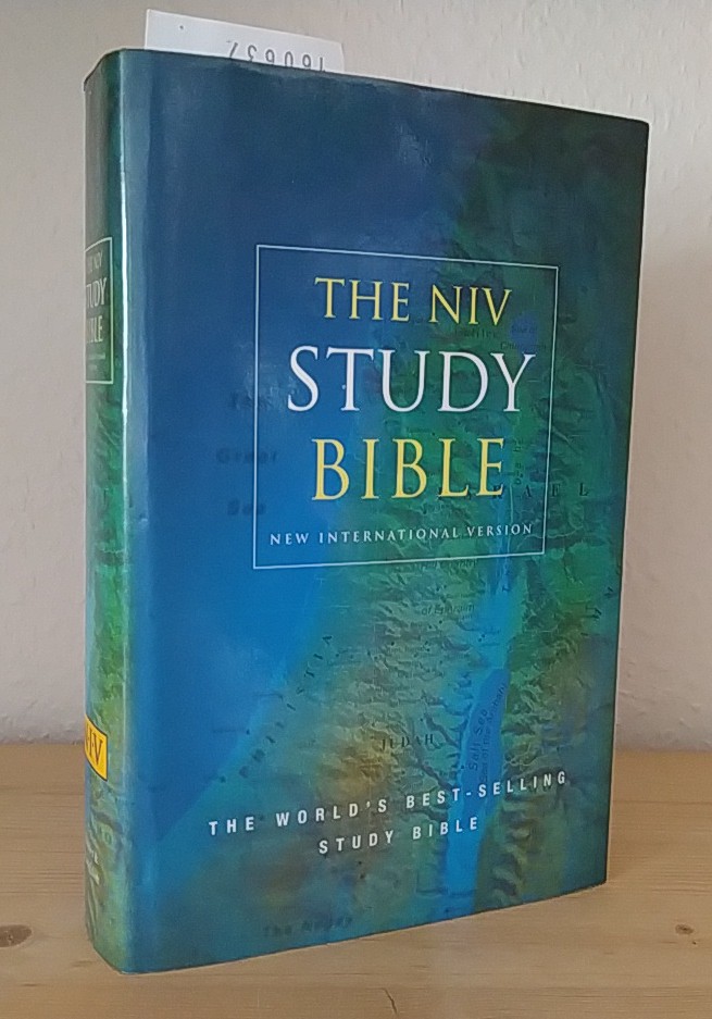
2000ref. 160637London, Sydney, Auckland: Hodder & Stoughton 2000. XVIII, 2171 Seiten. Dünndruck. Mit 11 farbigen Kartenabbildungen im Anhang. Gr. 8° (22,5-25 cm). Orig.-Kunstlederband mit goldgeprägtem Titel auf Deckel und Rücken sowie mit Orig.-Schutzumschlag und Lesebändchen. [Hardcover / fest gebunden].
1969No marks or inscriptions. A very clean very tight copy with bright unmarked boards, minor foxing to page edges and no bumping to corners. Dust jacket price clipped but not marked or torn or creased. Protected in a fully-removable plastic sleeve. 160pp. The ideal study for those interested in maps as an investment or just in collecting maps. It covers map making, the first printed maps onwards, sea charts, British, French and German map making, county histories, town plans and much more. Very well illustrated with maps of all types and ages.
1987No marks or inscriptions. A lovely clean very tight copy with bright unmarked cream cloth boards and no bumping to corners. Dust jacket not price clipped or marked or torn or creased with rubbing to upper and lower edges and faint indenting. 191pp. In this study of Japan, Professor Kurita lifts away the veil that hides the Japanese nation's special traits and contrasts them with the West. Text in English and Japanese. Very well illustrated in colour.
1985No marks or inscriptions. No creasing to covers or to spine. A very clean very tight copy with bright unmarked white cloth boards and no bumping to corners. Dust jacket not price clipped or marked or torn or creased. 192pp. Architectural and cultural pictorial guide to Prague. Interestingly the Mayor states (in 1985) that the city was saved in 1945 by the illustrious (!) Soviet Army from destruction.. A number of poems in Czech throughout the book. The page-referenced index at the end names each illustration in five languages including English.
1929Folding coloured map on paper measuring 24 x 33 ins (approx. 61.0 x 84.0 cms) folding in 32 panels to 7.5 x 4.25 ins (approx. 19.0 x 11.0 cms), neat contemporary signature on front cover, one or two neat repairs at folds; original pictorial card wrappers, yapped edges, wrappers lightly age-soiled else a very good, bright, clean copy. The One Inch Tourist Map series was first published in 1924 with 'Official Royal Arms' artwork. The present copy is the 1929 revision; the cover is single red lineation on buff with black arms, red sheet name and location map. Browne, 8.1.a.1.
1933Folding coloured map on cloth measuring 22.0 x 28.5 ins (approx. 56.0 x 72.0 cms) folding in 21 panels to 7.5 x 4.25 ins (approx. 19.0 x 11.0 cms), small neat contemporary signature on front wrapper else a very good, bright, clean copy. The famous Popular Edition One Inch series was first published in 1919 with striking 'hiker' artwork by Ellis Martin. The present copy is the 1933 revision (roads and railways) of the 1921 impression; the covers are the dark red and black variant with location map. Browne, 11.2.a
1931Folding coloured map on cloth measuring 22.0 x 28.5 ins (approx. 56.0 x 72.0 cms) folding in 21 panels to 7.5 x 4.25 ins (approx. 19.0 x 11.0 cms), some light pencilled annotation in margins; original pictorial card wrappers, wrappers lightly age-soiled else a very good, bright, clean copy. The famous Popular Edition One Inch series was first published in 1919 with striking 'hiker' artwork by Ellis Martin. The present copy is the 1931 revision; the covers are the dark red and black variant with location map. Browne, 11.2.a
1932Folding coloured map on cloth measuring 22.0 x 28.5 ins (approx. 56.0 x 72.0 cms) folding in 21 panels to 7.5 x 4.25 ins (approx. 19.0 x 11.0 cms), small neat contemporary signature on front wrapper else a very good, bright, clean copy. The famous Popular Edition One Inch series was first published in 1919 with striking 'hiker' artwork by Ellis Martin. The present copy is the 1932 revision; the covers are the dark red and black variant with location map. Browne, 11.2.a
1935Folding coloured map on linen measuring 22.0 x 28.5 ins (approx. 56.0 x 72.0 cms) folding in 21 panels to 7.5 x 4.25 ins (approx. 19.0 x 11.0 cms); a very good, bright, clean copy. The famous One Inch Fifth Edition series was first published in 1934 with striking 'younger sitting hiker' artwork by Ellis Martin. The present copy is the 1935 revision; the covers are the blue and black variant with location map. Browne, 11.2.unrecorded.
1935Folding coloured map on paper measuring 22 x 30 ins (approx. 56.0 x 76.0 cms) folding in 21 panels to 7.5 x 4.25 ins (approx. 19.0 x 11.0 cms); original pictorial card wrappers, wrappers lightly age-soiled else a very good, bright, clean copy. The Half Inch series was first issued in 1919 with striking 'motorist' artwork by Ellis Martin. The present copy is the 1935 revision; the covers are the green and brown variant with green sheet name. Browne, 12.2.a
1979No marks or inscriptions. No creasing to covers or to spine. A very clean very tight copy with bright unmarked boards and no bumping to corners. 84pp. Details of the culture of Indonesia with particular emphasis on Jakarta's Central Museum Pusat. Illustrated.
2003Fine English Paperback. Roy. 8vo. (24 x 17 cm). In Turkish. [xxiii], 343 p., color ills. Köy köy Türkiye yol atlasi. 1/400.000. Turkey road atlas village by village.
1912378 p. + Plus Frontis and full page photographs and maps. Large folding tissue map of Sinai peninsula with the route of the Exodus in red. Title page printed in red and black. Robert C. Bair's copy, with his notations in pencil. Robert C. Bair, a lawyer and son of a local judge was involved in politics and served as the Director of Historical Society of York County. Quarto. Original full green cloth binding, lettered in gold. Extremities bumped and slightly worn. Hardbound. First Edition. HOLY LAND BOX 1
19118' 147pp. rebound hardcover. cover slightly worn. some staines on front-edge. some pencil marks on edges. ex libris with usual marks. a few b/w illustrations. else in good condition.
19858' in a worn yellow hard slipcase and in a white soft slipcase. softocover booklet and numerous tables and maps. else in good condition.
1989245x335 mm. 132 pages. Gilt hardcover with dust-jacket. In good condition. PLEASE NOTE: This item is overweight. We may ask for extra shipping costs.
1990No marks or inscriptions. No creasing to covers or to spine. A very clean very tight copy with bright unmarked boards and no bumping to corners. 224pp. History, architecture, travel through three English counties near the Welsh border. Well illustrated.