VIVIEN de SAINT-MARTIN (Louis).Livre Rare Book
12,365 results
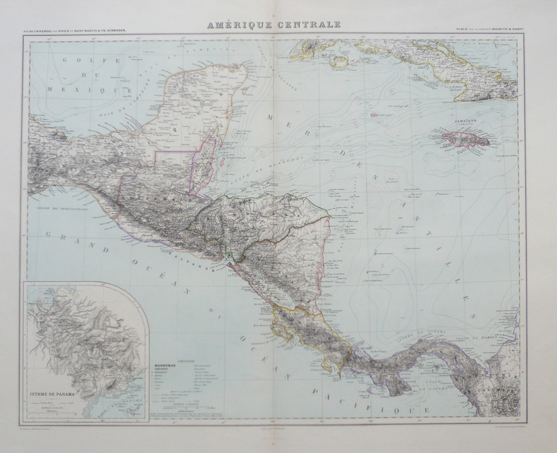
1885ref. LBW-9401885. 460 x 536 mm.
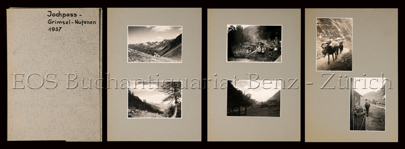
1937ref. 748CG1937. 19 Fotografien, montiert auf Halbkarton. Format: ca. 8 x 6 u. 6 x 8 cm. + Wichtig: Für unsere Kunden in der EU erfolgt der Versand alle 14 Tage verzollt ab Deutschland / Postbank-Konto in Deutschland vorhanden +, Mappe u. Bilder
1879ref. 10550Paris Bès et Dubreuil Imprimeurs 1879 in-16 cartonné carte en couleurs (map in paper in colours cloth-lined map) avec vues gravées en noir de chateaux, villes, ponts etc... - repliée sous une chemise vieux rose éditeur cartonnée in-octavo (folding under editor hardback jacket) (16 x 10,5 cm), dos muet (spine without title), titre frappé "or" sur le premier plat (gilt tile on the front cover) dans un encadrement d'un filet large et d'un filet fin à froid (plaque spéciale Editeur) , dimensions de la carte dépliée : 85,5 centimètres de largeur sur 60 centimètres de hauteur, petites déchirures aux plis (small tears with the folds), gravée par Bénard, 1879 à Paris Bès et Dubreuil Imprimeurs Editeurs,
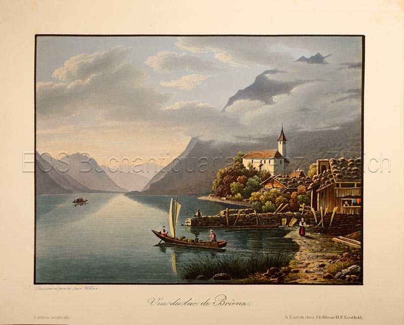
1840ref. 781CGZürich, H. F. Leuthold, um 1840. Altkolorierte Aquatinta von Lukas Weber. Bildgrösse: 13 x 17,3 cm. Blattgrösse: 17,1 x 21,5 cm. + Wichtig: Für unsere Kunden in der EU erfolgt der Versand alle 14 Tage verzollt ab Deutschland / Postbank-Konto in Deutschland vorhanden +, Abb.
1720ref. LBW-8790Nuremberg, [circa 1720]. 312 x 398 mm ; montée sur toile.
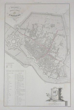
ref. LBW03595circa 1850 525 x 340 mm.
ref. DADAX0470524316New unknown
2007Book is in excellent condition but with lower corners bumped, one pretty hard, and impact marks at front fore edge, otherwise very clean. Binding is solid and square, covers have sharp corners, exterior shows no other blemishes, text/interior is clean and free of marking of any kind. Dust jacket shows the slightest signs of shelf wear only, no tears. 288 pages with a great many full color, often full page photos throughout of both current landscapes, with maps, floorplans, landscape drawings, detail maps of past and present cities, and art and architectural photos of the particular city, with a narrative from one of the four authors regarding the Greek colonization of southern Italy in the 8th and 7th centuries B.C., and the assimilation of Greek sensibilities and ideas into what eventually apppeared as the Roman Empire. Cities include: Those of the Fulf of Naples, Poseidonia, Paestum, Velia, Lokroi Epizephyrioi, Kroton, Sybaris, Thurii, Siris, Herakleia, Metapontion, Taranto, Naxos, Cela, Karmarina, Morcantina, Selinute, Herakleia Minoa, Segesta, Himera, Tindari, etc.
ref. 15853Genève, Librairie J. Jullien, 1880 [et] 1881. In-8 de VIII-331-[1]-311-[1] pages, demi-basane bleu nuit, dos lisse orné de filets dorés.
1895ref. 15658Wien, Alfred Hölder, 1895. 2 volumes in-4 de VII-573et [2]-565 pages, pleine percaline verte, dos à 5 petits nerfs ornés de fleurons, filets, titre et tomaison dorés, filet doré encadrant les plats, initiales de l'auteur couronnées au coin supérieur des premiers plats, tranches teintées.
ref. 13976538Paris: Hermann, 1968 pet. in-4, 346 pages, riche illustration, bibliographie. Reliure toile, jaquette avec pet. marques.
1710ref. 89741710 carte ancienne à l'eau-forte, colorée d'époque à l'encre rouge jaune et bleue. Format total : 18,5 centimètres de haut par 25 centimètres de large, sans date (1700) ni lieu ni Editeur,
1967Folio in light blue cloth with gilt-stamped titles; xx, 170, 80 pages maps (chefly color) 30 cm In German. Maps beautifully printed in many colors. / Historical geography -- Maps. Historical geography. Atlas Weltgeschichte Maps. Maps. Cartes gÈographiques.Cartography / **A large book. Extra shipping charges may apply for international & expedited orders. Please inquire.**
1992Book is in excellent condition, as new with bright red covers, white print at spine, map endpapers. Binding is solid and square, covers have sharp corners, exterior shows no blemishes, text/interior is clean and free of marking of any kind. Heavily illustrated throughout with architectural drawings, floorplans, maps, interiors, exteriors, landscape maps, b&w photos of elevations, facades, ruins, details, etc. Dust jacket shows the slightest signs of shelf wear only, no tears. Contents include: Greek gymnasium and the Greek bath, Bathing and baths in the Roman wold, Origins and early development of Roman baths, Thero-mineral baths, Thermae of Rome, Baths of North Africa, Baths and gymnasia in Asia Minor, Baths and bathing in the late antique and early Byzantine world, with four appendices, notes, etc. 501 pages. copyright Pistil Books, 2011
ref. 0008328072.Gmap. Good. Access codes and supplements are not guaranteed with used items. May be an ex-library book. unknown
ref. DADAX0412390809New unknown
1704carte au format 645 x 49 cm., frontières rehaussée en couleur, par Guillaume De l'Isle, de l'Académie Royale des Sciences à Paris, Chez l'Auteur sur le Quai de l'Horloge, 1704 Etat satisfaisant (marges rognées au maximum, petites salissures). Français
1846ref. CZC-13294complet de ses 32 planches dressées par Th. Duvotenay - gravées par Ch. Dyonnet. Table: 1. France, Nord et Est - Belgique. 2. Bataille de Valmy - Forêt de lArgonne. 3. Bataille de Jemmapes. 4. Bretagne et Vendée. 5. Le Bocage et le Marais - Quiberon. 6. Le Rhin. 7. Plan de Mayence. 8. Pyrénées orientales et occidentales. 9. Plan de Lyon. 10. Bataille dHondschoote. 11. Bataille de Wattignies. 12. Plan de Toulon. 13. Bataille de Nerwinde. 14. Carte de la Hollande. 15. Bataille de Fleurus. 16. Carte du Piémont et de la Lombardie. 17. Bataille de Montenotte et de Millesimo. 18. Plan de Mantoue - Bataille de Saint-Georges et de La Favorite. 19. Plan de Strasbourg. 20. Carte de lItalie. 21. Bataille de Castiglione. 22. Bataille dArcole. 23. Bataille de Rivoli. 24. Entre Pô et Danube. 25. Plan de Venise. 26. Plan de lîle de Malte. 27. Carte dEgypte et de Syrie. 28. Bataille des pyramides. 29. Bataille dAboukir (sur terre et sur mer). 30. Bataille du Monthabor. 31. Carte de la Suisse. 32. Plan de Zürich volume in-4, grand format à l'Italienne, 42x28cm, cartes entières et non pliées, cartonnage éditeur Paris Furnes 1846
1846ref. CZC-13294complet de ses 32 planches dressées par Th. Duvotenay - gravées par Ch. Dyonnet. Table: 1. France, Nord et Est - Belgique. 2. Bataille de Valmy - Forêt de lArgonne. 3. Bataille de Jemmapes. 4. Bretagne et Vendée. 5. Le Bocage et le Marais - Quiberon. 6. Le Rhin. 7. Plan de Mayence. 8. Pyrénées orientales et occidentales. 9. Plan de Lyon. 10. Bataille dHondschoote. 11. Bataille de Wattignies. 12. Plan de Toulon. 13. Bataille de Nerwinde. 14. Carte de la Hollande. 15. Bataille de Fleurus. 16. Carte du Piémont et de la Lombardie. 17. Bataille de Montenotte et de Millesimo. 18. Plan de Mantoue - Bataille de Saint-Georges et de La Favorite. 19. Plan de Strasbourg. 20. Carte de lItalie. 21. Bataille de Castiglione. 22. Bataille dArcole. 23. Bataille de Rivoli. 24. Entre Pô et Danube. 25. Plan de Venise. 26. Plan de lîle de Malte. 27. Carte dEgypte et de Syrie. 28. Bataille des pyramides. 29. Bataille dAboukir (sur terre et sur mer). 30. Bataille du Monthabor. 31. Carte de la Suisse. 32. Plan de Zürich volume in-4, grand format à l'Italienne, 42x28cm, cartes entières et non pliées, cartonnage éditeur Paris Furnes 1846
1982ref. Q-093528432XThe Patrice Press 1982. paperback. New. In shrink wrap. Looks like an interesting title! The Patrice Press paperback
ref. Q-0316706078Little Brown & Company 1929-01-01. Hardcover. New. In shrink wrap. Looks like an interesting title! Little Brown & Company hardcover
ref. 1841392723.Gmap. Good. Access codes and supplements are not guaranteed with used items. May be an ex-library book. unknown
ref. 0881306894.Gpaperback. Good. Access codes and supplements are not guaranteed with used items. May be an ex-library book. paperback
ref. DADAX019959306XNew unknown
1940ref. 71435Los Angeles: Automobile Club of Southern California ca. 1940. A fine grouping of 14 pre-freeway California maps from the Automobile Club of Southern California. Housed in the original box given to the subscriber when he received them at his local office one end missing but attractive nonetheless. A few slight separation fold splits but overall in very good condition with the majority appearing to have never been opened.Maps are; Eastern Section of Los Angeles; Central Section of Los Angeles; Southern Section of Los Angeles; San Fernando Valley Section of Los Angeles; Orange County; Metropolitan Los Angeles; Imperial County; San Diego County; Kern County; San Luis Obispo County; Tulare County; Ventura County; Riverside County; California. Automobile Club of Southern California unknown