ROBERT de VAUGONDY (Didier).Livre Rare Book
12,210 results
1768ref. LBW-1955vers 1768. 480 x 589 mm.
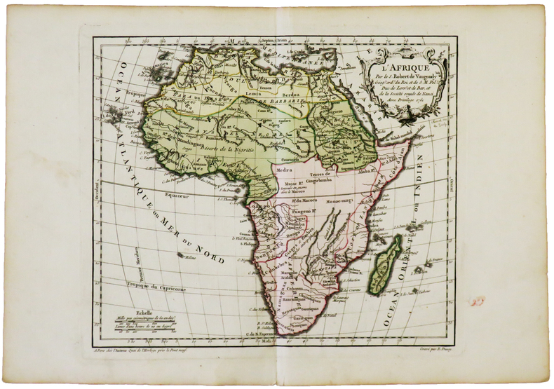
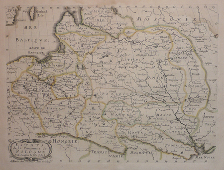
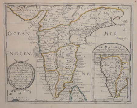
1762ref. LBW-4994Paris, chez l'auteur, [1762]. 238 x 280 mm.
1778Carta geografica colorata a mano (53,5x71), con larghi margini, buone condizioni. Hand coloured map (53,5x71), large margins, good copy.
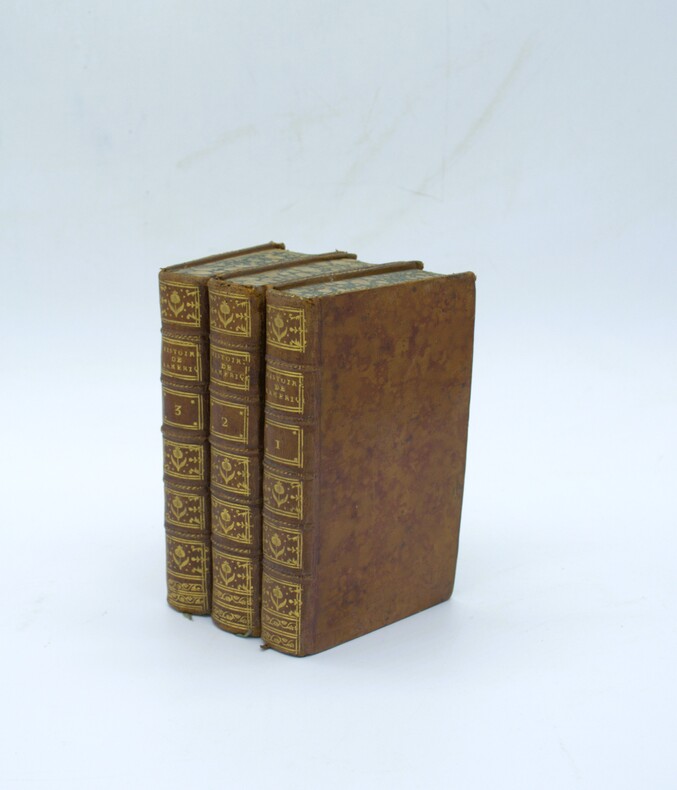
1777ref. PHO-2334Paris, Chez Panckoucke, 1777, 3 volumes in-12 (17x10cm), 2ff.-xvi-382pp.-1f.-537pp., 1f.-487pp., basane époque, dos à nerfs ornés avec titre et tomaison, tranches cailloutées bleues. Coins usés (tome 3), épidermures (tome 1).
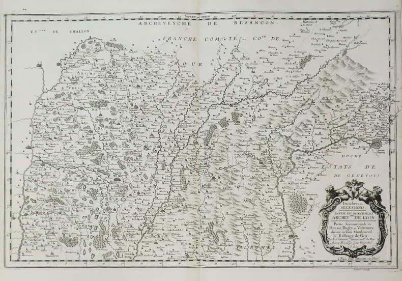
1660ref. LBW-3667Paris, P. Mariette, 1660. 354 x 555 mm.
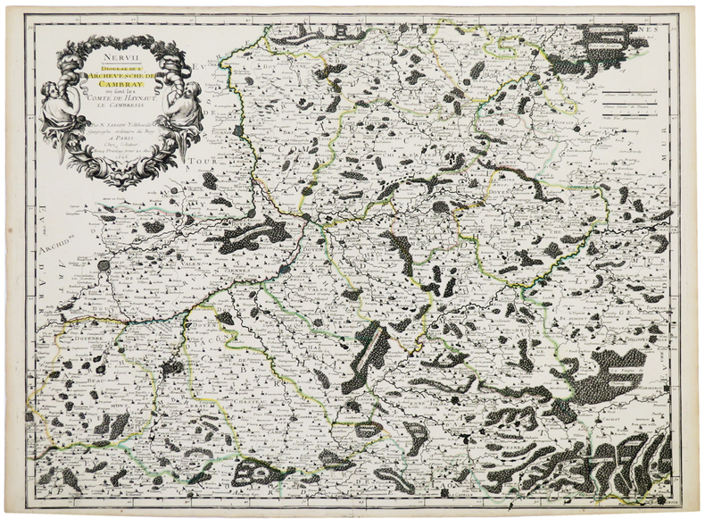
1656ref. LBW-5321Paris, chez l'auteur, 1656. 420 x 552 mm.
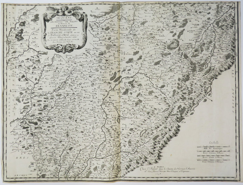
1658ref. LBW-3648Paris, chez l'auteur, 1658. 427 x 565 mm.
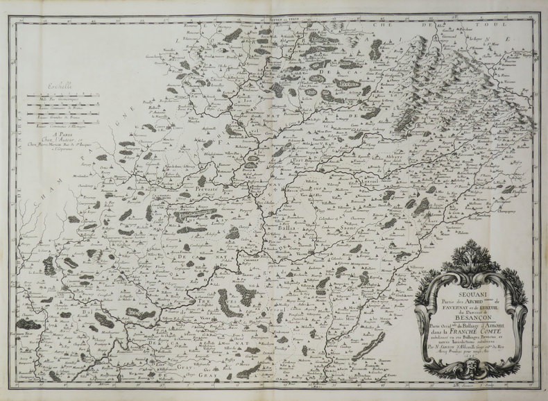
1658ref. LBW-3419Paris, chez l'auteur, 1658. 397 x 560 mm.
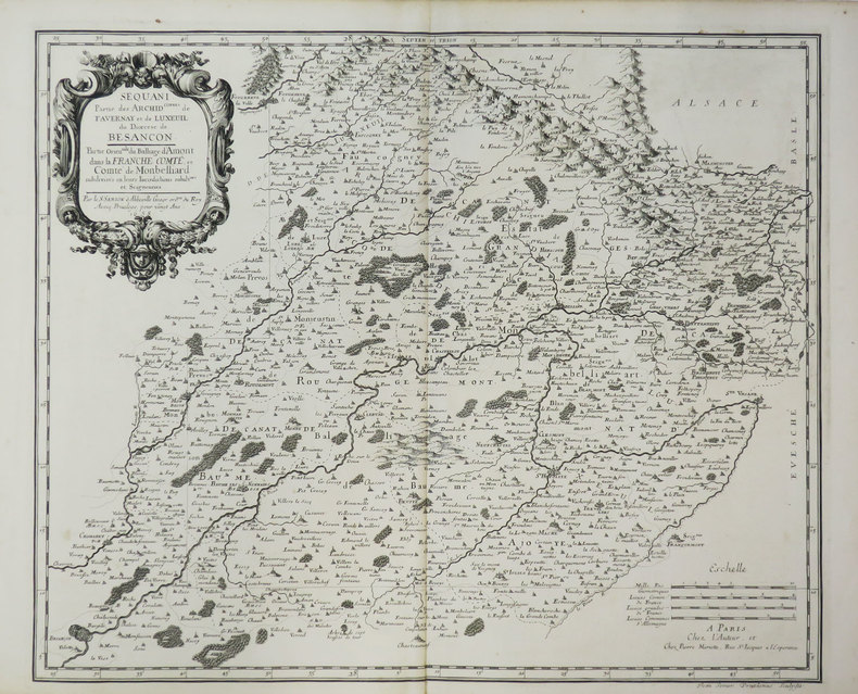
1658ref. LBW-3669Paris, chez l'auteur, 1658. 396 x 483 mm.
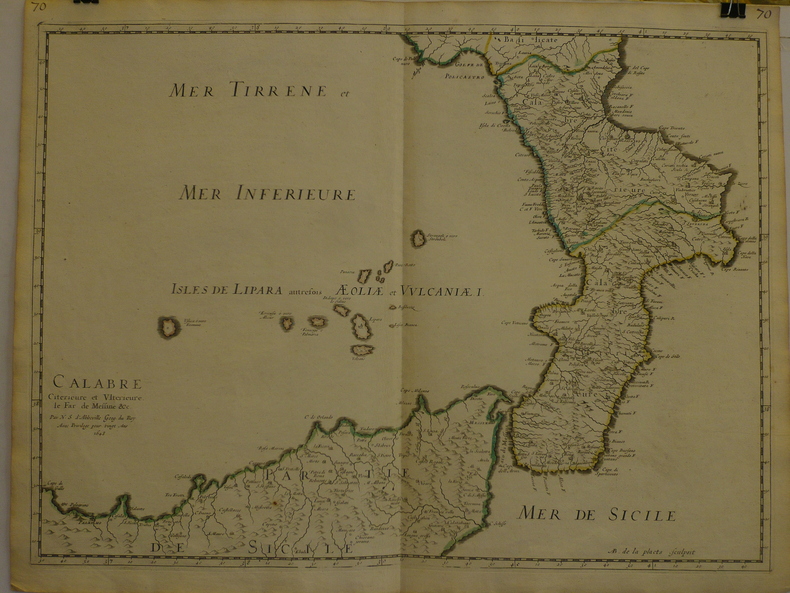
1648ref. LBW-9691648 409 x 558 mm.
1657ref. LBW0418dParis chez l'autheur 1657 191 x 253 mm.
1652ref. LBW041971652 192 x 243 mm.
1747ref. 20246PARIS SANSON 1747 une carte dépliante sur papier ligné filigrané, reliure bradel cartonné in-octavo (12,6 x 19 cm) recouvert d'un papier velin saumon, titre à l'encre brune sur une etiquette de papier ligné blanc au trois quart centre de la première de couverture, carte ancienne colorée d'époque en vert , rouge et jaune, cartouche non coloré. Format total dépliée : 47 centimètres de haut par 60 centimètres de large (Size: 23 x 18 inches), 1747,
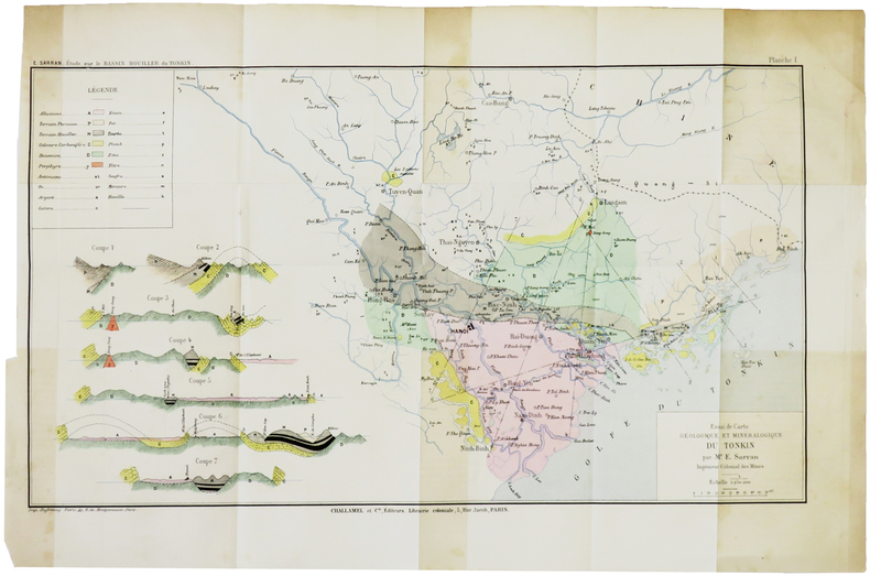
1888ref. LBW-5005[1888]. 243 x 433 mm.
ref. 12033DBo.J. Peter Schenk der Jüngere, geboren am 15. Februar 1693 in Amsterdam, gestorben am 14. Januar 1775 ebenda. Deutscher Kupferstecher und Kartenverleger, der als bedeutendster Verleger sächsischer Spezialkarten in der ersten Hälfte des 18. Jahrhunderts gilt. [4 Warenabbildungen]
Format 48 x 55 cm. Blattgröße: 49 x 57 cm. *Originalausgabe der Karte von Scheurer, sie wurde später auch von Lotter nachgedruckt. Rechts eine große Kupferstichkartusche sowie rechts und links mit 17 Wappen. - Geglättete Falzspuren, insgesamt sauber und gut erhalten. Landkarten de
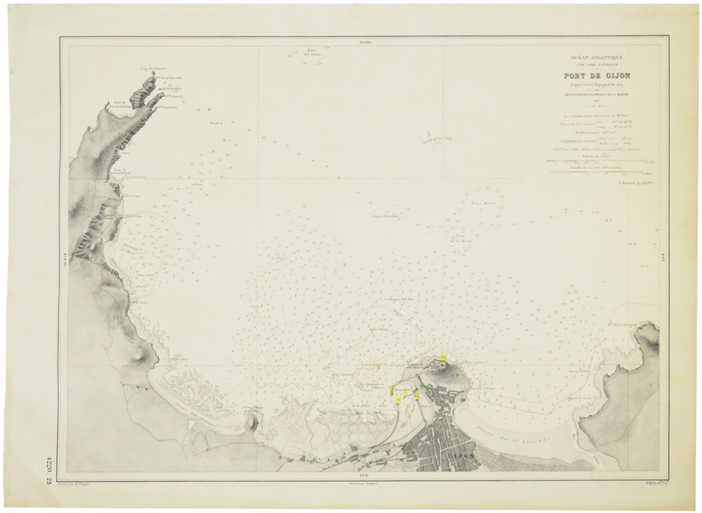
1887ref. LBW-5712Service Hydrographique de la Marine, 1887. 319 x 432 mm.
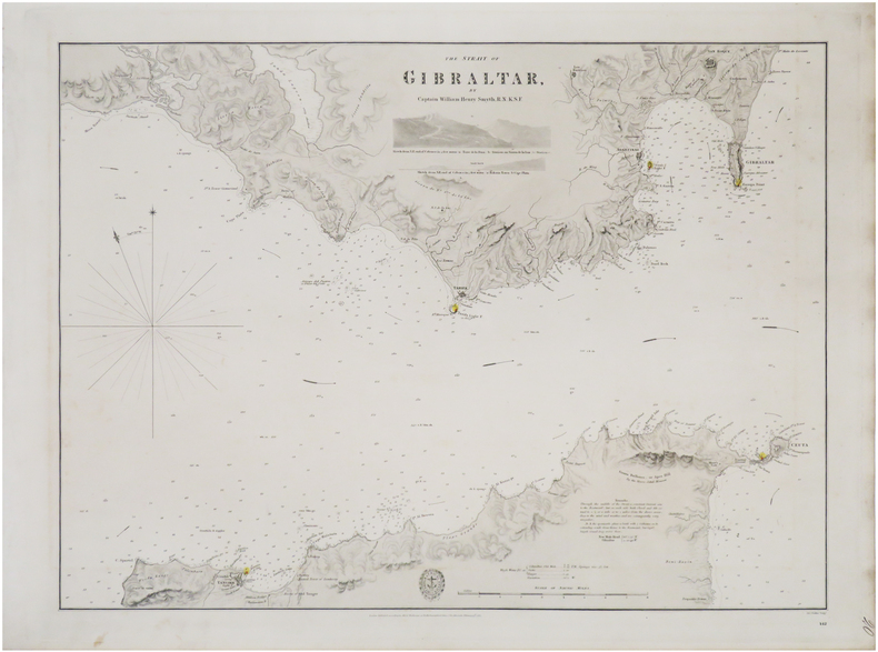
1833ref. LBW-8936London, Hydrographical Office of the Admiralty, 1833. 445 x 592 mm.
1853Carta del Mondo in proiezione mercatoriana, in due fogli, tratta dal Family Atlas. Questa mappa dettagliata presenta una notevole quantità di informazioni. Gli Stati Uniti sono mostrati escludendo il sud-ovest e il Texas. Il Texas è stato un paese indipendente dal 1836 al 1845, ma è mostrato qui come parte del Messico. Il confine settentrionale degli Stati Uniti e del Canada mostra il conteso confine per l'Oregon, scendendo fino a circa il 45° parallelo, che riflette le rivendicazioni britanniche in quella regione. La questione fu finalmente risolta nel 1846 con il trattato dell'Oregon che fissava quel confine al 49° parallelo. La regione artica mostra l'estensione delle conoscenze contemporanee, non notando nulla oltre al "Packed Ice" a nord dello stretto di Bering. L'Africa è mostrata con gran parte del suo interno non mappato - quella regione non è stata mappata a fondo fino all'ultima parte del XIX secolo. La Society for the Diffusion of Useful Knowledge, o SDUK, fu fondata nel 1826 per fornire informazioni scientifiche e di altro tipo alla classe media e ai lavoratori britannici. This delicately detailed map on two separate sheets presents a considerable amount of information. The United States is shown excluding the Southwest and Texas. Texas was an independent country from 1836-1845, but it is shown here as part of Mexico. The northern border of the United States and Canada shows the disputed border for Oregon Territory coming down to about the 45th parallel, which reflects British claims in that region. This was finally solved in 1846 with the Oregon Treaty fixing that border at the 49th parallel. The Arctic region shows the extent of contemporary knowledge, noting nothing besides Packed Ice north of the Bering Strait. Africa is shown with much of its interior left unmapped - that region was not mapped thoroughly until the latter part of the 19th century. An attractive an informative map surrounded with a keyboard style border. The Society for the Diffusion of Useful Knowledge, or SDUK, was established in 1826 to provide scientific and other information to the British middle and working classes. The Family Atlas was published by Society for the Diffusion of Useful Knowledge. The SDUK published several editions of its atlas. Dates I have seen quoted are 1829-32, 1840, 1844, and 1846. In 1848 the SDUK ceased to be active, but works which it had commissioned continued to be published.
1795ref. 118021795 toilée, étui. 1 carte pliante, 51 x 74 cms, Berlin, D.F. Sotzmann, 1795,
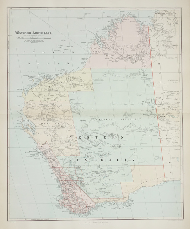
1896ref. LBW-2708London, Edward Stanford, [1896]. 508 x 628 mm.
Gotha, Justus Perthes, s.a. (1902). Gran Folio; 4 h. con portada e Índice, 95 mapas a doble página en color, y 201 pp. de Índice alfabético de nombres. Encuadernación de época en media piel con puntas.
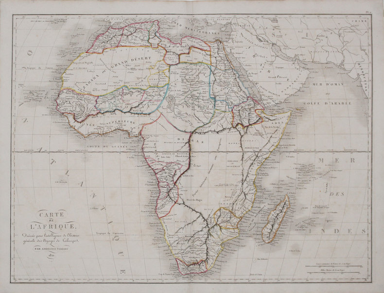
1825ref. LBW-31561821. 405 x 542 mm.
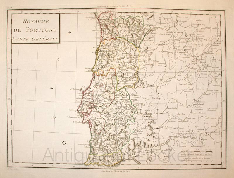
1800ref. KART0161Paris, um 1800. Plattengröße:45x34 cm, Blattgröße: 56,8x43,4 cm; verstärkter Mittelfalz, No. 108 im linken Plattenrand, in der Mitte im unt. Plattenrand: Longitude du Meridien de Paris; sauberes, dekoratives Blatt.
1840ref. LBW-3681[1840]. 212 x 279 mm.