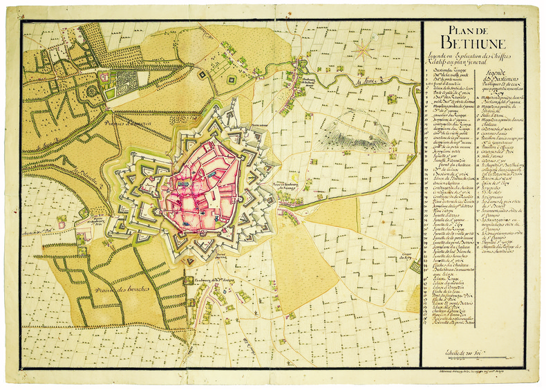
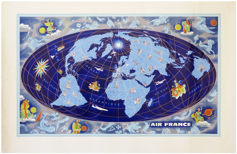
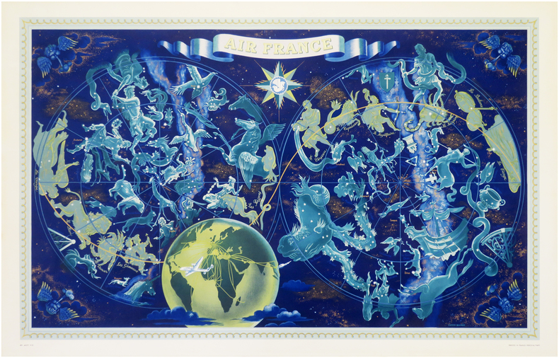
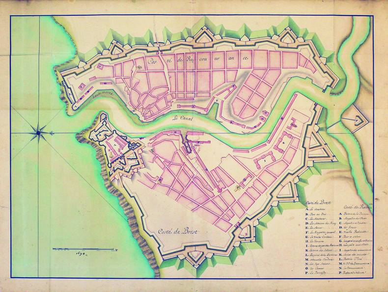
ARGENTRÉ (Bertrand d') & BOUGUEREAU (Maurice).Livre Rare Book
12,245 results
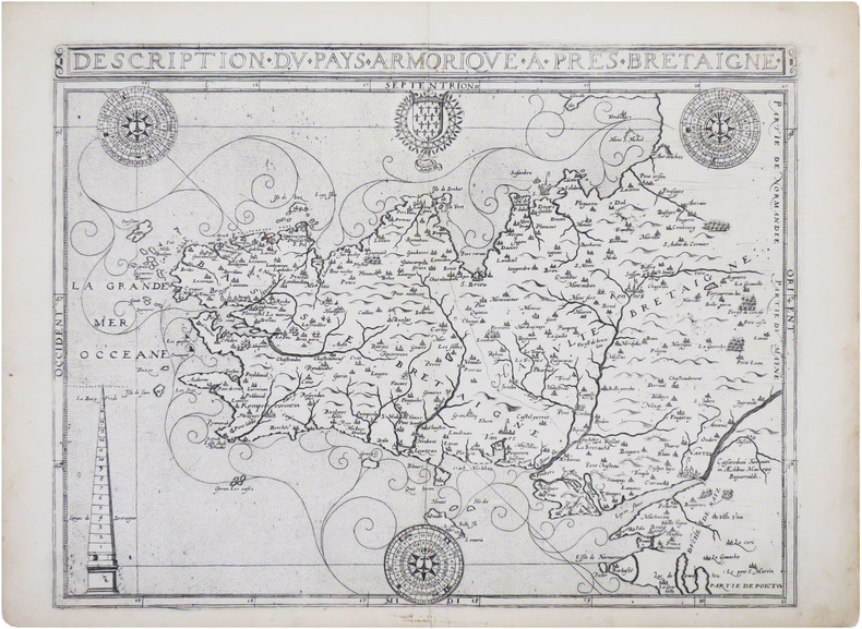
1618ref. LBW-8329[Paris, Nicolas Buon, 1618. 352 x 463 mm.
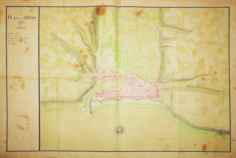
1727ref. LBW-41361727/1728. En deux feuilles jointes de 485 x 703 mm.
1962ref. LBW-6279Paris, Perceval, [1962]. Lithographie en couleurs de 953 x 592 mm.
1953ref. LBW-7934Paris, Perceval, 1953. Lithographie en couleurs de 0,65 x 1,02 m.
1588Grande pianta della città stampata su due fogli, ispirata alla celebre carta del Pirro Ligorio, tratta dal Civitates Orbis Terrarum. Questa straordinaria ricostruzione di Roma durante il regno di Augusto, arricchita da una cospicua legenda con 269 richiami, costituisce il lavorò più ambizioso contenuto nel Civitates Orbis Terrarum, del quale oltretutto è una delle sole tre mappe a doppio foglio. L’opera è inserita nel Civitates Orbis Terrarum, il primo atlante devoto esclusivamente alle piante e vedute delle principali città del mondo. Il primo volume delle Civitates Orbis Terrarum fu pubblicato a Colonia nel 1572. Il sesto e ultimo volume apparve nel 1617. Questo grande atlante di città – cartografia urbana - curato da Georg Braun e inciso in gran parte da Franz Hogenberg, conteneva 546 prospettive, vedute a volo d'uccello e vedute cartografiche di città di tutto il mondo. Franz Hogenberg realizzò le tavole dei primi quattro volumi e Simon van den Neuwel (Novellanus, attivo dal 1580) quelle dei volumi V e VI. Georg Braun (1541-1622), un ecclesiastico di Colonia, fu il principale redattore dell'opera e fu molto aiutato nel suo progetto dalla vicinanza e dal continuo interesse di Abraham Ortelius, il cui Theatrum Orbis Terrarum del 1570 fu, come raccolta sistematica e completa di mappe di stile uniforme, il primo vero atlante. Le Civitates, in effetti, erano destinate ad accompagnare il Theatrum, come indicato dalla somiglianza dei titoli e dai riferimenti contemporanei sulla natura complementare delle due opere. Tuttavia, le Civitates erano progettate per avere un approccio più popolare, senza dubbio perché la novità di una raccolta di piante e vedute di città rappresentava un'impresa commerciale più rischiosa di un atlante mondiale, per il quale c'erano stati diversi precedenti di successo. Franz Hogenberg (1535-1590) era figlio di un incisore di Monaco che si era stabilito a Malines. Incise la maggior parte delle tavole del Theatrum di Ortelius e la maggior parte di quelle delle Civitates, e potrebbe essere anche indicato come il responsabile dell'origine del progetto. Oltre un centinaio di artisti e cartografi diversi, il più importante dei quali fu l'artista di Anversa Georg Hoefnagel (1542-1600), fornirono i disegni per le tavole delle Civitates. Hoefnagel non solo contribuì alla maggior parte del materiale originale per le città spagnole e italiane, ma rielaborò e modificò anche quello di altri collaboratori. Dopo la morte di Hoefnagel, il figlio Jakob continuò il lavoro per le Civitates. Gli autori della raccolta si proponevano di raffigurare "non icones et typi urbium", cioè non immagini generiche e tipizzate, "sed urbes ipsae admirabili caelaturae artificio, spectantium oculis subiectae appareant": non intendeva alludere o idealizzare, ma rappresentare fedelmente sulla carta, riprodurre esattamente, e in tempo reale, ciò che l'occhio vede, come annunciato nella prefazione al primo volume delle Civitates Orbis Terrarum. Incisione in rame, bella coloritura coeva, leggeri restauri perfettamente eseguiti per il resto in buono stato di conservazione. A good example, with fine original colour, of the Braun & Hogenberg Plan of Rome, first published in the 1588 edition of the Civitates Orbis Terrarum.Braun & Hogenberg's view is based upon the work of Pirro Ligorio. However, the title banner and lower key embellishments are completely revised, the former lacking the strapwork used by Braun & Hogenberg and replaced with a tapestry style fringe, while the lower key is now embellished with images of two nobles.Rome is shown from the west in a bird's-eye view that was a major achievement in its day. It includes the most important buildings from antiquity, several aqueducts, the Aurelian Wall and large arterial streets. The three figures in Roman garb in the foreground underscore the aim of meticulous reconstruction.Mont Testaccio is shown on the far side of the Tiber in the lower right-hand edge of the picture, with the Pyramid of Cestius above it to the right. At the center of the illustration the Marcellus Theatre can be identified above the island in the Tiber, with the vast Circus Maximus, used for chariot races, just above it to the right. Above that is the Palatine represented with intricately detailed buildings, an indication of the confusion at the time about how the seat of imperial power actually looked.To the north the Coliseum flanks the Palatine. In the lower left-hand part of the picture field is the Campus Martius, with the stadium of Domitian at the center, site of the modern Piazza Navona. Slightly higher up is the Pantheon with its monumental dome, looking as it does today. On the lower left edge the two great imperial mausoleums are shown as they would have appeared during the Roman epoch. Above the mausoleum of Augustus and below, at the bend in the river, is that of Hadrian.In the lower left-hand corner, the Mons Vaticanus with the Circus built by Caligua and a Neronian palace are recognizable outside the city. The baths of Diocletan dominate the northeastern part of the city. The Castra Praetoria, the barracks of the Praetorian Guard, is shown below the city walls in the upper left-hand corner. The work is included in the Civitates Orbis Terrarum, the first atlas devoted exclusively to plans and views of the world's major cities. Printed in six volumes between 1572 and 1617 it was so successful and widespread that several editions translated into Latin, German and French were printed. The first volume of the Civitates Orbis Terrarum was published in Cologne in 1572. The sixth and the final volume appeared in 1617. This great city atlas, edited by Georg Braun and largely engraved by Franz Hogenberg, eventually contained 546 prospects, bird-eye views and map views of cities from all over the world. Fransz Hogenberg produced the plates for the first four books, and Simon van den Neuwel (Novellanus, active since 1580) those for volumes V and VI. Georg Braun (1541-1622), a cleric of Cologne, was the principal editor of the work, and was greatly assisted in his project by the close, and continued interest of Abraham Ortelius, whose Theatrum Orbis Terrarum of 1570 was, as a systematic and comprehensive collection of maps of uniform style, the first true atlas. The Civitates, indeed, was intended as a companion for the Theatrum, as indicated by the similarity in the titles and by contemporary references regarding the complementary nature of two works. Nevertheless, the Civitates was designs to be more popular in approach, no doubt because the novelty of a collection of city plans and views represented a more hazardous commercial undertaking than a world atlas, for which there had been a number of successful precedents. Franz Hogenberg (1535-1590) was the son of a Munich engraves who settled in Malines. He engraved most of the plates for Ortelius's Theatrum and the majority of those in the Civitates, and may have been responsible for originating the project. Over a hundred of different artists and cartographers, the most significant of w... Fauser, A. 11932; Huelsen (1915) n. 38; Caldana, Roma Antica, p. 84, n. I.17.
1700ref. LBW-4186[circa 1700]. 490 x 640 mm.
1896ref. LBW-7379London, J.D. Potter, 1896-1897. 0,66 x 1,11 m.
1839Litografia, 1839, firmata e datata in basso a destra e sinistra. Bellissima prova, impressa su quattro fogli di carta coeva uniti, leggere ossidazioni, per il resto in ottimo stato di conservazione. Questo panorama è idealmente preso dalla torre del Campidoglio ruotando da sinistra verso destra di 360 gradi, con una raffigurazione che inizia dal Pincio e si chiude a Piazza del Popolo. L’opera è stampata dalla litografia Kier di Venezia e nel margine inferiore reca una leggenda di 69 numeri. L’impianto della veduta è ancora quello di un pittore di tradizione settecentesca, in sintonia con la definizione che lo stesso Caffi, allora trentenne, dava di se stesso: “pittore prospettico”. Emilio Re nella biografia sull’artista della mostra romana del 1959 definisce, già allora, “rara” la veduta. Bibliografia: Vedute Romane, pp. 13, 50, n. 74; Roma Veduta, p. 221, 67; Le piante di Roma nelle collezioni private, p. 344, 276. Lithograph, 1839, signed and dated on lower right and left. Beautiful work, printed on four sheets of contemporary paper - joined together - light oxidations otherwise in excellent condition. This panorama is ideally seen from the tower of the Campidoglio, rotating towards the right side of 360 degrees, starting from the Pincio and ending in Piazza del Popolo. The work has been printed by the Kier lithography in Venice; on lower margin it bears 69 numbers. The setting of the view recalls that of an XVIII century painter, according to the definition that Caffi himself, at the age of thirty, gave of his art: “perspective painter”. In his biography of the artist, written on the occasion of the 1959 exhibition, Emilio Re defined this subject “rare”. Bibliografia: Vedute Romane, pp. 13, 50, n. 74; Roma Veduta, p. 221, 67; Le piante di Roma nelle collezioni private, p. 344, 276. Dimensioni 1450x145. Vedute Romane, pp. 13, 50, n. 74; M. Gori Sassoli (a cura di), "Roma Veduta", p. 221, s. 67; C. Marigliani, "Le Piante di Roma delle collezioni private", tav. 276.
1700ref. LBW-4147[circa 1700]. En deux feuilles jointes de 720 x 970 mm.
1781ref. LBW-7245Paris, 1781. En 4 feuilles jointes formant une carte de 0,87 x 1,14 m.
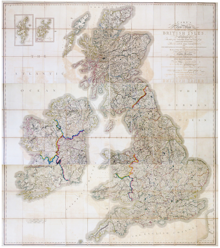
1819ref. LBW-6802London, John Cary, 1819-1833. En trois feuilles coupées en 30 sections chacune, montées sur toile et pliées, pouvant être jointes pour former une carte de 1,91 x 1,71 m ; plats au dos de percaline prune, protégeant les feuilles une fois repliées, avec vignettes portant les titres de North, Center et South ; sous étui de percaline prune avec vignette de titre sur le premier plat.
1798ref. LBW-7687[Paris, P.G. Chanlaire et E. Mentelle, An six de la République - 1798]. 343 x 448 mm.
1765Primo stato di questa non comune carta del mondo del XVIII secolo, successivamente ristampata nel 1775 e 1787. La carta mostra le numerose esplorazioni del secolo ed è altamente decorativa. La carta è largamente più conosciuta per la sua comune ristampa del 1787, curata dall'editore Louis Joseph Mondhare, che raffigura la scoperta delle Hawaii (Isole Sandwich o Why, come indicato sulla mappa), le esplorazioni nella costa nord-occidentale dell'America e quelle dei viaggi di Cook (1773,1775, 1776, 1777, 1777, 1778), Jean Baptiste Louis Clouet era membro dell'Accademie Royale des Sciences di Rouen e fu autore della Geographie Moderne (1767). Acquaforte, in ottimo stato di conservazione. Magnifico esemplare in piena coloritura coeva. First state of this uncommon World map with the major 18th century explorers. Rare separately published double hemisphere map of the world, issued by Clouet in Paris. The map is largerly known for his second and common issue by Louis Joseph Mondhare (1787) showing the discovery of Hawaii (Ile Sandwich ou Why, as named on the map) and explorations in the Northwest Coast of America are quite prominent, and the major 18th century explorers like Cook (1773,1775, 1776, 1777, 1778). Jean Baptiste Louis Clouet (born 1730) was a member of the Academie Royale des Sciences de Rouen and the author of Geographie Moderne (1767). Etching with full contemporary colour, very good conditions.
1787ref. LBW-8256Versailles, Blaizot Libraire du Roy et de la Reine, et Paris, de La Marche, 1787. 590 x 977 mm.
1775ref. LBW-89281775. En 4 feuilles jointes formant une carte de 1,12 x 1,29 m.
1802ref. LBW-8218Paris, [circa 1802]. En 28 sections montées sur toile et repliées, formant une carte de 1,08 x 1,32 m ; sous étui de papier avec pièce de titre bleue.
1730ref. LBW-41561730. 600 x 905 mm.
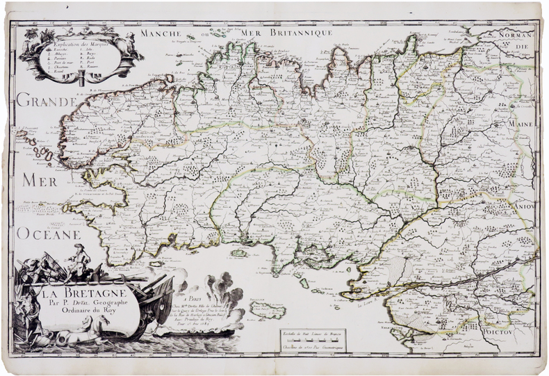
1689ref. LBW-7367Paris, Mlle du-Val, 1689. 364 x 577 mm.
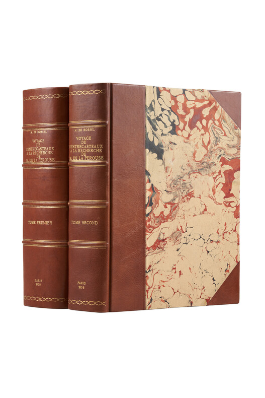
1808ref. PHO-1626Paris, Imprimerie impériale, 1808. 2 grands et forts volumes in-4 (32x24), lvi, 704 p., 33 pl. ; viii, 692 p., relié demi basane et coins moderne, dos avec auteur, titre, tomaison, lieu et date, exlibris en page de garde, non rogné, tome 2 non coupé, petite mouillure au tome 2, petites rousseurs aux illustrations du tome 1. Exemplaire sur papier bleuté, complet de son illustration mais sans son atlas de cartes
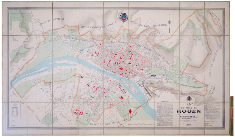
1889ref. LBW-80761889. En 36 sections montées sur toile et repliées, formant un plan de 1,18 x 1,94 m ; étiquette au dos de l'éditeur parisien Lanée, successeur de Longuet ; sous chemise et étui de papier marbré de l'époque, avec pièce de titre rouge au dos.
ref. LBW00284St. Gallen J.B. Isenring circa 1840 400 x 490 mm.
1657Grande pianta della città stampata su due fogli, ispirata alla celebre carta del Pirro Ligorio del 1561.Questa straordinaria ricostruzione di Roma durante il regno di Augusto, arricchita da una cospicua legenda con 269 richiami, costituisce il lavorò più ambizioso contenuto nel Civitates Orbis Terrarum, del quale oltretutto è una delle sole tre mappe a doppio foglio. Incisione in rame, finemente colorata a mano, in eccellente stato di conservazione. Opera tratta dal "Theatrum praecipuarum urbium" celebre teatro delle città del Janssonius, sullo stile del "Civitates Orbis Terrarum" di Braun & Hogenberg. La raccolta, pubblicata ad Amsterdam tra il 1652 ed il 1657, contiene 500 tavole raffiguranti città di ogni parte del mondo. Contrariamente al lavoro degli acerrimi rivali Blaeu, Janssonius si servì per la realizzazione dell'opera delle lastre di precedenti cartografi ed editori. In particolare nel 1653 egli acquisto da Abraham Hogenberg le lastre del "Civitates orbis Terrarum" che incorporò nella sua opera, ristampandole, con alcune modifiche. Per le piante delle città olandesi, ordinò delle nuove lastre basate sull'atlante che Johannes Blaeu diede alla luce nel 1649. Per molte delle opere contenute nel 5° volume, quello dedicato all'Italia e denominato "Theatrum celebriorum urbium Italiae..", si servì delle lastre realizzate da Jodocus Hondius per l'opera "Italia Hodierna.." del 1627. Nella pianta di Roma antica cambia il decoro del cartiglio in alto, mentre in basso ai lati del cartiglio sono aggiunte dei personaggi. Incisione in rame, finemente colorata a mano, in ottimo stato di conservazione. Map of the city printed on two sheets, inspired by the famous work by Pirro Ligorio, printed by Michele Tramezzino in 1561. This extraordinary reconstruction of Rome during the reign of Augustus, enriched by a conspicuous legend with 269 references, constitutes the most ambitious work contained in the Civitates Orbis Terrarum, of which it is one of only three double-sheet maps. Work taken from the "Theatrum praecipuarum urbium" famous theatre of the cities of Janssonius, in the style of Braun & Hogenberg's "Civitates Orbis Terrarum". The collection, published in Amsterdam between 1652 and 1657, contains 500 plates depicting cities from all over the world. Janssonius used the plates of previous cartographers and publishers to create the work. In particular, in 1653 he bought the plates of the "Civitates orbis Terrarum" from Abraham Hogenberg, who incorporated them into his work and reprinted them with some modifications. For many of the works contained in the 5th volume, the one dedicated to Italy and called "Theatrum celebriorum urbium Italiae...", he used the plates made by Jodocus Hondius for the work "Italia Hodierna..." of 1627. In the map of ancient Rome the decoration of the cartouche at the top changes, while at the bottom at the sides of the cartouche are added characters. Copper engraving, finely coloured by hand, in excellent condition.