South Africa - SüdafrikaAntiquariat.de

12,201 results
1940ref. 24914Johannesburg, 1940-1958. Das Konvolut bestehend aus 4 geografischen Karten: Map of Cape Town, 1948 / Tourist Map of Johannesburg,1951 / Map Your Holiday in South Africa (2 Ex.) und aus 7 Broschüren: Visit the Home of the White Rhino, Historic Pretoria, Sauk, Heart Vol. 4, 1949, Reports on the State of South Africa, 1958, South Africa - Land of Contrast, Pretoria. Good condition.
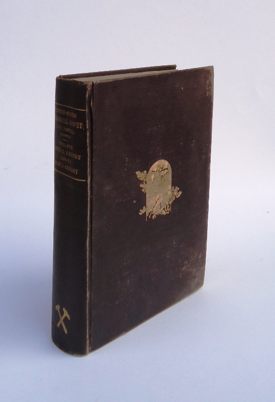
1891ref. 5664Washington, Government Printing Office, 1891. 4°. With many plates, illustrations and maps, 6 folding pocket maps. 675 pp. Original gold stamped cloth. Mit zahlreichen Tafeln, Textabbildungen und Karten, 6 Faltkarten in Anhangtasche. Orig.-Leinen mit Deckelvergoldung, Rückengoldprägung. - Content: The origin and nature of soils; The lafayette formation; The north american continent during cambrian time; The eruptive rocks of electric peak and sepulchre mountain, yellowstone national park etc. Binding scratched. Einband berieben.
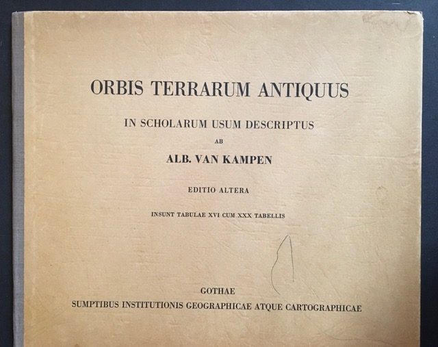
1964ref. 15649BBGotha, Haack, (1964). 4°. 1 Bl. 16 Seiten mit farbigen Karten. Orig.-Halbleinenband., 15649bb Einbanddeckel mit leichten Gebrauchsspuren.
1977ref. 63205Fontainebleau. Editions "Mise au Poing". 1977. 61 Seiten. Mit zahlreichen Abbildungen. Ill. Originalbroschur. (Etwas fleckig. Private Widmung auf dem Titelblatt). 25x20 cm
1987ref. 129348Edinburgh. John Bartholomew & Son Limited 1987. LV, (1) pages and 123 mapgs in colour and 228 pages. Bound in full black leather; gilt decorated spine and top board; silk moire end papers: all edges gilt. Good condition. Ca. 46x31x5 cm
1960ref. 140162Köln: Dumont 1960. unpaginiert. 25,5*35 cm (quer). OHalnleinenband.
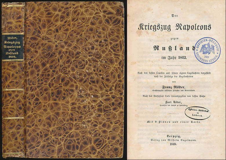
1848ref. 6469DBLeipzig, Verlag von Wilhelm Engelmann, 1848. 8°. 21 cm. XXX, 567 Seiten, X Blatt. Pappband der Zeit, gebunden. Mit goldgeprägtem Rückentitel.
1865ref. 8064DBBerlin, Druck und Verlag von F. G. Mittler und Sohn, 1865. 8°. 22 cm. 54 Seiten. Einfacher Halblederband der Zeit.
1980ref. 135Hanau Dausien, 1980. 239 S. mit vielen tlw. farb. Abb. 8° Oln Ou
1839ref. 4673London, G. F. Cruchley, 1839. ca. 71 x 70 cm große Karte in 28 Segmenten, Decke mit aufkaschiertem marmoriertem Papier. Zustand 2, Ränder etwas bestoßen, Leinen einige nicht durchschlagende Flecken, dekorativer kartenrand wenige Fleckchen, aufkaschierte Verlagsanzeige auf Rückseite eines Segmentes.
1959ref. 4624Guayaquil, Publicistas, 1959. Mehrfach gefaltete Farbkarte.
ref. 4647ohne Ort, Rand McNally (ohne Jahr). Mehrfach gefaltete Straßenkarte.
1967ref. 1426BBLondon Spring Books 1967. 4° 80 S + 83 taf. m. Kart. OPp. m. O.Umsch. Umsch. minim. berieb. sonst Buch sehr gut. Zust. Sprache: englisch
ref. 43179ABEdinburgh u. London, W. Blackwood, o.J. Gr.-8°. 1 mehrfachgef. Kte. a. Leinwand gezogen. Leinwand. Vergold. Deckeltitel. Cloth. Gilt title on spine. Stark ber. u. best. Stock- u. fingerfl. Rubbed and bumped. Foxed and stained.
1940ref. 1169Berlin, Deutscher Verlag 1940. 110 x 79 cm, (aus der propagandistischen Beschreibung des Deutschen Reiches": Völkischer Einheitsstaat, aufgebaut und geleitet nach dem Führergrundsatz. Nach 1000jähriger Zersplitterung von Adolf Hitler geeint.) Leichte altersbedingte Gebrauchsspuren, sonst gut.
1971ref. 10980Bartholomew, Edinburgh 1971. Farbige gefaltete Karte. Ca. 66 x 86 cm (bxh). Geringe Gebrsp.
2001ref. SBBIH-37Q6CIXWLHBWAutomobile Association 2001. map. Good. Our good condition books are generally good for reading but not for gifting or collecting. They could have imperfections such as creasing fanning inscriptions margin notes yellowing staining on edge or cover or pages bumps scuffs etc etc sometimes multiple of these. It's a wide category that encompasses anything that isn't almost-new down to anything that is slightly better than poor. We would NOT recommend gifting Good books - these should be considered reading copies. Our books are dispatched from a Yorkshire former cotton mill. We list via barcode/ISBN so please note that the images are stock images and may not be the exact copy you receive furthermore the details about edition and year might not be accurate as many publishers reuse the same ISBN for multiple editions and as we simply scan a barcode or enter an ISBN we do not check the validity of the edition data when listing. If you're looking for an exact edition please don't order at least not without checking with us first although we don't always have time to check. We aim to dispatch prompty the service used will depend on order value and book size. We can ship to most countries see our shipping policies. Payment is via Abe only. Automobile Association unknown
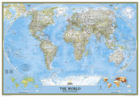
2012ref. BN200358National Geographic Maps 2012. 2012. World Classic Enlarged & Tubed World Classic Enlarged & Tubed National Geographic Maps National Geographic Maps unknown
ref. 1597755567-7-1National Geographic Maps. 2013. Acceptable. The item might be beaten up but readable. May contain markings or highlighting as well as stains bent corners or any other major defect but the text is not obscured in any way. National Geographic Maps unknown
ref. BN330515Editions du BRGM. Carte géologique : Les côtes de France Carte géologique : Les côtes de France Cartes BRGM Editions du BRGM unknown
ref. BN328198Michelin Editions des Voyages. Carte routière : Isère N°4038 Carte routière : Isère N°4038 Cartes Michelin Michelin Editions des Voyages unknown
2022ref. BN348216PopOut Maps 2022. 2022. Bath PopOut Map PopOut Maps Bath PopOut Map PopOut Maps Maps PopOut PopOut Maps unknown
2011ref. BN341322Collins 2011. 2011. Discovering Dublin Illustrated Map Collins Travel Guides Discovering Dublin Illustrated Map Collins Travel Guides Maps Collins Collins unknown
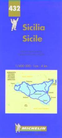
1997ref. BN438239Michelin Editions des Voyages 1997. 1997. Carte routière : Sicile N° 432 Carte routière : Sicile N° 432 Cartes Michelin Michelin Editions des Voyages unknown
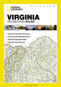
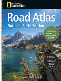
ref. ANAIS-1566959896National Geographic Maps 2026-06-01. 2026. paperback. Good. 9.5X6.5X1.5. Buy with confidence. Excellent Customer Service & Return policy. National Geographic Maps paperback