MAUGENDRE (Adolphe).Livre Rare Book
12,235 results
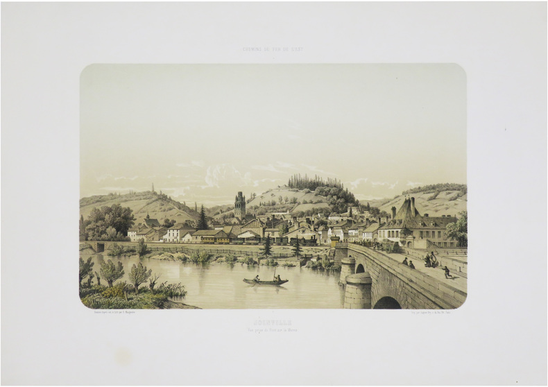
1857ref. LBW-9008Paris, Auguste Bry, [1857]. 280 x 380 mm.
1842ref. LBW-8857London, F.G. Moon, 1842. 513 x 335 mm.
1806ref. LBW-7745Paris, P.G. Chanlaire et Veuve Dumez, [1806]. 508 x 579 mm.
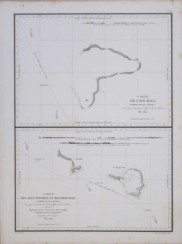
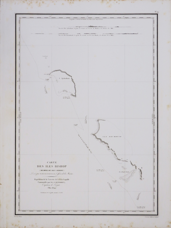
1845ref. LBW-7689[Paris], Dépôt-Général de la Marine, 1844 [1845]. 600 x 423 mm.
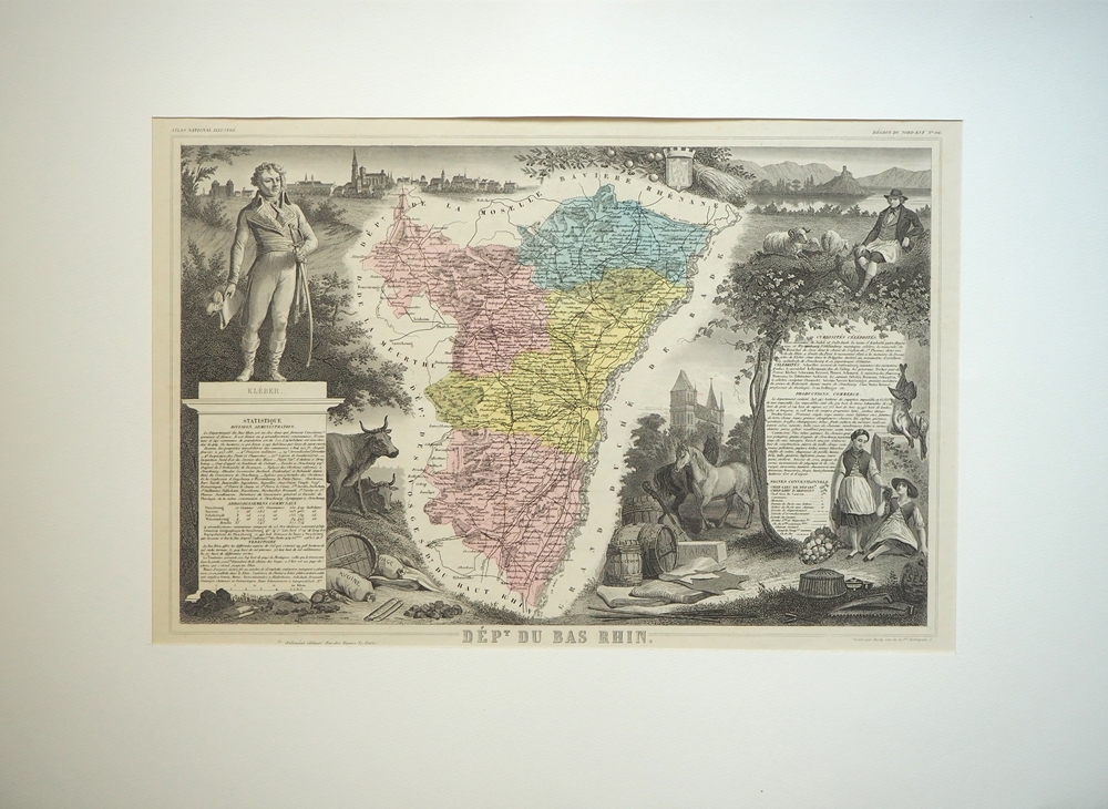
1865ref. 88392Paris, Pelissier, [ca. 1865]. Darstellung 30 x 44 cm, Blattmaß 51 x 35 cm. Unter Feinkartonpassepartout.
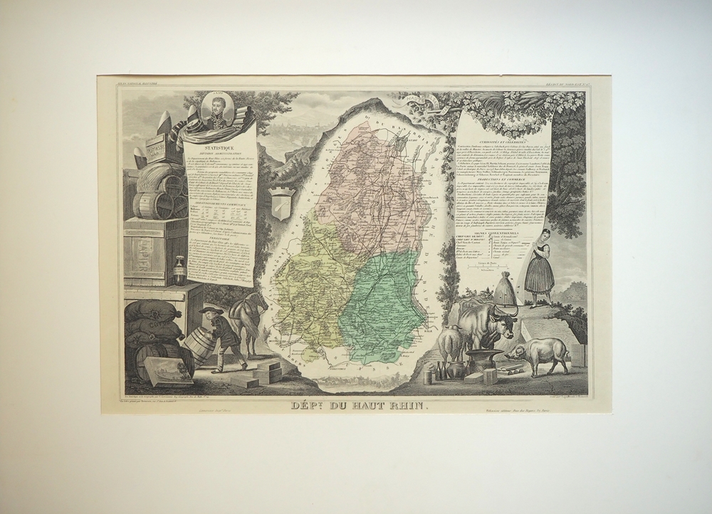
1865ref. 88386Paris, Pelissier, [ca. 1865]. Darstellung 30 x 44 cm, Blattmaß 51 x 35 cm. Unter Feinkartonpassepartout.
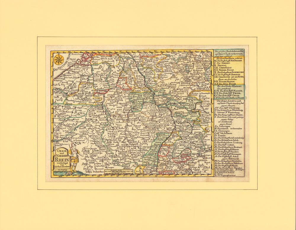
1749ref. 78867Leipzig, J. G. Schreiber, 1749. Grenzkolorierter Kupferstich mit partiellem Flächenkolorit. Mit alter hs. Nummerierung im ob. weißen Rand. Plattenmaß 18 x 27,5 cm. (= Aus: Atlas Selectus von allen Königreichen und Ländern der Welt...). Hinter Passepartout (mit Laugenstreifen montiert).
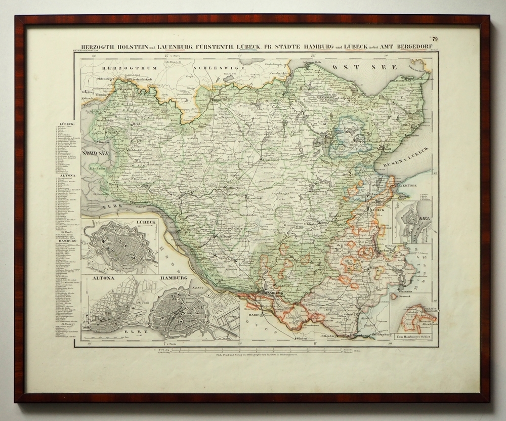
1865ref. 97900Hildburghausen, Bibliographisches Institut, [ca. 1865]. Bildgröße: 31 x 38 cm. Im Mahagonirahmen, unter Mattglas (38,5 x 47 cm).
1775ref. LBW-1275[1775-1781]. 670 x 485 mm.
1827ref. LBW-4443[1827]. 504 x 361 mm.
1827ref. LBW-4442[1827]. 498 x 351 mm.
1782ref. LBW-5810[1782]. 172 x 221 mm.
1912Very Good German Original color map on cloth. Oblong atlas folio. (48 x 63 cm). In Latin, Greek and German. Toponyms are Turkish in Latin transcription script as well as their ancient names in Roman and Greek. Including Afiun Karahisar [Afyonkarahisar] and its south and southwest area. Ascanius Lavus, Djemal Bey Tschiftligi, Macropedium, Asi Karaaghatsch, Denizli, Cretopolis, Sozopolis, Isparta, Tabenerum Campus, Hynera (Cydrara), Anaua Lacus (Adji Tuz Gölü), Ishikli Eumenia, Panasium (Banas Ovasi i.e. Plain), etc. It's one of the 24 sheets of 'Karte von Kleinasien'. Rihard Kiepert was a German cartographer born in Weimar. He was the son of famed geographer Heinrich Kiepert. Richard Kiepert studied geography and history in Berlin and Heidelberg. In 1870, he traveled in Palestine and Asia Minor, returning to take part in the Franco-Prussian War. In 1874, he received his doctorate of philosophy at the University of Jena. From 1874 until 1878 he worked on the compilation of Ferdinand von Richthofen's atlas of China, and from 1875 to 1887, he was editor of the geographical periodical Globus. From 1902 until 1908 he worked on the Spezialkarte von Kleinasien, a map of Asia Minor that was created on a 1:400,000 scale. After his father's death in 1899, he continued the work on the elder Kiepert's classic Formae Orbis Antiqui.
1794ref. LBW002c2[1794]. 216 x 308 mm.
1760ref. LBW-2269vers 1760. 193 x 277 mm.
1572ref. LBW-1442[Venise, 1572]. 157 x 210 mm.
1843ref. LBW-8255[Paris], Dépôt-Général de la Marine, 1843. 618 x 910 mm.
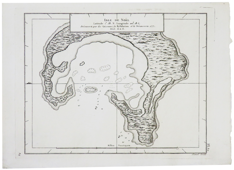
1761ref. LBW-8976[Londres, Thomas Jefferys, 1761]. 188 x 245 mm.
1792ref. LBW-5709Dépôt des Cartes, Plans et Journaux de la Marine et des Colonies, 1792-1883. 585 x 436 mm.
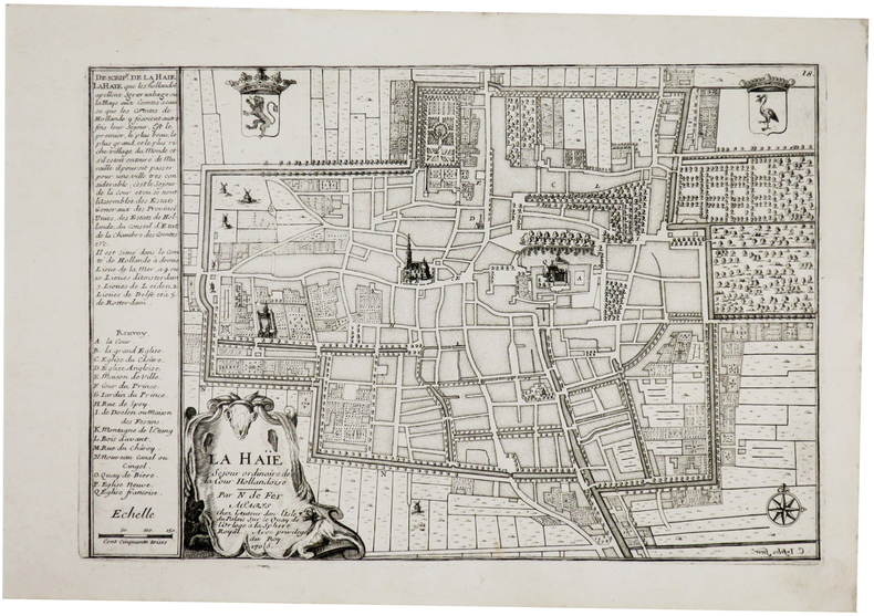
1705ref. LBW-6120Paris, chez l'auteur, 1705. 223 x 332 mm + feuillet de texte descriptif.
1789ref. 21327Paris 1789 carte d'époque entoilée sur une toile bleue repliée format 31,5 x 24,5 cm, format déplié : 61 x 93 cm, gravée en noir, [Paris] : [s.n.], 1789
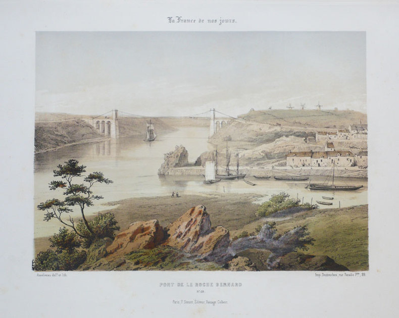
1855ref. LBW-891Paris F. Sinnett circa 1855 242 x 280 mm.
1879ref. LBW-5750Dépôt des Cartes et Plans de la Marine, 1879-1889. 614 x 915 mm.
1810ref. LBW-8128Paris, [circa 1810]. En 21 sections montées sur toile et repliées, formant une carte de 606 x 917 mm ; étiquette au dos de l'éditeur parisien J. Goujon, portant le titre "La Rochelle" et le numéro en manuscrit.
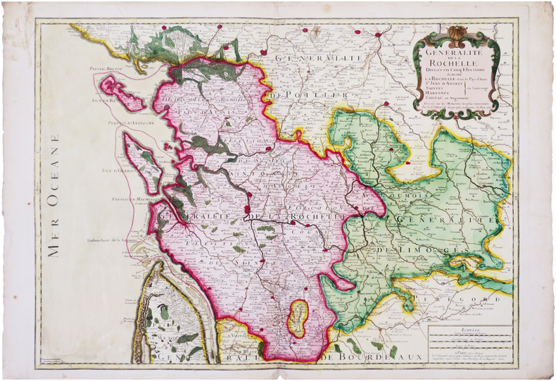
1722ref. LBW-8035Paris, chez l'auteur, 1722. 507 x 703 mm.