LEVASSEUR (Victor).Livre Rare Book
12,235 results
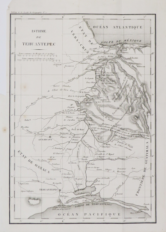
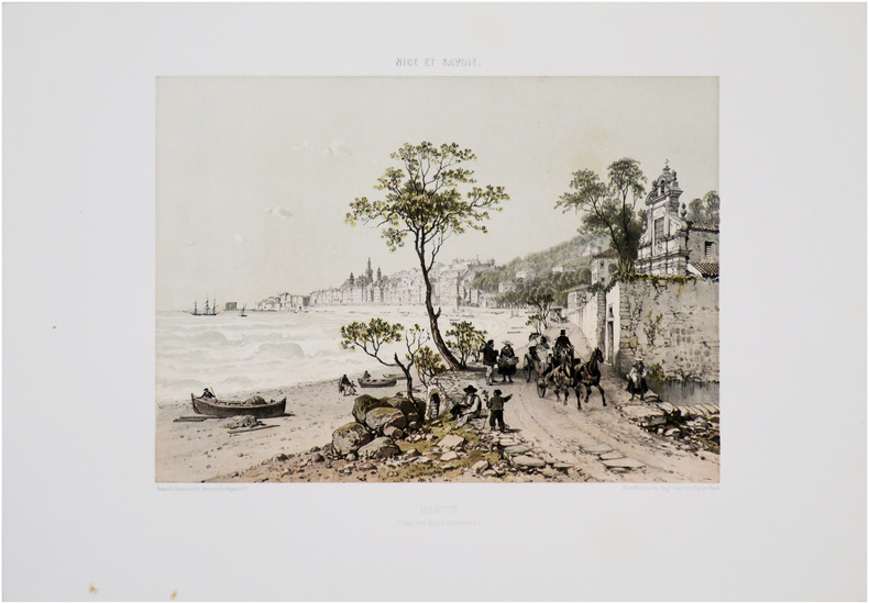
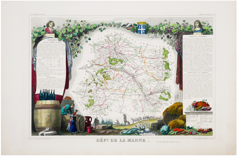
1849ref. LBW-6969Paris, [1849]. 288 x 418 mm.
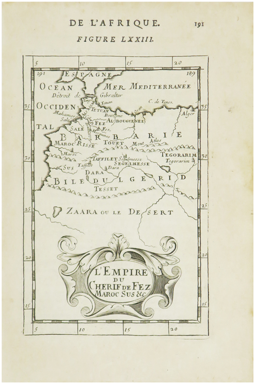
1683ref. LBW01b47[1683]. 153 x 102 mm.
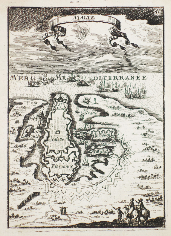
1683ref. LBW-2310[1683]. 140 x 100 mm.
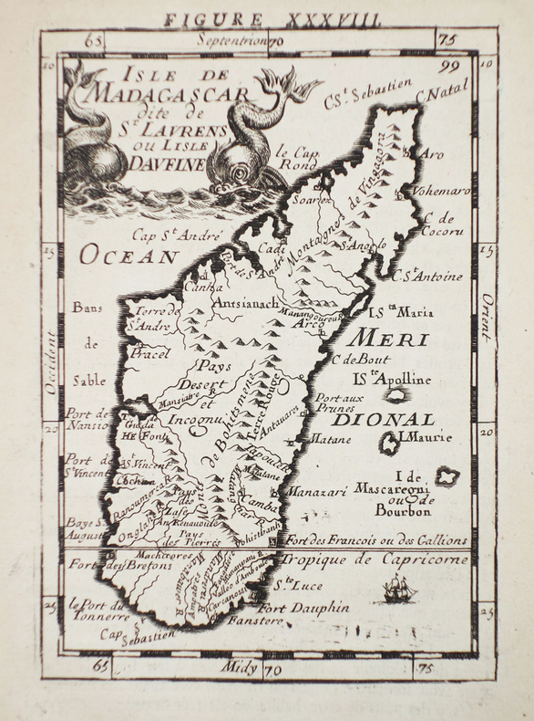
1683ref. LBW-2311[1683]. 140 x 99 mm.
1683ref. LBW-2312[1683]. 140 x 98 mm.
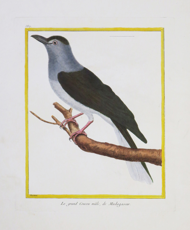
1771ref. LBW-4331[Paris, 1771-1786]. 234 x 181 mm.
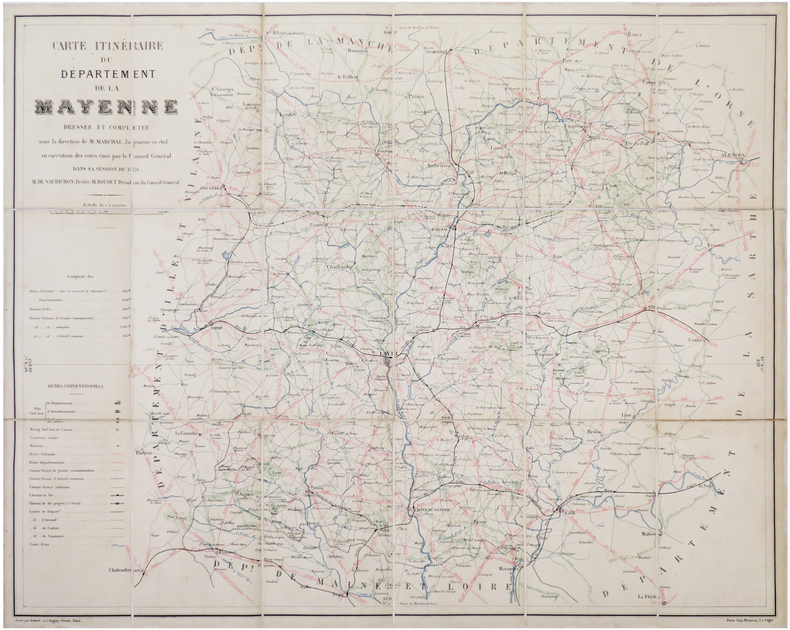
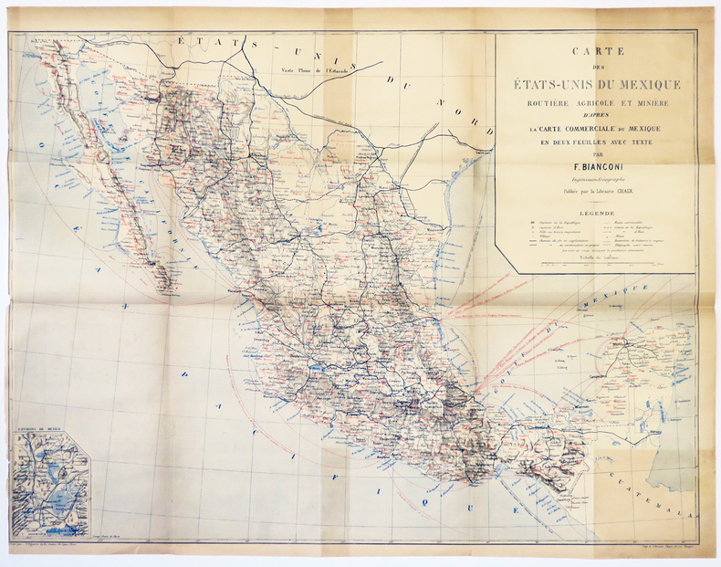
1876ref. LBW-70261876. En 18 sections montées sur toile et reliées, formant une carte de 569 x 712 mm ; titre manuscrit au dos.
1868ref. LBW-8312[Paris], Dépôt des Cartes et Plans de la Marine, 1868-1889. 622 x 944 mm.
1874ref. LBW-8313[Paris], Dépôt des Cartes et Plans de la Marine, 1874-1887. 925 x 620 mm.
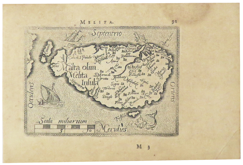
1598ref. LBW-5386[Anvers, 1598]. 80 x 107 mm.
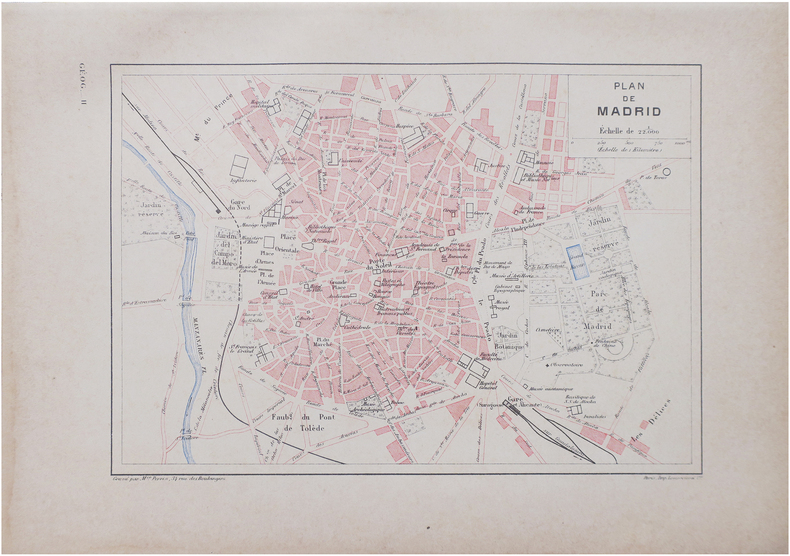
1890ref. LBW-8642Paris, [1890]. 160 x 226 mm.
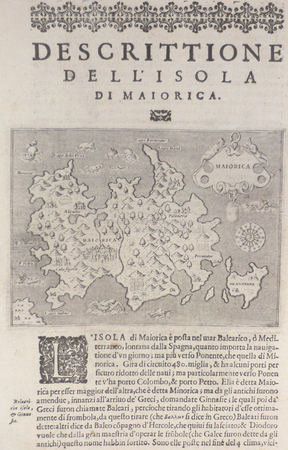
1576ref. LBW004f8Venise 1576 104 x 143 mm.
1700ref. LBW-5388[1700]. 204 x 301 mm.
1896ref. LBW-2868London, Edward Stanford, [1896]. 322 x 406 mm.
1840ref. LBW-3678[1840]. 219 x 322 mm.
1843Very Good English Original map. Oblong folio. (36 x 43 cm). In English. [MAP of TURKEY in EUROPE] Turkey I; Containing the Northern provinces. Published under the Superintendence of the Society for the diffusion of useful knowledge. Engraved by J. & C. Walker. It shows Turkish / Ottoman provinces in Europe from Thrace to the southern borders of Hungary, Bessarabia and Transylvania at north, Adriatic shores at west, Black Sea coasts at east including Croatia, Hertsek, Zwornik, Semendri, Ieni Bazar, Krukhovatz, Widdin, Nikopoli, Wallachia, Sophia, Chirman, Kirkliseh, Wisa, Gallipoli, Ghiustendil, Skitari Ochrida, etc. A very detailed map.
17801st Edition. 10 X 13 inch Copper Etching with Colored Outline. In French. Title translates into English as, Map of the Holy Land of the Twelve Tribes Of Israel. Rigobert Bonne (17271794) was one of the most important cartographers of the late 18th century In 1773 Bonne succeeded Jacques Nicolas Bellin as Royal Cartographer to France in the office of the Hydrographer at the Depôt de la Marine. Working in his official capacity, Bonne compiled some of the most detailed and accurate maps of the period. Bonnes work represents an important step in the evolution of the cartographic ideology away from the decorative work of the 17th and early 18th century towards a more detail oriented and practical aesthetic. With regard to the rendering of terrain Bonne maps bear many stylistic similarities to those of his predecessor, Bellin. However, Bonne maps generally abandon such common 18th century decorative features such as hand coloring, elaborate decorative cartouches, and compass roses While mostly focusing on coastal regions, the work of Bonne is highly regarded for its detail, historical importance, and overall aesthetic appeal. (Wikipedia, 2017) This map depicts the important settlements, as well as the regions of the twelve tribes. The Mediterranean coast reaches from Gaza in the south to Sidon in the north. Map spills over
1829ref. LBW-4791[1829]. 287 x 201 mm.
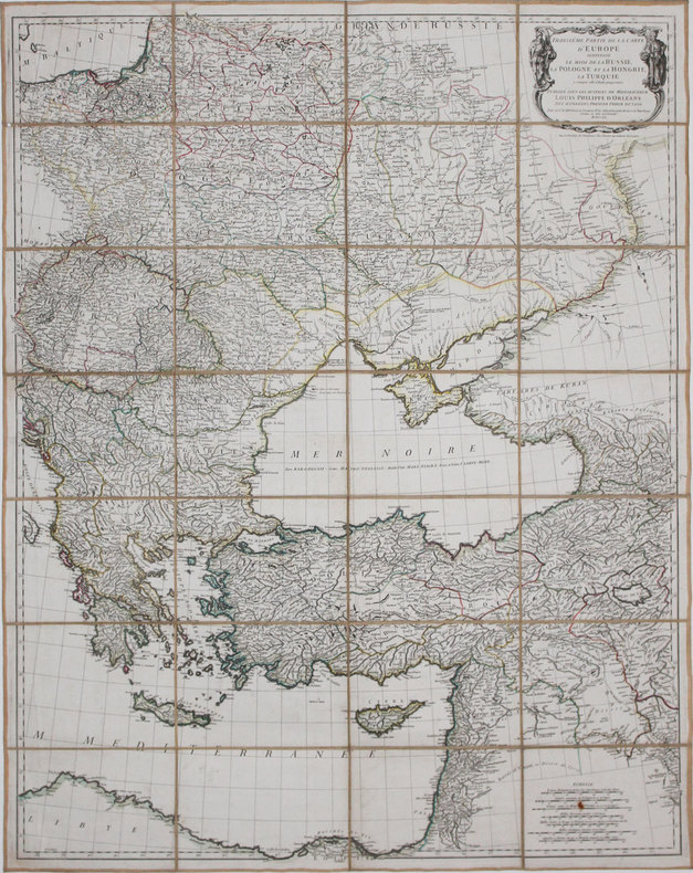
1760ref. LBW-36921760. En 28 sections montées sur toile et pliées, formant une carte de 0,85 x 1,07 m.
1754ref. LBW024851754 197 x 293 mm.
ref. LBW02e5fcirca 1760 228 x 332 mm.
1863ref. LBW-7555Nantes, Charpentier, [1863]. 262 x 316 mm.
1889ref. LBW-5035[1889]. 460 x 620 mm.
1704ref. LBW00282Amsterdam Pierre Mortier 1704 414 x 522 mm.