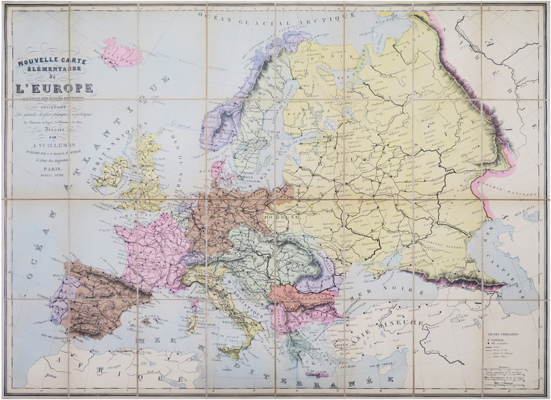
VUILLEMIN (Alexandre).Livre Rare Book
12,289 results
1900ref. LBW-8465Paris, V.P. Marin, [vers 1900]. En 32 sections montées sur toile et repliées, formant une carte de 0,85 x 1,14 m ; étiquette au dos de l'éditeur Maison Logerot V. P. Marin.
1861ref. 42461861 carte en couleurs entoilée, repliée petit in-octavo, dépliée in-folio, 30 compartiments, 1861 Paris chez Fatout,
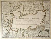
1723ref. 54819Rainer Ottens. 1723. A most attractive map with early outline hand colour vertical fold barely visible diagonal crease upper half of map few very pale small brown spots otherwise a clean and bright image. Numbering in red pencil few annotations in pencil and light number stamp on reverse however not at all visible from front of map or affecting image. Sheet measures 46.6 x 60.2cm. . Rainer Ottens. unknown
1819ref. 1405618Paris: Menard et Desenne 1819. Dernière édition. Hardcover. Octavo 684 pages. In Fair minus condition. Spine is tan with gold print on red banner. Boards half bound with green leather to spine and corners and green cloth to boards; corner leather not present spine leather is toned with some rubbing and wear to hinges board cloth has worn edges rubbing shelf wear. Text block has deckle edges; cracked front hinge foxing and toning throughout. Illustrated: “Enrichie de sept Cartes géographiques conformes aux nouvelles divisions et ornée des Pavillons des vingt principales Puissances maritimes”— title page; however illustrations may not be present. Text in French. NOTE: Shelved in Netdesk Column W. 1405618. FP New Rockville Stock. Menard et Desenne hardcover
1819ref. 1405618Paris: Menard et Desenne 1819. Dernière édition. Hardcover. Octavo 684 pages. In Fair minus condition. Spine is tan with gold print on red banner. Boards half bound with green leather to spine and corners and green cloth to boards; corner leather not present spine leather is toned with some rubbing and wear to hinges board cloth has worn edges rubbing shelf wear. Text block has deckle edges; cracked front hinge foxing and toning throughout. Illustrated: “Enrichie de sept Cartes géographiques conformes aux nouvelles divisions et ornée des Pavillons des vingt principales Puissances maritimes”— title page; however illustrations may not be present. Text in French. NOTE: Shelved in Netdesk Column W. 1405618. FP New Rockville Stock. Menard et Desenne hardcover books
ref. 0483222895.Gpaperback. Good. Access codes and supplements are not guaranteed with used items. May be an ex-library book. paperback
1968Une feuille 55x78 cm en pochette.
1784Paris, Dezauche, (1784). (58 x 87 cm.). Engraved map of Metz. A few small closed marginal tears to paper, not reaching image. A tear to lower part (3 cm) repaired on verso, no loss of image.
1708Pianta a proiezione mista, orientata con il nord a sinistra, 1706 circa. Basata sula pianta di Roma di Lievin Cruyl del 1665 e successiva ristampa del 1696. Per Scaccia Scarafoni prima e Marigliani poi “fu pubblicata ad Amsterdam nel 1706 senza alcun aggiornamento e raffigura pertanto Roma come si presentava alla fine del ‘600. In alto a sinistra è riportata la piantina dei dintorni di Roma” (cfr. Marigliani p. 252). La pianta è inclusa nell'Atlas Historique, pubblicato ad Amsterdam tra il 1705 e il 1720. L'atlante, in 7 volumi, è innovativo per la sua epoca perché combina le mappe geografiche con incisioni e informazioni di carattere geografico, storico, etnografico e araldico. Acquaforte, in ottimo stato di conservazione. Henri Abraham Chatelain (1684 - 1743) era un pastore ugonotto di origini parigine. È meglio conosciuto come cartografo olandese e più specificamente per il suo contributo cartografico nell’Atlas Historique in sette volumi, pubblicato ad Amsterdam tra il 1705 e il 1720. Innovativo per il suo tempo, l'Atlas Historique combinava incisioni e opere d'arte con studi di geografia, storia, etnologia, araldica e cosmografia. Alcuni studiosi suggeriscono che l'Atlas Historique non fu compilato esclusivamente da Henri Chatelain, come si crede comunemente, ma piuttosto fu un'impresa familiare che coinvolse Henri, suo padre Zacharie e suo fratello, sempre Zacharie. Bibliografia Scaccia Scarafoni (1939): p. 113, n. 213; Marigliani (2007): p. 252, n. 158. Mixed projection map of Rome, oriented with north to the left, circa 1706. Based on the map of Rome by Lievin Cruyl (1665) and subsequent reprint of 1696. For Scaccia Scarafoni first and then Marigliani was published in Amsterdam in 1706 without any update and therefore represents Rome as it was at the end of '600. At the top left is the map of the surroundings of Rome (see Marigliani p. 252). The map is included in the Atlas Historique, published in Amsterdam between 1705 and 1720. Henri Abraham Chatelain (1684 - 1743) was a Huguenot pastor of Parisian origins. He is best known as a Dutch cartographer and more specifically for his cartographic contribution in the seminal seven volume Atlas Historique, published in Amsterdam between 1705 and 1720. Innovative for its time, the Atlas Historique combined fine engraving and artwork with scholarly studies of geography, history, ethnology, heraldry, and cosmography. Some scholarship suggests that the Atlas Historique was not exclusively compiled by Henri Chatelain, as is commonly believed, but rather was a family enterprise involving Henri, his father Zacharie and his brother, also Zacharie. Etching, in excellent condition. Literature Scaccia Scarafoni (1939): p. 113, n. 213; Marigliani (2007): p. 252, n. 158.
Broch?. 24 pages et 1 plan d?pliant hors texte
1867- Hachette, Paris 1867, 11x17,8cm, relié. - Collection des guides Joanne. Liste alphabétique des rues de Paris avec également la liste des omnibus et leurs trajets, les prix, les voitures mobiles et autres transports publics. Reliure d'éditeur en pleine percaline violette. Dos lisse muet. Titre et armes de Paris sur le premier plat. Grand plan dépliante de Paris en couleurs. Plusieurs petites déchirures. Bon exemplaire. Le Paris de Napoléon III et de Haussman. Ce plan de Paris a été édité pour l'exposition universelle de Paris de 1867. On lit à la fin du capitre sur les voitures publiques : "Un service spécial, de la place du Palais-Royal au pot d'Iena, aura lieu pendant toute la durée de l'exposition". [ENGLISH DESCRIPTION ON DEMAND]
1946Très beau plan lithographié et plié de 53 cm X 70 cm en couleurs à l'échelle 1/10 000°de la ville de Toulouse . Quelques défauts d'usages sur la couverture mais le plan est parfait .- 1 p. , 250 gr.
1838ref. 4462Paris, Danlos, 1838. auf Leinen aufgezogene Karte mit 30 Randansichten von Paris, Stahlstiche von Ch. Simon, Legende; Hülle stärker bestoßen u. berieben, innen fleckig, Schließband fehlt. 4 x 9 Segmente, marmorierter Pappband mit aufgeklebtem illustrierterm Deckeltitel. Zustand 3, 2 Randansichren Einrisse, minimal fleckig, Leinen leimschattig,
1923ref. 55333Paris: Cartes Taride 1923. Paperback. Very good. Paperback. 139 x 108 cm 55 x 42.5 inches unfolded. Toning to folds with some minor spots of loss else a nice example. Folder worn and lightly chipped but very good. Cartes Taride paperback
Une feuille. 60x80 cm. Couverture d?fra?chie.
1 feuille repli?e 80x60 cm.
1923ref. 55333Paris: Cartes Taride 1923. Paperback. Very good. Paperback. 139 x 108 cm 55 x 42.5 inches unfolded. Toning to folds with some minor spots of loss else a nice example. Folder worn and lightly chipped but very good. Cartes Taride paperback books
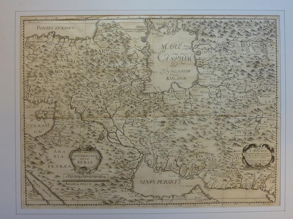
1659ref. 78854( 1659]. 39,5 x 53,5, Blattgröße 41 x 55,5. Unter weißem Passepartout mit schwarzer Linieneinfassung.
Une feuille repli?e. 65x85 cm. Petits d?fauts.
1861Dressée et gravée par Ch. Gavard, 1 carte coloriée format 62,5 x 88,5 cm, Chez A. Bes et F. Dubreuil, Paris, 1861 Jolie carte encadrée de 20 vignettes. Etat satisfaisant (qq. mouill. et petites fentes en pliures) Français
ref. 0282689079.Gpaperback. Good. Access codes and supplements are not guaranteed with used items. May be an ex-library book. paperback
ref. 0282579060.Gpaperback. Good. Access codes and supplements are not guaranteed with used items. May be an ex-library book. paperback
1700ref. A113S.l., Matthaei Seutteri & G. August, s.d. (vers 1700) ; 490/585 mm, 1 pp., une feuille. Coloriée d’époque. Autriche. Bon état.
1658ref. LBW-2739[Amsterdam, 1658]. 432 x 539 mm.
1653Carta storico/geografica tratta dall'atlante di Georgius HORNIUS "Accuratissima orbis antiqui delineatio sive Geographia vetus sacra & profana", per la prima volta edito nel 1653. Le carte derivano da quelle di Ortelius, pubblicata nel "Parergon". Johannes Janssonius, figlio dell'editore di Arnhem Jan Janssen, sposò Elisabeth Hondius, figlia di Jodocus Hondius, ad Amsterdam nel 1612. Dopo il suo matrimonio, si stabilì in questa città come libraio ed editore di materiale cartografico. Nel 1618 si stabilì ad Amsterdam accanto alla libreria di Willem Jansz. Blaeu, entrando in una seria competizione. Le sue attività non riguardavano solo la pubblicazione di atlanti e libri, ma anche di mappe singole e un vasto commercio di libri con filiali a Francoforte, Danzica, Stoccolma, Copenaghen, Berlino, Koningsbergen, Ginevra e Lione. Nel 1631 iniziò a pubblicare atlanti insieme a Henricus Hondius. Nei primi anni 1640 Henricus Hondius lasciò l'attività di pubblicazione di atlanti completamente a Janssonius. La concorrenza con Joan Blaeu, figlio e successore di Willem, nella produzione di atlanti spinse Janssonius ad ampliare il suo Atlas Novus finalmente in un'opera di sei volumi, in cui furono inseriti un atlante marino e un atlante del Vecchio Mondo. Dopo la morte di Joannes Janssonius, il negozio e la casa editrice furono continuati dagli eredi sotto la direzione di Johannes van Waesbergen (c. 1616-1681), genero di Joannes Janssonius. Le matrici degli atlanti di Janssonius furono in seguito vendute a Schenk e Valck. Incisione in rame, finemente colorata a mano, in buone condizioni. Map taken from the HORNIUS, Georgius"Accuratissima orbis antiqui delineatio sive Geographia vetus sacra & profana" first published in Amsterdam in 1653. After Ortelius' map published in the "Parergon". Johannes Janssonius (Arnhem, 1588-1664), son of the Arnhem publisher Jan Janssen, married Elisabeth Hondius, daughter of Jodocus Hondius, in Amsterdam in 1612. After his marriage, he settled down in this town as a bookseller and publisher of cartographic material. In 1618 he established himself in Amsterdam next door to Blaeu’s book shop. He entered into serious competition with Willem Jansz. Blaeu.. His activities not only concerned the publication of atlases and books, but also of single maps and an extensive book trade with branches in Frankfurt, Danzig, Stockholm, Copenhagen, Berlin, Koningsbergen, Geneva, and Lyon. In 1631 he began publishing atlases together with Henricus Hondius. In the early 1640s Henricus Hondius left the atlas publishing business completely to Janssonius. Competition with Joan Blaeu, Willem’s son and successor, in atlas production prompted Janssonius to enlarge his Atlas Novus finally into a work of six volumes, into which a sea atlas and an atlas of the Old World were inserted. After the death of Joannes Janssonius, the shop and publishing firm were continued by the heirs under the direction of Johannes van Waesbergen (c. 1616-1681), son-in-law of Joannes Janssonius. The copperplates from Janssonius’s atlases were afterwards sold to Schenk and Valck. Copperplate with fine later hand colour, in good conditions.