LECAMUS.Livre Rare Book

12,228 results
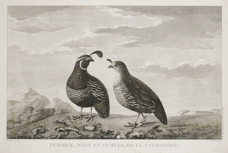
ref. LBW03d61Paris, Benard, [circa 1850]. 203 x 286 mm.
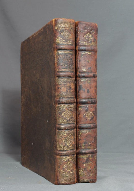
1731ref. 8782Paris, F. G. Quillau, 1731. 2 volumes grand in-4 de [2]-VIII-XXIV-478-[4] et [2]-VI-524 pages, pleine basane brune, dos à nerfs épidermés, manque la coiffe inf. du second volume. Rousseurs et brunissures.
1951Feuille repli?e.
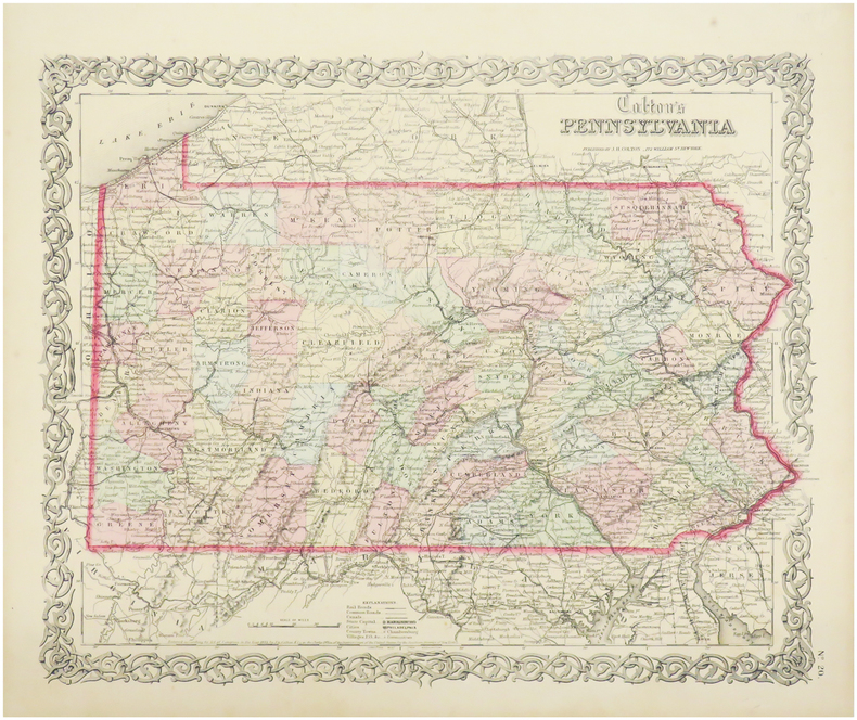
1860ref. LBW-5148Paris, E. Andriveau-Goujon, 1860. 460 x 582 mm.
1941ref. 27861Couverture rigide. Reliure demi-basane. 269 pages. Cachets.
ref. lc_10774Institut Geographique National (décembre 1997)
1991ref. AUB-7896Editions du Ruau 1991. Bel exemplaire relié, cartonnage orné d'éd., in-4, 116 pages avec annexes.
2004No marks or inscriptions. A very clean very tight copy with unmarked black cloth boards and no bumping to corners. Dust jacket not price clipped or marked or torn or creased with minor traces of storage. 406pp. History of the Scottish Isle of Islay and its whisky. The Island is home to seven of the world's most widely admired malt whisky distilleries on its shores and this study provides a most detailed analysis of Scotch malt whisky production. Maps on end papers.
1855ref. LBW0358cNew York, 1855. 330 x 405 mm.
ref. 29950S.l., Wesmael-Charlier, 1980 Broche, couvert. illustr., 166pp., 20x27cm., ills. en n/b., bon etat, dos peu ambime.
1864ref. LBW03584New York, 1864. 435 x 601 mm.
1876ref. LBW-8946Neuville-sur-Saône, 1876. 470 x 750 mm ; monté sur carton.
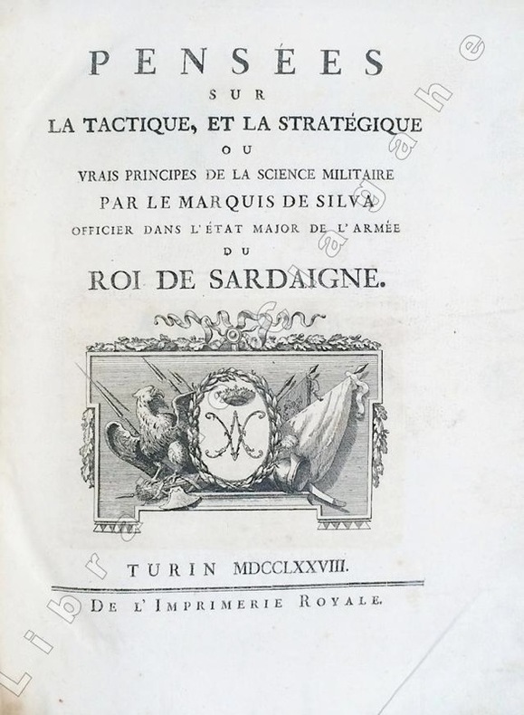
1778ref. 6494Turin, Imprimerie Royale, 1778 ; in-4 ; demi-veau glacé havane, dos à faux-nerfs dorés et palettes décoratives, pièce de titre vert-pistache, tranches mouchetées de bleu (reliure de l'époque) ; (14), 359, (1 bl.) ; (4), 55, (1) pp. et 30 planches gravées dépliantes.SUIVI DE : "CONSIDERATIONS SUR LA GUERRE DE 1769 ENTRE LES RUSSES ET LES TURCS. Nouvelle édition corrigée et augmentée de plusieurs notes historiques."
1930ref. 2083002116200566Oriental Maps Hamura Suzuki 1930. Soft Cover. Fine. The book is in fine condition. Oriental Maps Hamura Suzuki paperback
1987ref. 2090502113715668Not Available 1987. Soft Cover. Fine. The book is in fine condition. Not Available paperback
1797ref. LBW-458[Paris, 1797]. 261 x 399 mm.
1532In -folio, due voll. legati assieme; pp. (68), 504, (4); (40), 334, (2). Legatura in piena pelle alle armi di Felipe Ramirez Nuñez de Guzmán de Medina, nervi e titolo al dorso. Questa di Basilea del ’32 è considerata l’ultima e migliore edizione nel Cinquecento in latino delle Genealogie [...] che si deve all’umanista strasburghese Jakob Moltzer. Notevoli le illustrazioni genealogiche a piena pagina in quest’opera che, in vita, diede fama a Boccaccio, i cui lavori in volgare erano considerati una produzione minore. Rilegato con i Saturnalia e il commentario al Somnium Scipionis, le due maggiori opere di Macrobio nell’edizione di Camerario. Numerose illustrazioni nel testo fra cui l’incisione del planisfero macrobiano, diviso in zone climatiche, che costituì per circa un millennio il modello geografico terrestre: nella prima riproduzione a stampa di questa mappa, del 1483, le linee climatiche erano dritte, qui per la prima volta sono curve e rimandano a un modello di terra sferica e non piatta. This Basilea 1532’s edition is considered the last and the best latin edition in XVI century of “Genealogie”: it’s due to austrian scholar Jakob Moltzer. The full page genealogic illustrations are remarkable; this work gave a reputation to Boccaccio while he was still alive, and whose works in volgare were then considered a less important production. Bound with the “Saturnalia” and commentary to “Somnium Scipionis”, the most important Macrobio’s works in Camerario edition. Many illustrations in text: between them the macrobian world map, divided in climatical areas, that was for about 1000 years the geografic Earth pattern: in the first printed reproduction of this map, from 1483, the climatical lines were straight, while here they are bent and they suggest a spheric Earth model.
Paris, Institut Géographique National, 1946. Entelado y plegado. Muy buen ejemplar.
Engraved map in original outline colour. Flanked by two mounted columns of French text. Very fine map of Arabia by the “Ingénieur-Geographe du Roy” Louis Brion de la Tour (1756-1823) showing Turkey, Palestine, present-day Iraq and Iran, the Caucasus region as well as the Arabian Peninsula. Cf. National Maritime Museum Cat. I, 264. Not in Al Ankary; Al-Qasimi.
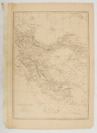
1863ref. 177017London.: Cassell Petter and Galpin. circa1863. Engraved map 43.1 x 30.3 cm 50.7 x 34.5 cm sheet central fold small edge tears one neatly repaired lower corner chipped slight age toning but in very good condition. Impressive large map of Persia Iran by noted map maker Edward Weller in original uncoloured state re-issued by the publisher for inclusion as map 26 in Cassell's Atlas. . Cassell, Petter and Galpin. unknown
Format: 27,5 x 34 cm. Blatt: 32 x 39 cm. Graphiken de
ref. 1865001449.Gmap. Good. Access codes and supplements are not guaranteed with used items. May be an ex-library book. unknown
1835ref. 26317(Paris), Blaisot, 1835. Un fort vol. au format pt in-4 (263 x 182 mm) de 1 titre-frontispice n.fol. et [99] planches gravées sur double-page. Reliure de l'époque d edemi-basane glacée sapin, dos lisse orné de doubles filets dorés, larges fleurons romantiques dorés, titre doré.