Author Not StatedMareMagnum

12,289 results
1950Measures 18"x12". Circa early 1950s. Shows existing and proposed ferry routes. Includes photos of the MV. Chinook and the MV. Kahloke, plus photos of local scenic attractions and related write-ups. Average wear. Unmarked. A nice collectible. Map
ref. 13977785Paris: J.-J. Pauvert, 1967 in-4, 100 pages, illustrations. Broché, couv. défraichie et coins cornés.
38 x 49 cm. (Blatt: 49,5 x 57 cm). *Sauber und sehr gut erhalten. Landkarten de
37 x 48,5 cm. (Blatt: 46 x 56 cm). *Das Bistum Münster. Schönes flächiges Altkoloriit, sauber und sehr gut erhalten, breitrandig. Landkarten de
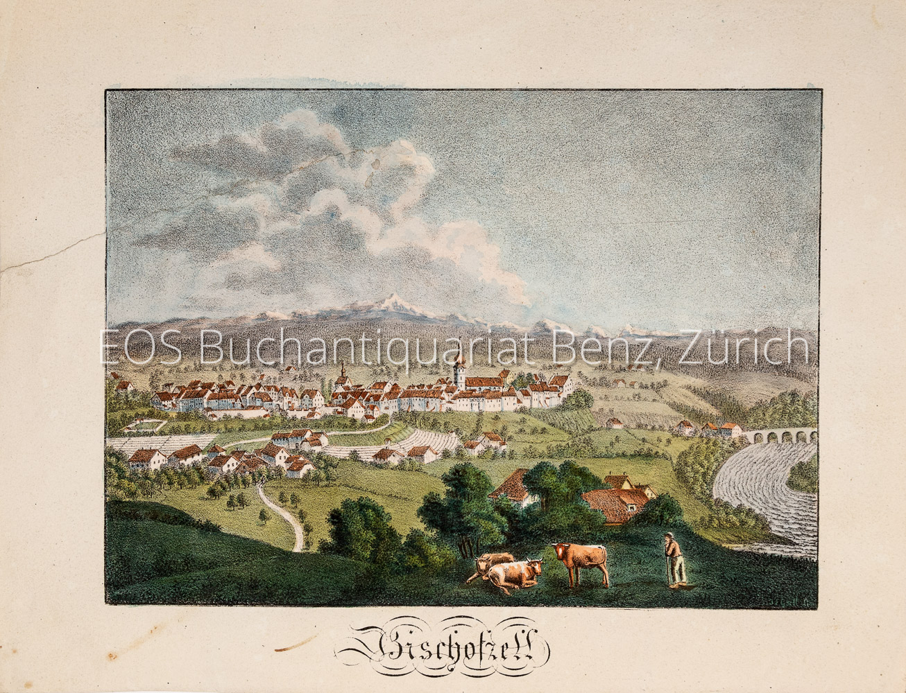
1825ref. 1742AGJ. L. Gsell, Lithograph. 1825. Altkolorierte Kreidelithografie. Blattformat: 19,5 x 25 cm.
1825ref. 1742AGJ.L. Gsell, Lithograph., 1825. Altkolorierte Kreidelithografie. Blattformat: 19,5 x 25 cm. + Wichtig: Für unsere Kunden in der EU erfolgt der Versand alle 14 Tage verzollt ab Deutschland / Postbank-Konto in Deutschland vorhanden +, A
Edit. Inst. Geo. Catastral, 1953. Mapa topográfico excursionista. 1:25.000. Mapa entelado y plegado. Muy buen ejemplar.
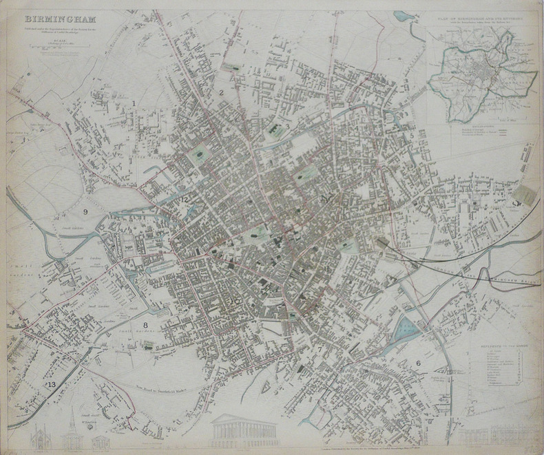
1839ref. LBW-1767Londres Society for the Diffusion of Useful Knowledge 1839 332 x 403 mm.
ref. 0008496374.Gpaperback. Good. Access codes and supplements are not guaranteed with used items. May be an ex-library book. paperback
ref. 000825799X.Gspiral_bound. Good. Access codes and supplements are not guaranteed with used items. May be an ex-library book. unknown
ref. 0007538995.Gspiral_bound. Good. Access codes and supplements are not guaranteed with used items. May be an ex-library book. unknown
ref. 13980584Paris: Binoche Giquello (commissaire-priseur), 2015 in-8 carré, 72 pages, illustrations, 193 lots. Broché, bon état.
ref. SLIVCN-3760024991940MINUS EDITIONS
1954ref. 194113Tokyo.: Charles E. Tuttle Company. 1954. Printed four colour map 92 x 71cm; 102.5 x 74.5cm sheet folding into pictorial wrappers 25.6 x 19 cm inset map of the Marounouchi District and on the verso an extensive grid reference in English and Japanese and over four panels a map of the streetcar railway and subway system scant spotting to cover two small fold splits without loss and toning most evident at the folds in very good condition. Comprehensive 1950s map of Tokyo by US publisher Charles E. Tuttle "Here at last is the map that makes order out of chaos.extending as far as Haneda Airport Grant Hights Harbor Area and Nakano Ward" blurb. . Charles E. Tuttle Company. unknown
2023ref. ANAIS-1566959128National Geographic Maps 2023-11-21. 2023. map. Good. 9.5X6.5X1.5. Buy with confidence. Excellent Customer Service & Return policy. National Geographic Maps unknown
Madrid, Dirección General del Instituto Geográfico y Catastral, 1950. 2ª edición. Mapa publicado por sectores (sector 179). Escala 1:50.000. 56x76 cms. Mapa entelado y plegado. Buen ejemplar.
19858' in a worn yellow hard slipcase and in a white soft slipcase. softocover booklet and numerous tables and maps. else in good condition.
1986ref. 89856Couverture souple. Brochure de 48 pages.
1829ref. 5146264London, The Trustees of the British Museum 1820-1829. Mit 2 Schabkunst-Porträts und 2 Holzschnitt-Vignetten. Gr.-2° (46 x 33,5 cm). Professionell restaurierte Pappbände der Zeit mit gedruckten Orig.-Papierrückenschildern.
1969ref. 3122670New York: Pake-Bernet Galleries 1969. (8), 164 Seiten. Mit zahlreichen Abbildungen. Gr. 8° (22,5-25 cm). Orig.-Pappband. [Hardcover / fest gebunden].
ref. 135369aafBonn : Kirschbaum Verlag, 1973, gr. in-8vo, XXV + 242 S. + 2 Bl. (Werbung), hs. Widmung Ueberreicht v.d. Töchter G. Ledewa - Bonacker Berlin 1973, Original-Leinenband. Mit Orig.- Rhodoidumschlag.
ref. 1390716589.Gpaperback. Good. Access codes and supplements are not guaranteed with used items. May be an ex-library book. paperback
2002Book is in excellent condition. Binding is solid and square, covers have sharp corners, exterior shows no blemishes, text/interior is clean and free of marking of any kind. 203 pages with color illustrations throughout.
1648ff. (19), 278, 112, 70, 132 leaves. Engraved pictorial title page and tailpiece, and five historiated double-page folding maps and city views (by Savary). Woodcut tailpieces, large and small decorative and historiated initials. Light marginal worming in preliminaries. Map of Paradise with wear at the margins. Engraved title mounted. Printed titles for the Prophets and New Testament. Folio. Contemporary full leather binding over split oak boards. Corners and clasp holders in thick brass. Spine and joints deteriorated; boards detached. Still impressive, and priced to allow for proper restoration. Engraved bookplate of R. Percy Alden, drawn by the American artist J. Alden Weir. Alden's house, "Millwood," in Cornwall, PA was designed by Stanford White. .This book is the famous Dutch Lutheran Bible of 1648. It was based on the Low German Bible printed at Madeburg in 1554, which was translated by J. Bugenhagen from Luther's Bible of 1545. It was published for the use of his brother Mennonites in 1560 by N. Biestkens van Diest in Emden, and became famous as the Biestkens Bible. Darlow and Moule 'Historical Catalogue of the Printed Editions of the Holy Scripture' No. 3311 says that this edition is "A revision of the 'Biestkens Bible' prepared on the basis of Luther's by Adolf Visscher of the Lutheran Church at Amsterdam. This became the standard Bible of the Dutch Lutherans." It is curious to note that it is the only Dutch Bible ever published by van Baardt. Darlow & Moule 3311. **PRICE JUST REDUCED! Scarce. W108
1955Feuille repli?e.