12,289 results
ref. R100037823Non Renseigné. Non daté. In-12. Broché. Bon état, Couv. convenable, Dos satisfaisant, Intérieur frais. Bon état. . . . Classification : 270-Cartes Postales Illustrateurs
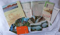
1970ref. 223347Beijing. 1970s. Collection of six items. Two postcard sets by the Peking Post Office: 北京风光 Bei jing feng guang: 8 postcards. 北京风景 Bei jing feng jing: 9 postcards. Both in original envelope 8 x 15cm. Two copies of the large colour folding map "北京游览图 Beijing Youlantu" showing with detailed maps of major tourist destinations and bus routes in Beijing. Text in simplified Chinese characters 73 x 51cm folded 18 x 12.5cm. One in original paper case. A trifold brochure with colour map of Beijing text in English 25 x 12cm. "Visitors Guide to Peking" booklet in stapled wrappers folding maps one at rear and another loosely inserted 43pp 23.5 x 10.5cm. Prepared by members of the Australian Embassy for Australian tourists in Beijing. Some minor wear at extremities overall in very good condition. . unknown
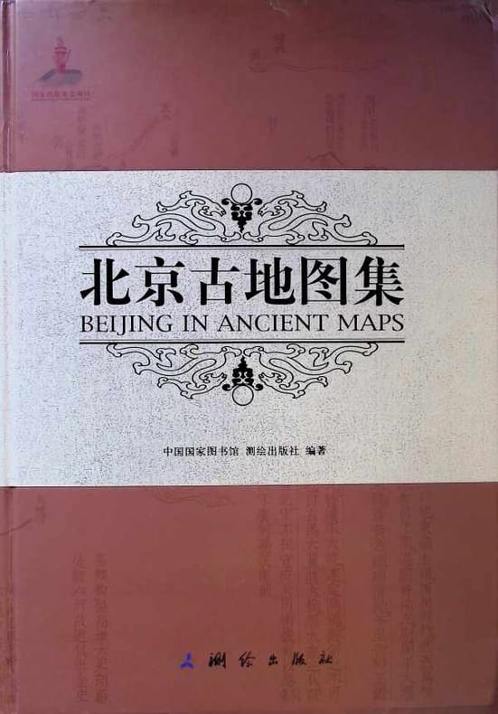
2010ref. 030215Beijing 2010 National Library of China & Surveying and Mapping Press Hardcover 1st Edition
1918pp. xix, 403 + Plus portrait frontis, photographs and maps. Inked ownership of Julia B. Martingale, Dec. 11, 1928. Inner hinges cracked. 8vo. Original full black cloth binding, worn. Eighth edition. Poor copy. Virulent but readable anti-German propaganda based on travels throughout Germany with interviews of people from all walks of life. Includes chapters on: Zeppelins; the Navy and its tactics; Spies; etc. WWI 5
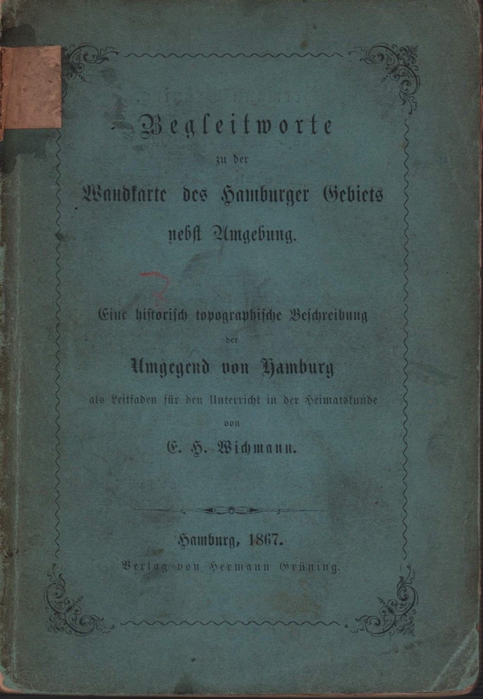
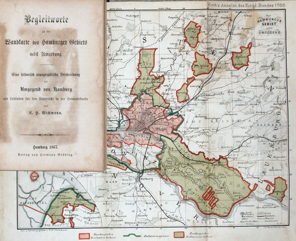
1867ref. 91409Hamburg, Hermann Grüning, 1867. 144 S. Kl.-8vo. 16,5 cm. OBrosch.
1867ref. 56770Hamburg, Hermann Grüning, 1867. 144 S. Kl.-8vo. 17 cm. Spät. HLn. mit neuen Vorsatzbll.
2007Appears unread. No marks or inscriptions. No creasing to covers or to spine. A very clean very tight copy with bright unmarked boards and no bumping to corners. 384pp. Great accomodation in over 500 UK real ale pubs.
2003ref. Q-0750654414Butterworth-Heinemann 2003-04-30. Paperback. New. New. In shrink wrap. Looks like an interesting title! Butterworth-Heinemann paperback
38 x 50 cm. (Blattgröße: 52 x 61 cm. *Detailkarte der Normandie / Picardie. - Sauber und sehr gut erhalten. Landkarten de
1947Neat inscription on 2nd front end paper. No other marks or inscriptions. No creasing to covers, crease to spine. A very clean very tight copy with unmarked card covers loosened at lower part of spine and some bumping to corners. Dust jacket not clipped with dusty rear and well rubbed to edges and corners. Unpaginated. ca 100pp. Description and discussion on Switzerland in English followed by about 80 pages of black & white photographs.
1938Une feuille 110x50 cm repli?e.
1949ref. 62765London & Paris: British European Airways 1949. 4to. 20 pp unpagianted. colour-illustrated maps and red & black text throughout. Self-printed colour-illustrated maps w/ ad for BP Aviation Service and Anglo-Iranian Oil Co. Ltd. on back cover Dunlop tire ad verso of front center crease fold as issued w/ original BEA sleeve from the library of Archibald Angus MacDonald 1892-1977 stepson of famed southern California oil man William F. Byrne as well as oil company and drilling equipment owner and manager of MacDonald & Burns Oil Producers. First edition of this surprisingly scarce BEA route map book issued following World War II and prior to the establishment of the Western US UK and French Zones into the Federal Republic of German and the Soviet Zone into the German Democratic Republic East Germany. In 1946 BEA was established to feed short commuter flights across Europe and until 1950 used a fleet of Douglas DC-3 aircraft based out of Croydon and Northold Airports moving to Heathrow in 1950. No copies in Worldcat. British European Airways, unknown
1981ref. 8190Etats-Unis, California, Editions Tombouctou / Bolinas 1981. In-8 broché de 80 pages au format 14 x 21,5 cm. Couverture illustrée. Dos carré. Plats et intérieur frais malgré d'infimes frottis aux coins et au 1er plat. Edition originale, ornée d'une belle dédicace autographe, signée, et datée de l'auteur. L'exemplaire est enrichi d'une superbe dédicace autographe, signée, de l'auteur en Anglais de 10 lignes sur une carte postale, au format 9,5 x 15 cm, avec un idéogramme Chinois en couverture. Rare ensemble.
1825ref. 2454Paris, Eymery, éditeur, 1825. 2 Tomes, complet. In-12 - 10,5 x 17,5 cm. Reliure de l'époque en plein veau moucheté, dos lisse orné de filets, petits fers et dentelle dorés, pièces de titre et de tomaison en chagrin bordeaux, dentelle et doubles filets dorés en encadrement des plats, filet doré sur les coupes, tranches marbrées. 4f., 376pp. ; 2f., 447pp. 2eme édition. Complet de son plan dépliant et de ses 14 planches hors-texte.
1939ref. 150221Couverture souple. Broché. 414 pages. Couverture défraîchie. L'intérieur est parfait.
Format (Bildbereich): 19 x 26,5 cm. Leicht gebräunt, insgesamt gut erhalten. Landkarten de
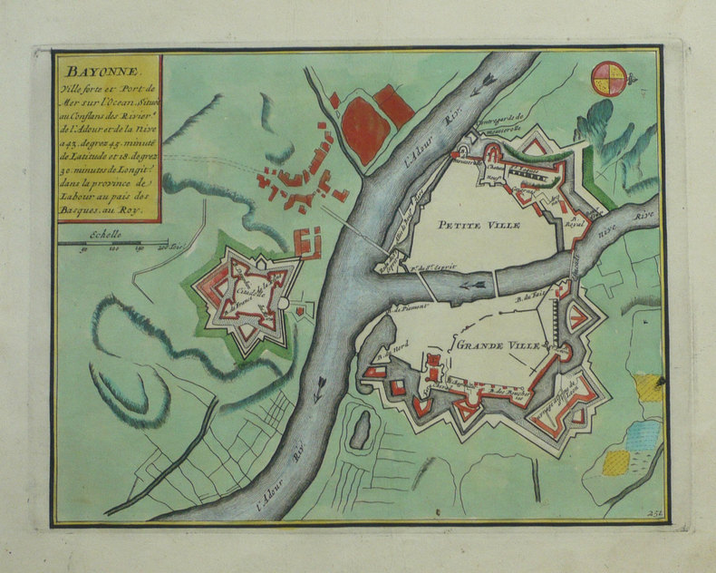
1702ref. LBW-1321Amsterdam Pierre Mortier 1702 215 x 276 mm.
1843ref. LBW-652Toulouse 1843 230 x 440 mm.
1914Collection " Les Guides Bleus " . Excursions , nombreux plans de voyage et de villes en couleurs et noir et blanc . Index . Avec 38 plans et 15 cartes .- 520 p. + plans , 550 gr.
1914ref. 015270Paris Librairie Hachette 1914 In 16 Collection " Les Guides Bleus " . Excursions , nombreux plans de voyage et de villes en couleurs et noir et blanc . Index . Avec 38 plans et 15 cartes .- 520 p. + plans , 550 gr.
2012ref. 1-1597754285Natl Geographic Society Maps 2012. Paperback. New. lam map edition. 2 pages. 25.00x2.00x1.60 inches. Natl Geographic Society Maps paperback
2012ref. 1-1597750026Natl Geographic Society Maps 2012. Map. New. lam map edition. 1 pages. 24.75x2.00x2.00 inches. Natl Geographic Society Maps unknown
1992Book is in excellent condition, as new with bright red covers, white print at spine, map endpapers. Binding is solid and square, covers have sharp corners, exterior shows no blemishes, text/interior is clean and free of marking of any kind. Heavily illustrated throughout with architectural drawings, floorplans, maps, interiors, exteriors, landscape maps, b&w photos of elevations, facades, ruins, details, etc. Dust jacket shows the slightest signs of shelf wear only, no tears. Contents include: Greek gymnasium and the Greek bath, Bathing and baths in the Roman wold, Origins and early development of Roman baths, Thero-mineral baths, Thermae of Rome, Baths of North Africa, Baths and gymnasia in Asia Minor, Baths and bathing in the late antique and early Byzantine world, with four appendices, notes, etc. 501 pages. copyright Pistil Books, 2011
Published in 1970s, maps. eng
2022ref. BN348216PopOut Maps 2022. 2022. Bath PopOut Map PopOut Maps Bath PopOut Map PopOut Maps Maps PopOut PopOut Maps unknown