12,595 results
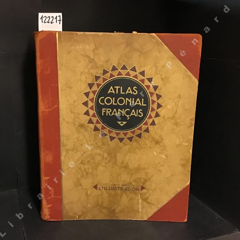
1929ref. 1222171929 Editions L'Illustration - 1929 - Grand in-folio, reliure de l'éditeur, demi basane à coins, titre et décoration sur le premier plat - 320 pages - 56 cartes en couleurs et très nombreuses illustrations et reproductions photographiques en N&B in et hors-texte
1971ref. 057124Wesmael Charlier Claire Rigide Illustrée Namur 1971 grand livre format A3
Une feuille. 55x75 cm. R?par?e.
ref. 13129Atlas cantonal du département de la Marne 1878. Format 870x620mm. Dressé suivant la décision du conseil général du 16 avril 1874, par le service des ponts et chaussées et des chemins vicinaux sous la direction de DUPARCQ ingénieur en chef, et gravé par ERHARD échelle 0,002m pour 1000m. Réunion de 21 cartes : N° 4 Carte du Canton de Suippes (petites déchirures en marge inférieure) 1878.N°5 Carte du canton de Vertus (mouillure en marges et petites déchirures) 1878. N° 6 carte du canton d’Anglure (petites déchirures en marges (1878). N° 7 carte du canton d’Avize (une déchirure en marge extérieure) .N° 8 carte du canton de Dormans (petites déchirures en marges ) 1877. N° 10 Carte du Canton d’Esternay 1878. N° 11 Carte du canton de Fère-Cahmpenoise 1877. N°12 carte du canton de Montmirail 1876. N° 14 carte du canton Sézanne 1876.N°18 Carte du Canton de Châtillon- sur- Marne (mouillure pâle en marge extérieure, ainsi qu’une déchirure réparée. 1877. N° 9 carte du Canton de Fismes une déchirure réparée. 1878. Carte N° 20 Cantons de Reims 1877. Carte N°21 Canton de Verzy 1878. Carte N°22 canton de Ville en Tardenois 1878. N° 23 Carte du canton de Dommartin-sur-Yèvre 1877.N°24 carte canton de Sainte-Menehould. 1876. N°25 carte du de Ville sur Tourbe 1878. N°26 Carte du Canton de Beine 1872 N°28 Carte du canton de Saint Rémy en Bouzezmont 1877. N° 28 Carte du canton de Sompuis 1876. N°29 carte du canton de Thiéblemont 1878.L’ensemble
1964ref. 17564Paris, Gallimard, 1964, Cartonnage éditeur avec jacquette, 187 pages. Bon état.
ref. 27386PARIS, N.R.F./Editions Gallimard , 1957 - In-4 - Reliure pleine toile sous jaquette illustrée (accroc) - 192 pages , 268 photographies et 3 cartes en noir et blanc - bon exemplaire - Envoi rapide et soigné
ref. 0792249542.Gmap. Good. Access codes and supplements are not guaranteed with used items. May be an ex-library book. unknown
1963ref. 147115Couverture souple. Broché. 342 pages + cahier d'illustrations.
2011ref. SBBI-mon0000123365PopOut Maps 2011. map. Acceptable. Please see the condition note after this for details if this is missing please consider Acceptable to mean poor quality that could include major staining water damage writing missing dustjacket etc etc. Our books are dispatched from a Yorkshire former cotton mill. We list via barcode/ISBN so please note that the images are stock images and may not be the exact copy you receive furthermore the details about edition and year might not be accurate as many publishers reuse the same ISBN for multiple editions and as we simply scan a barcode or enter an ISBN we do not check the validity of the edition data when listing. If you're looking for an exact edition please don't order at least not without checking with us first although we don't always have time to check. We aim to dispatch prompty the service used will depend on order value and book size. We can ship to most countries see our shipping policies. Payment is via Abe only. PopOut Maps unknown
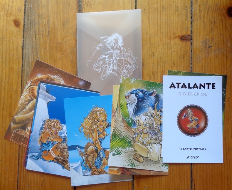
ref. 911PMJ éditions Port-folio translucide, bien complet des 16 cartes postales annoncées au feuillet de titre. A l'état de neuf.
ref. 978284522248816 cartes postales sous pochette translucide (Ref.: ref95693)
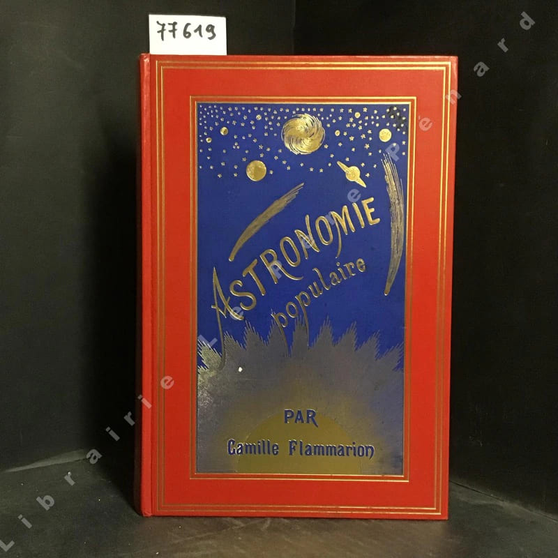
1977ref. 776191977 Paris, C. Marpon et E. Flammarion, Editeurs - 1977 (reprint de l'édition de 1880) - 1 vol in-4 relié; pleine basane rouge illustrée avec planètes et comètes en doré sur fond bleu ( 1er plat); auteur, titres, fleuron au télescope et filets dorés - 839-XXXIIpages - 360 figures, planches en chromolithographie, cartes célestes, etc
ref. 35142Paris, M.A. Editions, 1982. 16 x 24, 255 pp., très nombreux dessins, broché, bon état (2 cachets privés).
ref. SLIVCN-9830096004474PASSE-TEMPS EDITIONS
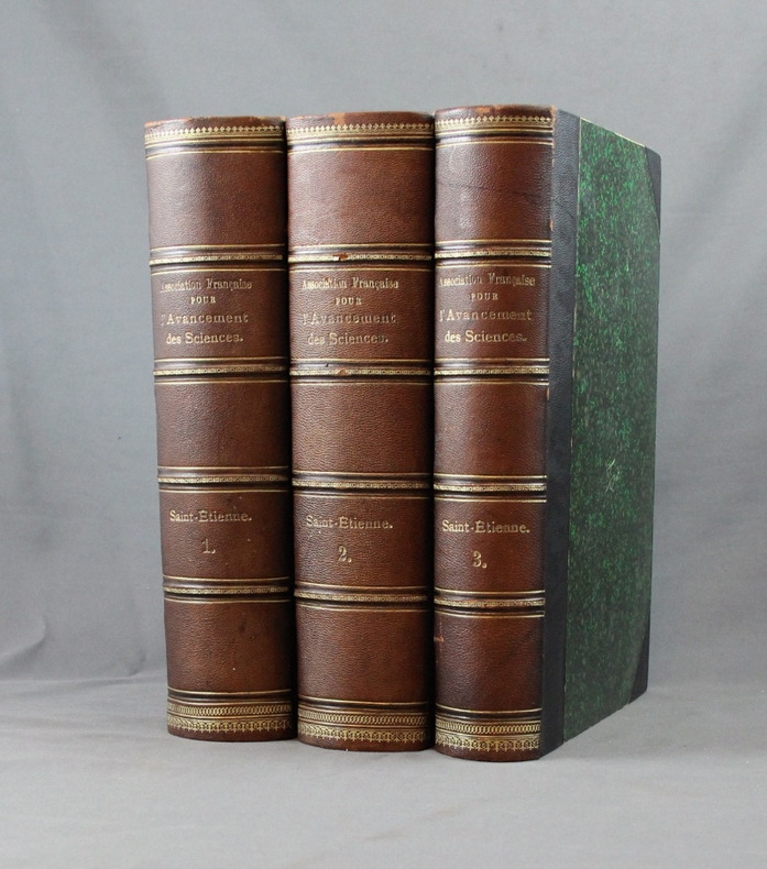
1897ref. 2546Saint-Etienne, Société de l’impr. Théolier - J. Thomas & Cie, 1897. 3 vol. in-8 de XV, 512-[2] + 536 + 426-[6] pages. Demi-chagrin noir à coins, dos à nerfs ornés de filets et roulettes dorés, tranches rouges. Dos légèrement passés, quelques griffures aux coiffes.
1991ref. 4342Editions Christian Desbois, 1991. 7 aquarelles de Jacques Loustal presentées lors de l'exposition " assis, debout , couché " à la galerie Escale à Paris de 20 juin à 20 juillet 1991, présentées sous carte pliée et illustrée, sous forme de timbres.
1979No marks or inscriptions. No creasing to covers or to spine. A very clean very tight copy with bright unmarked boards and no bumping to corners. 84pp. Details of the culture of Indonesia with particular emphasis on Jakarta's Central Museum Pusat. Illustrated.
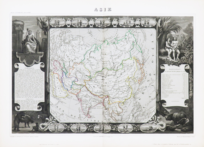
1856ref. LBW-8701Paris, Fatout, [1856]. 570 x 817 mm.
254 x 201 mm. Lithographed map. Scale 1:50,000,000. Gilt wooden frame (290 x 357 mm). Political map of Asia prior to WWI, showing the Arabian Peninsula and the Gulf, the Ottoman Empire, Russia, China, India, Japan, and South East Asia, including the Philppines and Indonesia, as well as large parts of Europe and the westernmost part of Africa. With an inset map of Tokyo and its surroundings (1:500,000). - Early edition of Eduard Gaebler's map of Asia, published in "Neuester Hand-Atlas über alle Teile der Erde" (Leipzig, Gaebler's Geographisches Institut, 1892). The map saw numerous reissues; a slightly revised edition appeared in Gaebler's "Kleiner Handatlas" as late as 1933. - Slightly foxed. Frame with some traces of worming. An appealing map in an attractive wooden frame with a gilt border.
Format (Blattgröße): 16 x 22 cm. Leicht gebräunt, insgesamt gut erhalten. Landkarten de
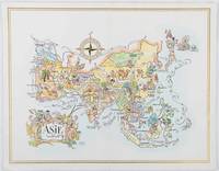
1964ref. 195995Pan American World Airways. 1964. Colour pictographic/pictorial map of Asia 23.2 x 30.1 cm gilt double-rule border printed on a folding decorative menu card 32 x 50 cms open highlighted in gilt text in English French and Japanese central fold and later central vertical crease in very good condition. Pan Am menu card for First Class passengers dubbed "The President Special" the deluxe cuisine by fabled Maxim's of Paris "Good food is the basis for true happiness". Passengers were feted with gourmet meals on bone china with silver cutlery. The witty pictorial cover-map of Asia was by French artist and commercial illustrator Jacques Liozu 1910-1974 also known for his larger scale maps. . Pan American World Airways. unknown
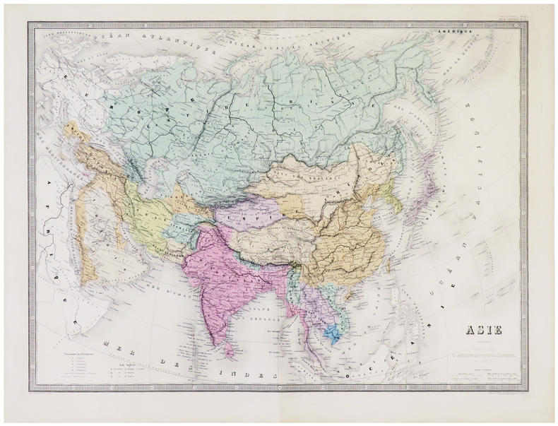
1879ref. LBW-5792Paris, E. Andriveau-Goujon, 1879. 463 x 627 mm.
1850ref. LBW-4864Paris, [circa 1850]. 320 x 438 mm.
1861ref. LBW-6951Paris, [1861]. 320 x 436 mm.