MareMagnum
The Michigan Book
ref. 0332212777.Gpaperback. Good. Access codes and supplements are not guaranteed with used items. May be an ex-library book. paperback

Bonita · United States$55.73≈ €49.79
12,245 results
19771 folded map. VG. (National road maps ; 3). 18875. eng
ref. 0332212777.Gpaperback. Good. Access codes and supplements are not guaranteed with used items. May be an ex-library book. paperback
ref. 2067184997.Ghardcover. Good. Access codes and supplements are not guaranteed with used items. May be an ex-library book. hardcover
1948ref. TOB217-32701-A-0.50Doubleday. Good with no dust jacket. 1948. Hardcover. 309 pages; Copyright page does not state edition or printing. Likely 1st edition judging from date. Foxing heavy to the exterior edge of pages only. Yellowing to pages. Otherwise in good condition. No writing or major blemishes. ; - We're committed to your satisfaction. We offer free returns and respond promptly to all inquiries. Your item will be carefully wrapped in bubble wrap and securely boxed. All orders ship on the same or next business day. Buy with confidence. . Doubleday hardcover
2007152 pages. Bibliography. Index. Wonderfully illustrated, often in colour. Printed upon glossy stock. Handsomely produced. "Plot's Nova Scotia's growth through the careful examination and analysis of maps from the nineteenth century. An exciting time in Nova Scotia's history, this period saw the first serious attempts to gain knowledge of the entire province, its resources and its inhabitants. Traces developments in our province that today are taken for granted." - from back cover. Clean, bright and unmarked with light wear. A high-quality copy. Book
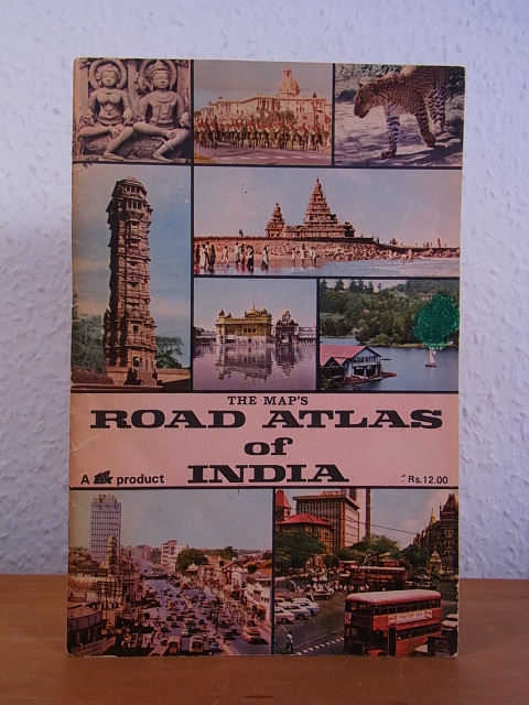
1982ref. 99394TPT - Tamilnad Printers and Traders (formerly Maps & Atlases Publications), Chromepet, Madras, 1982. 22 cm ; broschiert
196032 pages. A story which teaches young readers about mapmaking. Front free endpaper removed. Usual library markings. Worthy working copy. Book
1980No marks or inscriptions. No creasing to covers, minor crease partway down spine. A clean very tight copy with lightly sunned covers and no bumping to corners. Minor bump to bottom of spine. 160pp. This volume presents selections of the text from Morton's classic 'In Search of Ireland' dated 1930 complemented with a wealth of colour and monochrome photographs of modern Ireland.
1997ref. 52551997 reliure pleine toile bleue in-quarto, titre frappé or sur le dos, illustrations photographiques en couleurs, 224 pages, 1997 London Apple Press,
1946A magazine for collectors and others interested in times past and in articles of daily use and adornment devised by the forefathers. Features: Cover illustration of Maypole Dance on English textile c. 1765; Potter (Meissen porcelain figure, c. 1750) frontispiece; The Goddard and Townsend Joiners - Part II; Styles in Silver; Two Looking Glasses; Capodimonte and Buen Retiro Porcelain; Old Maps - And The Men Who Made Them; Living with Antiques - The Charleston Home of Josephine Pinckney; A Painted Wall in the home of Charles Howard in Fitchburg, MA; and more. Many pages of nostalgic ads from a broad assortment of prominent dealers. Profusely illustrated with excellent black and white photos. pp. 265-328. Printed upon glossy stock. Unmarked with above-average wear. Covers loose but present. A worthy reference copy of this informative issue. Book
2002No marks or inscriptions. Small crease to upper corner of rear cover. A very clean very tight copy with bright unmarked boards and no bumping to corners. 73pp. The essential guide to the Gardens & wider estate near St Austell in Cornwall.
191658p. + Full page plates. Age stained. Small 4to. Original pictorial wraps, soiled. PA PAMPH 20_3 BX3
1924303p. + Plus frontis, maps and photographs. 8vo. Original full cloth binding, somewhat soiled. The story of various explorations and discoveries with chapters on: Lhasa; the gorges of the Brahmaputra; the North Pole; the Mountains of the Moon; the South Pole, Mt. McKinley; the Holy Cities of Islam; the Exploration of New Guinea; and Mount Everest. **PRICE JUST REDUCED! POLAR 2
1984No marks or inscriptions. A very clean very tight copy with bright unmarked boards, very minor traces of foxing to page edges and no bumping to corners. Dust jacket not price clipped or marked or creased with one cm enclosed tear to spine and rubbing to top of spine. 240pp. This book takes the reader through the geographical area of Thomas Hardy's novels region by region, pointing out the association of each place in its geographical order.
1996Name/date to front end paper. No other marks or inscriptions. A very clean very tight copy with bright unmarked boards and no bumping to corners. Dust jacket not price clipped or marked or torn with minor creasing to edges and a little indenting. 189pp. Circular walks to the 100 highest peaks in England's Lake District. Well illustrated.
1958No marks or inscriptions. A very clean very tight copy with bright unmarked boards and no bumping to corners. Dust jacket not price clipped with dusty rear, piece missing around spine foot and a few small tears. 124pp. A guide to England's Lake District. Undated ca 1958.
1949Previous owner's name to front end paper. No other marks or inscriptions. No creasing to covers or to spine. A very clean very tight copy with bright unmarked boards, no sunning to spine, extremely minor rubbing to spine ends and no bumping to corners. 316pp. Concise tour of the Lake District plus a 110 page gazetteer.
1986Inscription on ffep. No other marks. A lovely clean crisp very tight copy with bright boards and gilt lettering and with no bumping to corners. Dust jacket not price clipped or torn or creased. The delightful slip-case with gilt English and Arabic writing and design on a dark green vellum-type background is in excellent condition. 256pp.
1689London, William Berry, (1689). 56x87 cm. Large engraved map of Denmark in original outline colouring. Perhaps the largest engraved map of Denmark from the 17th century.
1689ref. 47354London, William Berry, (1689). 56x87 cm. Large engraved map of Denmark in original outline colouring. Perhaps the largest engraved map of Denmark from the 17th century.
1689London, William Berry, (1689). Ca 58x88 cm. Frame and under plexiglass. Large engraved map of Denmark in contemp.outline colouring. Perhaps the largest engraved map of Denmark from the 17th century.
1689ref. 42652London, William Berry, (1689). Ca 58x88 cm. Frame and under plexiglass. Large engraved map of Denmark in contemp.outline colouring. Perhaps the largest engraved map of Denmark from the 17th century.
1979ref. Q-0827601166Jewish Publication Society of America 1979-01-01. Hardcover. New. In shrink wrap. Looks like an interesting title! Jewish Publication Society of America hardcover
185312mo [20.5 x 13 cm]; vi, 238, 4 [ads dated Feb 1853] pp, 4 folding colored maps complete. original blind-stamped cloth, gilt title lettering on spine and cover, spine faded but lettering clear, light stains on cover, some minor foxing on title and few other leaves, but very good overall. A picture of this book is available upon request by emai Welch 188. Sabin 27512. A narrative of the author's travels in northern Columbia, Panama, Darien, with observations of social customs, native life, the Panama railway, gold mines, climate, topography, Cartagena, forests, conditions, etc.
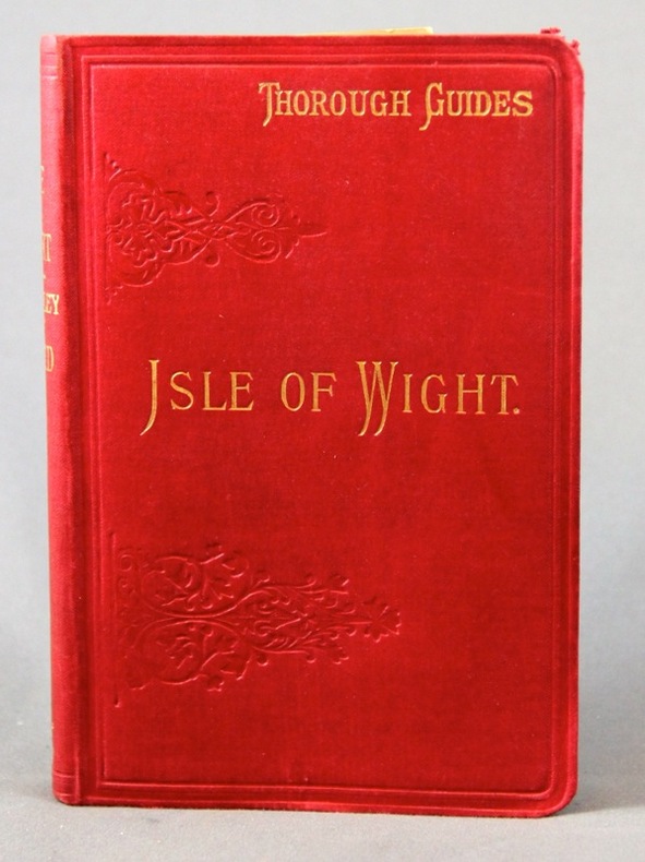
1895ref. 2308London, Dulau & Co, 1895. In-8 de X-[4]-96 pages, pleine percaline rouge d'éditeur ornée à froid, dos lisse. Coins supérieur du second plat frotté.