12,365 results
1973ref. 2083002116201937Meiji Maps Hisao Hayashi 1973. Soft Cover. Fine. The book is in fine condition. Meiji Maps Hisao Hayashi paperback
1930Collection " Guide-Hachette " avec 1 Carte dépliante en couleurs , 1 carte schématique en noir et blanc et 26 gravures . A l'époque où l'automobile se développe ainsi que les voies de chemins de fer , Hachette lance une série de guides invitant à découvrir tous les départements de France . De très belles cartes réalisées par L'Institut Géographique de Paris permettent d'entreprendre les voyages . Actuellement très utiles aux généalogistes et historiens car nombres de villages ont disparus . Elles permettent de recenser les bois et forêts de l'époque , les lignes de chemins de fer , les petits et grands chemins et donnent de précieuses indications sur l'économie et la population . ( Commandez plusieurs départements dans notre librairie et ne payez qu'un seul frais de port ) . Cartes et plans .- 56 p. + Carte , 150 gr.
ref. 20334Guilherand, Impressions Modernes, 2002, Broché, couverture illustrée. in-8, titre illustré, 182 pages, nombreuses photos (reproduction de cartes postales anciennes) avec un texte d'accompagnement, envoi autographe signé de l'auteur.
1930ref. 022433Paris Librairie Hachette 1930 In 16 Collection " Guide-Hachette " avec 1 Carte dépliante en couleurs , 1 carte schématique en noir et blanc et 26 gravures . A l'époque où l'automobile se développe ainsi que les voies de chemins de fer , Hachette lance une série de guides invitant à découvrir tous les départements de France . De très belles cartes réalisées par L'Institut Géographique de Paris permettent d'entreprendre les voyages . Actuellement très utiles aux généalogistes et historiens car nombres de villages ont disparus . Elles permettent de recenser les bois et forêts de l'époque , les lignes de chemins de fer , les petits et grands chemins et donnent de précieuses indications sur l'économie et la population . ( Commandez plusieurs départements dans notre librairie et ne payez qu'un seul frais de port ) . Cartes et plans .- 56 p. + Carte , 150 gr.
ref. G8N-H27-VU6Hardcover. Good. Jacket in Fair condition worn torn faded and foxed with significant tape repairs verso. Book has moderate wear some edge foxing; pages yellowed with an occasional minor blemish; binding firm; gift inscription to half-title. hardcover
1959ref. 34336Weimar, Böhlau, 1959. 64 Seiten. Mit einer gefalteten Karte im Anhang. 4°. Halbleinen mit goldgeprägtem Rückentitel. Vorderdeckel etwas lichtrandig, Ränder minimal bestossen. Gutes Exemplar. 1. Aufl.
1939ref. 144331939. Archive of six large original World War II-era maps used by a United States Army soldier in the European Theater of Operations during the Allied liberation of Europe. Lithographed maps various issuers 1938-1939 wartime use 1944-1945. Beyond their immediate tactical utility these maps occupy a pivotal geopolitical moment. The Czech sheets document territories liberated by American forces in May 1945 particularly around Plzeň which marked the effective western limit of U.S. advance before demarcation lines were fixed with Soviet forces. Within months these same regions fell firmly within the Soviet sphere of influence formalized through postwar agreements and culminating in the 1948 Communist coup in Czechoslovakia. Cartographically borders administrative divisions and place names shifted to reflect the new socialist state while subsequent Eastern Bloc map production emphasized different political geographies aligned with Moscow. Thus these pre-Communist and German-printed sheets capture a fleeting interstice: cities momentarily under American military administration before incorporation into the Soviet Eastern Bloc. The 1938 promotional map of Czechoslovakia preserves the nation's pre-Munich territorial identity prior to its partition under Nazi pressure while the 1939 Hamburg map reflects the industrial heartland of the Third Reich before Allied devastation and Germany's eventual division into East and West. In this sense the archive charts not only wartime movement but the rapid redrawing of Europe's political landscape-where American operational cartography was almost immediately superseded by Cold War boundary-making. Sizes range from 19" x 24" to 34" x 22". The archive comprises detailed city and regional maps of western Czechoslovakia-Město Teplá 19" x 24" Plzeň Sheet 4151 24" x 19" black and white with green overlay Horšovský Týn Sheet 4150 24" x 19" and Kralovice Sheet 4051-together with a large 1938 promotional map of Czechoslovakia 34" x 22" and a 1939 German-printed map of Hamburg 28" x 24". All are original period printings retained by the soldier following his service. Good overall with expected wartime folds creasing and moderate wrinkling from field use and storage; no significant losses observed. A rare and materially resonant survival of Allied operational maps that document both the liberation of Central Europe and the swift geopolitical transformation that consigned much of that terrain to the Soviet Eastern Bloc rendering these sheets artifacts of a brief and transitional military presence. unknown books
1939ref. 144331939. Archive of six large original World War II-era maps used by a United States Army soldier in the European Theater of Operations during the Allied liberation of Europe. Lithographed maps various issuers 1938-1939 wartime use 1944-1945. Beyond their immediate tactical utility these maps occupy a pivotal geopolitical moment. The Czech sheets document territories liberated by American forces in May 1945 particularly around Plzeň which marked the effective western limit of U.S. advance before demarcation lines were fixed with Soviet forces. Within months these same regions fell firmly within the Soviet sphere of influence formalized through postwar agreements and culminating in the 1948 Communist coup in Czechoslovakia. Cartographically borders administrative divisions and place names shifted to reflect the new socialist state while subsequent Eastern Bloc map production emphasized different political geographies aligned with Moscow. Thus these pre-Communist and German-printed sheets capture a fleeting interstice: cities momentarily under American military administration before incorporation into the Soviet Eastern Bloc. The 1938 promotional map of Czechoslovakia preserves the nation's pre-Munich territorial identity prior to its partition under Nazi pressure while the 1939 Hamburg map reflects the industrial heartland of the Third Reich before Allied devastation and Germany's eventual division into East and West. In this sense the archive charts not only wartime movement but the rapid redrawing of Europe's political landscape-where American operational cartography was almost immediately superseded by Cold War boundary-making. Sizes range from 19" x 24" to 34" x 22". The archive comprises detailed city and regional maps of western Czechoslovakia-Město Teplá 19" x 24" Plzeň Sheet 4151 24" x 19" black and white with green overlay Horšovský Týn Sheet 4150 24" x 19" and Kralovice Sheet 4051-together with a large 1938 promotional map of Czechoslovakia 34" x 22" and a 1939 German-printed map of Hamburg 28" x 24". All are original period printings retained by the soldier following his service. Good overall with expected wartime folds creasing and moderate wrinkling from field use and storage; no significant losses observed. A rare and materially resonant survival of Allied operational maps that document both the liberation of Central Europe and the swift geopolitical transformation that consigned much of that terrain to the Soviet Eastern Bloc rendering these sheets artifacts of a brief and transitional military presence. unknown
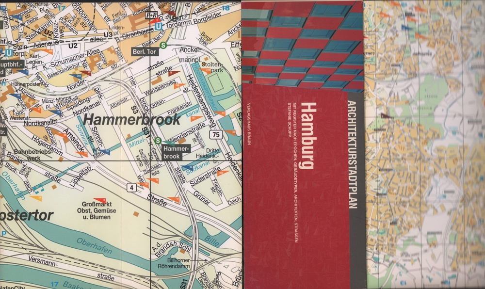
2004ref. 81261(Berlin), Verlagshaus Braun, (2004). 2 mehrfach gefalt. farb. Pläne, beidseitig bedruckt Gesamtplan im Maßstab 1:20000, verso Innenstadt im Maßstab 1:8000 sowie 103 S. Register (dt./engl.). Deckel 10,5 x 25 cm. Stärkerer OKart.
1778Carta geografica colorata a mano (53,5x71), con larghi margini, buone condizioni. Hand coloured map (53,5x71), large margins, good copy.
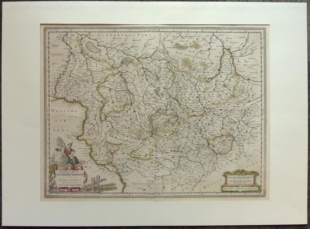
1680ref. 81228Amsterdam, Janssonius, [ca. 1680. 38 x 49 cm.
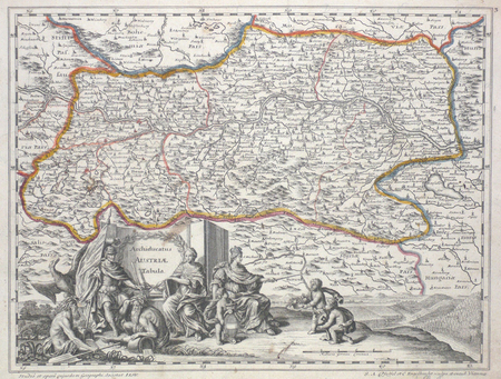
Kupferstichkarte von 12 Platten mit Legende und sechs Kartuschen (darunter auch Veduten mit figürl. Staffage, u. a. eine Ansicht des Traunsees mit Gmunden u. Schloß Orth sowie Attersee mit Schloß Kammer), zus. auf Leinwand aufgezogen und auf zwei zeitgenössische Holzstäbe mit gedrechselten Knäufen montiert. 1280:1265 mm. Erste Ausgabe der großen Vischer-Karte von Oberösterreich, spätere Ausgaben sind 1762 und 1808 erschienen. “Die erste der großen Landkarten des Georg Matthäus Vischer ist die Karte von Oberösterreich. Ende des Jahres 1666 hat Vischer das Projekt den oberösterreichischen Ständen vorgeschlagen, im Mai 1667 erhielt er schon den Auftrag, Sommer 1667 ist er mit den Vermessungsarbeiten im Gelände beschäftigt, und im Winter desselben Jahres wird die Karte bereits gezeichnet. Am 21. Februar 1668 konnte Vischer die vollendete Karte den Ständen vorlegen” (Dörflinger/Wagner). Die vorliegende Karte gilt als die erste autoptisch aufgenommene, großformatige und detaillierte Karte von Oberösterreich und “diente einem der universalsten Barockkartographen, dem Venezianer Vincenzo Coronelli (1650-1718) als Vorbild” (Kat. Austria Picta, 56f.), der die vorliegende Karte 1692 für seinen ‘Corso Geografico universale’ in verkleinertem Format nachgestochen hat. - Durch die alte Montage und Aufhängung mit den üblichen Gebrauchspuren und an den Plattenkanten etwas rissig, das Leinen jedoch fachmännisch erneuert, einige kl. Fehlstellen retuschiert. Wie alle großformatigen Wandkarten des Barock selten, die vorliegende noch dazu in der originalen Fassung des 17. Jahrhunderts auf zwei hölzerne Rundstäbe montiert. Dörflinger/Wagner/Wawrik, Descriptio Austriae (1977), 126 u. Tafel 28.
2004Contains a map. 24x17 cm. 102+72 pages. Softcover. In good condition.
2004IN HEBREW AND ENGLISH. Contains a map. 24x17 cm. 116+91 pages. Softcover. In good condition.
1968Supplement to National Geographic, October 1968. eng
ref. 9515Michel Trinkvel Reliure éditeur plein cartonnage sous jaquette illustrée au format 21x30env , superbe iconographie in et ht en noir généralement ( photographies anciennes). Très bel exemplaire .
1996ref. 15408EDITIONS DE LODI 1996 203 pages 2x29x23cm. 1996. Relié. 203 pages. Livre d'occasion illustré sur la région de Franche-Comté présentant des photographies anciennes des métiers traditionnels et des cartes postales. Publié en 1996 aux éditions de Lodi il fait partie d'une série d'ouvrages de Jacques Borgé et Nicolas Viasnoff
1862ref. LBW-1137Paris, Jules Renouard, 1862. 354 x 490 mm.
1857ref. 9560Philadelphia, Childs & Peterson, 1857. 2 volumes in-8 de 2-464-2 et 2-467-2, pages, pleine percaline bleue, dos (un peu passés) avec titre doré et roulettes à froid, plats ornés d'un navire dans un décor à froid. Quelques rousseurs, nom de possesseur sur gardes.
ref. LBW027afAugsbourg circa 1740 252 x 333 mm.
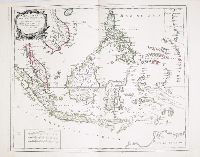
1778ref. LBW-795Venise, P. Santini, 1778. 481 x 590 mm.
1750ref. LBW-64211750. 480 x 592 mm.
2013ref. G0930657578I3N00APC Enterprises 2013. Perfect Paperback. Good. Pages can have notes/highlighting. Spine may show signs of wear. ~ ThriftBooks: Read More Spend Less.Dust jacket quality is not guaranteed. APC Enterprises paperback
ref. 093065708X.Gpaperback. Good. Access codes and supplements are not guaranteed with used items. May be an ex-library book. paperback
Ca. 280 x 200 mm. Manuscript map of the Arabian Peninsula and Iraq in original hand colour. Captioned in Turkish (in Latin letters). Unique hand-drawn map of the Arabian Peninsula and Iraq by the Turkish cartographer, scientist and cadastre specialist Halid Ziya Türkkan, who was appointed Head of the Science Committee of Istanbul's new cadastre office in 1925. The map distinguishes Nejd, Yemen, Hadramaut, Oman, Kuwait, and Iraq by different colours, also showing the Bay of Aden, the Umman Sea, and the Red Sea. Featured cities include Aden, Makkah, Medina, Sana'a, and Mascat. - Signed in ink by the cartographer. Very well preserved.