12,201 results
ref. R240072252LOUYS BAUER. NON DATE. In-12. Broché. Etat d'usage, Couv. défraîchie, Dos satisfaisant, Intérieur acceptable. 11 cartes postales en sépia sous serpente (collationnées) manque des cartes postales - coins frottés - tâches brunes sur les plats.. . . A l'italienne. Classification Dewey : 741.68-Illustrations des cartes postales
1996Elephant folio, 92 pages, colour maps. Covers creased. eng
1982No marks or inscriptions to contents. No creasing to covers or to spine. A lovely clean tight copy with bright unmarked boards and no bumping to corners. Maps plus 224pp.
1969No marks or inscriptions to contents. Minor creasing to covers. A clean copy with very slightly marked covers. 49pp. A nostalgic look at the campsites available in the 1960s in parts of Europe. Very large fold-out map of the four countries at rear in excellent condition. Scarce.
2013ref. 25772Genève, Editions Notari 2013. In-4 fin, très fin, à l'état de neuf, sous emballage d'origine.
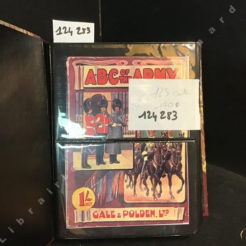
2012ref. 1242832012 Cale et Polden LTD, Sansdate ( 20ème siècle) - Présentation des 123 cartes dans un album photo moderne - Illustrations en couleurs de chaque costume militaire (Voir photos)
ref. 5828Carte routière dépliante couleur, A. Taride, Paris, SD
200344 pages, colour street maps. eng
2001264 pages, colour maps, index. eng
200096 pages, maps, index. eng
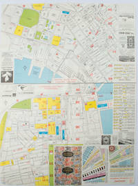
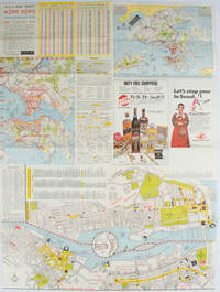
1977ref. 161880Hong Kong.: A-O-A Ltd. June/July1977. Coloured tourist maps of Hong Kong printed both sides on a sheet folded. One general area map of Hong Kong and three detailed street maps featuring Kowloon Peninsula Tsimshatsui and Central District. Generally in very good condition text in traditional Chinese English and Japanese. Sheet measures 58.2 x 43cm. The tourist maps include currency rate tourist advice advertisements for foreign and local brands and shops e.g. A-O-A Gambling Handbook for Macau Duty Free shopping centres Chinese Arts & Crafts centres acupuncture clinic etc. The maps of Central and TST have the names of many hotels businesses post offices etc marked on them. . A-O-A Ltd. unknown
1976ref. 161881Hong Kong.: Walter K. Hoffman. January/February1976. Coloured tourist map brochure of maps of Hong Kong printed both sides six maps in total folded. Brochure also includes advertisements currency rates. Minor tears along folds otherwise in good condition. Text in traditional Chinese English and Japanese. Sheet measures 58.2 x 43.4cm. Sheet includes 6 individual maps: Map of British Crown Colony of Hong Kong Map of the Urban Area with routes for public transportation Map of Tsimshatsui large scale street map Map of Central District large scale street map Map of Wanchai large scale street map Map of Causeway Bay large scale street map Map of Portuguese Overseas Province of Macau. On the maps of Central and TST the names of many businesses hotels etc are marked. . Walter K. Hoffman. unknown
2004Mm 240x290 Photos by Mauro Magliani. Printed Pages: 318 with colour illustrations throughout. Brand new in original shrinkwrap.
1684ref. 24285Edo Tokyo: Hyoshiya Ichirobe Hayashi-shi Yoshinaga First month 1684 But Third month 1680. A large woodcut map of Edo Tokyo with fine handcolouring on joined and folded paper. The map is breathtaking in its detail and features many paintings of important landmarks temples bridges and people who are often pictured working or fishing from boats on the waterways running through Tokyo. A stunning and very rare woodblock map beautifully and unusually handcoloured. Roads blocks buildings open areas canals and waterways are all vividly laid out on this huge and most impressive map. 123.5 by 149.5 cm. folded within paper covers folds to 28 by 18 cm now preserved in a fine clamshell box. A remarkably well preserved and very rare item with some light rubbing due to age and as to be expected. A bit of old worming or light soiling and occasional small repairs but in all quite astonishing in its quality and beautifully preserved with bright and vivid colour and detail. AN EXTRAORDINARY ITEM REMARKABLE FOR BOTH ITS CARTOGRAPHIC DETAIL AND ITS ARTISTIC BEAUTY. The wood block printing shows land tenures of Daimyo and Hatamoto. It also shows temples and shrines includes a distance chart and descriptive listing of Daimyo showing crests and halberds. There is also a inset of the eastern portion of Edo. Hyoshiya Ichirobe (Hayashi-shi Yoshinaga) unknown
17174to [24.5 x 19 cm]; [xii], [i, directions for binder], 335, [ix, index] pp, 37 engraved plates, maps & charts by J. B. Scotin, N. Guerard & others after Frezier, complete with frontis and all plates including 36 & xxxvi, musical notation. contemporary full leather, rebacked with leather spine, gilt title lettering on spine leather labels, cover with blind design, light offsetting on frontis, minor foxing, mainly marginal, a fine copy in attractive binding. A picture of this book is availab Frezier's voyage was made on the orders of Louis XIV to obtain military information for a possible operation against Spanish colonies on the Pacific coast. He surveyed the Le Maire Strait and the west coast of Tierra de Fuego and produced the most accurate description of South America to date (including Chile, Peru). Sabin 25936. Cox II, 267: 'One of the most valuable of our early records of the Falkland Islands, and to Frezier we are indebted for the clearest contemporary account of the navigation of the French seamen there. This English edition contains Dr. Edmund Halley's Postscript, correcting certain Geographical errors made by Frezier. Halley is of course most famous now as the discoverer of Halley's Comet. At the end is a 13 pp. account of the Joint Settlement in Paraguay '. Hill 115: 'Frezier brought back information of considerable geographical and scientific value. Much data is included about the native inhabitants This first English translation contains the same engravings as the French original but is preferable to the latter because it contains Halley's postscript, which corrects certain geographical errors made by Frezier The frontispiece map, showing the route, was created for the English edition'. Borba de Moraes I 329: 'This English edition is much sought after because of Halley's postscript'. This edition also contains a section on the early settlement of Paraguay. A superb travel classic. Besides the fine maps and charts, there are plates of people, including natives in sea-kayak, early golf, natural history and botanical plates, etc.
17174to [24.5 x 19 cm]; [xii], [i, directions for binder], 335, [ix, index] pp, 37 engraved plates, maps & charts by J. B. Scotin, N. Guerard & others after Frezier, complete with frontis and all plates including 36 & xxxvi, musical notation. orig full leather boards with later spine and gilt title lettering on leather labels, light corner wear, joint cracked with repair but holding, map skillfully laid down, minor spotting, old bookplate of John Lenvis Petit, very good, interior clean & fine. Frezier's voyage was made on the orders of Louis XIV to obtain military information for a possible operation against Spanish colonies on the Pacific coast. He surveyed the Le Maire Strait and the west coast of Tierra de Fuego and produced the most accurate description of South America to date (including Chile, Peru). Sabin 25936. Cox II, 267: 'One of the most valuable of our early records of the Falkland Islands, and to Frezier we are indebted for the clearest contemporary account of the navigation of the French seamen there. This English edition contains Dr. Edmund Halley"s Postscript, correcting certain Geographical errors made by Frezier. Halley is of course most famous now as the discoverer of Halley"s Comet. At the end is a 13 pp. account of the Joint Settlement in Paraguay '. Hill 115: 'Frezier brought back information of considerable geographical and scientific value. Much data is included about the native inhabitants This first English translation contains the same engravings as the French original but is preferable to the latter because it contains Halley's postscript, which corrects certain geographical errors made by Frezier The frontispiece map, showing the route, was created for the English edition'. Borba de Moraes I 329: 'This English edition is much sought after because of Halley's postscript'. This edition also contains a section on the early settlement of Paraguay. A superb travel classic. Besides the fine maps and charts, there are plates of people, including natives in sea-kayak, early golf, natural history and botanical plates, etc.
1798ref. 15651London, J. Johnson, 1798. 3 volumes in-8 de X-532; X-498 et VIII-446-57 pages, plein veau moucheté, dos à 5 nerfs ornée de filets, roulettes, grecques, fleurons et titre dorés, pièces de titre noires, filet doré encadrant les plats. Ex libris.
2008Large fold-out map. Scale 1: 350000.[40 x 63 cm; folded to 11 x 23 CM.] Map
1983No marks or inscriptions. A lovely clean very tight copy with bright unmarked boards and no bumping to corners. Dust jacket price clipped but not marked or torn or creased. 139pp.
1980182 pages. Includes the histories of those people who homesteaded or resided within the Favorite and Lyndhurst areas of Morris Municipality No. 312, those within or outside the municipality who had children attending these schools, and also those who were members of Bethel Church and did not reside within the municipality. Clean, bright and unmarked with negligible wear. Chapters include: A History of Bethel Scandinavian Lutheran Church/List of those buried in the Cemetery/Bethel Sunday School/Bethel Ladies Aid; History of Bethel Historical Society; Fifty Years of Favorite History 1913-1963; Lyndhurst S.D. #2583; Social Events of S.W. Curling Club; General Interest Stories; Homestead Information and Maps; Family Histories. Many black and white photographs. Bright gilt lettering and illustration upon maroon front board. Excellent copy. Book
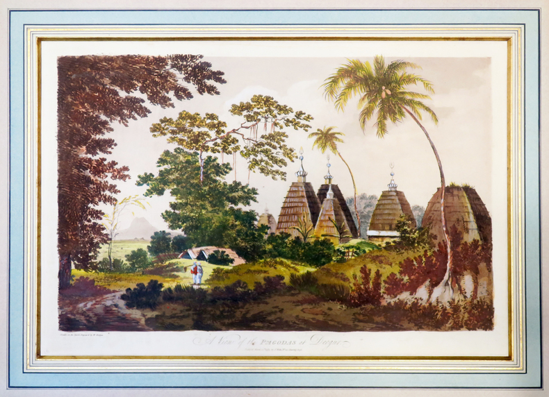
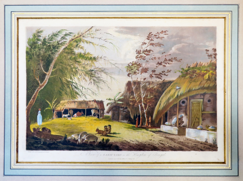
ref. LBW-40021787. 313 x 453 mm, sous passe-partout.
ref. LBW-40031787. 312 x 452 mm, sous passe-partout.
1766ref. 016077London: Printed for S. Crowder 1766. Book. Very Good. Hardcover. The Second Edition. Folio 21 x 32cm. The second edition with additions and improvements; pp. iv 45 iii publisher's adverts; engraved frontispiece map of the world five further engraved plates of maps and one engraved plate of globes ten engraved figures and diagrams within the text. Contemporary half textured calf binding with marbled paper boards expertly restored with a new spine in matching style re-corned. contents clean and tight a few small marks/reading wear; frontispiece plate with a couple of short edge-tears expertly and inconspicuously repaired a few corners re-tipped. A very good well-presented copy. Scarce. Printed for S. Crowder Hardcover
1930ref. 5743Fondation Victor Hugo sans date ( vers 1930 ). Chemise in-16 dépliante de 6 pages au format 8,5 x 14,5 cm. Couverture illustrée par Francisque Poulbot. Contient l'appel à contribution pour entretenir une chaire Victor Hugo à la Sorbonne, rédigé par Edouard Herriot, avec signature autographe en fac-similé, un dépliant incitant les enfants à acheter et à faire acheter des cartes postales Victor Hugo et 5 magnifiques Cartes Postales en couleurs, illustrées par Francisque Poulbot illustrant des vers de Victor Hugo extraits de " La Légende des Siècles " et des extraits des " Misérables ". Pochette d'origine avec déchirures et infimes manques au pliures. Rare édition originale.
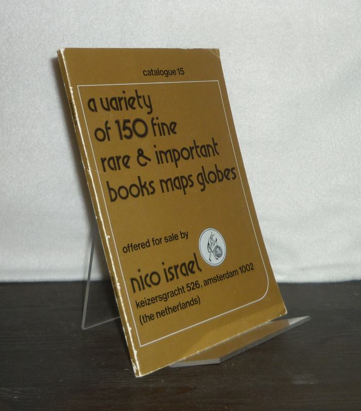
1960ref. 3127137Amsterdam: Nico Israel (um 1960). 88, (1) Seiten. Mit vereinzelten Illustrationen. 8° (17,5-22,5 cm). Illustrierte Orig.-Broschur. [Softcover / Paperback].