[HÜSEYIN] FEVZI KURTOGLU, (1890-1945).MareMagnum
Ronald M AtlasBiblio.com
One Health: People Animals and the Environment
rif. 20866364like new. unknown

GreatBookPrices · Stati Uniti83,20 USD≈ 74,33 €
12.788 risultati
1935Very Good Turkish Modern cloth bdg. Roy. 8vo. (24 x 17 cm). In Turkish. 50, [2] p., 9 unnumbered folded maps. Türk süel alaninda harita ve krokilere verilen deger ve Ali Macar Reis atlasi. First Edition. Extremely rare.
2015New English Original bdg. HC. In publisher's special box. 4to. (31 x 21 cm). In Turkish. 2 volumes set: (440 p.; 328 p.), color and b/w ills. Mamak tarih ve kültür atlasi. 2 volumes set.
2017New English Paperback. 4to. Articles in English and Turkish. 386 p., ills. International Çelebi Research Symposium Proceedings.= Uluslararasi Kâtip Çelebi Arastirmalari Sempozyumu Bildirileri.
1992Fine Fine English Original bdg. Dust wrapper. Folio. (33 x 23 cm). In English. 159, [1] p., color ills. Ottoman nautical charts and the Atlas of Ali Macar Reis. 16th century Ottoman nautical charts figure significantly in the history of cartography. Dating from the time when the Ottoman Empire was approaching its zenith of wealth and power, these charts are a valuable source of information about the history of the period. The work of the Ottoman privateers who then held sway over most of the Mediterranean, these charts cover a geographical area far beyond the bounds of the Ottoman Empire. as rulers of an expanding empire, the Ottoman sultans took a close interest in mapmaking and may well have commissioned their sea captains to draw the charts. When Piri Reis presented his first world map to Sultan Selim I, conqueror of Egypt, in 1517, the sultan is said to have declared, "How small is the world for a conqueror.". A very heavy volume.
2019New Turkish Original bdg. HC. 4to. (29 x 24 cm). In Turkish. 173 p., fully color ills., 1 folded map in end-pocket. Yeryüzü suretleri: M. Sinan Genim Koleksiyonundan. [Antique Maps of Istanbul Exhibition catalogue]. 12-27 Nisan 2019. Curated by Erkan Doganay. Ancient Istanbul / Constantinople maps from the Collection of M. Sinan Genim. Includes 78 items such as rare plans, maps, panoramic photographs, engravings of Istanbul and districts from the 15th century to 19th century. Mostly they are printed in Europe, but also in the Ottoman Empire as well. Folded map in end-pocket is "Carte de la Mer de Marmara du Canal des Dardanelles et de celui de Constantinople" par Kauffer. Size: 45 x 86 cm.
1926Very Good Greek, Modern (post 1453) Modern aesthetic full leather bdg. with embossed decorations. Cr. 8vo. (20 x 14 cm). In Greek (Modern). 134 p. (Missing pages at the end), b/w ills., and 4 color folded maps of the continents of Europe, Asia, Africa, and Americas. Not in OCLC. Extremely rare.
rif. 20866364like new. unknown
rif. 0984054928.Gpaperback. Good. Access codes and supplements are not guaranteed with used items. May be an ex-library book. paperback
rif. 21734Antwerpen, Vereniging van Antwerpse Bibliofielen, 2009 Gebonden in kunstleder (atlas) bijdragen in twee boeken, samen in een katonnen omslag. ing. 63pp 76pp. text in nederlands en in English. Bound in artificial leather (atlas) contributions in two books, together in a cotton cover. ing. 63pp 76pp. text in Dutch and in English. ISBN 9789080885509.
rif. 9401184003.Gpaperback. Good. Access codes and supplements are not guaranteed with used items. May be an ex-library book. paperback
rif. 9813271795.Ghardcover. Good. Access codes and supplements are not guaranteed with used items. May be an ex-library book. hardcover
2008rif. Q-1605305154Underdog Press 2008-05-22. Paperback. New. New. In shrink wrap. Looks like an interesting title! Underdog Press paperback
2004rif. Q-0843708646Hammond World Atlas Corp 2004-12-15. Paperback. New. New. In shrink wrap. Looks like an interesting title! Hammond World Atlas Corp paperback
2008rif. Q-2707202398Editions L'Indispensable 2008-11-05. Paperback. New. New. In shrink wrap. Looks like an interesting title! Editions L'Indispensable paperback
1993rif. Q-0316057436Little Brown & Co 1993-03-01. Paperback. New. New. In shrink wrap. Looks like an interesting title! Little Brown & Co paperback
1967rif. 044749Basel und Stuttgart., Kommisionsverlag Helbing & Lichtenhahn., 1967. Herausgegeben im Auftrage der Kantone Basel-Stadt und Basel-Landschaft von der Gesellschaft zur Förderung der Arbeitsgruppe Regio Basiliensis. Ausgearbeitet am Geographischen Institut der Universität Basel unter Leitung von Hans Annaheim. Enthält zahlreiche Karten zu Topographie und Naturraum, Bevölkerung, Kulturlandschaftsgeschichte und Siedlungsraum, Wirtschaftsraum, Verkehrsraum, zentralörtliche Struktur, sozial und kulturräumliche Ordnung, Planung.Die anzahl der Karten ist umständlich zu ermitteln, die meisten Karten sind farbig , jeweils mit Erläuterungen in deutscher und französischer Sprache. Zustand: Aus einer Instiutsbibliothek ausgeschieden, Innendeckel und Titelblatt mit Bibliotheksstempel. 4°. OLeinenringordner.
1960rif. 041111Essen., 1960. Herausgegben vom Siedlungsverband Ruhrkohlenbezirk. 6S. Einleitung in Deutsch, Englisch und Französisch, 38 Seiten Text mit Tabellen und kleinen Karten, 38 ausfaltbare, doppelseitengroße , farbige Karten. Enthält Karten zu Grundstoffindustrie, Verkehrsverbindungen, Verwaltungsgrenzen, natürliche Landschaftsgleiderung, Bodeneigenschaften, Hydrologie, Bevölkerungsentwicklung, Wirtschafts- und Verkehrsentwicklung seit 100 Jahren, Wandel der Bodennutzung, Veränderungen an Gewässern, Insustriestruktur des Ruhrgebiets, Bewertung der Landwirtschaft, Verkehrserschließung, Kommunalstuern, Zersiedelung der Landschaft, Wasserversorgung, Emissionsbelastung, Kohlenarten, Elektrizitätswirtschaft, potentielle Arbeitskraftreserven, Entwicklung der bebauten Fläche, Flächennutzung, Erholung, Landschaftspflegegebiete, Planungsgebiete, Entwicklungsprogramm - Grünflächen - Verkerswege, Ziele der Landesplanung Amt Marl, Leitplan Marl - Planung und Realisierung (am Beispiel Drewer -Süd). Zustand: Schwarzer Leinenatlas, dreifach verschraubt, mit weiß und rot geprägter Titelbeschriftung, Rücken aufgehellt und am unteren Rand mit Kleberesten eines Aufklebers, Titelblatt mit Institutsstempel. 2°. OLeinen.
rif. c2237London,W.&A.K.Johnston Limited,sans date (vers 1910); in-4°,pleine toile éditeur beige illustrée et imprimée en noir et or au 1er plat,dos muet; 2ff.,6pp.(de texte,dont Index des noms).Avec 16 planches hors texte en couleurs : cartes et plans.On a joint de chez le même éditeur une carte " Palestine in time of Christ " en noir, carte volante in-4°,repliée.
rif. ORD-16262London. Sampson Low, Marston & Co. (1935). Fort in-12 (130 x 187mm) percaline verte imprimée et ornée en noir, 15ff., LXVI, 1130 pages, atlas de 64 pages en couleurs et 111 pages de publicités. Couverture tachée sinon très bon état.
1930rif. 296604Bielefeld und Leipzig, Velhagen & Klasing, 1930. Originalhalbleder (Atlas) und Originalleinen. (Namenverzeichnis). 3 Bll. und Karten (Atlas) und VI, 634 S. 2° bzw. 4°. [2 Warenabbildungen]
rif. 1179In 8 à l’italienne,reliure amateur demi-toile bleue.Suite de 48 cartes,contours en couleurs,monde ancien,monde moderne A Paris chez Binet(il manque la page de titre)
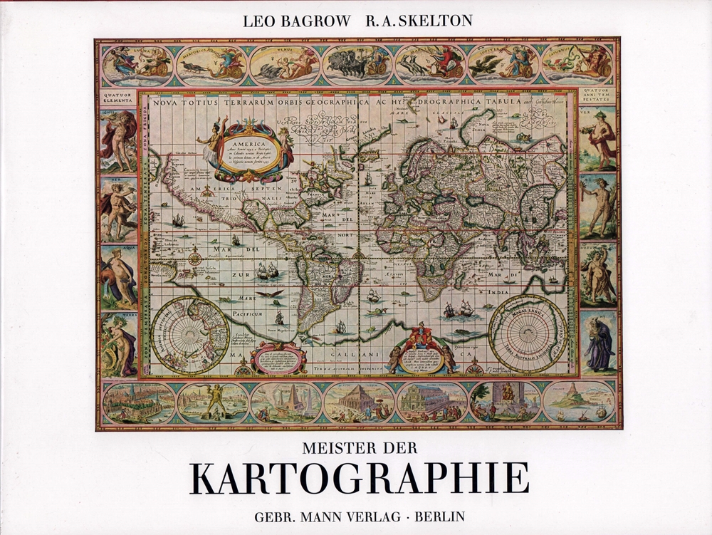
1994rif. 52158Berlin, Gebr. Mann, (1994). 594 S. Mit 171 Taf. (dav. 30 farb.) u. 75 Textabb. Quer-Folio. OLn. mit SU in Pp.-Schuber.
2014rif. 1262112014 Fédération mycologique Dauphiné-Savoie - 2014 - 1 livret de 99 pages (Page 1821 à 1920) + planches couleurs N° 926 à 959 + fiches en N&B N° 1374 à 1419 - In-8, sous chemise cartonnée de l'éditeur
2010rif. 1262092010 Fédération mycologique Dauphiné-Savoie - 2010 - 1 livret de 135 pages (Page 1405 à 1540) + planches couleurs N° 756 à 810 + fiches en N&B N° 1026 à 1150 - In-8, sous chemise cartonnée de l'éditeur
2009rif. 1262072009 Editions Fédération mycologique Dauphiné-Savoie - 2009 - 2 livrets de 63 pages (Page 1265 à 1328) et 75 pages (Page 1329 à 1404)+ planches couleurs N° 700 à 755 + fiches en N&B N° 935 à 1025 - In-8, sous chemise cartonnée de l'éditeur