13 020 résultats
19181 75x92 cm., formato aperto, 18x13,5 chiuso con frontespisio e retro, pi? volte ripiegata, su carta speciale a colori, scala 1: 50.000, in tedesco, buone condizioni.
18882 18,5x13 cm., formato chiuso, formato aperto 56x78 cm., circa, in riquadri su tre file, su carta a colori applicati su tela con copertina e retrocopertina, scala 1:50.000, in tedesco, buone condizioni.
1931réf. 59474Bern: Eidgenossische Landestopographie 1931. gefaltete Karte, farbig, Exemplar in gutem Erhaltungszustand
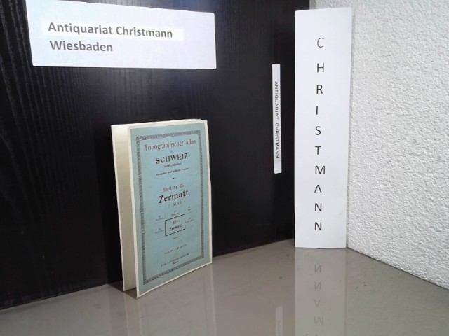
19081 56x91 cm., formato aperto, 21 riquadri su 3 file, carta a colori applicati su tela, scala 1:50.000, in tedesco, buone condizioni.
Landestopographie, Schweiz. 1912. In-8 Carré. En feuillets. Etat d'usage. Couv. légèrement passée. Dos satisfaisant. Mouillures. Grande carte entoilée en couleur d'env. 77/65 cm. Tampon de librairie sur le 1er plat.
Landestopographie, Schweiz. 1903. In-8 Carré. En feuillets. Etat d'usage. Couv. convenable. Dos satisfaisant. Mouillures. Grande carte entoilée en noir et bleu d'env. 77/57 cm. Quelques annotations au crayon sur le bord.
1900in dotazione al Battaglione n.95 1 57x75 cm., formato aperto, 19x12,5 chiuso, su carta a colori, pi? volte ripiegata, scala 1:100.000, in italiano, buone condizioni.
19001 57.5x40,5 cm., formato aperto, 19x10 cm., formato chiuso, 12 riquadri su tre file, su carta a colori applicati su tela, scala 1:200.000, in tedesco, buone condizioni.
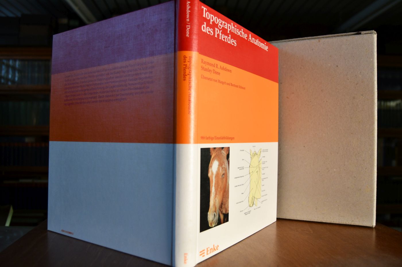
1988réf. 43516Stuttgart : Enke, 1988. 304 S. mit Ill. 31 x 26 cm, Werkstoffeinband ohne Schutzumschlag im OSchuber [4 Warenabbildungen]
H. Dupuis, Paris. Non daté. In-8 Carré. Broché. Etat d'usage. Plats abîmés. Dos abîmé. Intérieur acceptable. Plaquette d'env. 30 pages illustrée de nombreux plans en noir et blanc. Avec quelques feuillets tirés à part. Manques sur le dos et les bords des plats. Tampon sur le 1er plat. Quelques feuillets détachés. Terres arables. Vignobles. Prairies. Friches. Forêts et bois. Fleuves. Dunes. Routes. Ponts. Eglises...
1807réf. 56070Weimar Geographischen Institute 1807-13. Folio-oblong. Loose sheets in a box. Containg 128 engraved maps each measuring ca. 30 x 45 cm. Mostly clean and fine but some with annotations some with browning and some with traces of use. Present are the following maps Sections: 3-12 17-24 29-36 42-48 53-60 64-66 71-74 80-81 86-90 97-98 103-108 114-126 135-142 151-159 167-173 180-186 193-197 204-208 216-219 227-231 239-243 and 248-254. unknown
1820réf. 54816Weimar 1820. Folio. Image of maps: ca. 35 x 44 cm. Paper size: ca. 46 x 56 cm. Engraved title with outline of the maps title-page in French numbered as Section I. Comprising the Sections I-XXXVI XXIX and XXXII with a and b all but the General map in 2 parts not present. Some maps with markings in red and blue. One with dampstain in lower margin a few with minor traces of use but all intact. In all 38 engraved sheets. unknown
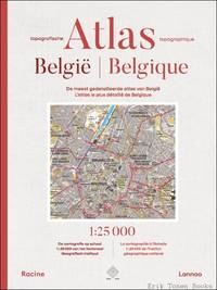
réf. 70918Nationaal Geografisch Instituut Brussel / Lannoo 2026. Hardback 544 pages in-folio Afmetingen hxbxl 543x368x72 mm met prachtige illustraties in kleur. bilingue NL/FR. Nieuw/Neuf. ISBN 9789401498791. De meest gedetailleerde topografische atlas van België - schaal 1:25 000 Deze uitgave bundelt de meest recente cartografie op schaal 1:25 000 1 cm = 250 m van het Nationaal Geografisch Instituut voor het volledige Belgische grondgebied. Het is op dit ogenblik dan ook de meest gedetailleerde atlas van België. Met zijn 472 topografische kaarten die elk ongeveer 160 km² bestrijken biedt deze atlas een overvloed aan topografische informatie: van autosnelwegen en spoorlijnen tot wandelpaden van rivieren tot plassen van landbouwgebieden tot industrieterreinen. Maar ook de exacte locatie van gebouwen - zowel privé als openbare - van hoogtelijnen en zelfs van hoogspanningslijnen kan op de kaarten worden afgelezen. De vele details en het enorme aantal kerken kastelen bruggen molens enzovoort dat door middel van heldere symbolen is aangeduid maken deze atlas tot een onmisbaar naslagwerk voor wandelaars fietsers motorrijders of automobilisten en meer algemeen voor iedereen die een overzicht wil krijgen van de topografie van België. Het register telt 35 410 plaatsnamen van de grootste stad tot het kleinste gehucht.//////// Cet atlas rassemble la cartographie la plus récente à l'échelle 1:25 000 1 cm = 250 m de l'lnstitut géographique national pour l'ensemble du territoire Belge. Il est l'atlas actuel le plus détaillé de Belgique. Avec ses 472 cartes topographiques couvranl chacune 160 km² l'atlas illustre un large éventail d'informations topographiques allant des autoroutes et lignes ferroviaires aux chemins de randonnée des cours d'eau aux étangs et des espaces agricoles aux zones industrielles. On y retrouve également l'emplacement exact des bâtiments - privés el publics - des courbes de niveau et même des lignes à haute tension. La richesse des détails et la multitude de symboles représentant les églises châteaux ponts moulins etc. font de cet atlas une référence incontournable pour les randonneurs cyclistes motocyclistes automobilistes et plus largement pour tous ceux qui souhaitent disposer d'une vue d'ensemble de la topographie belge. Le registre comple 35 4111 noms de lieux allant de la plus grande ville au plus petit hameau. Nationaal Geografisch Instituut Brussel / Lannoo 2026 hardcover
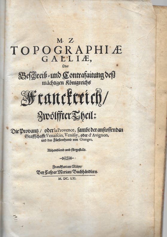
1661réf. 78701 plaquette petit in-folio comprenant 9 cartes, plans et vues. Broché Bon Frankfurt Merian 1661 1 plaquette petit in-folio
réf. 70918, Nationaal Geografisch Instituut Brussel / Lannoo, 2026 Hardback, 544 pages, in-folio, Afmetingen (hxbxl) 543x368x72 mm, met prachtige illustraties in kleur. bilingue NL/FR. Nieuw/Neuf. ISBN 9789401498791.
1820réf. 54816Weimar, 1820. Folio. Image of maps: ca. 35 x 44 cm. Paper size: ca. 46 x 56 cm. Engraved title with outline of the maps + title-page in French numbered as Section I. Comprising the Sections I-XXXVI (XXIX and XXXII with a) and b), all), but the General map (in 2 parts) not present. Some maps with markings in red and blue. One with dampstain in lower margin, a few with minor traces of use, but all intact. In all 38 engraved sheets.
1807réf. 56070Weimar, Geographischen Institute, (1807-13). Folio-oblong. Loose sheets in a box. Containg 128 engraved maps, each measuring ca. 30 x 45 cm. Mostly clean and fine, but some with annotations, some with browning and some with traces of use.
1922réf. RO80032137IEDG. LANDESTOPOGRAPHIE. 1922. In-Plano. En feuillets. Bon état, Couv. convenable, Dos satisfaisant, Intérieur frais. Carte dépliante en couleurs, de 75/80 cm. Légendes en allemand.. . . . Classification Dewey : 912-Atlas, cartes et plans
1912réf. RO40139559Landestopographie, Schweiz. 1912. In-8. En feuillets. Etat d'usage, Couv. légèrement passée, Dos satisfaisant, Mouillures. Grande carte entoilée en couleur d'env. 77/65 cm. Tampon de librairie sur le 1er plat.. . . . Classification Dewey : 912-Atlas, cartes et plans
1903réf. RO40139560Landestopographie, Schweiz. 1903. In-8. En feuillets. Etat d'usage, Couv. convenable, Dos satisfaisant, Mouillures. Grande carte entoilée en noir et bleu d'env. 77/57 cm. Quelques annotations au crayon sur le bord.. . . . Classification Dewey : 912-Atlas, cartes et plans
1906réf. R320071496SCHWEIZ - LANDESTOPOGRAPHIE - BERNE. 1906. In-Plano. En feuillets. Bon état, Couv. convenable, Dos satisfaisant, Intérieur frais. 1 CARTE DEPLIANTE EN COULEUR de dimension 42 Cm X 33,5 Cm environ avec une protection de 2 plats cartonnés semi cartonnées. 1 petite annotation sur le 1er plat (bleu) de presentation .. . . . Classification Dewey : 912-Atlas, cartes et plans
1880réf. R320071499SCHWEIZ - LANDESTOPOGRAPHIE - BERNE. 1880. In-Plano. En feuillets. Etat d'usage, Couv. convenable, Dos satisfaisant, Intérieur acceptable. 1 CARTE DEPLIANTE EN COULEUR de dimension 42 Cm X 33,5 Cm environ avec une protection de 2 plats cartonnés semi cartonnées. 1 petite annotation sur le 1er plat (bleu) de presentation .. . . . Classification Dewey : 912-Atlas, cartes et plans
1900réf. R320071500SCHWEIZ - LANDESTOPOGRAPHIE - BERNE. 1900. In-Plano. En feuillets. Bon état, Couv. convenable, Dos satisfaisant, Intérieur frais. 1 CARTE DEPLIANTE EN COULEUR de dimension 42 Cm X 33,5 Cm environ avec une protection de 2 plats cartonnés semi cartonnées. 1 petite annotation sur le 1er plat (bleu) de presentation .. . . . Classification Dewey : 912-Atlas, cartes et plans
1904réf. R320071501SCHWEIZ - LANDESTOPOGRAPHIE - BERNE. 1904. In-Plano. En feuillets. Bon état, Couv. convenable, Dos satisfaisant, Intérieur frais. 1 CARTE DEPLIANTE EN COULEUR de dimension 42 Cm X 33,5 Cm environ avec une protection de 2 plats cartonnés semi cartonnées. 1 petite annotation sur le 1er plat (bleu) de presentation .. . . . Classification Dewey : 912-Atlas, cartes et plans
1880réf. R320071502SCHWEIZ - LANDESTOPOGRAPHIE - BERNE. 1880. In-Plano. En feuillets. Bon état, Couv. convenable, Dos satisfaisant, Intérieur frais. 1 CARTE DEPLIANTE EN COULEUR de dimension 42 Cm X 33,5 Cm environ avec une protection de 2 plats cartonnés semi cartonnées. 1 petite annotation sur le 1er plat (bleu) de presentation .. . . . Classification Dewey : 912-Atlas, cartes et plans