11 841 résultats
1700réf. 180081700 une gravure couleur, format de la cuvette : 28 x 20 cm, format de la gravure : 39,5 x 27,5 cm, gravé vers 1700 par H. van Loon (sculpsit),
réf. KART0070Paris 1705. Wien - Plangröße: 50 x 165 cm rechter weißer Rand schmal beschnitten ob. Rand etwas ausgefranst mittl. Bugfalte schwach gebr. Ansicht des Donaulaufs von Krems bis Pressburg Wien und Pressburg ringbefestigt. Paris 1705. unknown
2006réf. BN452494NLN Nakladatelství Lidové noviny 2006. 2006. Hardcover. Dejiny Francie Dejiny Francie Marc Ferro NLN, Nakladatelství Lidové noviny hardcover
1926Very Good Turkish, Ottoman (1500-1928) Original bdg. 12mo. (17 x 12 cm). In Ottoman script. 42 p. Stamped and sealed on verso by originally by Anatolian - Baghdad Railways Company. Includes tables of routes, tariffs, price lists, lines within the borders all Turkey. Those lines are Izmir-Aydin Railway (1860-), Izmir-Turgutlu Railway (1865-), European (Sark) Railway (1871-), Anatolian Railway (1872-), Mersin Tarsus Adana Railway (1882-), Baghdad Railway (1904-), Cenup [i.e. East] Railway (1912-). These guides were printed and distributed reference sources in order to provide better service to the early Republican passengers. TBTK 12995.; Not in Özege.; Not in OCLC.
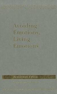
réf. DADAX0367150190Routledge 2019-02-12. 1. hardcover. New. 6.14x0.44x9.21. Buy with confidence. Excellent Customer Service & Return policy. Routledge hardcover

1844FIRST AND ONLY EDITIONS OF TWO EXTREMELY RARE AND EARLY FRENCH RAILWAY PAMPHLETS CONCERNING TRANSPORTATION BETWEEN FRANCE, BELGIUM, AND ENGLAND, EACH OF WHICH INCLUDES A LARGE FOLDING HAND-COLORED MAP IN PRISTINE CONDITION. 7pp + large folding map (54 x 36 cm) with routes colored by hand; 15 pp + large folding map with routes colored by hand. 4to. Sewn together in contemporary wraps. FINE AND BRIGHT. Extremely rare: WorldCat cites only one copy of the the first item (BN) and three of the second.
réf. 33954656-nnew. unknown
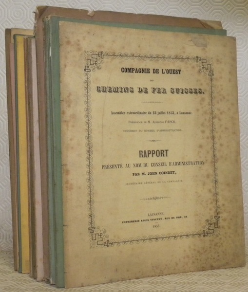
réf. 31811Lausanne, 1853-1873, 270x215mm, broché.
réf. 116331aafA Paris, chez l’Auteur dans l’Isle du Palais à la Spere Royale, Avec rriv. du Roy 1703, 63x66 cm, carte coloriée. Gravé par H. van Loon, Kupferkarte koloriert, à Renforcée au dos dans les plis. Carte un peu froissée. (Carte 55x55 cm).
2013réf. x-0415587549Routledge 2013. Hardcover. New. 1st edition. 154 pages. 9.25x6.25x0.75 inches. Routledge hardcover
réf. 218412Paris: Librairie Générale de L'Architecxture et des Travaux Publics Ducher et Cie nd. Missing 6 20 26 30 32 50 83 of 84 plates 2 of plate 22. 2 page of text. 1 vols. Folio. In portfolio. Some foxing to plates else near fine. Missing 6 20 26 30 32 50 83 of 84 plates 2 of plate 22. 2 page of text. 1 vols. Folio. Librairie Générale de L'Architecxture et des Travaux Publics Ducher et Cie unknown
réf. 218412Paris: Librairie Générale de L'Architecxture et des Travaux Publics Ducher et Cie nd. Missing 6 20 26 30 32 50 83 of 84 plates 2 of plate 22. 2 page of text. 1 vols. Folio. In portfolio. Some foxing to plates else near fine. Missing 6 20 26 30 32 50 83 of 84 plates 2 of plate 22. 2 page of text. 1 vols. Folio. Librairie Générale de L'Architecxture et des Travaux Publics Ducher et Cie unknown books
1900réf. 0086438Wisconsin: np 1900. Wraps. Very Good. A large unique book ca. 1900 14 x 8.5 inches vertically oriented; softcover about 100 pages of typescript in purple carbon very seldom with ink corrections culled from “The Republic” — probably the Baraboo Republic a newspaper of the period published in Baraboo the county seat of Sauk County Wisconsin this book with material relating to the Iron Brigade the 6th Wisconsin Regiment of volunteers who fought for the Union in the Civil War and also concerning the Sauk County Riflemen. It apparently was compiled by a veteran-turned-historian who concludes this compilation writing “Returned to private life -- became the 'man behind the hoe' instead of 'behind the gun.’” Very rare and a great resource for anyone interested in this period of Wisconsin history. np unknown
réf. 980372London: E. F. Beadle and Co. Very Good-. N.D. Three-Quarter Leather. Six novellas of about 100 pages each bound into a single volume -- no over-all title page indicating that this was likely done by the owner rather than the publisher. The spine label carries the title "American Stories. No dates but the various titles date from the mid-1800's. Red leather with black title band. Nice condition with some rubbing to boards. Owner name. Good quality paper - bright and clean. ; 16mo 6" - 7" tall . E. F. Beadle and Co. hardcover
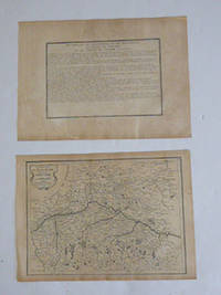
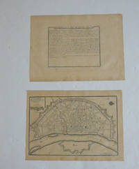
réf. 51-6464Paris: chez l'auteur dans l'Isle du Palais sur le quay de l'orloge a la Sphére Royale avec privilége du Roy 1705-1717. Engraved text broadside and engraved map.Each 27.3 x 38cm. Contemporary laid paper uniformly time aged.Published in "L'atlas curieux ou le monde reÌpreseÌnteÌ dans des cartes geÌneÌrales et particulieres du ciel et de la terre : diviseÌ tant en ses quatre principales parties que par eÌtats et provinces et orneÌ par des plans et descriptions des villes capitales et principales et des plus superbes edifices qui les embelissent comme sont les eglises les palais les maisons de plaisance les iardins les fontaines &c. ". OCLC Number / Unique Identifier:79022119.LThe Atlas Curieux is geographic encyclopedia of images and maps of France with detailed views of the grand waterworks at Marly views of the great palaces and chateaux views and plans of the Paris Observatory and samples of military architecture. Issued in six annual parts from 1700-1705 the maps are based on the new observations of the Académie des Sciences and drawn up with the assistance of Philipe de La Hire.ibrary of Congress:The French cartographer and engraver Nicolas de Fer was a master at creating maps that were works of art. The maps that he published were printed during the Baroque period when the decorative arts were characterized by ornate detail. De Fer’s detailed maps and atlases were valued more for their decorative content than their geographical accuracy.Nicolas de Fer was born in 1646. His father Antoine de Fer owned a mapmaking firm. At the age of twelve Nicolas was apprenticed to a Parisian engraver named Louis Spirinx. The family business was starting to decline when his father died in 1673. Nicolas de Fer’s mother Genevieve took over the business after the death of her husband. In 1687 the business was passed on to Nicolas and the profits increased after he took over the firm. Nicolas de Fer was a prolific cartographer who produced atlases and hundreds of single maps. He eventually became the official geographer to King Louis XIV of France and King Philip V of Spain.One of de Fer’s major works is an atlas titled L’atlas curieux The curious atlas. Paris: chez l'auteur dans l'Isle du Palais sur le quay de l'orloge a la Sphére Royale avec privilége du Roy, 1705-1717 unknown
réf. 51-6460Paris: chez l'auteur dans l'Isle du Palais sur le quay de l'orloge a la Sphére Royale avec privilége du Roy 1705-1717. Engraved text broadside and engraved map.Each 27.3 x 38cm. Contemporary laid paper uniformly time aged.Published in "L'atlas curieux ou le monde reÌpreseÌnteÌ dans des cartes geÌneÌrales et particulieres du ciel et de la terre : diviseÌ tant en ses quatre principales parties que par eÌtats et provinces et orneÌ par des plans et descriptions des villes capitales et principales et des plus superbes edifices qui les embelissent comme sont les eglises les palais les maisons de plaisance les iardins les fontaines &c. ". OCLC Number / Unique Identifier:79022119.LThe Atlas Curieux is geographic encyclopedia of images and maps of France with detailed views of the grand waterworks at Marly views of the great palaces and chateaux views and plans of the Paris Observatory and samples of military architecture. Issued in six annual parts from 1700-1705 the maps are based on the new observations of the Académie des Sciences and drawn up with the assistance of Philipe de La Hire.ibrary of Congress:The French cartographer and engraver Nicolas de Fer was a master at creating maps that were works of art. The maps that he published were printed during the Baroque period when the decorative arts were characterized by ornate detail. De Fer’s detailed maps and atlases were valued more for their decorative content than their geographical accuracy.Nicolas de Fer was born in 1646. His father Antoine de Fer owned a mapmaking firm. At the age of twelve Nicolas was apprenticed to a Parisian engraver named Louis Spirinx. The family business was starting to decline when his father died in 1673. Nicolas de Fer’s mother Genevieve took over the business after the death of her husband. In 1687 the business was passed on to Nicolas and the profits increased after he took over the firm. Nicolas de Fer was a prolific cartographer who produced atlases and hundreds of single maps. He eventually became the official geographer to King Louis XIV of France and King Philip V of Spain.One of de Fer’s major works is an atlas titled L’atlas curieux The curious atlas. Paris: chez l'auteur dans l'Isle du Palais sur le quay de l'orloge a la Sphére Royale avec privilége du Roy, 1705-1717 unknown
1950réf. 532291950 Paris, Documents et Collections d'art , 1950, In quarto , 420 pp, reliure d'éditeur en demi-toile grise ,avec pièce de titre en cuir rouge,en très bon état,
1993Edizione italiana a cura di Lucia Pirzio Biroli Stefanelli. Traduzione dall'inglese di Maria Josè Strazzulla. Roma, 1993; ril. in cofanetto, pp. 324, 61 ill. b/n, 58 ill. col., cm 23x28. (Il metallo. Mito e fortuna nel mondo antico). italiano 88-7062-80 Il metallo. Mito e fortuna nel mondo ant.. 0004
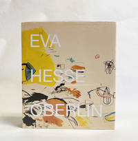
2019réf. 024607Hauser & Wirth New York 2019. Book. New. Cloth. 428 pages with 391 illustrations in color. Still in shrink-wrap. Edited by Barry Rosen. Foreword by Helen Hesse Charash and Andria Derstine. Hauser & Wirth, New York Hardcover
2011réf. x-0415555027Routledge 2011. Hardcover. New. 1st edition. 184 pages. 9.49x6.14x0.71 inches. Routledge hardcover
2019réf. x-0367137089Taylor & Francis 2019. Hardcover. New. 293 pages. 9.25x6.25x0.75 inches. Taylor & Francis hardcover
réf. 2n1002Imprimerie Impériale Paris 1862. IX 185 S. mit eingen Tabellen Halbleder-Einband mit goldgeprägtem Rückentitel und 4 Schmuckbünde quart Kanten etwas berieben und bestoßen/Titelseite randfleckig. unknown
1895réf. 288201895 une lettre ORIGINALE CONFIDENTIELLE, de 4 pages (une grande feuille pliée en deux), à en-tête imprimé en noir : aux armes gravées en noir du comte de Gramont, sur papier crème, lettre autographe manuscrite à l'encre brune et signée par Antoine X Agénor de Gramont (1819-1880) - 10e Duc (Ministre des Affaires étrangères sous Napoléon III), format : 20,6 x 27 cm, PARIS, le 23 Novembre 1879,
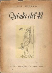
réf. 126760Editora Nacional Taller de Artes gráficas de los Hermanos Bedia 1952 Santander. 1ª edición. . 23x16. 166 pgs. Manchas de agua. Q8384 Editora Nacional, Taller de Artes gráficas de los Hermanos Bedia, 1952, Santander. 1ª edición. unknown
réf. 16018Dessin à l'encre de Chine, gouache et aquarelle, (1945), 21.5 X 17.5 cm.