12 145 résultats
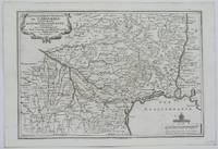
1760réf. M5799Paris: Desnos 1760. Very Good. Notes: French map of Poland Lithuania and the surrounding region. 1760 edition of rare Nicolas De Fer's map. Size : 480x590 mm 18.875x23.25 Inches Coloring: Hand Colored in Outline Category: Maps Europe Poland Lithuania Desnos unknown
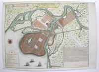
1717réf. M3039Paris 1717. margins trimmed and laid down on 18th century paper otherwise very good. Notes: StolenRare map of the Imperial capital city during the reign of Alexander I with its traditional regular street layout and eleven districts. The map provides excellent detail of the public buildings docks and shipyards fortifications palaces churches hospitals universities etc Size : 365x473 mm 14.375x18.625 Inches Coloring: Hand Colored Category: ; Maps Russia; Maps City Maps unknown
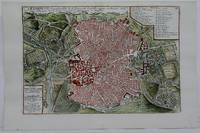
1705réf. M5230Paris 1705. Excellent. Size : 225x335 mm 8.875x13.125 Inches Coloring: Hand Colored Category: Maps City Maps; Maps Europe Portugal unknown
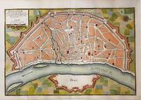
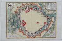
1705réf. M5135Paris 1705. Very Good. Notes: Copper engraved plan of Cologne Köln in Germany. It is beautifully hand coloured. Size : 235x350 mm 9.25x13.75 Inches Coloring: Hand Colored Category: Maps City Maps; Maps Europe Germany unknown
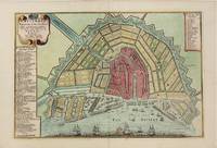
1705réf. M4585Paris 1705. Very Good. Size : 230x340 mm 9x13.375 Inches Coloring: Hand Colored Category: Maps City Maps; Maps Europe Benelux unknown
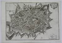
1705réf. M5142Paris 1705. Excellent. Size : 237x346 mm 9.375x13.625 Inches Coloring: Black & White Category: Maps City Maps; Maps Europe France unknown
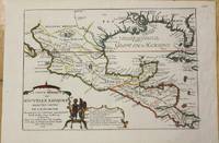
1705réf. M772Paris 1705. Excellent. Notes: This map covers the Gulf of Mexico through Central America and includes parts of Cuba and Jamaica. It extends through Mexico to show the southern tip of Baja California. This is an early map to show the correct location of the Mississippi River delta gleaned from the expeditions of La Salle and Iberville. Two French forts are located: LaSalle's Fort St. Louis in Texas Fortbati en 1685 and another near present-day New Orleans. One of the prominent features in northern Mexico is Les Fameuses Mines de Ste. Barbe the legendary Santa Barbara mines of the Chihuahua-Durango region. Size : 230x335 mm 9x13.125 Inches Coloring: Original Outline Coloring Category: Maps Central America Mexico unknown
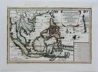
1702réf. M5177Paris 1702. Excellent. Size : 235x340 mm 9.25x13.375 Inches Coloring: Original Outline Coloring Category: ; Maps Asia South East unknown
1706réf. M6655Paris c. 1706. Very Good;. Notes: Cartouche in upper right corner depicts the shield of the Royal coat of arms of the United Kingdom three hunting dogs and a cockfight. The cartouche in the upper left defines the geographical coordinates of London Edinburgh Dublin and Dunkirk. Size : 460x486 mm 18.11x19.13 Inches Coloring: Original Outline Coloring Category: Maps Europe United Kingdom; Maps Europe Ireland; unknown
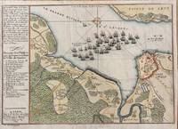
1694réf. M7337Paris: N. de Fer c.1694. Very Good; . Notes: According to Kershaw this map was originally published in "Les Forces De L'Europe" "In August 1690 Sir William Phips left Boston to attack and capture Quebec. Previous military success at Port Royal had given the English an excess of confidence which Phips fully exploited in planning his expedition against Quebec but which quickly evaporated when the under-equipped force discovered the extent of the defenses at Quebec. The operation was disastrous and the English struggled back to Boston losing a number of ships on the way. The battle lines of the English fleet and the details of the French defences were recorded by Villenuve in manuscript form which were subsequently the source of a sequence of printed maps." Kershaw Size : 209x303 mm 8.23x11.93 Inches Coloring: Hand Colored Reference: Kershaw 279 Category: Maps Canada East Quebec Quebec City; Maps City Maps; N. de Fer unknown
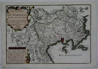
1708réf. M5770Paris 1708. Very Good. Size : 240x345 mm 9.5x13.625 Inches Coloring: Hand Colored Category: ; Maps Europe France unknown
1705réf. M4699Paris 1705. Excellent. Size : 245x340 mm 9.625x13.375 Inches Coloring: Hand Colored Category: Maps City Maps; Maps Europe Austria unknown
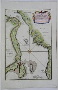
1705réf. M5485Paris 1705. Very Good. Notes: Map of strait between Sweden and Denmark. Size : 335x225 mm 13.125x8.875 Inches Coloring: Hand Colored Category: Maps Europe Scandinavia Countries; unknown
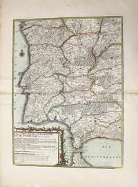
1790réf. M10223Paris: Chez Desnos 1790. Very Good. Notes: Detailed map of Portugal and western Spain showing Gibraltar region. Size : 580x432 mm 22.83x17.01 Inches Coloring: Original Hand Coloring Category: Maps Europe Portugal; Maps Europe Spain; Chez Desnos unknown
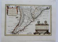
1704réf. M5174Paris 1704. Excellent. Notes: French Map of Chile by renowned French cartographer. Size : 235x340 mm 9.25x13.375 Inches Coloring: Original Outline Coloring Category: Maps South America Countries; unknown
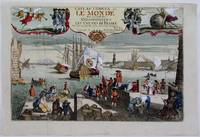
1725réf. M4694Paris 1725. Excellent. Notes: A decorative and beautifully hand coloured title page of the important atlas L'Atlas Curieux ou Le Monde" by Nicholas de Fer. Size : 220x335 mm 8.625x13.125 Inches Coloring: Hand Colored Category: Maps Misc Curiosities Title Pages Games etc. unknown
1705réf. M5133Paris 1705. Excellent. Size : 236x345 mm 9.25x13.625 Inches Coloring: Black & White Category: Maps Europe France unknown
1706réf. M6388Paris 1706. Very Good margins extended. Size : 130x180 mm 5.125x7.125 Inches Coloring: Hand Colored Category: ; Maps Europe Portugal unknown
1995réf. Records5-NineSafehouse Records 1995-06-26. Vinyl. Like New. 12x12x0. Cut-out. Still sealed in shrink wrap. Ships fast and guaranteed well protected with domestic tracking. Safehouse Records unknown
réf. DADAX1569315353New unknown
réf. DADAX1589804309New unknown
réf. DADAX1589831071New unknown
réf. DADAX1602707480New unknown
réf. DADAX1878086952New unknown
réf. DADAX2738435068New unknown