12.011 risultati
1928Num?ro complet.
rif. RO80213373Syndicat d'initiative de Wissant - Site des deux caps. Non daté. In-4. Broché. Bon état, Couv. convenable, Dos satisfaisant, Intérieur frais. 67 pages. Nombreusres illustrations, photographies et plans en noir et blanc dans et/ou hors texte.. . . . Classification Dewey : 625-Chemins de fer, routes, autoroutes
rif. RO20147444?ENCYCLOPEDIE CALBERSO / THIBAULT DE CHAMPROSAY. Non daté. In-Folio. En feuillets. Bon état, Couv. convenable, Dos satisfaisant, Intérieur frais. Non paginé, environ 30 planches illustrées en couleurs. Emboitage frotté. Planches regroupées dans 2 cartonnages d'éditeur succesifs.. . Sous Emboitage. A l'italienne. Classification Dewey : 625-Chemins de fer, routes, autoroutes
1893rif. GITk417Nancy Imprimerie Nicolles 1893. In-16 broché 3 feuillets non chiffrés 8-57pp. Quelques figures dans le texte, 1 carte géologique de la Moselle hors texte comprise dans la pagination. Papier bruni uniformément sans gêne pour la lecture. Exemplaire complet. (5120)
1890rif. 22321Tours Mame et Fils 1890 -in-8 pleine percale un volume, cartonnage polychrome - percaline (bleu-nuit, VERTE, et or) grand in-octavo Editeur à plaques spéciales polychromes pour le dos et les plats (editor hard-back percale with special covers editor for the spine and the cover in-octavo) (25 x 17 cm), toutes tranches dorées (all edges gilt), reliure signée : "Souze", pages de garde marron, Ouvrage orné de nombreuses gravures et de cartes in et hors-texte en noir , naissances de rousseurs (beginning of the redness marks), plat légèrement frotté, petites taches en haut du mors du 1er plat et mors légèrement fendu en partie basse du 4ème plat sur 3 cm sinon bel Exemplaire, 397 pages, 1890 Tours Alfred Mame et Fils Editeurs,
1890rif. 3771890 MAME TOURS 1890-le canal de Suez-le pont d'Anvers-la traversée des Alpes-les acqueducs de Paris ~ -le cable transatlantique-les chemins de fer de l'Atlantique au Pacifique- les ponts métalliques-etc -IN4 cartonnage ed.-ler plat plaque signée P.SOUZE -dos lisse orné-tranches dorées -bois in et ht
rif. 19218Paris Publications Octave Beauchamp s.d. (circa 1910) - Broché 13 5 cm x 18 5 cm 30 pages+ 2 pages d'excursions+1 carte couleur double page cartes in-texte anonyme ills et photos noir et blanc et sépia in et hors-texte - Texte anonyme ills de Mopenot - Très bon état
rif. R320050633IMPRIMERIE MODERNE. NON DATE. In-8. Broché. Etat passable, Tâchée, Agraffes rouillées, Fortes mouillures. 30 pages - Nombreuses illustrations monochromes in et hors texte + 1 carte couleurs en fin d'ouvrage.. . . . Classification Dewey : 908.4486-Régionalisme : Midi-Pyrénées
1914Volume della seconda decade del '900 in stato discreto, coperta illustrata in cartoncino, catalogazione bibliotecaria in parte cancellata e timbro ex biblioteca su piatto anteriore, alcuni segni del tempo, bruniture, fioritura sparsa, tagli leggermente ambrati, quello di testa brunito, pagine discretamente conservate, alcune e margini leggermente ambrati, presenza di gora. Presenta timbro ex biblioteca su frontespizio e sul margine di piede di qualche pagina, figure in nero, fuori testo, III tavole, su carta patinata, con illustrazioni in b. e n. fuori testo, in fondo a volume I tavola, fuori formato, ben piegata, busta con lembo incollato su ultimo foglio di guardia contenente due cartine, fuori formato, ben piegate. No. 219 della collana Canada - Ministère des Mines - Division des Mines, direttore: Eugene Haanel, Ph.D. Numero Pagine 14 USATO
1932rif. 31937Paris, Payot 1932 In-8 276 pp dont 9 croquis et 4 gravures
rif. 6143PML éditions, 1996. Grand in-4, cartonnage photographique sous jaquette assortie. En belle condition. Abondamment illustré de photographies en couleurs.
rif. 20446Cartonnage illustré de l'éditeur, 30X21 cm, 1995, 110 pages, nombreuses illustrations en noir (photos et dessins), éditions Pierron. Très bon état.
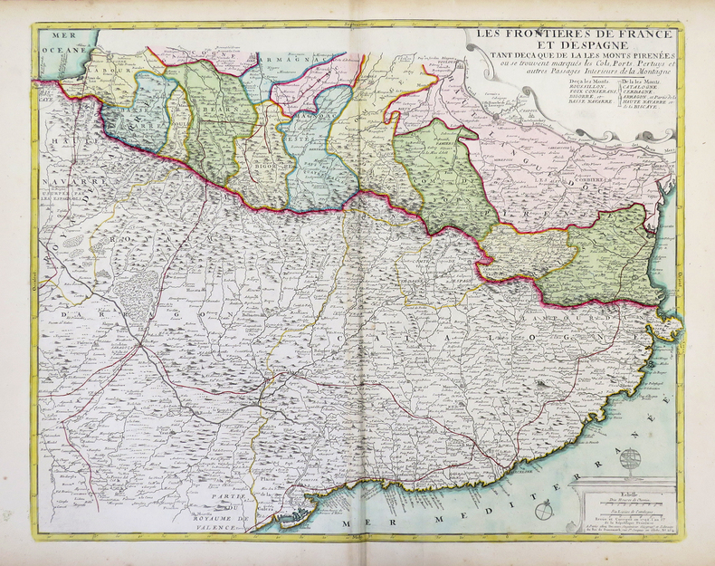
1792rif. LBW-4312Paris, Desnos, 1792. 498 x 603 mm.
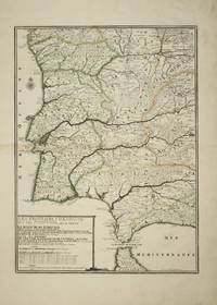
rif. 4614Paris: 1705. No binding. Good. 575 x 425 mm. early outline colour light browning to the left of the centrefold otherwise in good condition. This fine map of Portugal by Nicholas de Fer is engraved by P. Starckman. It was issued in the first edition of the ""Atlas ou Recueil de Cartes Geographiques"" 1709. Pastoureau 1984 De Fer II C no. 72. 1705 unknown
rif. 10370Paris: 1705. No binding. Good. 575 x 425 mm. early outline colour in good condition. This fine map of Portugal by Nicholas de Fer is engraved by P. Starckman. It was issued in the first edition of the ""Atlas ou Recueil de Cartes Geographiques"" 1709. Pastoureau De Fer II C no. 72. 1705 unknown
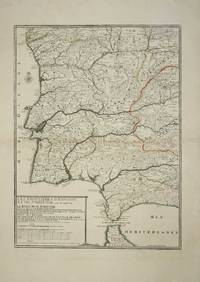
1742rif. M4678Paris 1742. Very Good. Size : 575x430 mm 22.625x16.875 Inches Coloring: Original Outline Coloring Category: ; Maps Europe Spain; Maps Europe Portugal unknown
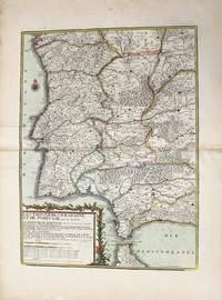
1790rif. M10223Paris: Chez Desnos 1790. Very Good. Notes: Detailed map of Portugal and western Spain showing Gibraltar region. Size : 580x432 mm 22.83x17.01 Inches Coloring: Original Hand Coloring Category: Maps Europe Portugal; Maps Europe Spain; Chez Desnos unknown
rif. LFA-126721231Une plaquette de 22 pages, format 180 x 230 mm, illustrée, brochée couverture couleurs, s.d., Impr. du Centre, bon état, rare
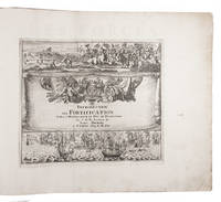
1702rif. 23526Paris 1702. Oblong 1mo 30 x 37 cm. chez l'auteur" = Nicolas de Fer a false imprint Contemporary tanned sheepskin sewn on 5 cords gold-tooled spine with the title in the 2nd of 6 compartments. Ad 1 with 10 letterpress title pages in red and black for the 10 parts; 5 engraved titles for parts 1-5 that for part 5 repeating that for part 2; plus 234 beautifully engraved plates a few folding with 366 maps and views of fortified cities. Ad 2 with an engraved title page 2 letterpress title pages in red and black and 40 engraved plates including 2 folding labelled A-S in part 1 and T-Oo in part 2. 2 works in 12 parts or volumes bound as 1. Splendid atlas of fortifications of the cities of Europe plus Malta and some other Mediterranean sites combined with a maritime atlas of the French coasts published by Pieter Mortier 1661-1711. Both are based on the similar publications of Nicolas de Fer 1646-1720 and falsely indicate that they were published by him.Ad 1: The atlas of fortified cities of Europe. Many of the plans show the work of the greatest 17th-century masters of the art and science of fortification including Samuel Marolois Simon Stevin and Sébastien Le Prestre de Vauban. The last two parts contain primarily smaller maps printed 4 to the page. Ad 2: The maritime atlas of the coasts of France. It also shows the fortifications along the coasts so it complements the fortifications atlas and was clearly designed to match it in format and style. With the caption of one plate cut off and 2 plates and 1 letterpress title-page somewhat browned. Further in good condition. A couple plates are bound in the wrong volume. A splendid fortifications atlas.l Ad 1: Muller Historieplaten 3034a; cf. Pastoureau Atlas français IX A & H pp. 203-209 213: Paris Fer ed. 1690-1695 & Amsterdam Mortier ed. 1702 with different title; Phillips pp. 256-7 other ed.; Ad 2: Muller Historieplaten 3034a; Pastoureau Les atlas français XVIe-XVIIe siècles Fer VIII B p. 203 cf. pp. 201-203; for Mortier see: Koeman III pp. 4-10 and IV p. 423. unknown
rif. RO30141330CENTRE CULTUREL DE LA COMMUNAUTE FRANCAISE DE BELGIQUE. NON DATE. In-4. Broché. Bon état, Couv. convenable, Dos satisfaisant, Intérieur frais. 43 pages augmentées de nombreuses photos et illustrations en noir et blanc et en couleurs dans et hors texte. . . . Classification Dewey : 625-Chemins de fer, routes, autoroutes
1984Reli?. 63 pages. 21,5 x 27,5 cm.
2007rif. RO20153086ROCHER. 2007. In-8. Broché. Etat d'usage, Couv. convenable, Dos satisfaisant, Intérieur frais. 185 pages augmentées de quelques planches photos en couleurs hors texte.. . . . Classification Dewey : 625-Chemins de fer, routes, autoroutes
1930rif. AUB-9530Paris en la rue de Beaune à l'enseigne du Pot cassé 1930 (coll. Lumen animi). Bel exemplaire broché, couverture ornée d'origine, in-8, 208 pages + table.