|
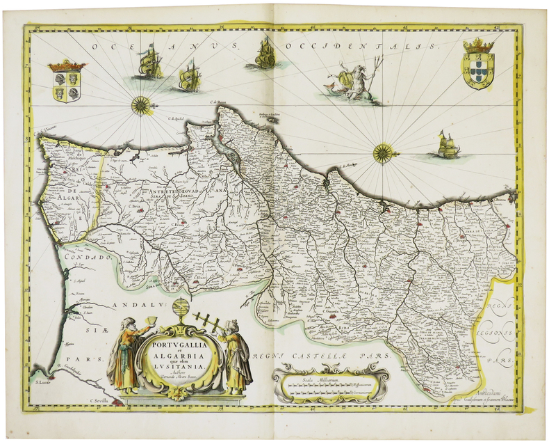
BLAEU (Willem & Johannes).
[PORTUGAL] Portugallia et Algarbia quae olim Lusitania.
Amsterdam, [circa 1640]. 382 x 498 mm.
书商的参考编号 : LBW-1469
|
|
|
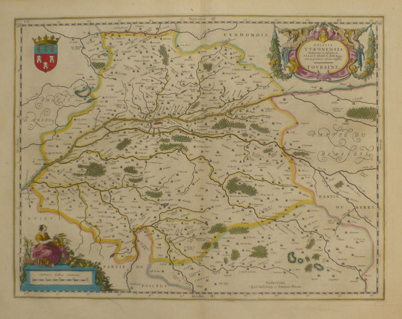
BLAEU (Willem & Johannes);
Ducatus Turonensis - Touraine.
Amsterdam 1661 380 x 497 mm.
书商的参考编号 : LBW-862
|
|
|
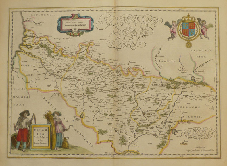
BLAEU (Willem & Johannes);
Picardia regio Belgica.
Amsterdam 1661 379 x 532 mm.
书商的参考编号 : LBW-859
|
|
|
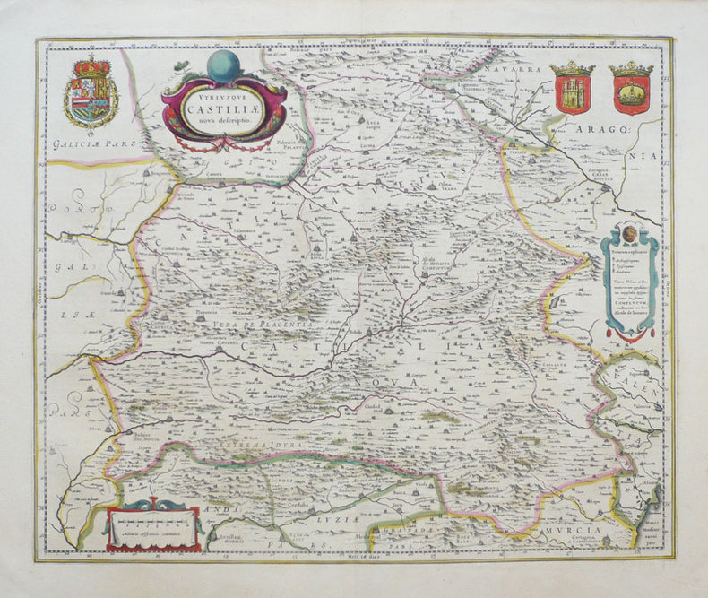
BLAEU (Willem & Johannes);
Utriusque Castiliae nova descriptio.
Amsterdam 1638-1640 411 x 501 mm.
书商的参考编号 : LBW-949
|
|
|
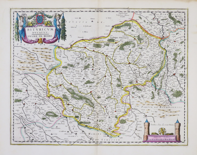
BLAEU (Willem).
[BERRY] Bituricum ducatus - Duché de Berri.
Amsterdam, [1643-1650]. 380 x 498 mm.
书商的参考编号 : LBW-861
|
|
|
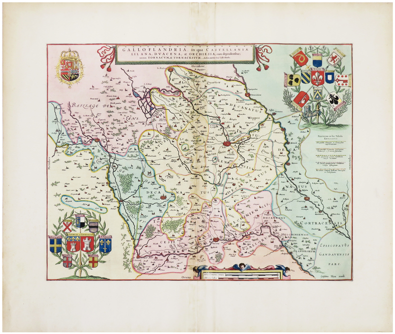
BLAEU (Willem).
[FLANDRE] Galloflandria, in qua Castellaniæ Lilana, Duacena, & Orchiesia, cum dependentibus ; nec non Tornacum, & Tornacesium.
[Amsterdam, 1662]. 374 x 486 mm.
书商的参考编号 : LBW-6308
|
|
|
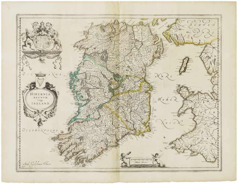
BLAEU (Willem).
[IRLANDE] Hibernia regnum vulgo Ireland.
[Amsterdam, vers 1640]. 384 x 497 mm.
书商的参考编号 : LBW-1474
|
|
|
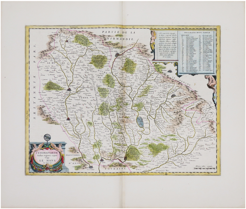
BLAEU (Willem).
[MAINE] Cenomanorum Galliæ regionis typus vulgo Le Mans.
[Amsterdam, 1642-1650]. 382 x 500 mm.
书商的参考编号 : LBW-8049
|
|
|
BLAEU (Willem);
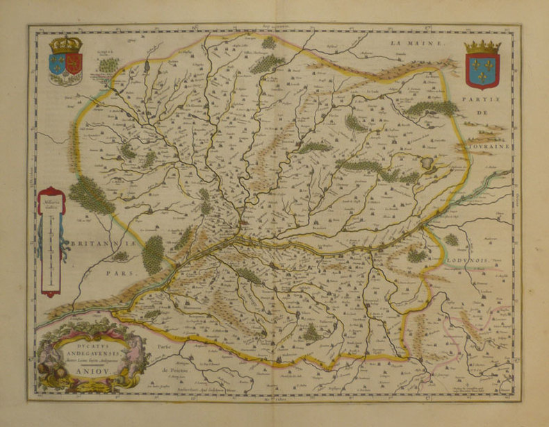
Ducatus Andegavensis - Anjou.
Amsterdam 1661 381 x 497 mm.
书商的参考编号 : LBW-863
|
|
|
Blaeu, Guiljelmum [Willem Janszoon]; Blaeu, Ioannem [Joan]
Brandeburgum Marchionatus. cum Ducatibus Pomeraniae et Mekelenburgi. 1635. [Altkolorierter Kupferstich, gerahmt / handcoloured copper engraving, framed].
o.J. [3 Warenabbildungen] (Guiljelmum Blaeu, dt. Willem Janszoon Blaeu, geb. 1571 in Alkmaar oder Uitgeest, gest. 1638, niederländischer Kartograf
书商的参考编号 : 66144CB

|
|
|
Blaeu, Joan (maps) and Peter Van Der Krogt (introduction and text)
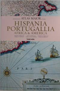
Joan Blaeu Atlas Maior of 1665: Hispania Portugallia Africa & America
Köln: Taschen 2006. Hardcover. Very Good/Very Good. 15.3x10.3x1.2in. small indents on back cover. Dust jacket in clear protector. <br>Reproduces all 64 maps of Spain Portugal Africa and America and the original commentaries from John Blaeu's Atlas Major of 1665 "the greatest and finest atlas ever published." Text in Spanish English and Portuguese. <br>232pp 4.66lb 15.3x10.3x1.2in Taschen hardcover
书商的参考编号 : 30647 ???????? : 382285106X 9783822851067
|
|
|
Blaeu, Johan [Joan Blaeuw]
Iutia olim Cimbrica Chersonesus [Jütland, einst Cimbrica Chersonesus]. Kolorierte Kupferstichkarte mit 2 figürlichen Kartuschen.
[Amsterdam, Johannes Blaeu, [ca. 1667]. Darstellung ca. 43,5 x 57,5 cm., Blatt ca. 52 x 61 cm.
书商的参考编号 : 79684

|
|
|
Blaeu, Johannes; [Joan Bleau]
Calabria Citra olim Magna Graecia. [Altkolorierter Kupferstich / colored copper engraving].
o.J. Joan Blaeu (Johannes Blaeu), geboren 1596 in Alkmaar, Niederlande; gestorben 1673 in Amsterdam.
书商的参考编号 : 53247BB

|
|
|
Blaeu, Willem
Stiria. Steyrmarck. Zeitgenössisch grenzkolorierte Kupferstichkarte.
Amsterdam, W. Blaeu um 1639. Bildausschnitt: 50x37,5 cm, Blattgröße: 49,7 x 59 cm; mittiger, gebräunter Falz, oben rechts dekorative Wappenkartusche, auf Rückseite lateinische Legende mit attraktiver Anfangsinitiale. Attraktives Blatt.
书商的参考编号 : KART0160

|
|
|
Blaeu, Willem Janszoon
Circulus Westphalicus sive Germaniae inferioris. [Altkolorierter Original-Kupferstich / original colored copper engraving].
o.J. Willem Janszoon Blaeu, (auch: Guiljelmus Blaeuw, Willem Jansz, Willems Jans Zoon, Guilielmus oder G. Blaeu), geboren 1571 in Alkmaar oder Uitgeest, gestorben 1638 in Amsterdam. Niederländischer Kartograf und Verleger. [2 Warenabbildungen]
书商的参考编号 : 12065DB

|
|
|
Blaeu, Willem Janszoon
Ducatus Luneburgensis adiacentiumque regionum delineatio. 1635. [Altkolorierter Kupferstich, gerahmt].
o.J. (Willem Janszoon Blaeu, geb. 1571 in Alkmaar oder Uitgeest (NL), gest. 21.10.1638 in Amsterdam, niederländischer Kartogr
书商的参考编号 : 66533CB
|
|
|
Blaeu, Willem Janszoon
Saxonia Superior, & Hall Episcopatus. 1662. [Altkolorierter Kupferstich, gerahmt].
o.J. (Willem Janszoon Blaeu, geb. 1571 in Alkmaar oder Uitgeest (NL), gest. 21.10.1638 in Amsterdam, niederländischer Kartogr
书商的参考编号 : 66534CB
|
|
|
Blaeu, Willem Janszoon:
"Territorium Norimbergense". Kupferstich mit zwei zeitgenössisch kolorierten dekorativen Kartuschen und rechts unten mit einer Gesamtansicht von Nürnberg aus der Vogelschau sowie mit zeitgenössischenm Grenz- und Landschaftskolorit.
36,5 x 47 cm. Blattgröße: 50 x 61 cm. *Rückseitig ohne Text. Breitrandiges sehr gut erhaltenes Exemplar, lediglich am Unterrand leicht fingerfleckig. Landkarten de
|
|
|
BLAINVILLE:
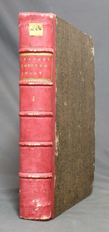
Travels Through Holland, Germany, Switzerland, and Other Parts of Europe, But Especially Italy. Vol. I.
London, printed by W. Strahan for John Noon and R. Dodsley, 1743. In-4 de [6]-XII-[16-index]; de 49 à 564-XII (the contents)-[2] pages, demi-basane vieux rose, coins de veau brun, dos à 5 nerfs avec titre et encadrement dorés, tranches marbrées.
书商的参考编号 : 12672
|
|
|
Blair, John L. (editor)
The Lake District
No marks or inscriptions. A very clean very tight copy with bright unmarked boards and no bumping to corners. Dust jacket not price clipped with dusty rear, piece missing around spine foot and a few small tears. 124pp. A guide to England's Lake District. Undated ca 1958.

|
|
|
Blake, Don
Blakeburn - From Dust to Dust: The Rise and Fall of a Coal Mining Town
(iv), 164 pages. Bibliography. Tables. Many black and white reproductions of archival black and white photos. Two fold-out maps. Author discovered the remains of Blakeburn while on vacation and, after finding a dearth of relevant history, decided to write a history of the town, located northwest of Princeton, B.C. First fold-out map shows the major buildings in Blakeburn and the underground workings of her three major mines in 1935. Second map shows No. 4 mine after the August 13, 1930 explosion. (Hale & Barman 84) Book

|
|
|
BLANC - DUVIOL
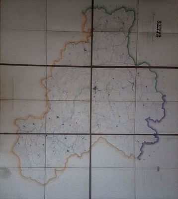
Carte routière et vicinale de l'arrondissement de Lodève dressée sous l'administration de Monsieur Balland, Préfet de l'Hérault, de Monsieur Alazard sous Préfet par Blanc, Agent Voyer ordinaire et Duviol, Agent Voyer conducteur, dessinateur
Vers 1850. Superbe carte monumentale entoilée manuscrite, encre et aquarelle, de 6 feuilles mesurant en totalité 1, 20 mêtre sur 1,32 mètre. Chaque feuille de 60 x 44 cm. L'ensemble replié dans un étui cartonné, titre sur une vignette contrecollée. Echelle de 23 dix millième de mètres pour 100 mètres. On notera une grande précision dans le dessin quant aux chemins vicinaux, à l'habitat, aux noms des Hameaux, Mas, Lieux dits, Riviéres ou Ruisseaux, Moulins ou Usines, Auberges, Relais de Poste, Eglises, Ponts, Ruines, Bergeries avec noms des propriétaires etc. Etui un peu frotté, vignette contrecollée tachée. Très bel état de la carte.

|
|
|
BLANC - DUVIOL
Carte routière et vicinale de l'arrondissement de Lodève dressée sous l'administration de Monsieur Balland, Préfet de l'Hérault, de Monsieur Alazard sous Préfet par Blanc, Agent Voyer ordinaire et Duviol, Agent Voyer conducteur, dessinateur
Sans lieu Vers 1850. Superbe carte monumentale entoilée manuscrite, encre et aquarelle, de 6 feuilles mesurant en totalité 1, 20 mêtre sur 1,32 mètre. Chaque feuille de 60 x 44 cm. L'ensemble replié dans un étui cartonné, titre sur une vignette contrecollée. Echelle de 23 dix millième de mètres pour 100 mètres. On notera une grande précision dans le dessin quant aux chemins vicinaux, à l'habitat, aux noms des Hameaux, Mas, Lieux dits, Riviéres ou Ruisseaux, Moulins ou Usines, Auberges, Relais de Poste, Eglises, Ponts, Ruines, Bergeries avec noms des propriétaires etc. Etui un peu frotté, vignette contrecollée tachée. Très bel état de la carte.
书商的参考编号 : 131674
|
|
|
Blandford, Percy W.
Maps & Compasses : A User's Handbook
243 pages including index and glossary. Normal library markings. Abover average wear to boards with portion of front board peeled off at lower left corner. Corner of title page clipped off. Learn to read all there is to be found on a map. Learn to use the map with a compass. Learn to make simple maps and plans. These are worthwhile accomplishments. They are what this book is all about. Complete with many black and white diagrams and occasional photographs. A very practical book. Book
|
|
|
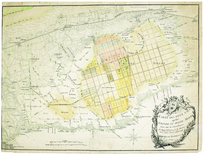
BLANMONT (Alphonse). MANUSCRIT.
Carte des deux lacs apellés Grande et Petite Moëre, situés entre les chatellenies de Berg S.t Vinox, et de Furnes avec leurs terres adjacentes.
1759. 480 x 635 mm.
书商的参考编号 : LBW-4098
|
|
|
BLASI Alfredo
Roma (Veduta dal Gianicolo)
Veduta panoramica della città dal Gianicolo. Pubblicazione fatta a cura del Consiglio Centrale per l'Italia dalla Pontificia Opera della Propagazione della Fede.In basso una legenda di 46 richiami sui luoghi notabili della città.Xilografia a colori, di Alfredo Blasi, la cui firma è in basso a destra.Rara. Veduta panoramica della città dal Gianicolo. Pubblicazione fatta a cura del Consiglio Centrale per l'Italia dalla Pontificia Opera della Propagazione della Fede.In basso una legenda di 46 richiami sui luoghi notabili della città.Xilografia a colori, di Alfredo Blasi, la cui firma è in basso a destra.Rara.

|
|
|
BLASSELLE Ren? - BONNET Marc - SERRYN Pierre
Les atlas.Tome second : -1 Atlas g?ographique -2 Atlas historique.
Reli?. 168 + 79 pages. 21 x 30 cm.
|
|
|
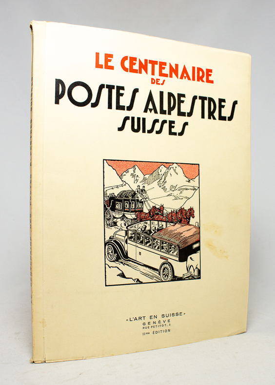
BLOESCH H.; BUDRY Paul; CHAPONNIERE Paul; GRELLET Pierre; HENRIOUD Marc:
Le centenaire des postes alpestres suisses.
Genève, L'Art en Suisse, 1932. In-4 broché de 80 pages, couverture à rabats illustrée en deux tons.
书商的参考编号 : 17496
|
|
|
BLOND, Georges - CARMIGNIANI, Juan Carlos - Préfacé par le Général Beaufre - Aquarelles du Baron Louis de Beaufort - Cartes de Jean-Claude Quennevat
1914, la Marne
1974 Editions Stock, Presses de la Cité - Collection "Les Grandes Batailles" - 1974 - In-4, cartonnage toilé rouge sous jaquette illustrée en couleurs de l'éditeur - 232 p. - Très riche iconographie in, hors-texte et pleine page en couleurs et en N&B
书商的参考编号 : 108220
|
|
|
BLONDEAU.
Etats Unis de l'Amérique.
[circa 1795]. 180 x 203 mm.
书商的参考编号 : LBW024c8

|
|
|
BLONDEL LA ROUGERY
CARTE DE LA LOIRE-INFERIEURE
1950 carte dépliante in-octavo dans une chemise illustrée en bleu et rouge, format déplié : 72,5 centimètres de large par 54,5 centimètres de haut, sans date (1930 environ) Paris Blondel La Rougery Editeur,
书商的参考编号 : 8336
|
|
|
BLONDEL LA ROUGERY (Max).
Carte des lignes. Compagnie Générale Transatlantique. French line.
Paris, Blondel La Rougery, 1959. 750 x 980 mm.
书商的参考编号 : LBW-6644

|
|
|
BLONDEL LA ROUGERY (Édouard).
Cie Gle Transatlantique - Afrique du Nord routière.
Paris, Éditions Blondel La Rougery, 1950. 610 x 960 mm.
书商的参考编号 : LBW-8593

|
|
|
Blondel-La Rougery.
Cartes de La Rochelle-La Pallice. Plan en 4 couleurs avec liste des rues.
Une grande carte dépliante de 60x76cm environ, sous couverture cartonnée. Bel état. Voir photo.

|
|
|
BLUM Odile / DROCOURT Daniel
Cartes et plans d'urbanisme à Marseille.
Edisud, Atelier du Patrimoine de la Ville de Marseille, 1990, 19 planches sous chemise (complet), environ 46x35cm, tirage à 800 exemplaires, chemise salie, intérieur bien propre.
书商的参考编号 : 90077

|
|
|
BLUMER, Walter:
Die topographischen Karten des Kantons Glarus. ‘Schweizerischer Kartenkatalog’ Faszikel I.
Einsiedeln in Kommission bei Benziger, 1950, in-8vo, 44 S. + 2 Bl. (1 leer) + 34 Tafeln + (Beilage:) gefaltete Karte d. Glarnerlandes v. 1682 + gef. Reliefphoto, illustrierte Original-Broschüre. O.-Schuber.
书商的参考编号 : 126605aaf
|
|
|
Boadt, Lawrence E
Jeremiah 1-25 (Old Testament Message Series, Volume 9)
217 pages including bibliography and maps. Brings into our life and religion today the ancient word of God to Israel. Light wear. Unmarked. solid attractive copy. Book
|
|
|
BOCCACCIO, Giovanni / MACROBIO, Ambrogio Teodosio Macrobius Ambrosius Aurelius Theodosius
Peri genealogias deorum, libri quindecim, cum annotationibus Iacobi Micylli. Eiusdem De montium, syluarum, fontium, lacuum, fluuiorum, stagnorum, & marium nominibus. Liber 1. Huc accessit rerum, & fabularum scitu dignarum copiosus index / In somnium Scipionis libri 2. Eiusdem Saturnaliorum libri 7. ex uetustissimis manuscriptis codicibus recogniti...
In -folio, due voll. legati assieme; pp. (68), 504, (4); (40), 334, (2). Legatura in piena pelle alle armi di Felipe Ramirez Nuñez de Guzmán de Medina, nervi e titolo al dorso. Questa di Basilea del ’32 è considerata l’ultima e migliore edizione nel Cinquecento in latino delle Genealogie [...] che si deve all’umanista strasburghese Jakob Moltzer. Notevoli le illustrazioni genealogiche a piena pagina in quest’opera che, in vita, diede fama a Boccaccio, i cui lavori in volgare erano considerati una produzione minore. Rilegato con i Saturnalia e il commentario al Somnium Scipionis, le due maggiori opere di Macrobio nell’edizione di Camerario. Numerose illustrazioni nel testo fra cui l’incisione del planisfero macrobiano, diviso in zone climatiche, che costituì per circa un millennio il modello geografico terrestre: nella prima riproduzione a stampa di questa mappa, del 1483, le linee climatiche erano dritte, qui per la prima volta sono curve e rimandano a un modello di terra sferica e non piatta. This Basilea 1532’s edition is considered the last and the best latin edition in XVI century of “Genealogie”: it’s due to austrian scholar Jakob Moltzer. The full page genealogic illustrations are remarkable; this work gave a reputation to Boccaccio while he was still alive, and whose works in volgare were then considered a less important production. Bound with the “Saturnalia” and commentary to “Somnium Scipionis”, the most important Macrobio’s works in Camerario edition. Many illustrations in text: between them the macrobian world map, divided in climatical areas, that was for about 1000 years the geografic Earth pattern: in the first printed reproduction of this map, from 1483, the climatical lines were straight, while here they are bent and they suggest a spheric Earth model.

|
|
|
Boclet, Hacq, Lecocq:
Carte de Briançon.
Paris, Librairie Plon / Plon, Nourrit et Cie. 1800 Carte au 1/80'000, entoilée, au format ouvert de 87 x 59 cm., vignette de la Librairie plon contrecollée au premier plat. Tampons de bureau technique. En belle condition.
书商的参考编号 : 18275

|
|
|
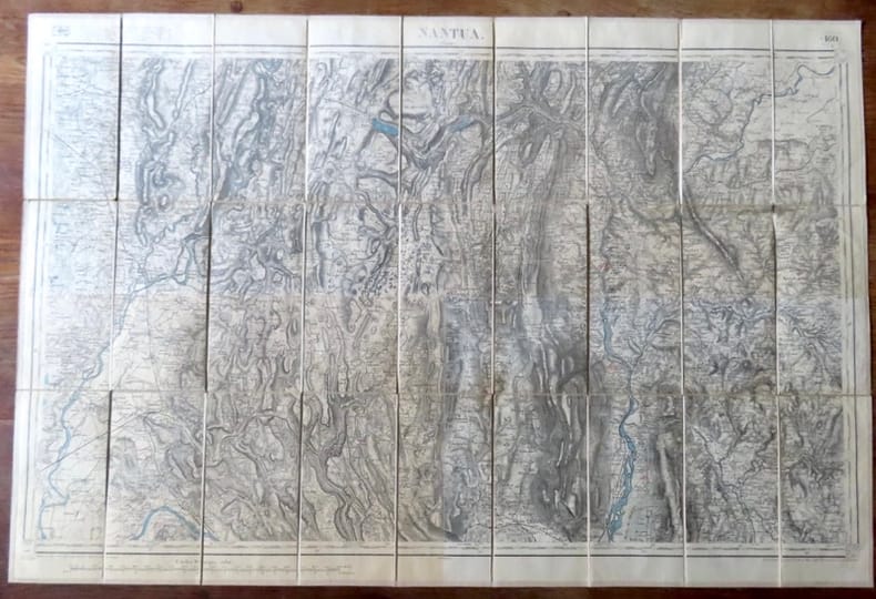
Boclet, Hacq, Leroy, Pierre, Delsol:
Carte de Nantua.
Paris, Librairie Plon / Plon, Nourrit et Cie. Carte au 1/80'000, entoilée, au format ouvert de 87 x 59 cm., vignette de la Librairie plon contrecollée au premier plat. Tampons de bureau technique. En belle condition.
书商的参考编号 : 18277
|
|
|
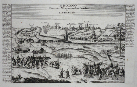
BODENEHR (Gabriel).
[BIELORUSSIE] Grodno eine der fürnehmbsten Staedte in Litthauen.
[Augsbourg, circa 1730]. 162 x 270 mm.
书商的参考编号 : LBW061fb
|
|
|
BODENEHR (Gabriel);
[BELGIQUE] Charle-Roy.
Augsbourg circa 1730 151 x 193 mm.
书商的参考编号 : LBW061ec

|
|
|
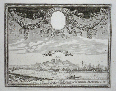
BODENEHR (Gabriel);
[BELGIQUE] Namur.
Augsbourg circa 1730 151 x 192 mm.
书商的参考编号 : LBW061f2
|
|
|
BODENEHR (Gabriel);
[GDANSK] Dantzig, die Haupstatt in dem Koniglich Polnischen Preussen.
Augsbourg circa 1730 En deux feuilles jointes de 156 x 405 mm.
书商的参考编号 : LBW061f6

|
|
|
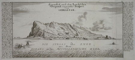
BODENEHR (Gabriel);
[GIBRALTAR] Eigendlich nach dem Londischen original vorgestelter Prospect von Gibraltar.
Augsbourg circa 1730 En deux feuilles jointes de 153 x 365 mm.
书商的参考编号 : LBW061fc
|
|
|
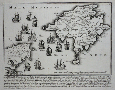
BODENEHR (Gabriel);
[MAYORQUE] Maiorca.
Augsbourg circa 1730 158 x 198 mm.
书商的参考编号 : LBW061fa
|
|
|
BODENEHR (Gabriel);
[MONTMELIAN] Das veste Schloss Montmelian.
Augsbourg circa 1730 143 x 207 mm.
书商的参考编号 : LBW061f9

|
|
|
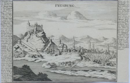
BODENEHR (Gabriel);
[SLOVAQUIE] Presburg.
Augsbourg circa 1730 163 x 256 mm.
书商的参考编号 : LBW061f7
|
|
|
BODENEHR (Gabriel);
Der Weixel Stroom von Danzig bis zum Auslauf in die Oost See.
Augsbourg 1730 circa En deux feuilles jointes de 159 x 343 mm.
书商的参考编号 : LBW-405
|
|
|
Bodenehr, Gabriel
Europens Pracht und Macht. 2 Teile in einem Band. REPRINT der Ausgabe Augsburg, Bodenehr, um 1710.
(Unterschneidheim, Walter Uhl, 1972). 200, 100 oft gefalt. s/w Taf. Quer-Folio. 27,5 x 37,5 cm. OLn.
书商的参考编号 : 93929

|
|

 ?????????
 ?????PDF???
 RSS feed
 ??
??


