|
Reynier Jean-Jacques
Les Guides Bol d'Air. FInistère Nord Bretagne, de la balade familiale à la randonnée sportive, 445 km de découvertes (29/N)
Cartothèque Edition Les guides Bol d'Air Reliure spirale 2005 In-8 (12 x 21 cm.), format oblong, guide à spirale, couverture illustrée pelliculée à large rabat, 171 pages, très nombreuses illustrations couleurs, plans, indications cartographiques, sites remarquables, données IGN ; une page non-rognée, trois minimes déchirures sans manques au niveau des spirales, un pli au 1er plat, par ailleurs bon état. Livraison a domicile (La Poste) ou en Mondial Relay sur simple demande.
Référence libraire : sb281

|
|
|
Rey, R.:
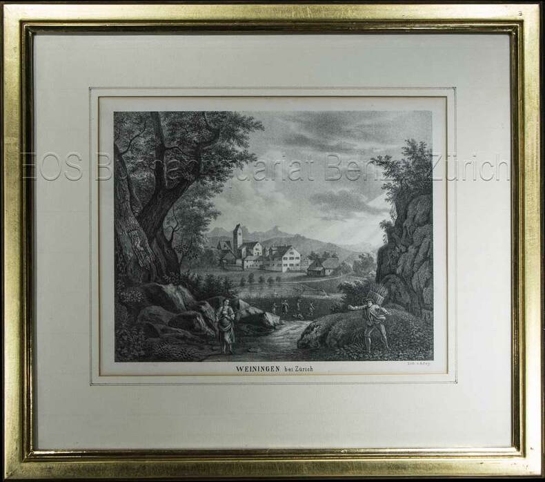
Weiningen bei Zürich.
(um 1850). Lithographie von R. Rey. Bildausschnitt: 16,3 x 21 cm. Rahmen: 31 x 35 cm.
Référence libraire : 603BG
|
|
|
Rey, R
Weiningen bei Zürich.
(um 1850). Lithographie von R. Rey. Bildausschnitt: 16,3 x 21 cm. Rahmen: 31 x 35 cm. + Wichtig: Für unsere Kunden in der EU erfolgt der Versand alle 14 Tage verzollt ab Deutschland / Postbank-Konto in Deutschland vorhanden +, Abb.
Référence libraire : 603BG

|
|
|
REYNAL DE SAINT-MICHEL, Alain de
Carte géologique à l'échelle du 1/50.000. Feuilles de Basse-Terre et des Saintes [ Guadeloupe ]
2 cartes géologiques format 72 x 90 cm sous chemise commune, Carte géologique détaillée de la France, Département de la Guadeloupe, Ministère de l'Industrie, Paris, 1966 Belle carte géologique en deux feuilles de l'île de Basse-Terre (Guadeloupe). Bon état (accrocs et manques à la chemise avec cachet d'ex-libris, les cartes sont en parfait état) Français

|
|
|
Reynolds, Alta; Wright, Lynn
Cycles: a View of Planet Earth From Four Million BC to 15,000 AD
89 pages. Selected bibliography. Illustrated in colour. "Thirty-nine Earth Change maps spanning a vast period of time, from 4 million BC to 15,000 AD, come to light in a little village in South Africa. Their architect, Hans Luhdo, produced them in only 5 months. The pivotal maps are those drawn for the year 2000. The speed with which they were created suggests that he was a man driven, racing against time. A few weeks after the last map was completed, he died." - from back cover. Clean and unmarked with light wear. Nice copy. Book

|
|
|
Rhodos.:
"Description de l`isle de Rhodes". Map from: Bertius, Tabularum Geographicarum.
10 x 13,5 cm (full page: 12 x 19 cm). *Small map of Rhodes. View of the whole island. Surrounded by the sea, a sailing boat and a monster. Good condition. Landkarten de
|
|
|
RHYHINER, (Johan Friedrich von Ryhiner 1732-1803) / KLÖTI, Thomas Hrsg.:
Sammlung Ryhiner Collection. Karten, Pläne und Ansichten aus dem 16. bis 19. Jahrhundert. In 4 Bde.
Bern, Stadt- und Universitätsbibliothek. Druck Graf-Lehmann AG. Bern, 2003, in-4to, Bd. 1, 2 u. 3 : Katalog. Bd. 4 Registerband. 1786 S., Relié / Gebunden - Kart. Verlageinbde. (Einband: Schumacher AG. Schmitten).
Référence libraire : 128004aaf
|
|
|
Ribton-Turner, C J.
Warwick Castle and Town together with Guy’s Cliffe
Very slight marking to title page and crease to front cover. A very clean very tight copy with bright lightly marked covers. 72pp.

|
|
|
Ricard Anouk, Chaize Etienne:
Boule de neige. 15 cartes postales dans l'univers du livre Boule de Feu !
2024, 2019. 15 cartes postales dans leur étui et emballage d'origine, donc à l'état de neuf.
Référence libraire : 14510

|
|
|
RICHEPIN Jean et Jacques, poète et auteur dramatique.
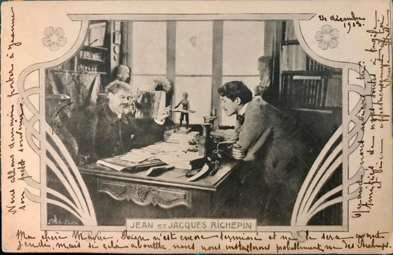
Carte postale représentant le poète Jean Richepin et son fils Jacques, poète et auteur dramatique, dans leur bureau, dans un encadrement “art nouveau“.
Carte éditée par Les Annales Politiques et Littéraires, ayant voyagé, écriture au recto et au verso. Datée du 24 - 11- 1903 (cachet postal).
Référence libraire : 10898
|
|
|
RICKARDS (Maurice).
Collecting Printed Ephemera.
New York Abbeville Press 1988 1 vol. relié in-4, cartonnage sous jaquette illustrée, 224 pp., nombreuses reproductions en noir et en couleurs. Texte en anglais. Très bon état.
Référence libraire : 95317
|
|
|
RICKARDS (Maurice).
Collecting Printed Ephemera.
New York Abbeville Press 1988 1 vol. relié in-4, cartonnage sous jaquette illustrée, 224 pp., nombreuses reproductions en noir et en couleurs. Texte en anglais. Très bon état.
Référence libraire : 95317
|
|
|
Rice, H.M.A.
Nelson Map-Area, East Half, British Columbia - Geological Survey Memoir 228
86 pages. Two black and white photographic plates. Based upon field work conducted in 1936 through 1938. Clean and unmarked. Yellowed at edges. Average wear. Unmarked. Large colour map in excellent condition stored in pocket inside back cover. Sound copy. Book

|
|
|
RICHARD KIEPERT, (1846-1915).
[KLEINASIEN MAP] [C2] [Afiun Karahisar and around].
Very Good German Original color map on cloth. Oblong atlas folio. (48 x 63 cm). In Latin, Greek and German. Toponyms are Turkish in Latin transcription script as well as their ancient names in Roman and Greek. Including Afiun Karahisar [Afyonkarahisar] and its south and southwest area. Ascanius Lavus, Djemal Bey Tschiftligi, Macropedium, Asi Karaaghatsch, Denizli, Cretopolis, Sozopolis, Isparta, Tabenerum Campus, Hynera (Cydrara), Anaua Lacus (Adji Tuz Gölü), Ishikli Eumenia, Panasium (Banas Ovasi i.e. Plain), etc. It's one of the 24 sheets of 'Karte von Kleinasien'. Rihard Kiepert was a German cartographer born in Weimar. He was the son of famed geographer Heinrich Kiepert. Richard Kiepert studied geography and history in Berlin and Heidelberg. In 1870, he traveled in Palestine and Asia Minor, returning to take part in the Franco-Prussian War. In 1874, he received his doctorate of philosophy at the University of Jena. From 1874 until 1878 he worked on the compilation of Ferdinand von Richthofen's atlas of China, and from 1875 to 1887, he was editor of the geographical periodical Globus. From 1902 until 1908 he worked on the Spezialkarte von Kleinasien, a map of Asia Minor that was created on a 1:400,000 scale. After his father's death in 1899, he continued the work on the elder Kiepert's classic Formae Orbis Antiqui.
|
|
|
Richards, T Addison; Fold Out Maps One with Short Tear But Complete [Illustrator]
Appleton's Companion Hand Book of Travel Containing a full description of the principal cities towns and places of interest together with hotels and routes of travel through the United States and the Canadas. With Colored Maps
D Appleton and Company 1862. Hardcover. Good. 1962 printing. Bound in publisher's cloth. Hardcover. Shelf wear. Spine ends chipped with loss. Some folded maps torn. D Appleton and Company hardcover
Référence libraire : 2109160014
|
|
|
Richardson, Olive
Canterbury
No marks or inscriptions. No creasing to covers or to spine. A very clean very tight booklet with bright unmarked boards and no bumping to corners. 20pp. Attractive little booklet with colour and black & white ptotographs of Canterbury with history and description. Undated ca 1975.

|
|
|
Richter, Klaus
Hamburg und der Süderelberaum 1577. REPRINTnach einer kolorierten Handzeichnung von Daniel Frese.
Braunschweig, Archiv-Verlag, [ca. 1985]. Mehrf. gefalt. farb. Karte über einem Panorama der Stadt, von der Elbseite gesehen (Blattgröße ca. 53 x 82 cm; Bildgröße ca. 45 x 81.
Référence libraire : 99383
|
|
|
Rickenbacker, Capt Edward V; Laurence la Tourette Driggs (fwd, maps)
Fighting the Flying Circus in scarce DJ
New York: Frederick A. Stokes Co. 1919. Book. Near Fine. Hardcover. 1st Edition. 12mo - over 6¾" - 7¾" tall. Blue cloth spine panel lettered in orange color front and back cover pastedown illus. Text block edges typically somewhat tanned with minor loss along top edge/corner of cover pastedown otherwise only slight wear. Color illus. dust jacket shows area of loss along top front edge minor loss to corners several closed tears and rubbed joints/folds now in mylar. xii371 pp. illus. Frederick A. Stokes Co. Hardcover
Référence libraire : 061262
|
|
|
RIETER & SENN.
Søndags=Dragt af en Siællandsk Bonde= Pige" tienende i Hovedstaden.
(København, 1805). Originalt håndkoloreret kobberstik. (21 x 14,5 cm.). Indrammet i ""sølvramme"" (29 x 21 cm.). Frisk eksemplar.
Référence libraire : 52216
|
|
|
RIETER & SENN.
Søndags=Dragt af en Siællandsk Bonde= Pige " tienende i Hovedstaden.
(København, 1805). Originalt håndkoloreret kobberstik. (21 x 14,5 cm.). Indrammet i ""sølvramme"" (29 x 21 cm.). Frisk eksemplar.
|
|
|
RIFF, Adolphe (sous la direction de).
L'Art Populaire en France. Recueil d'Etudes publié sous la direction de M. Adolphe Riff. Sommaire abrégé : Introduction à l'étude de la décoration basque (suite) / Les maisonnettes des champs dans le Massif Central / Les clefs de cintre et linteaux avec marques de propriété du Mâconnais / Loquets anciens du Puy-de-Dôme / Deux motifs caractéristiques de l'art du bois en Bresse : la feuille et la tête de chouette / Les plus anciennes cartes à jouer fabriquées à Epinal / Un gentilhomme dominotier à Besançon au XVIIIe siècle / Quelques travaux des dominotiers orléanais de la fin du XVIIIe siècle / Châtelaines paysannes des environs de Hochfelden (Bas-Rhin) / Les plaques muletières au Puy-en-Velay / Faïences et porcelaines populaires de la manufacture de Strasbourg / Quelques bénitiers populaires lorrains / Poteries de Touraine / Une famille de potiers bressans pendant plus d'un siècle / L'industrie de la poterie à Jandun et à Barbencroc / Les petits métiers de Nice / Les oratoires en Provence / Un cadran solaire poitevin de 1708 / Voyages d'ouvriers potiers / Sabots de la vallée de Bethmale (Ariège) / Notes sur la serpe à hachette des vignerons.
Strasbourg, Paris, Librairie Istra, Maison d'Edition de l'Imprimerie Strasbourgeoise, 1929-1933, 5 années reliées en 1 volume de 200x250 mm environ, 235-197-195-196-188 pages, demi basane brune, titres et fleurons dorés sur le dos, gardes marbrées avec un ex-libris de G. Jeanton sur la première. Nombreuses illustrations et figures. Des rousseurs, frottements sur la couverture, bon état pour le reste.
Référence libraire : 83812

|
|
|
RIGAL (J.J.J.).
Carte de voeux illustrée d'une gravure originale signée.
Paris Société des peintres-graveurs français 1981 1 vol. Broché Carte de voeux dépliante sur Arches illustrée d'une eau-forte en couleurs (14 x 14 cm) justifiée 40/250 signée par J.J.J. Rigal.
Référence libraire : 109090
|
|
|
RIGAL (J.J.J.).
Carte de voeux illustrée d'une gravure originale signée.
Paris Société des peintres-graveurs français 1981 1 vol. Broché Carte de voeux dépliante sur Arches illustrée d'une eau-forte en couleurs (14 x 14 cm) justifiée 40/250 signée par J.J.J. Rigal.
Référence libraire : 109090
|
|
|
RIGAL (J.J.J.).
Carte de voeux illustrée d'une gravure originale signée.
Paris Société des peintres-graveurs français 1993 1 vol. Broché Carte de voeux dépliante sur Arches illustrée d'une eau-forte en couleurs (diamètre 10 cm) signée par J.J.J. Rigal.
Référence libraire : 109095
|
|
|
RIGAL (J.J.J.).
Carte de voeux illustrée d'une gravure originale signée.
Paris Société des peintres-graveurs français 1993 1 vol. Broché Carte de voeux dépliante sur Arches illustrée d'une eau-forte en couleurs (diamètre 10 cm) signée par J.J.J. Rigal.
Référence libraire : 109095
|
|
|
RINGGOLD, CADWALADER.
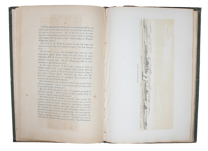
A Series of Charts with Sailing Directions, Embracing Surveys of the Farallones, entrance to the bay of San Francisco, bays of San Francisco and San Pablo, straits of Carquines and Suisun Bay, confluence and deltic branches of the Sacramento and San J... - [THE MOST ACCURATE CHARTS UP UNTIL THAT TIME OF THE SAN FRANCISCO BAY AREA]
Washington, Jno. T. Towers, 1851. 4to. In publishers original full pictoral green cloth. Front and back board with embossed title and ornamentation, showing an eagle holding a banner and anchor beneath whom Columbia sits holding the shield of California with a bear asleep at her feet. Front board in gold. Lower front board with gilt stamp. Stamp to front free end-paper and title-page. Light wear to extremities and internally with light occassional miscolouring. 44. pp. + 11 lithographic plates including frontispiece and 6 folding maps.
Référence libraire : 53713
|
|
|
Ringger, Rudolf:
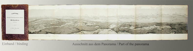
Panorama vom Fürstlich Fürstenbergischen Schlosse Heiligenberg in Schwaben.
Zürich, H. Füessly & Comp. zur Meise, 1865. Stahlstich. Nach der Natur gezeichnet und gestochen von Rud. Ringger in Küsnach b/Zürich. Druck von D. Herter in Zürich. Bildgrösse: 10,2 cm x 302 cm. Orig.-Pappdeckel (Gelenke u. Kanten leicht berieben, Ecken minim bestossen) in Orig.-Papp-Schuber (berieben, Gelenke angeplatzt, etwas verblasst).
Référence libraire : 37BG
|
|
|
Ringger, Rudolf
Panorama vom Fürstlich Fürstenbergischen Schlosse Heiligenberg in Schwaben.
Zürich, H. Füessly & Comp. zur Meise, 1865. Stahlstich. Nach der Natur gezeichnet und gestochen von Rud. Ringger in Küsnach b/Zürich. Druck von D. Herter in Zürich. Bildgrösse: 10,2 cm x 302 cm. + Wichtig: Für unsere Kunden in der EU erfolgt der Versand alle 14 Tage verzollt ab Deutschland / Postbank-Konto in Deutschland vorhanden +, 37BG Orig.-Pappdeckel (Gelenke u. Kanten leicht berieben, Ecken minim bestossen) in Orig.-Papp-Schuber (berieben, Gelenke angeplatzt, etwas verblasst).
Référence libraire : 37BG

|
|
|
RINGGOLD, CADWALADER.
A Series of Charts with Sailing Directions, Embracing Surveys of the Farallones, entrance to the bay of San Francisco, bays of San Francisco and San Pablo, straits of Carquines and Suisun Bay, confluence and deltic branches of the Sacramento and San J... - [THE MOST ACCURATE CHARTS UP UNTIL THAT TIME OF THE SAN FRANCISCO BAY AREA]
Washington, Jno. T. Towers, 1851. 4to. In publishers original full pictoral green cloth. Front and back board with embossed title and ornamentation, showing an eagle holding a banner and anchor beneath whom Columbia sits holding the shield of California with a bear asleep at her feet. Front board in gold. Lower front board with gilt stamp. Stamp to front free end-paper and title-page. Light wear to extremities and internally with light occassional miscolouring. 44. pp. + 11 lithographic plates including frontispiece and 6 folding maps.
|
|
|
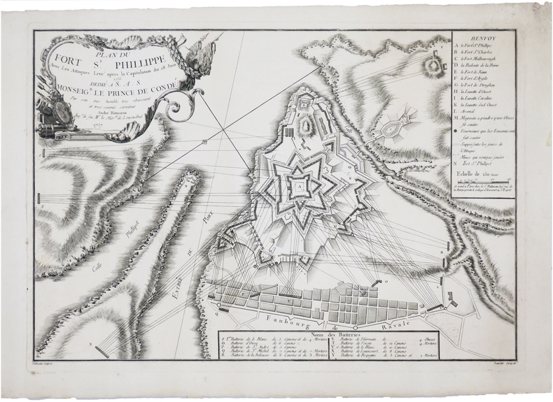
RITTMANN (André).
[MINORQUE] Plan du fort St. Phillippe avec les attaques. Levé après la capitulation du 28 juin 1756.
Paris, Sr. Rittmann, 1757. 300 x 436 mm.
Référence libraire : LBW-691
|
|
|
RIVIERE Général de; LE FAURE Amédée:
Procès du Maréchal Bazaine. Rapport complet du Général de Rivière [suivi de] Procès du Maréchal Bazaine. Rapport. Audiences du premier conseil de guerre. Compte rendu rédigé avec l'adjonction de notes explicatives [suivi de] Procès du Maréchal Bazaine. Audiences du premier conseil de guerre. Réquisitoire, plaidoirie, répliques, jugement. Compte rendu rédigé avec l'adjonction de notes explicatives. Seconde partie.
Paris, Garnier Frères, 1874. 3 tomes en un volume in-4 de[4]-259-[4]-356-[4]-380 pages, demi-basane verte, dos lisse orné de filets, roulettes et titre dorés. Dos passé, reliure un peu frottée, épidermure au second plat, quelques rares rousseurs.
Référence libraire : 8818
|
|
|
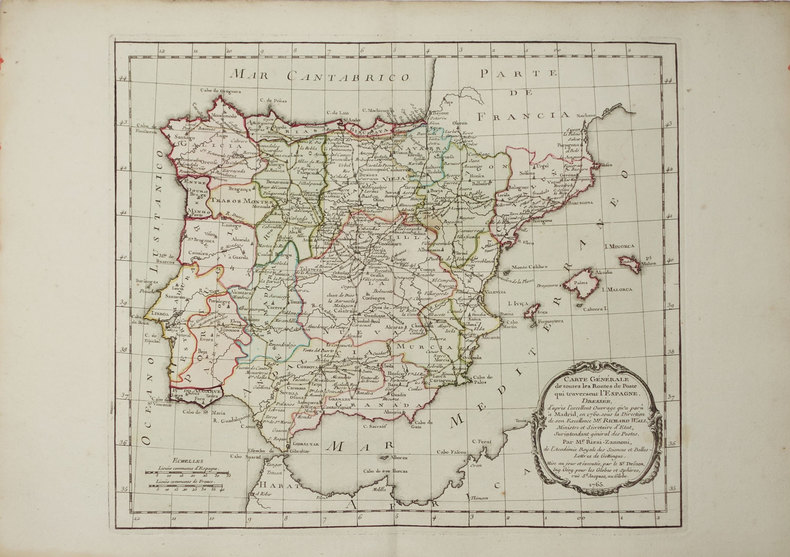
RIZZI-ZANNONI (Giovanni Antonio).
[POSTES] Carte générale de toutes les routes de postes qui traversent l'Espagne.
Paris, Sr. Desnos, 1765. 233 x 267 mm.
Référence libraire : LBW-3333
|
|
|
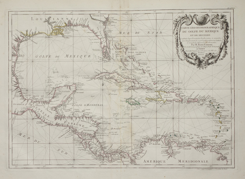
RIZZI-ZANNONI (Giovanni Antonio).
Carte géo-hydrographique du golfe du Mexique et de ses isles.
Paris, Lattré, 1783. 312 x 448 mm.
Référence libraire : LBW-2653
|
|
|
Rizzi Zannoni de la Société Royale de Gottingue
CARTE DE L'ITALIE (EN 2 FEUILLES) DIVISÉE EN SES DIFFÉRENS ÉTATS. DRESSÉE D'APRÉS LES MEILLEURES CARTES APPUYÉE SUR LES OBSERVATIONS ASTRONOMIQUES, Par M. Rizzi Zannoni de la Société Royale de Gottingue.
Paris Lattré 1780 en 2 feuilles : carte ancienne colorée d'époque en vert , rouge et jaune, cartouche non coloré, gravée par Arrivet. Format total : 50 centimètres de haut par 39 centimètres de large, 1780 Paris Lattré Editeur,
Référence libraire : 27416
|
|
|
RIZZI ZANONNI GÉOGRAPHE
CARTE : MAPA DOS REYNOS DE PORTUGAL E ALGARVE , par RIZZI ZANONNI GÉOGRAPHE - 1771
Paris Lattré 1771 1 carte ancienne colorée d'époque en vert , rouge et jaune, cartouche non coloré, gravée par Arrivet. Format total : 50 centimètres de haut par 39 centimètres de large, 1771 Paris Lattré Editeur,
Référence libraire : 27444
|
|
|
Rizzi Zannoni de la Société Royale de Gottingue
CARTE DE L'ALLEMAGNE DIVISÉE PAR CERCLES, Par M. Rizzi Zannoni de la Société Royale de Gottingue.
Paris Lattré 1780 une carte ancienne colorée d'époque en vert , rouge et jaune, cartouche non coloré, gravée par Arrivet. Format total : 50 centimètres de haut par 39 centimètres de large, 1780 Paris Lattré Editeur,
Référence libraire : 27625
|
|
|
Rizzi Zannoni de la Société Royale de Gottingue
CARTE DES ROYAUMES DU PORTUGAL ET D'ALGARVE, Dressé sur les Mémoires Topographiques de D. Vasquez de Cozuela, sur celles du P. Lacerdaet plusieurs autyes par M. Rizzi Zannoni de la Société Royale de Gottingue.
Bordeaux Lattré 1780 une carte ancienne colorée d'époque en vert , rouge et jaune, cartouche non coloré, gravée par Arrivet. Format total : 50 centimètres de haut par 39 centimètres de large, 1780 Bordeaux Lattré Editeur,
Référence libraire : 27626
|
|
|
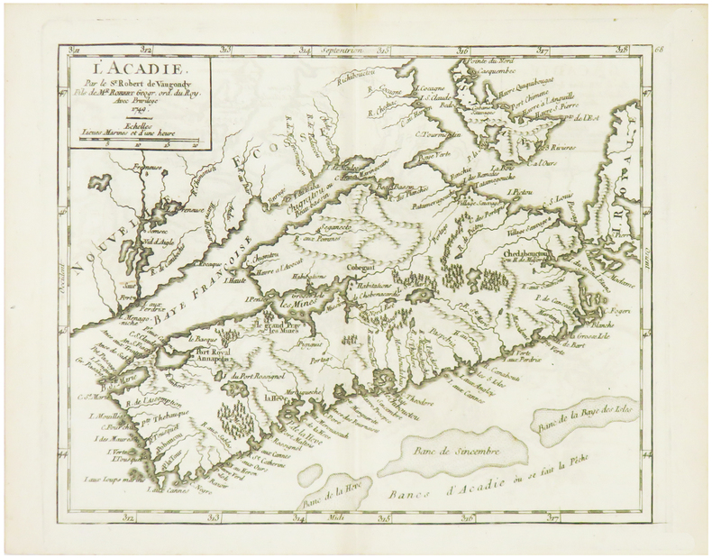
ROBERT de VAUGONDY (Didier).
[ACADIE] L'Acadie.
1749. 162 x 202 mm.
Référence libraire : LBW024d5
|
|
|
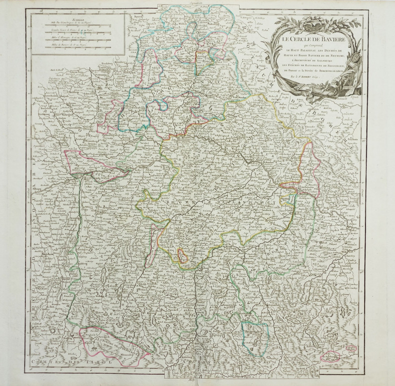
ROBERT de VAUGONDY (Didier).
[BAVIERE] Le Cercle de Bavière qui comprend le Haut Palatinat, Les duchés de Haute et Basse Bavière et de Neuburg, l'archevêché de Salzburg, les évêchés de Ratisbonne, de Freisingen, de Passaui et la prévôté de Berchtolsgaden.
vers 1768. 500 x 448 mm.
Référence libraire : LBW-1957
|
|
|
ROBERT de VAUGONDY (Didier);
[BELGIQUE] La principauté de Liège et le duché de Limbourg.
1754 486 x 454 mm.
Référence libraire : LBW03937
|
|
|
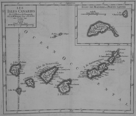
ROBERT de VAUGONDY (Didier).
[CANARIES] Les Isles Canaries.
1749. 163 x 191 mm.
Référence libraire : LBW024fd
|
|
|
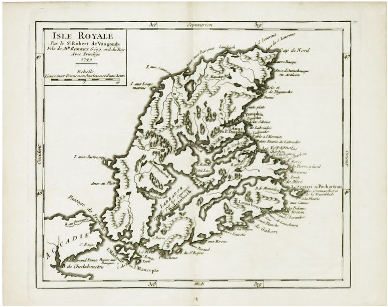
ROBERT de VAUGONDY (Didier).
[CAP-BRETON] Isle Royale.
1749. 163 x 192 mm.
Référence libraire : LBW024d6
|
|
|
ROBERT de VAUGONDY (Didier).
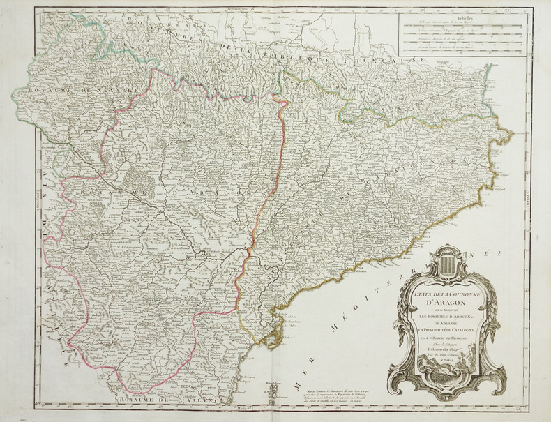
[CATALOGNE] Etats de la couronne d'Aragon, où se trouvent les royaumes d'Aragon et de Navarre, la principauté de Catalogne.
vers 1780. 480 x 620 mm.
Référence libraire : LBW-1951
|
|
|
ROBERT de VAUGONDY (Didier).
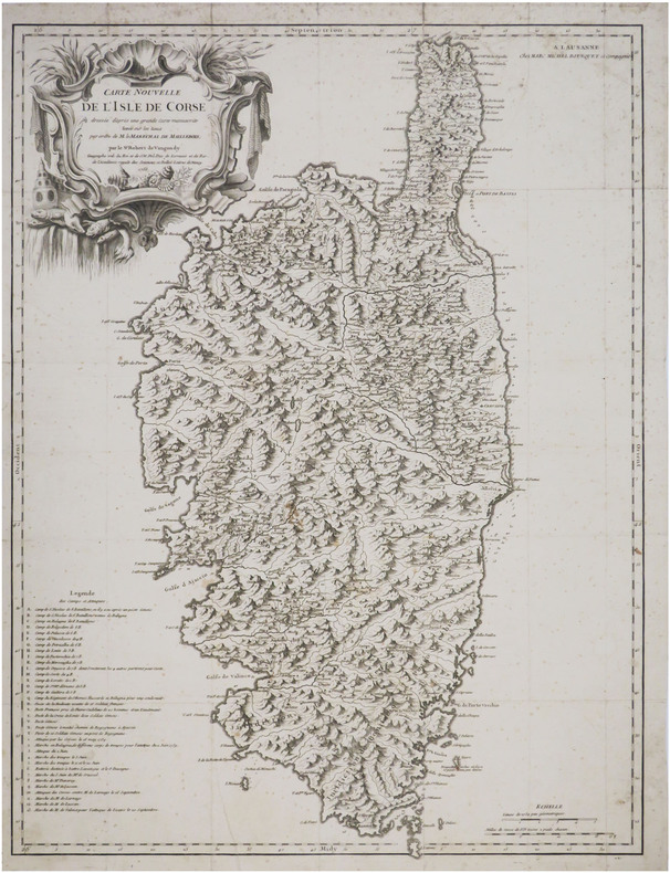
[CORSE] Carte nouvelle de l'isle de Corse dressée d'après une grande carte manuscrite levée sur les lieux par ordre de M. le Maréchal de Maillebois.
Lausanne, Marc Michel Bousquet et Compagnie, 1756. 600 x 453 mm.
Référence libraire : LBW-8778
|
|
|
ROBERT de VAUGONDY (Didier);
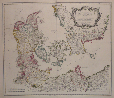
[DANEMARK] Royaume de Danemarck, qui comprend le Nort-Jutland divisé en ses quatre diocèses, le Sud-Jutland divisé en ses deux duchés de Sleswick et de Holstein, et les isles de Fionie, Selande, Laland, &c.
1750 485 x 565 mm.
Référence libraire : LBW03943
|
|
|
ROBERT de VAUGONDY (Didier).
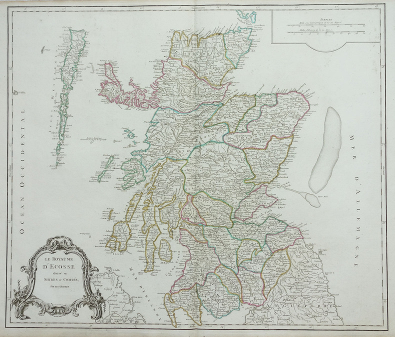
[ECOSSE] Le Royaume d'Ecosse divisé en shires ou comtés.
1768. 485 x 570 mm.
Référence libraire : LBW-1892
|
|
|
ROBERT de VAUGONDY (Didier).
[ESTONIE/LETTONIE/LITUANIE] Curlande, Livonie, Ingrie et partie méridionale de Finlande.
1748. 163 x 184 mm.
Référence libraire : LBW027c3

|
|
|
ROBERT de VAUGONDY (Didier).
[GALICE] Partie septentrionale des états de Castille où se trouve le royaume de Gallice.
1749. 165 x 193 mm.
Référence libraire : LBW024f5

|
|
|
ROBERT de VAUGONDY (Didier).
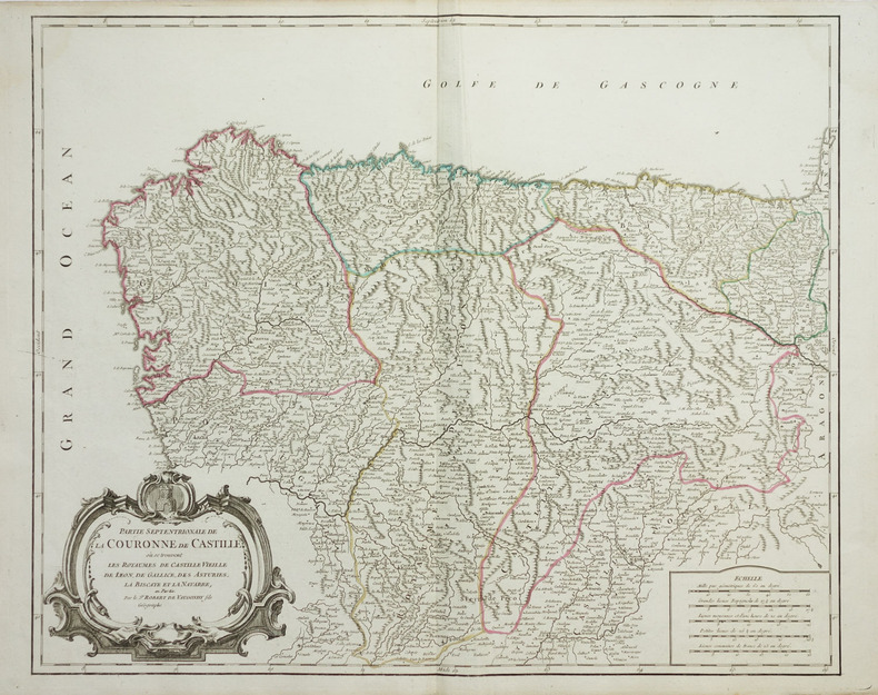
[GALICE/PAYS BASQUE] Partie septentrionale de la couronne de Castille où se trouvent les royaumes de Castille Vieille, de Léon, de Gallice, des Asturies, la Biscaye et la Navarre, en partie.
vers 1768. 480 x 590 mm.
Référence libraire : LBW-1919
|
|
|
ROBIQUET (Aimé).
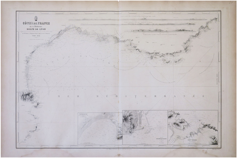
[GOLFE du LION] Côtes de France sur la Méditerranée. Golfe de Lyon d'après les travaux exécutés dans les années 1839 à 1846.
Paris, Robiquet, 1856. 610 x 894 mm.
Référence libraire : LBW-8305
|
|

 Recevoir par e-mail
 Télécharger en PDF
 Flux RSS
 Lien permanent


