|
|
|
Mittelbach
Mittelbachs Karten: Paris - Compiegne Soissons - Chateau - Thiery, Blatt 4
Approximately 23" x 19". Undated but probably from the early 20th century. Unmarked with moderate wear. Some age-toning. A sound copy. Map

|
|
|
Mizuno Koshi / Meiji Maps, Meiji Maps
Japanese Language Education Analysis Theory and Practice Out of Stock
Not Available 1986. Soft Cover. Fine. The book is in fine condition. Not Available paperback
Riferimento per il libraio : 2091202132900086
|
|
|
Mlle LENORMAND
L'ART de TIRER les CARTES
Un ouvrage de 153 pages, format 135 x 180 mm, illustré, relié cartonnage couleurs, publié en 2011, Editions ESI, bon état
Riferimento per il libraio : LFA-126750118
|
|
|
Mme de B.
Les patiences. Passe-temps récréatifs. Nouveau recueil complet.
Genève et Paris, éditions Cherbuliez 1867. Exemplaire broché (18x12), couverture usagée (manque 1 plat), 146 pages avec table.
Riferimento per il libraio : AUB-1555
|
|
|
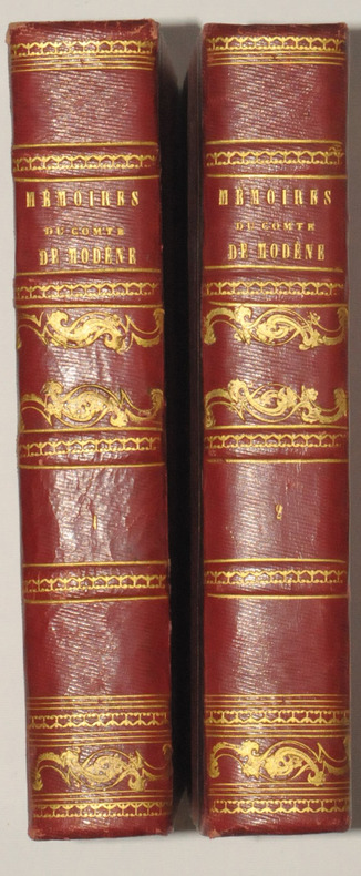
MODENE (Comte de).
Mémoires du Comte de MODENE, sur la Révolution de Naples de 1647. Troisième édition, publiée par J. - B. MIELLE.
Paris, Chez Félicien et Chatel, 1827. 2 volumes in-8, demi-chagrin rouge, dos ornés de filets dorés, 270 et 514 pages.
Riferimento per il libraio : 7488
|
|
|
MODENE (Comte de).
Mémoires du Comte de MODENE, sur la Révolution de Naples de 1647. Troisième édition, publiée par J. - B. MIELLE.
Paris, Chez Félicien et Chatel, 1827. 2 volumes in-8, demi-chagrin rouge, dos ornés de filets dorés, 270 et 514 pages. Belle édition malgré une légère insolation sur les plats.
|
|
|
Modern Maps Hironobu Matsuda and others
Designing and manufacturing automation that can be done in any factory
Modern Maps Hironobu Matsuda and others 1973. Soft Cover. Fine. The book is in fine condition. Modern Maps Hironobu Matsuda and others paperback
Riferimento per il libraio : 2083002116204312
|
|
|
Modern Maps Masami Fukuoka
Earth Pressure Retaining Calculation Method and Examples for Field Engineers
Modern Maps Masami Fukuoka 1980. Soft Cover. Fine. The book is in fine condition. Modern Maps Masami Fukuoka paperback
Riferimento per il libraio : 2083002116202287
|
|
|
Moebius, Jodorowsky
Tarot : L'Incal (jeu de cartes en édition limitée)
Editions Le Diouris Jeu de cartes "Jeu de tarot ""L'Incal"", édition limitée à 2500 exemplaires numérotés (ici le n°2004), bien complet ; quelques frottements sur l'étui, par ailleurs bel état. Livraison a domicile (La Poste) ou en Mondial Relay sur simple demande."
Riferimento per il libraio : vh4164

|
|
|
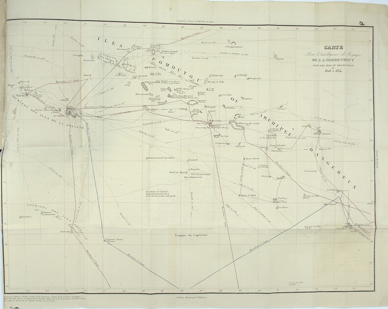
MOERENHOUT, J. A.
Voyages aux îles du Grand Océan, contenant des documents nouveaux sur la géographie physique et politique, la langue, la littérature, la religion, les moeurs, les usages et les coutumes de leurs habitants et considérations générales sur leur commerce, leur histoire et leur gouvernement depuis les temps les plus reculés jusqu'à nos jours.
Paris, A. Bertrand, 1837. 2 volumes in-8 (21,5x13,5 cm), xv, [1], 574 ; [4], 520, vii pp., illustré de 4 gravures et une carte dépliante, relié demi chagrin époque, traces de réparations à la reliure, cachets répétés, rousseurs et brunissures.
Riferimento per il libraio : PHO-2283
|
|
|
Moffat, Alistair
Edinburgh
No marks or inscriptions. No creasing to covers or to spine. A very clean very tight copy with bright unmarked boards and bumping to lower rear corner. 176pp. Essentially a book of lovely photographs presenting an up-to-date picture of the Scottish capital accompanied by a short history.

|
|
|
Moffat, Alistair
Fife
No marks or inscriptions. No creasing to covers or to spine. A very clean very tight copy with bright unmarked boards and extremely minor bumping to spine top and lower rear corner. 176pp. Essentially a book of lovely photographs presenting an up-to-date picture of the Scottish region of Fife between the Forth and the Tay accompanied by a short history.

|
|
|
MOGALLI Niccolò- PETROSCHI Giovanni
Carta topografica delle Antichità di Roma…secondo il Giro metodico usato già dall'AB. Ridolfino Venuti…
Pianta topografica delle vestigia dell'antica Roma, a proiezione e figurazione verticale, pubblicata nel 1763 nell'opera di Ridolfino Venuti "Accurata, e succinta descrizione topografica delle antichità di Roma".Incisa da Niccolò Mogalli e Giovanni Petroschi, su disegno di R. Venuti.Le indicazioni toponomastiche in parte sono riportate nella pianta, in parte in una rubrica di 77 numeri posta ai lati. In basso, a destra, la firma degli incisori. La seconda edizione della lastra, reca la data 1823.Incisione su rame, in ottimo stato di conservazione. Pianta topografica delle vestigia dell'antica Roma, a proiezione e figurazione verticale, pubblicata nel 1763 nell'opera di Ridolfino Venuti "Accurata, e succinta descrizione topografica delle antichità di Roma".Incisa da Niccolò Mogalli e Giovanni Petroschi, su disegno di R. Venuti.Le indicazioni toponomastiche in parte sono riportate nella pianta, in parte in una rubrica di 77 numeri posta ai lati. In basso, a destra, la firma degli incisori. La seconda edizione della lastra, reca la data 1823.Incisione su rame, in ottimo stato di conservazione. Frutaz, Le piante di Roma, XXXVIII; L. Schudt, Le guide di Roma, p. 405, n. 769; Caldana (2013): p. 107, n. I.64.

|
|
|
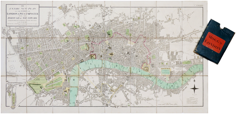
MOGG (Edward).
[LONDRES] An entire new plan of the cities of London & Westminster; with the borough of Southwark: comprehending the new buildings and other alterations, to the year 1807.
London, Edw.d Mogg, 1807. En deux feuilles coupées en 24 sections montées sur toile et pliées, formant une carte de 482 x 906 mm ; étui de papier bleu de l'époque avec pièce de titre de papier rouge.
Riferimento per il libraio : LBW-7019
|
|
|
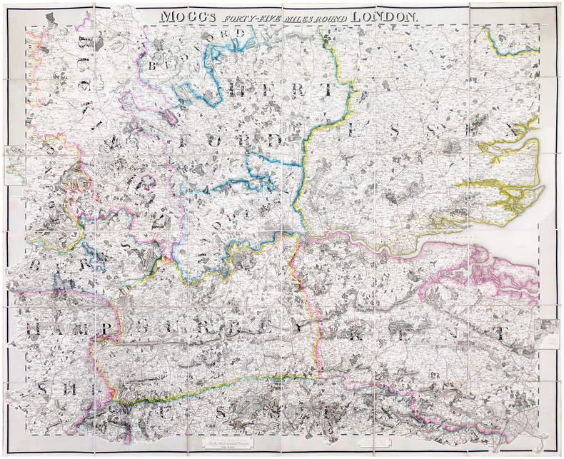
MOGG (Edward).
Mogg's forty-five miles round London.
London, Edward Mogg, June 1st 1821. En 36 sections montées sur toile et pliées, formant une carte de 0,96 x 1,16 m ; étiquette au dos de l'éditeur et marchand de cartes Charles Smith, actif entre 1800 et 1822.
Riferimento per il libraio : LBW-6491
|
|
|
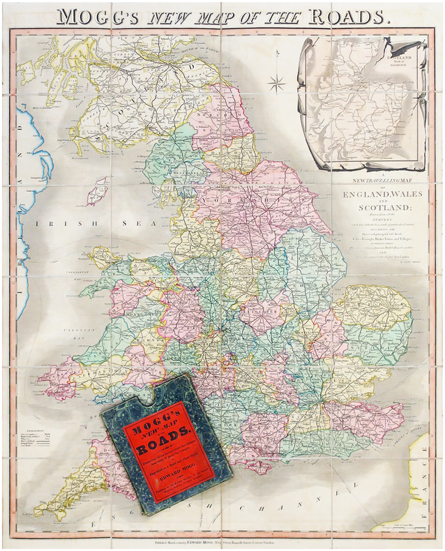
MOGG (Edward).
Mogg's new map of the roads - A new travelling map of England, Wales and Scotland.
Londres, Edward Mogg, 1830. En 24 sections montées sur toile et pliées, formant une carte de 770 x 630 mm ; sous étui de papier marbré vert de l'éditeur.
Riferimento per il libraio : LBW-6506
|
|
|
MOISEL, Max
Karte von Kamerun, bearbeitet von M. Moisel H 1 , 2 : Kribi [ Echelle 1 / 300.000 ] [ Carte du Cameroun, sous la colonisation allemande ]
1 carte dépliante format 64 x 99,5 cm, Konstruiert u. gezeichnet v. W. Bobzin u. C. Jurisch. Abgeschlossen 15 August 1911
Riferimento per il libraio : 47969

|
|
|
MOISEL, Max
Karte von Kamerun, bearbeitet von M. Moisel H 1 , 2 : Kribi [ Echelle 1 / 300.000 ]
1 carte dépliante format 64 x 99,5 cm, Konstruiert u. gezeichnet v. W. Bobzin u. C. Jurisch. Abgeschlossen 15 August 1911 Carte allemande de 1911, couvrant le territoire allant de Kribi à Sangmélima. Etat très satisfaisant (petits accrocs en marge). Français

|
|
|
MOITESSIER Bernard 30 photos hors texte, 8 cartes, 51 dessins et croquis.
La longue route.
Couverture souple. Broché. 318 pages.
Riferimento per il libraio : 147063
|
|
|
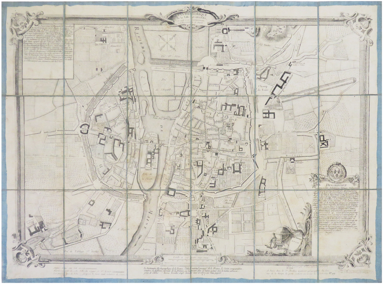
MOITHEY (Maurille-Antoine).
[ANGERS] Plan historique de la ville d'Angers, assujetti à ses accroissements, embellissements et projets.
Paris, S.r Moithey, 1792. En 18 sections montées sur toile bleue et repliées, formant un plan de 428 x 572 mm.
Riferimento per il libraio : LBW-7835
|
|
|
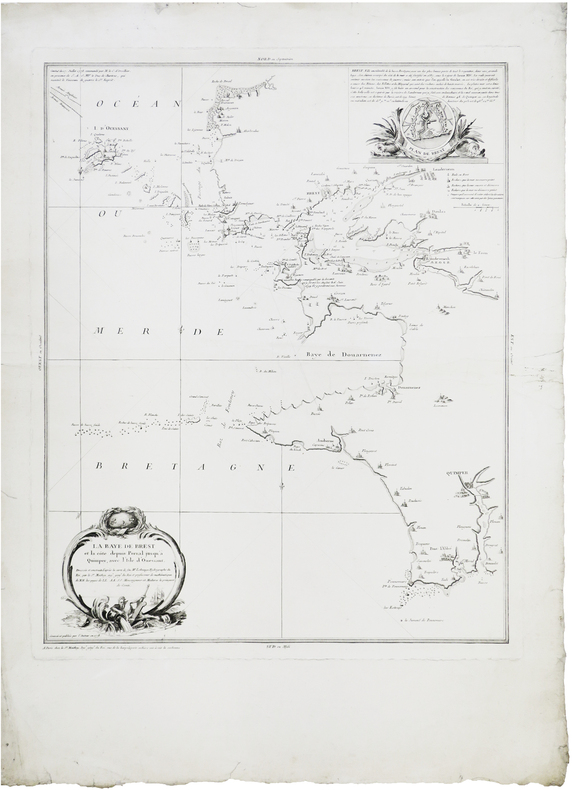
MOITHEY (Maurille-Antoine).
[BREST] La baye de Brest et la côte depuis Porsal jusqu'à Quimper, avec l'isle d'Ouessant.
Paris, S.r Moithey, 1778. 585 x 475 mm.
Riferimento per il libraio : LBW-8802
|
|
|
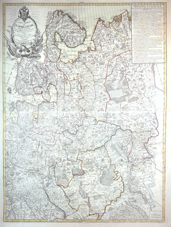
MOITHEY (Maurille-Antoine).
Carte générale de l'empire de Russie comprise en Europe.
Paris, Crépy, 1788. En 2 feuilles jointes de 870 x 647 mm.
Riferimento per il libraio : LBW-3426
|
|
|
MOITHEY, M. ; [ MOITHEY, Maurille-Anthoine ]
Dictionnaire hydrographique de la France [ Edition originale ] Ou nomenclature des Fleuves, Rivières, Ruisseaux et Canaux ; le lieu où ils prennent leurs sources, leurs embouchures et confluents, leur étendue eû égard à leurs sinuosités, leur commerce flottable ou navigable avec les villes qu'ils arrosent, suivie d'une division hydrographique de ce royaume et d'une description de ses ports &c. enrichie d'une carte de la France relative à l'objet
1 vol. in-8 reliure de l'époque demi-basane marron, Chez L'auteur et Chez Prevost, Le Roi, Paris, 1787, 2 ff., VIII-221 pp. 1 f., 4 pp. avec une grande carte dépliante en couleurs (format 58 x 510 cm) Titre complet : Dictionnaire hydrographique de la France [ Edition originale ] Ou nomneclature des Fleuves, Rivières, Ruisseaux et Canaux ; le lieu où ils prennent leurs sources, leurs embouchures et confluents, leur étendue eû égard à leurs sinuosités, leur commerce flottable ou navigable avec les villes qu'ils arrosent, suivie d'une division hydrographique de ce royaume et d'une description de ses ports &c. enrichie d'une carte de la France relative à l'objet
Riferimento per il libraio : 57377

|
|
|
MOITHEY, M. ; [ MOITHEY, Maurille-Anthoine ]
Dictionnaire hydrographique de la France [ Edition originale ] Ou nomenclature des Fleuves, Rivières, Ruisseaux et Canaux ; le lieu où ils prennent leurs sources, leurs embouchures et confluents, leur étendue eû égard à leurs sinuosités, leur commerce flottable ou navigable avec les villes qu'ils arrosent, suivie d'une division hydrographique de ce royaume et d'une description de ses ports &c. enrichie d'une carte de la France relative à l'objet
1 vol. in-8 reliure de l'époque demi-basane marron, Chez L'auteur et Chez Prevost, Le Roi, Paris, 1787, 2 ff., VIII-221 pp. 1 f., 4 pp. avec une grande carte dépliante en couleurs (format 58 x 510 cm) Titre complet : Dictionnaire hydrographique de la France [ Edition originale ] Ou nomneclature des Fleuves, Rivières, Ruisseaux et Canaux ; le lieu où ils prennent leurs sources, leurs embouchures et confluents, leur étendue eû égard à leurs sinuosités, leur commerce flottable ou navigable avec les villes qu'ils arrosent, suivie d'une division hydrographique de ce royaume et d'une description de ses ports &c. enrichie d'une carte de la France relative à l'objet Cette édition originale est bien complète de la belle grande carte en couleurs intitulée : "Carte Physique et Hydrographique de la France ou l'on trouve les principales Chaînes de Montagnes, le cours des Fleuves de France et de toutes les Rivières qui y affluent, avec l'indication des lieux ouelles sont navigables, les Canaux existans ; les Villes riveraines, les Ports et les principaux Ponts, Divisée en ses Gouvernemens et Provinces, dressée d'après la Carte générale de France de l'Académie". Etat satisfaisant (reliure très fort. usée, cachet ancien de séminaire, très bon état intérieur). Ingénieur géographe du Roi et professeur de mathématiques des pages du Prince et de la Princesse de Conti, Maurille-Anthoine Moithey (1732-1805) se fit libraire et éditeur pour diffuser plusieurs travaux géographiques et cartographiques. Français

|
|
|
MOLINI Giuseppe (Attivo a Firenze inizio '800)
Hemisphere Maritime /Hemisphere Terrestre
Carta geografica del mondo con proiezione gnomonica, pubblicata a Firenze nel 1806/7. Incisione in rame, coloritura coeva, in perfette condizioni. Rara.Mappa tratta dall'Atlas historique, chronologique, geographique et genealogique.Questa rara mappa del mondo mostra due emisferi e i percorsi di viaggio della Famiglia Polo (1230-1295), degli esploratori Magellano e Pigafetta (1519-1522), James Cook (1776-1780) e George Vancouver (1790-1795).Sono rappresentati il "Mare dell'Ovest" e un passaggio nord-ovest molto chiaramente delineato.La mappa fu pubblicata da Giuseppe Molini, attivo a Firenze all'inizio del XIX secolo. Map taken from Atlas historique, chronologique, geographique et genealogique.This very rare world map shows two hemispheres and displays the travel routes of the Polo Family (1230-1295), the explorers Magellan and Pigafetta (1519-1522), James Cook (1776-1780) and George Vancouver (1790-1795) in colored lines. The mythical "Sea of the West" is shows in detail in the northwest of the continent. It also shows a very clearly delineated Northwest Passage.The map was published by Giuseppe Molini, who was active in Florence in early 19th centery. He teamed with Landi to publish several maps and atlases, most of them copied from works of other French cartographers including Brue and Le Sage.

|
|
|
MOLL (Herman).
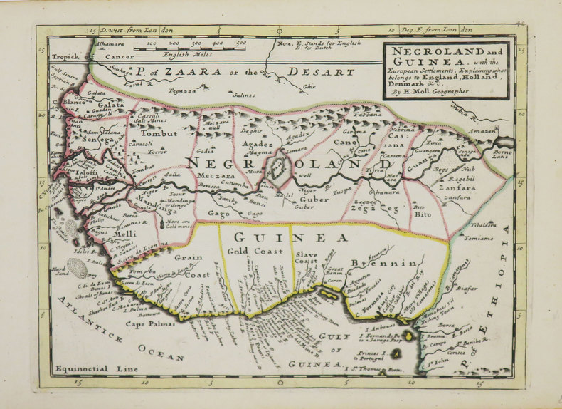
[AFRIQUE de l'OUEST] Negroland and Guinea with the European settlement, explaining what belongs to England, Holland, Denmark &c.
[Londres], Thomas and John Bowles, [circa 1736]. 204 x 275 mm.
Riferimento per il libraio : LBW-3565
|
|
|
MOLL (Herman).
[BERMUDES] The Island of Bermudos divided into its tribes, with the castles, forts &c.
Londres, Thomas and John Bowles, [circa 1736]. 203 x 270 mm.
Riferimento per il libraio : LBW-3559

|
|
|
MOLL (Herman).
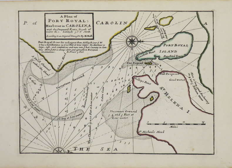
[CAROLINE du SUD] A Plan of Port Royal harbour in Carolina with the proposed forts, depth of water &c.
Londres, Thomas and John Bowles, [circa 1736]. 200 x 270 mm.
Riferimento per il libraio : LBW-3563
|
|
|
MOLL (Herman).
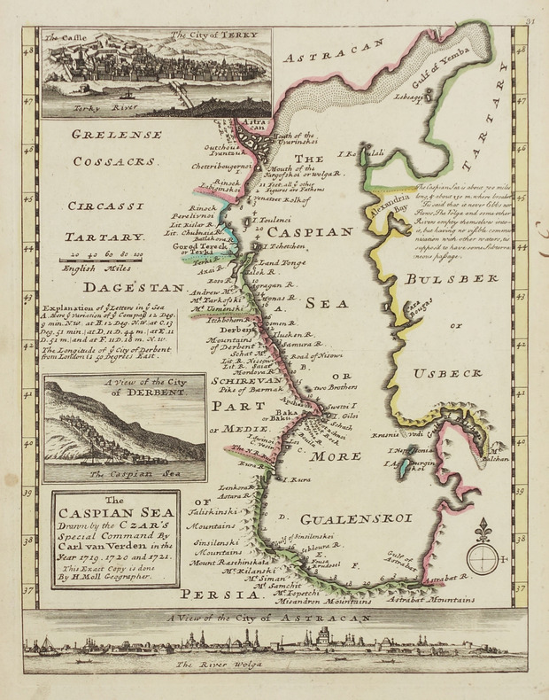
[MER CASPIENNE] The Caspian sea drawn by the Czar's special command by Carl van Verden in the year 1719, 1720 and 1721.
[Londres, Thomas and John Bowles, circa 1736]. 262 x 205 mm.
Riferimento per il libraio : LBW-2913
|
|
|
MOLL (Herman).
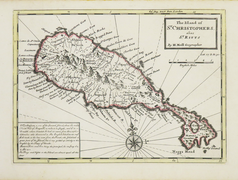
[SAINT KITTS] The Island of St. Christophers alias St. Kitts.
Londres, Thomas and John Bowles, [circa 1736]. 199 x 274 mm.
Riferimento per il libraio : LBW-3534
|
|
|
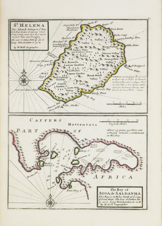
MOLL (Herman).
[SAINTE-HELENE] St. Helena - The bay of Agoa de Saldanha.
[Londres], Thomas and John Bowles, [circa 1736]. 275 x 203 mm.
Riferimento per il libraio : LBW-3543
|
|
|
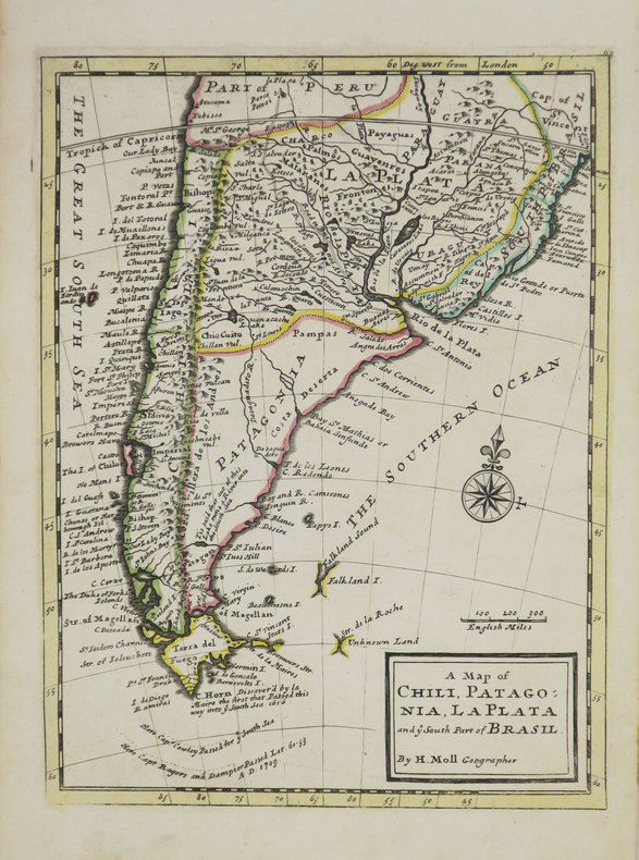
MOLL (Herman).
A Map of Chili, Patagonia, La Plata and ye south part of Brasil.
[Londres], Thomas and John Bowles, [circa 1736]. 276 x 206 mm.
Riferimento per il libraio : LBW-3519
|
|
|
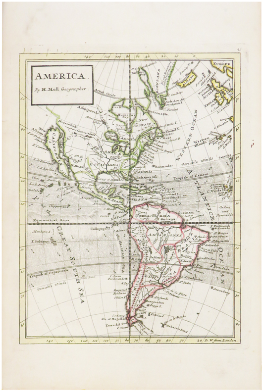
MOLL (Herman).
America.
[Londres, 1739]. 263 x 198 mm.
Riferimento per il libraio : LBW-482
|
|
|
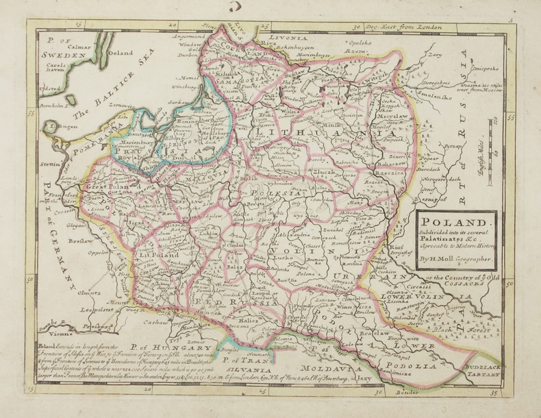
MOLL (Herman).
Poland subdivided into its several palatinates &c.
Londres, Thomas and John Bowles, [circa 1736]. 199 x 260 mm.
Riferimento per il libraio : LBW-2903
|
|
|
MOLL (Herman);
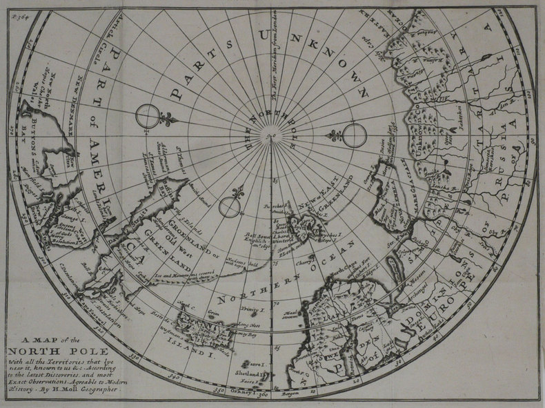
A Map of the North pole with all the territories that lye near it.
Londres 1739 201 x 271 mm.
Riferimento per il libraio : LBW-1194
|
|
|
Molony, Eileen (editor)
Portraits of Rivers
Ex Boots library book with marks only to covers, none to contents. No creasing to covers or to spine. A very clean very tight copy with maroon boards and no bumping to corners. 139pp. With features on eleven British rivers by eleven well-known authors, including the Itchen by Brian Vesey-Fitzgerald, the Severn by Brian Waters and the Thames by Laurie Lee.

|
|
|
MOLS-MARCHAL L.
NOUVELLE CARTE DU ROYAUME DES PAYS BAS
1875 carte noire entoilée, pliée in-octavo, dépliée - largeur 83,50 centimètres sur 69 centimètres de hauteur, délimiations en couleurs, 1875 Bruxelles L. Mols-Marchal,
Riferimento per il libraio : 3646
|
|
|
Mombert, J. I.
AN AUTHENTIC HISTORY OF LANCASTER COUNTY, IN THE STATE OF PENNSYLVANIA.
pp. vii, 617, 175 + Plus large folding frontis map, lithographed and engraved illustrations and several maps, one in color. Folding frontis map has old tape repair. Inked ownership of A. C. Kepler, July 1869. His initials on title page. Text very slightly browned. Large 8vo. Original full leather binding. Boards detached with some loss on spine. Hardbound. Howes M 720. PA 45 rear
|
|
|
MONALDINI Venanzio (attivo 1765 - 1829 circa)
Nuova Pianta di Roma Moderna estratta dalla grande del Nolli corretta ed accresciuta de' nomi delle contrate indicati al lor
Pianta della città di Roma basata sulla mappa di Giovanni Battista Nolli (1692-1756). Incisione di Pietro Ruga. Con una legenda (I - XIV), scala e titolo "Nuova pianta di Roma moderna estratta dalla grande del Nolli: nell'angolo in basso a destra, corretta ed accresciuta de 'nomi delle contrade indicate al loro rispettivo sito".Include 4 piani inserti del Pantheon, della basilica di San Paolo, del mausoleo di Santa Costanza e della chiesa di San Lorenzo.Si tratta della prima edizione della pianta che il Ruga disegnò ed incise per l'editore Venanzio Monaldini, il cui successo e diffusione è testimoniato dal fatto che venne ristampata in successive sei edizioni fino al 1843. Sul lato destro sono raffigurate le piante del Mausoleo di Santa Costanza, Basilica di San Paolo e Panthon; in alto a destra San Lorenzo fuori le mura. IN basso a destra, sopra al titolo, è inciso l'elenco dei 14 Rioni. Nella pianta, assai dettagliata, da notare l'emiciclo di Piazza del Popolo realizzato solo per metà.Incisione in rame, in 20 sezioni posate su lino e più volte ripiegate, racchiuse in astuccio in cartonato coevo. Ottime condizioni. Town plan of Rome based on map by Giovanni Battista Nolli, ( fl. 1692-1756). Engraved by Pietro Ruga. With a key (I - XIV), scale and text "Nuova pianta di Roma moderna estratta dalla grande del Nolli : corretta ed accresciuta de' nomi delle contrade indicati al loro rispettivo sito", in lower right corner.Includes 4 inset plans of the Pantheon, St. Paul's basilica, the mausoleum of St. Costanza and the church of San Lorenzo.Dissected in 20 sections and laid on linen, as issued. Fine condition.A fine and rare 1843 case format map of Rome, Italy by Venanzio Monaldini. This extraordinary map of Rome heavily references, with various updates and revisions, the seminal 1734 map of Rome by Giovanni Battista Nolli. Nolli’s map was the first modern map of Rome and basis of almost all subsequent maps of Rome until approximately 1870, when Rome became the capitol of Italy and more modern plans were issued. Depicts the city in extraordinary detail labeling all streets, ferry crossings, bridges, parks, and historic buildings. Surrounded by plans of important buildings including the Mausoleum of Saint Constance, the Basilica of St. Paul, a layout of the Pantheon, and the floor of the Church of Saint Lorenzo. This map was designed with the traveler in mind and thus bisected and backed with linen for easy folding. Comes with original slipcase. Most likely engraved by Pietro Ruga, a prominent Rome based engraver best known for his architectural plans and views. Published from Venanzio Monaldini’s bookshop on 79 Piaza di Spagna, Rome, Italy. Marigliani, Le Piante di Roma nelle collezioni private, p. 307, n. 233. Scaccia Scarafoni p. 258.

|
|
|
MONALDINI Venanzio (attivo 1765 - 1829 circa)
Pianta della Citta di Roma con la indicazione di tutte le Antichita e in Nuovi Abbellimenti
Incisione in rame, montata su tela coeva e divisa in 32 stacchi. Riporta in basso la nota “Publicata spese di Venanzio Monaldini Libraio e Cartolaro in Piaz.ª di Spagna Nº19 an.º 1824”. Molto ben conservata. La mappa raffigura la città entro la cinta delle mura, come incisa su una lastra di pietra. Sui lati la pianta è arricchita da sono16 piccole vedute raffiguranti alcuni tra i maggiori monumenti: Basilica di S. Pietro; Basilica di S.M. Maggiore; Pantheon di Agrippa; Foro romano; Basilica di S. Giovanni in Laterano; Basilica di S. Paolo; Campidoglio; Anfiteatro Flavio; Piramide di C. Cestio; Foro Trajano; Monte Cavallo. Ai lati della pianta vi è poi un lungo elenco di toponimi.Prima edizione della più nota e migliore pianta di Pietro Ruga, pubblicata da Venanzio Monaldini. La città è raffigurata come se fosse incisa su una grande lastra di pietra affissa a parete mediante grappe metalliche, riprendendo in questo un'invenzione del Piranesi (la pianta inserita nell'opera Le Antichità Romane del 1756). Piazza del Popolo è rappresentata con i due emicicli appena completati (1823). Secondo Scaccia Scarafoni la pianta ha una scla di 1:7000. First edition of the "marble map" of Rome by Pietro Ruga.Copper engraving, mounted on coeval canvas and divided into 32 pieces.Below is the note ublicata spese di Venanzio Monaldini Libraio e Cartolaro in Piaz.ª di Spagna Nº19 an.º 1824".Very well preserved. The map depicts the city within the walls, as carved on a stone. On the sides the plant is enriched by 16 small views representing some of the major monuments: Basilica di S. Pietro; Basilica di S.M. Maggiore; Pantheon di Agrippa; Foro romano; Basilica di S. Giovanni in Laterano; Basilica di S. Paolo; Campidoglio; Anfiteatro Flavio; Piramide di C. Cestio; Foro Trajano; Monte Cavallo. On the sides of the plant there is also a long list of toponyms. Marigliani, Le Piante di Roma nelle collezioni private, p. 319, n. 249; Frutaz 188, Scaccia Scarafoni n. 264.

|
|
|
MONALDINI Venanzio (attivo 1765 - 1829 circa)
Vestigie di Roma Antica
Pianta a proiezione verticale, orografica, orientata con il nord in alto. Ristampa della pianta archeologica pubblicata nel 1819; nel cartiglio in basso a sinistra si legge, al luogo della dedica a papa Pio VII: "Pianta delle Vestigia di Roma secondo le osservazioni di Antonio de Romanis, arch. e socio dell' accad. di archeol. e di Antonio Nibby profess. di archeologia nell Vniv. di Roma e socio della stessa accademia dallo stesso corretta ed ampliata secondo le vltime scoperte. Data in luce da Venanzio Monaldini Libraio l'anno MDCCCXXVI".Pianta disegnata dagli archeologi Antonio De Romanis e Antonio Nibby, incisa da Giovanni Acquaroni per l'editore e committente Venanzio Monaldini.Come sottolinea Scaccia Scarafoni si tratta di un primo tentativo di riliebo scientifico dei soli ruderi allora conservati; intorno alla pianta sono diseganti i frammenti della Forma Urbis Severiana.Antonio de Romanis è un celebre architetto il cui nome è legato soprattutto al volume "Le antiche camere Esquiline dette comunemente delle Terme di Tito" del 1822, di fatto la prima relazione scientifica sugli ambienti della domus aurea in luce dopo gli scavi napoleonici.Antonio Nibby (Roma, 14 aprile 1792 – Roma, 29 dicembre 1839) è stato uno storico, archeologo e topografo italiano. Delle suddette discipline pose rigorosi fondamenti scientifici basandosi sull'analisi delle fonti classiche e medievali, lo studio dei monumenti e l'indagine diretta sul terreno. Fu studioso di topografia soprattutto di Roma antica e della Campagna Romana.Acquaforte, stampata su un grande foglio di carta coeva, con margini, in perfetto stato di conservazione. A vertical projection map, orographic, oriented with the north at the top. Reprint of the archaeological map published in 1819; in the cartouche at the bottom left we read, instead of the dedication to Pope Pius VII: "Pianta delle Vestigia di Roma secondo le osservazioni di Antonio de Romanis, arch. e socio dell' accad. di archeol. e di Antonio Nibby profess. di archeologia nell Vniv. di Roma e socio della stessa accademia dallo stesso corretta ed ampliata secondo le vltime scoperte. Data in luce da Venanzio Monaldini Libraio l'anno MDCCCXXVI".The map was drawn by the archaeologists Antonio De Romanis and Antonio Nibby, engraved by Giovanni Acquaroni for the publisher and customer Venanzio Monaldini.As Scaccia Scarafoni points out, this is a first attempt at scientific re-enactment of the only ruins then preserved; around the map are fragments of the Forma Urbis Severiana.Antonio de Romanis is a famous architect whose name is mainly linked to the volume "Le antiche camere Esquiline dette comunemente delle Terme di Tito" of 1822, in fact the first scientific report on the environments of the Domus Aurea after the Napoleonic excavations.Antonio Nibby (Rome, 14 April 1792 - Rome, 29 December 1839) was an Italian historian, archaeologist and topographer. He laid rigorous scientific foundations of the above mentioned disciplines based on the analysis of classical and medieval sources, the study of monuments and the direct investigation on the ground. He was a scholar of topography especially of ancient Rome and the Roman countryside.Etching, printed on a large sheet of contemporary paper, with margins, in perfect condition. Scaccia Scarafoni p. 46, n. 66.

|
|
|
MONCORNET (Balthazar).
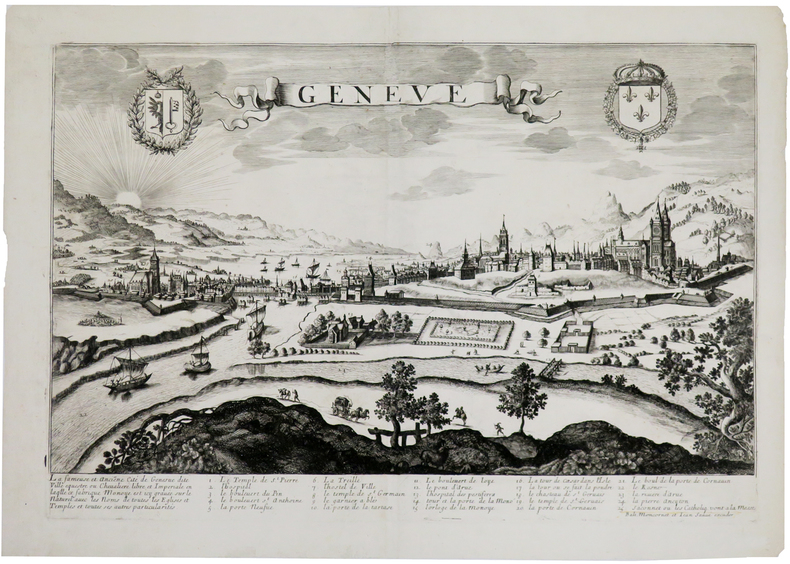
Genève.
[circa 1660]. 343 x 511 mm.
Riferimento per il libraio : LBW0028e
|
|
|
MONDHARE (Louis Joseph) & JEAN (Pierre).
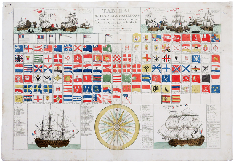
[PAVILLONS] Tableau de tous les pavillons que lon arbore sur les vaisseaux dans les quatre parties du Monde, où se trouve le pavillon de France décrété par l'Assemblée Nationale le 24 octobre 1790.
Paris, Mondhare et Jean, 1791. 592 x 866 mm.
Riferimento per il libraio : LBW-5966
|
|
|
MONDHARE (Louis Joseph).
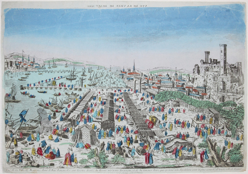
[BEAUCAIRE] Vue de la ville de Beaucaire dans le Bas Languedoc sur la rive droitte du Rosne vis-à-vis Tarascon, et de la fameuse foire qui sy tiens à la Magdelaine, c'est la plus considé.ble de toutte celle de France.
Paris, Mondhare, [circa 1790]. 284 x 408 mm.
Riferimento per il libraio : LBW-2623
|
|
|
MONDINOUX (F.).-
Le bridge (Etude sur la méthode ALBARRAN & NEXON). La déclaration, le Black wood, Le jeu de la carte.
Bagneux, Editions du Cep, 1947, in 8° broché, 217 pages ; couverture illustrée (fanée) ; dessins ; des annotations et des passages soulignés au crayon de couleur.
Riferimento per il libraio : 27343
|
|
|
MONGINOUX F.
Le bridge ( étude sur la méthode ALBARRAN et NEXON)La déclaration, le black wood, le jeu de la carte.
broché - 18x22,5 - sans date - 127 pp - éditionsdu CEPavec 2 illustrations dans le texte.
Riferimento per il libraio : 1923
|
|
|
MONI (Claude).
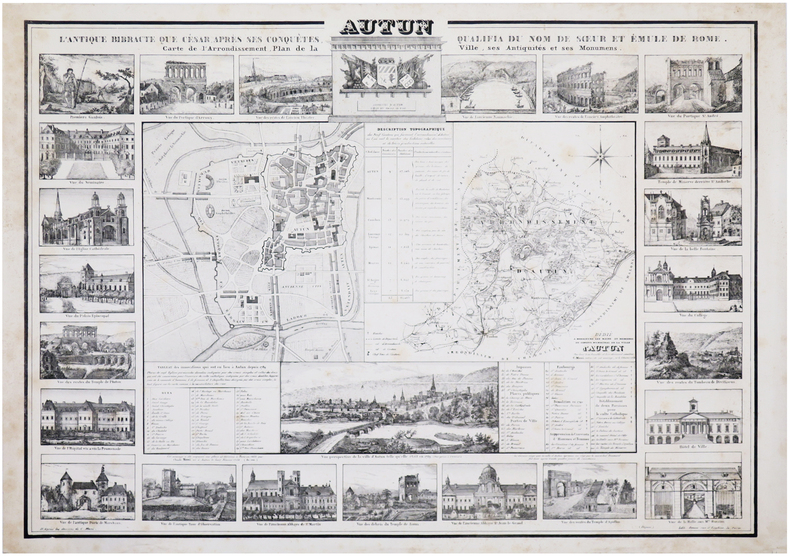
[AUTUN] Autun. L'antique Bibracte que César, après ses conquêtes, qualifia du nom de sœur et émule de Rome. Carte de l'arrondissement, plan de la ville, ses antiquités et ses monumens.
Paris, 1834. 575 x 798 mm.
Riferimento per il libraio : LBW-7189
|
|
|
Monk Charles
Bridge, système complet des enchères modernes
Albin Michel Broché 1970 In-8, (21x10.5 cm), broché, couverture illustrée, 276 pages, préface de José le Dentu ; plats légèrement défraîchis, pliures sur le dos, bon état. Livraison a domicile (La Poste) ou en Mondial Relay sur simple demande.
Riferimento per il libraio : nf186

|
|
|
MONMARCHE Marcel et MUIRHEAD Findlay
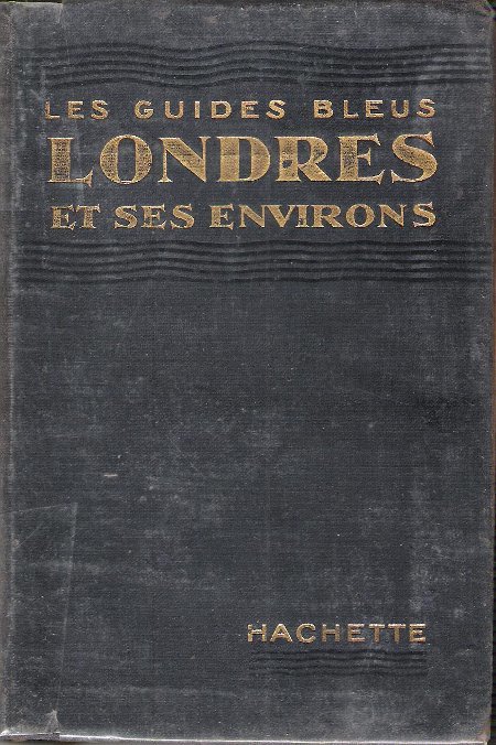
Les Guides Bleus : LONDRES et Ses Environs . Complet De Sa Carte Dépliante et De Ses Cartes En Couleurs .
Paris Librairie Hachette 1929 In 16 Collection " Les Guides Bleus " . Excursions , nombreux plans de voyage et de villes en couleurs et noir et blanc . Une grande carte dépliante représentant Londres avant la 2° Guerre Mondiale . Index alphabérique . Les endroits et monuments visités sont entourés au crayon . Cartes et Plans .- 252 p. + plans , 400 gr.
Riferimento per il libraio : 021165
|
|
|
MONMARCHE Marcel , sous La Direction
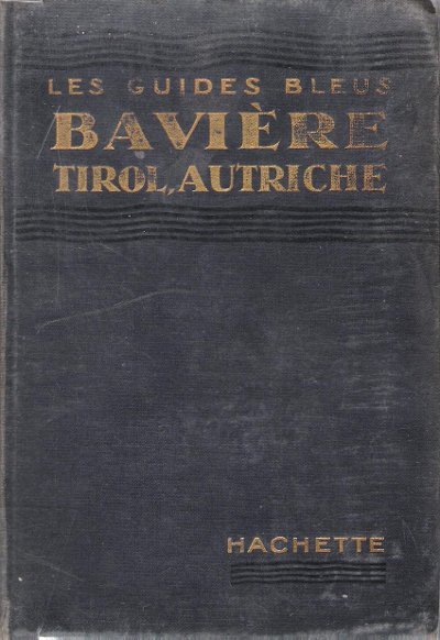
Bavière , Tirol , Bains De Bohème , Salzbourg , Vienne et Les Alpes Orientales
Paris Librairie Hachette 1914 In 16 Collection " Les Guides Bleus " . Excursions , nombreux plans de voyage et de villes en couleurs et noir et blanc . Index . Avec 38 plans et 15 cartes .- 520 p. + plans , 550 gr.
Riferimento per il libraio : 015270
|
|
|

 Ricevere i risultati per e-mail
 Scaricare i risultati in PDF
 RSS feed
 Link
Link


