|
|
|
No Author
Chin Coulee, Alberta, West of Fourth Meridian, Scale 1:50,000
36" x 25.5". Indicates 25 foot contours, water bodies, roads, rail lines, structures, etc. Average soiling and wear. Book

|
|
|
No Author
Dial Map of Greater Vancouver, British Columbia - Street Cars, Buses / Map of Burnaby - New Westminster and Parts of Adjacent Municipalities (including Surrey) Circa 1950
25 inches wide by 19 inches high. Vancouver map indicates parks and water in shades of green, transit routes in red. Shows route of the B.C. Electric Railway, Lulu Island Interurban, Fourth (4th) Ave. Trolley, Granville-Marpole Trolley, Cambie Trolley Coach, Powell Trolley, and various bus routes. Original price $0.35. Four-digit phone numbers. Advertisement suggests printing date circa 1950. Average wear and soiling overall with moderate sunning/tanning along some creases. Above-average soiling to front panel. A worthy copy of this rare vintage map. Book

|
|
|
No Author
Handy Map & Guide to London with index to Streets Cruchley's Handy Map of London
<p>Gall & Inglis' 1870's-1880's. Paperback. Very good. VGC.Gall & Inglis'.No date given but probably 1870's to 1880's prior to London Tower Bridge build which is not included on the map.Green hardbacksmall dentsnicks and light shelf wear on the cover with folded map in VGC.The map is in VGC but with small stain marks and foxing marks on the edgessmall tear on the edge of the map.The map is hand coloured and includes:RailwaysRailway StationsSteamer RoutesOmnibus and Tramway RoutesParks.The size of the map is: 30x20 inch.The scale of the map is: 3 3/4 to 1 mile.The map covers: From Hyde Parkincluding parts of Kensington Palace to Blackwall and from Mildmay Park to South Lambeth.The map is in VGC for its age. A collectable and scarce map.</p> Gall & Inglis' paperback
Riferimento per il libraio : 5388

|
|
|
No Author
Map of Grassy Lake, Alberta, West of Fourth Meridian, Scale 1:50,000
36" x 25.5". Indicates 25 foot contours, water bodies, roads, rail lines, structures, etc. Light wear. Unmarked. Book

|
|
|
No Author
Map of Hays Alberta, West of Fourth Meridian, Scale 1:50,000
36" x 25.5". Indicates 25 foot contours, water bodies, roads, rail lines, structures, etc. Light wear. Unmarked. Book

|
|
|
No Author
Map of Raymond, Alberta, West of Fourth Meridian, Scale 1:50,000
36" x 25.5". Indicates 25 foot contours, water bodies, roads, rail lines, structures, etc. Light wear. Unmarked. Book

|
|
|
No Author
Map of Township of Guelph, Ontario
25.5" x 16 3/8". Grey colouring. Includes owners' names for most acreages outside the city of Guelph. Map of Village of Hartfield (where Fergus Road meets Woolwich Road) in upper left corner, Date lightly handwritten in pencil (twice). 5" opening near left side of bottom edge is barely visible. A wonderful historical and genealogical reference ideally suited to framing and displaying in home or office. Please note that our photo shows only the left half of the map. Book

|
|
|
No Author
Map of Warner County, Alberta, West of Fourth Meridian, Scale 1:50,000
36" x 25.5". Indicates 25 foot contours, water bodies, roads, rail lines, structures, etc. Light wear. Unmarked. Book

|
|
|
No Author
Mapas Turisticos Provinciales - Islas Canarias: Aprobados Por El Consejo Superior Geographico
Text in Spanish. One-sided color map of the Islas Canarias. 69 x 45cm. Clean and unmarked with moderate wear. Includes tourist information. A quality vintage copy. Book

|
|
|
No author
Newnes Motorists Touring Maps and Gazetteer
15th edition 2nd impression. 4to, 64 pages, maps, maps on front and back endpapers. Poor condition hardback gilt writing on spine and front cover, hinge loose, some damage to bottom of spine some loss at head of spine. Edges of pages browning. 39096. eng
|
|
|
No Author
Picture Butte, Lethbridge County, Alberta, West of Fourth Meridian, Scale 1:50,000
36" x 25.5". Indicates 25 foot contours, water bodies, roads, rail lines, structures, etc. Light wear. Book

|
|
|
No Author
Rochester Guidebook
Ex-library book with the usual stamps, stickers, etc. Binding is solid and text/interior is clean and free of marking of any kind. 128 pages in small format. Rochester, New York's first guide book, an alphabetical listing of sites, businesses, educational facilities, government, pastimes, clubs, philanthropies "and other interests." Fold-out city map at front with a few small tears at attachment points to book, b&w photos, a few ads at back. Binding is worn and appears to be the library's with paperback covers adhered to hardback boards.

|
|
|
No Author
Skiff, Alberta, West of Fourth Meridian, Scale 1:50,000
36" x 25.5". Indicates 25 foot contours, water bodies, roads, rail lines, structures, etc. Light wear. Book

|
|
|
No Author
Travers, Alberta - West of Fourth Meridian, Scale 1:50,000
36" x 25.5". Indicates 25 foot contours, water bodies, roads, rail lines, structures, etc. Light wear. Book

|
|
|
Noble, Isabella; Noble, John; Quintero, Josephine; Sainsbury, Brendan
Andalucia : Lonely Planet Guide
Appears unused. No marks or inscriptions. No creasing to covers or to spine. A very clean very tight copy with bright unmarked boards and no bumping to corners. 391pp. Lonely Planet guide to the Andalucia region of Spain including Seville and Gibraltar.

|
|
|
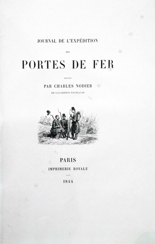
Nodier (Charles) :
Journal de l'Expédition des Portes de Fer.
Paris, Imprimerie Royale, 1844 ; grand in-8 ; cartonnage à la bradel de l'éditeur ; [4], XVI, 329 pp., [1] f. blanc, 40 planches hors-textes tirées sur chine contrecollées, protégées par des serpentes légendées et une carte dépliante en fin d'ouvrage et 200 vignettes gravées sur bois dans le texte.
Riferimento per il libraio : 13368
|
|
|
NOEL (Joseph).
Harper's ferry en 1865.
Paris, [circa 1860]. 129 x 166 mm.
Riferimento per il libraio : LBW-1254

|
|
|
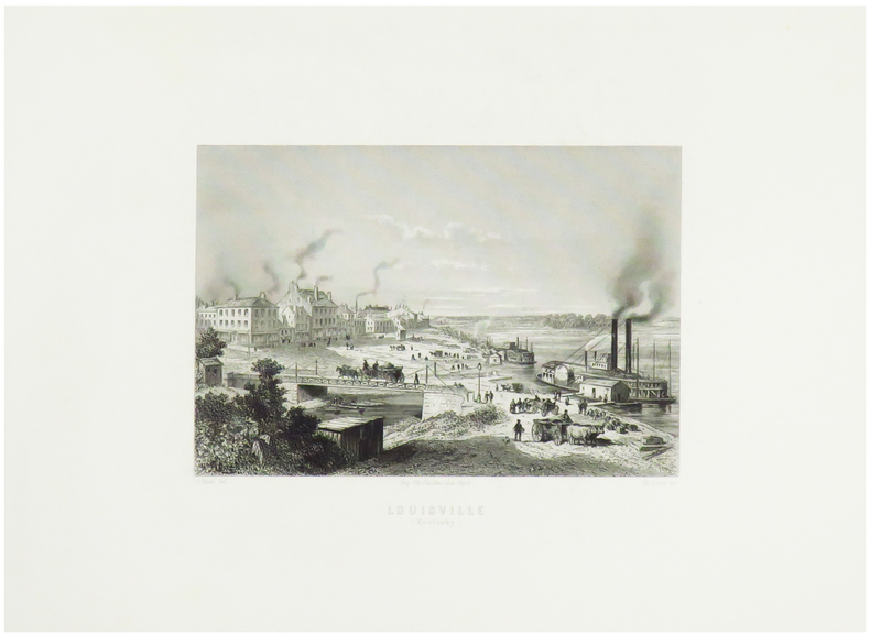
NOEL (Joseph).
Louisville (Kentucky).
Paris, [circa 1860]. 128 x 162 mm.
Riferimento per il libraio : LBW-1253
|
|
|
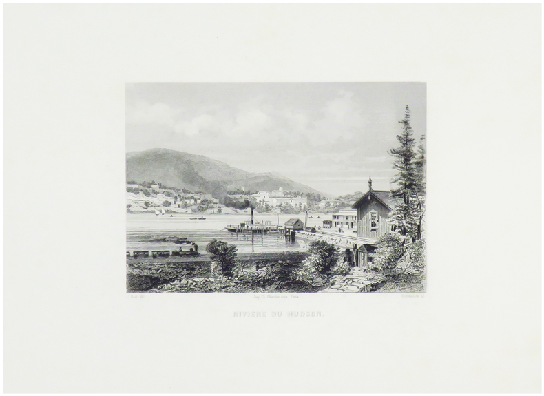
NOEL (Joseph).
Rivière du Hudson.
Paris, [circa 1860]. 124 x 159 mm.
Riferimento per il libraio : LBW-1251
|
|
|
NOEL M
Carte routière de la France à l'usage des voyageurs
BassetM. Paris ,Chez Basset, 1829. Grande carte dépliante de 92*63 cm, repliée sous cartonnage. Carte en noir avec en bord, des suppléments pour : Madrid et Lisbonne. Turin, Florence, Milan, Rome et Naples. Vienne et Constantinople. Dresde, Berlin, Varsovie, Moscou et Saint Petersbourg. Copenhague et Stockholm. Amsterdam. Indiquant exactement les différentes espèces de routes et les distances intermédiaires des villes, bourgs, villages en lieues de poste de 2000 toises. Quelques déchirures aux pliures.
Riferimento per il libraio : 188514

|
|
|
NOELLAT (Jean-Baptiste).
[RHÔNE] Nouvelle carte topographique et statistique du département du Rhône réduite d'après la grande carte de Cassini.
Lyon et Villefranche, 1827. 821 x 593 mm.
Riferimento per il libraio : LBW-5138

|
|
|
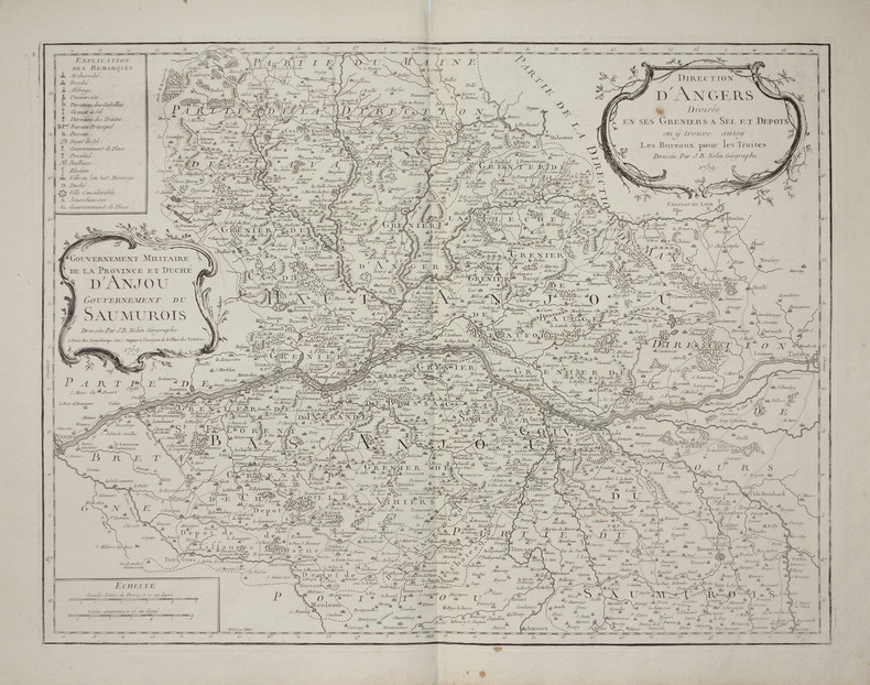
NOLIN (Jean-Baptiste).
[ANJOU/GRENIERS à SEL] Direction d'Angers divisée en ses greniers à sel et dépôts, on y trouve aussy les bureaux pour les traites - Gouvernement militaire de la province et duché d'Anjou, gouvernement du Saumurois.
Paris, Longchamps, 1759. 474 x 613 mm.
Riferimento per il libraio : LBW-2797
|
|
|
NOLIN (Jean-Baptiste).
[ANJOU/GRENIERS à SEL] Gouvernement militaire de la province et Duché d'Anjou. Gouvernement du Saumurois - Direction d'Angers divisée en ses greniers à sel et dépôts, on y trouve aussy les bureaux pour les traites.
Paris, Mondhare et Jean. 1787 472 x 614 mm ; repliée sous couverture cartonnée recouverte de papier bleu de l'époque (200 x 127mm) ; étiquette sur le premier plat portant le titre manuscrit à l'encre.
Riferimento per il libraio : LBW-8429

|
|
|
NOLIN (Jean-Baptiste).
[GUYENNE & GASCOGNE] Le gouvernement général de Guienne et Gascogne dédié à Sa Majesté, divisé en deux lieutenances générales de Haute et Basse Guienne et en une lieutenance de roy particulier.
Paris, Mondhare et Jean, 1787. 462 x 618 mm ; repliée sous couverture cartonnée recouverte de papier bleu de l'époque (200 x 128mm) ; étiquette sur le premier plat portant le titre manuscrit à l'encre.
Riferimento per il libraio : LBW-8443

|
|
|
NOLIN (Jean-Baptiste).
[GUYENNE] Carte de la Guyenne, du Bourdelois, partie du Périgord et pays voisins.
À Bourdeaux, à la Bourse et au grand Bureau, 1776. 522 x 680 mm ; repliée sous couverture cartonnée recouverte de papier bleu de l'époque (200 x 128mm) ; étiquette sur le premier plat portant le titre manuscrit à l'encre.
Riferimento per il libraio : LBW-8458

|
|
|
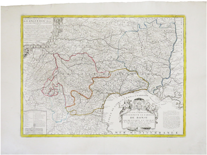
NOLIN (Jean-Baptiste).
[LANGUEDOC] Le gouvernement général de Languedoc divisé en trois lieutenances générales.
Paris, Mondhare et Jean, 1787. 450 x 610 mm.
Riferimento per il libraio : LBW-7845
|
|
|
NOLIN (Jean-Baptiste).
[LYONNAIS] Le gouvernement général et militaire du Lyonnois comprenant les provinces du Lyonnois, du Forez, et du Beaujolois.
Paris, Mondhare et Jean, [circa 1780]. En deux feuilles pouvant être jointes pour former une carte de 779 x 616 mm ; repliée sous couverture cartonnée recouverte de papier bleu de l'époque (199 x 128mm) ; étiquette sur le premier plat portant le titre manuscrit à l'encre.
Riferimento per il libraio : LBW-8422

|
|
|
NOLIN (Jean-Baptiste).
Amérique septentrionale avec les nouvelles découvertes fait au nord, par les Russes et les Anglois.
[Paris, Mondhare, 1791]. 206 x 229 mm.
Riferimento per il libraio : LBW-4850

|
|
|
NOLIN (Jean-Baptiste).
Carte de l'étendüe de la jurisdiction de la Cour des Aydes composée sur les mémoires de ladite compagnie.
Paris, chez l'auteur, 1709. 412 x 524 mm.
Riferimento per il libraio : LBW-6955

|
|
|
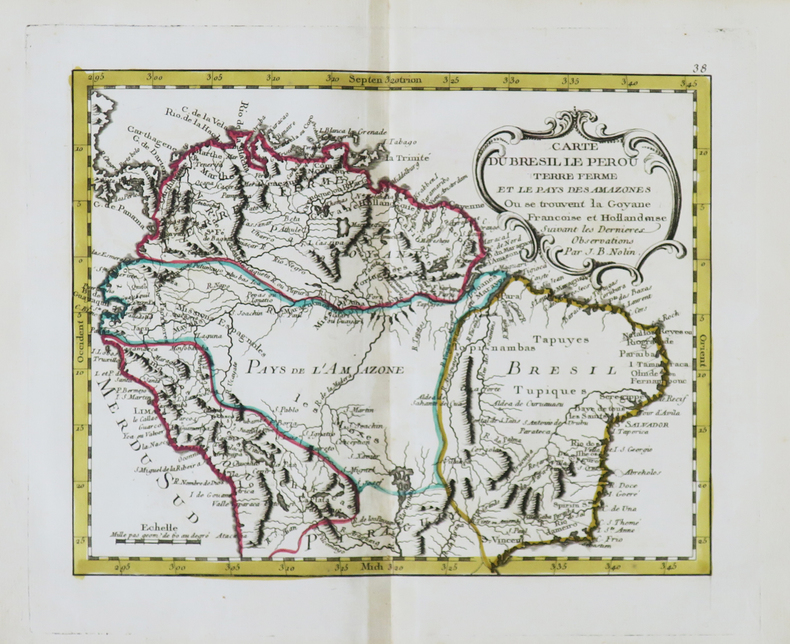
NOLIN (Jean-Baptiste).
Carte du Brésil le Pérou Terre Ferme et le Pays des Amazones où se trouvent la Goyane françoise et hollandoise.
[Paris, Mondhare, 1791]. 205 x 257 mm.
Riferimento per il libraio : LBW-4854
|
|
|
NOLIN (Jean-Baptiste).
Golfe du Mexique.
[Paris, Mondhare, 1791]. 203 x 262 mm.
Riferimento per il libraio : LBW-4853

|
|
|
NOLIN (Jean-Baptiste).
Hémisphère occidental ou Nouveau Monde.
[Paris, Mondhare, 1791]. 224 x 185 mm.
Riferimento per il libraio : LBW-4839

|
|
|
NOLIN (Jean-Baptiste).
L'Empire de la Chine avec les isles du Japon et la Corée.
[Paris, Mondhare, 1791]. 204 x 261 mm.
Riferimento per il libraio : LBW-4845

|
|
|
NOLIN (Jean-Baptiste).
L'Europe divisée en touttes ses régions et grands estats.
Paris, Basset, 1817. 477 x 654 mm.
Riferimento per il libraio : LBW-4992

|
|
|
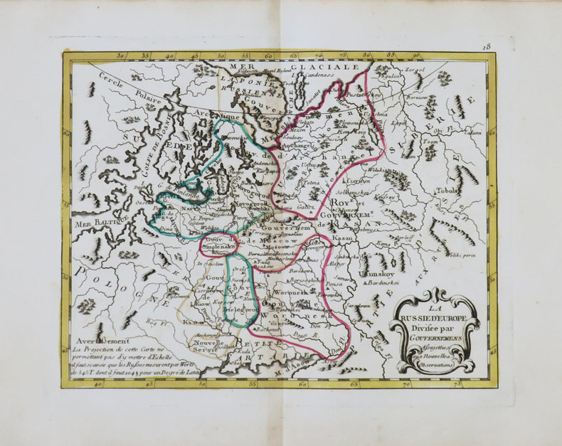
NOLIN (Jean-Baptiste).
La Russie d'Europe divisée par gouvernemens.
[Paris, Mondhare, 1791]. 202 x 261 mm.
Riferimento per il libraio : LBW-4844
|
|
|
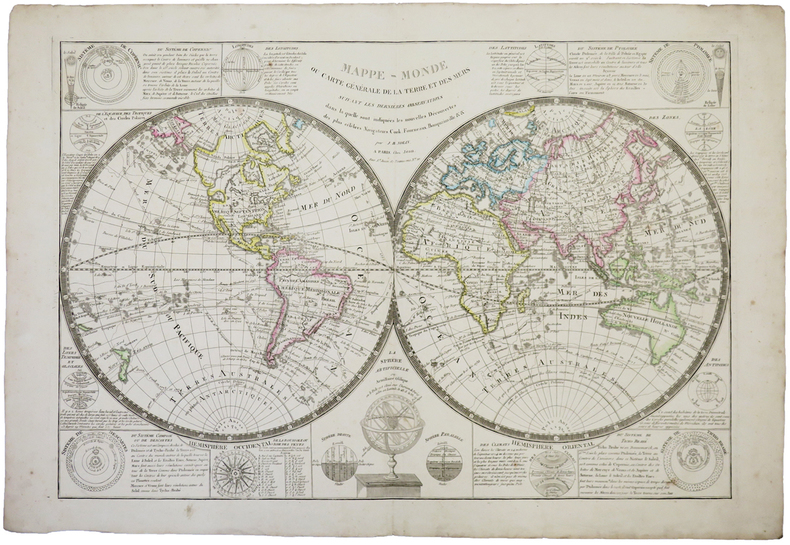
NOLIN (Jean-Baptiste).
Mappe-monde ou carte générale de la terre et des mers.
Paris, Jean, [circa 1800]. 513 x 754 mm.
Riferimento per il libraio : LBW-744
|
|
|
NOLIN (Jean-Baptiste).
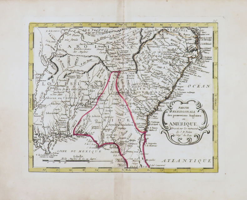
Partie méridionale des possessions angloises en Amérique.
[Paris, Mondhare, 1791]. 203 x 260 mm.
Riferimento per il libraio : LBW-4852
|
|
|
NOLIN (Jean-Baptiste).
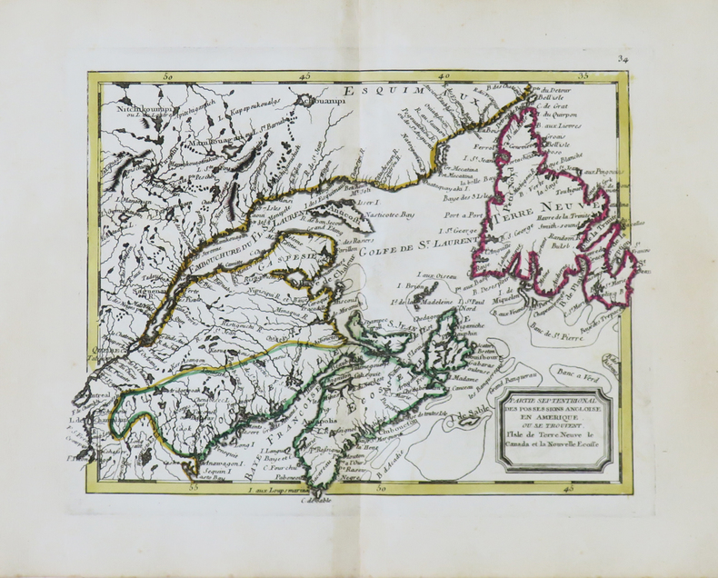
Partie septentrional des possessions angloise en Amérique où se trouvent l'isle de Terre Neuve le Canada et la Nouvelle Écosse.
[Paris, Mondhare, 1791]. 200 x 258 mm.
Riferimento per il libraio : LBW-4851
|
|
|
NOLIN (Jean-Baptiste).
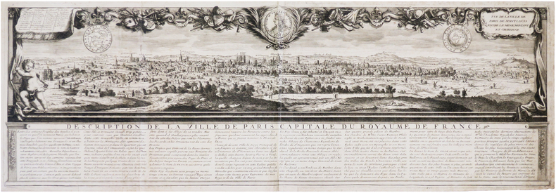
Vue de la ville de Paris de Mont Louis entre le Ménil Montant et Charonne.
[Paris], J.B. Nolin, [circa 1690]. 255 x 775 mm.
Riferimento per il libraio : LBW-7907
|
|
|
NOLIN (Jean-Baptiste);
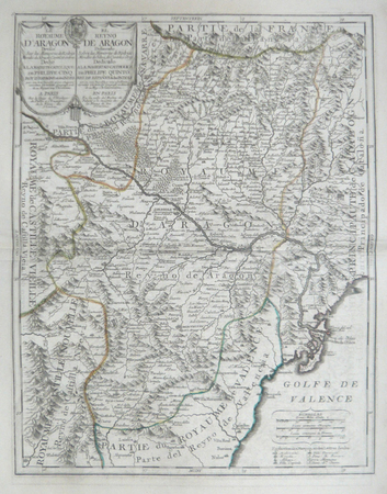
[ARAGON] Le royaume d'Aragon dressé sur les mémoires de Rodrigo Mandes de Silva, de Cantel, et autres.
Paris J.B. Nolin circa 1705 550 x 430 mm.
Riferimento per il libraio : LBW06191
|
|
|
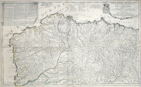
NOLIN (Jean-Baptiste);
[GALICE/ASTURIES] Le royaume de Galice divisé en plusieurs territoires, et les Asturies divisées en Asturie d'Oviedo et de Santillana. Dressez sur les mémoires de Rodrigo Mendez Silva.
Paris J.B. Nolin 1704 En deux feuilles jointes 447 x 731 mm.
Riferimento per il libraio : LBW06193
|
|
|
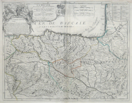
NOLIN (Jean-Baptiste);
[PAYS BASQUE ESPAGNOL] La Biscaye divisée en ses quatre parties principales et le royaume de Navarre divisé en ses merindades.
Paris J.B. Nolin circa 1705 450 x 577 mm.
Riferimento per il libraio : LBW06192
|
|
|
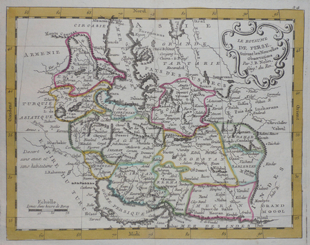
NOLIN (Jean-Baptiste);
[PERSE] Le royaume de Perse.
circa 1780 202 x 261 mm.
Riferimento per il libraio : LBW0251a
|
|
|
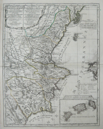
NOLIN (Jean-Baptiste);
[VALENCE/MURCIE] Les royaumes de Valence et Murcie tirez de Cantel. Corrigés et augmentés sur les mémoires de Rodrigo Mendes de Silva.
Paris J.B. Nolin circa 1705 560 x 434 mm.
Riferimento per il libraio : LBW06190
|
|
|
NOLIN (Jean-Baptiste);
Le royaume de France avec ses acquisitions divisé en gouvernemens de provinces.
Paris chés l'auteur 1747 497 x 606 mm.
Riferimento per il libraio : LBW-381
|
|
|
NOLIN, Jean Baptiste
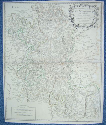
Gouvernement Général Militaire de Bourgogne qui comprend le Duché de Bourgogne, divisé en tous ses Présidiaux et Bailliages et les Provinces de Bresse et de Bugei. [ Carte ]
Dressé sur les dernières Observations par J. B. Nolin Géographe, gravée par Vallet, carte au format 535 x 650 mm, limites des présidiaux et bailliages rehaussées en couleurs, Chez Longchamps, Paris, 1758
Riferimento per il libraio : 26476
|
|
|
NOLIN, Jean Baptiste
Gouvernement Général Militaire de Bourgogne qui comprend le Duché de Bourgogne, divisé en tous ses Présidiaux et Bailliages et les Provinces de Bresse et de Bugei. [ Carte ]
Dressé sur les dernières Observations par J. B. Nolin Géographe, gravée par Vallet, carte au format 535 x 650 mm, limites des présidiaux et bailliages rehaussées en couleurs, Chez Longchamps, Paris, 1758 Mouill. et frott. en marge droite. Prix en l'état. Français

|
|
|
Nolin, Jean-Baptiste (1686-1762). Cartographe
CARTE DE : "Afrique divisée en ses grandes régions et subdivisée en ses grands Estats, et moindres régions et différens peuples" , dressée... par J.-B. Nolin... corrigée ,et augmentée l'An 1807 par L. DENIS Géographe
Paris Basset 1807 carte ancienne colorée d'époque en vert , rouge et jaune, sur papier vergé ligné, cartouche non coloré, Format total : 56 centimètres de haut par 75 centimètres de large, 1807 Paris Basset Editeur,
Riferimento per il libraio : 28312
|
|
|
NOLLI Giambattista (Como 1701 - Roma 1756)
La Topografia di Roma di Gio Batta Nolli dalla Maggiore in questa Minor Tavola dal Medesimo Ridotta
Acquaforte e bulino, 1748, firmata sulla pietra con la scala in basso al centro "Piranesi e Nolli incisero". Celebre pianta di Roma, incisa da Giovanni Battista Nolli e Carlo Nolli, magnificamente arricchita da elementi decorativi incisi da Giovanni Battista Piranesi. La mappa descrive il centro di Roma su una grande quinta dispiegata dal putto in alto a destra. In alto a sinistra un putto sorregge lo stemma del cardinale Alessandro Albani, al quale l'opera è dedicata, come riportato nel cartiglio sottostante. Al lato sinistro, al di sotto del putto reggi stemma, si diparte una legenda con un elenco di centosettanta luoghi d'interesse, palazzi, monumenti e chiese, che prosegue sul bordo destro. In basso al centro, sui ruderi di un piedistallo, è riportato il titolo. Nella parte bassa della composizione si osservano un'immagine speculare della Basilica di San Pietro, la facciata della Basilica di Santa Croce in Gerusalemme di Pietro Passalacqua e Domenico Gregorini, la Fontana di Trevi di Nicola Salvi e la facciata della Basilica di Santa Maria Maggiore di Ferdinando Fuga. La pianta è conosciuta come "Pianta piccola" del Nolli; piccola per distinguerla dal celebre grande rilievo, impresso su 12 fogli (più 6 di indice), di cui questa pianta rappresenta la riduzione. È numerata 33-34 perché seguiva, nella pubblicazione completa, i 6 fogli di indice della pianta grande. Il titolo è riportato in basso, entro il piedistallo della colonna traiana. Accanto, entro un frammento architettonico su cui è riportata la "scala in palmi romani d'architettura", la sottoscrizione degli incisori C. Nolli e G.B. Piranesi. La dedica di G.B. Nolli al cardinale Alessandro Albani è datata "Roma il dì primo del 1748". L'indicazione di pubblicazione si trova nel lembo, ripiegato, del cartiglio sul lato destro. Acquaforte, impressa su carta vergata coeva, completa dei margini, leggera e diffusa brunitura, minime abrasioni, per il resto in buono stato di conservazione. Bibliografia Scaccia Scarafoni n. 227; Marigliani, 190; Frutaz CLXIX a-c; Wilton-Ely 1994, n. 1007. Etching and engraving, 1748, signed on stone with scale at bottom center "Piranesi e Nolli incisero". Famous map of Rome, engraved by Giovanni Battista Nolli and Carlo Nolli, beautifully enriched with decorative elements engraved by Giovanni Battista Piranesi. The map depicts the center of Rome on a large backdrop unfolded by the putto in the upper right. On the upper left a putto holds the coat of arms of Cardinal Alessandro Albani, to whom the work is dedicated, as shown in the cartouche below. On the left side, below the putto holding the coat of arms, departs a legend with a list of one hundred and seventy places of interest, palaces, monuments, and churches, which continues on the right border. At the bottom center, on the ruins of a pedestal, is the title. The lower part of the composition shows a mirror image of St. Peter's Basilica, the facade of the Basilica of Santa Croce in Gerusalemme by Pietro Passalacqua and Domenico Gregorini, the Trevi Fountain by Nicola Salvi, and the facade of the Basilica of Santa Maria Maggiore by Ferdinando Fuga. The map is known as Nolli's "Small Plan"; small to distinguish it from the famous large relief, imprinted on 12 sheets (plus 6 of index), of which this map represents the reduction. It is numbered 33-34 because it followed, in the complete publication, the 6 index sheets of the wall map. The title is given at the bottom, within the pedestal of the Trajan column. Next to it, within an architectural fragment on which is the "scala in palmi romani d'architettura", is the signature of engravers C. Nolli and G.B. Piranesi. G.B. Nolli's dedication to Cardinal Alessandro Albani is dated "Roma il dì primo del 1748." The indication of publication is in the flap, folded, of the cartouche on the right side. Etching, impressed on contemporary laid paper, complete with margins, light and diffuse browning, minimal abrasions, otherwise in good condition. Bibliografia Scaccia Scarafoni n. 227; Marigliani, 190; Frutaz CLXIX a-c; Wilton-Ely 1994, n. 1007.

|
|
|
NOLLI Giambattista (Como 1701 - Roma 1756)
Roma
Celebre pianta topografica di Roma, una rielaborazione, su invenzione di Giovanni Battista Nolli, della pianta xilografica di Leonardo Bufalini raffigurante la città nel 1551. La pianta era venduta insieme a quella grande e piccola del Nolli, di cui costituisce le tavv. 35 e 36. Fu incisa da Franco Monaco e Carlo Nolli, la cui sottoscrizione si legge in basso a sinistra. In alto a sinistra, entro un cartiglio, dedica del Nolli al cardinale Silvio Valenti Gonzaga. Nei due angoli inferiori, sono state inserite le vedutine del Pantheon a sinistra, e dell'Arco di Giano a destra. Orientamento con il nord in alto. Scalimetro in palmi romani. Ai lati, legenda di 307 voci. In basso a destra, le note tipografiche della pianta edita da Leonardo Bufalini nel 1551: "Edita per Mag[ist]r[u]mLeonardum Die XXVI. Men. Maij Anno Domini MDLI"; al centro, la notizia del privilegio e la data: "Romae cum privil. Sum. Pontificis, et Super. permissu anno 1748". Nolli non fece alcun tentativo di migliorare le incongruenze della mappa del Bufalini: gli angoli del Tridente di Piazza del Popolo sono ancora disuguali, e il Circo Massimo ha entrambe le estremità di forma, invece che una sola. Acquaforte e bulino, impressa su carta vergata coeva, con margini, in perfetto stato di conservazione. Bibliografia Frutaz, Le piante di Roma, CLXIX a-c. Famous topographical map of Rome, a reworking, on the invention of Giovanni Battista Nolli, of Leonardo Bufalini's xylographic plan depicting the city in 1551. The plan was sold together with Nolli's large and small plans, of which it constitutes Tables 35 and 36. It was engraved by Franco Monaco and Carlo Nolli, whose signature can be read at lower left. Nolli made no attempt to rectify inconsistencies of the Bufalini map when he prepared the reduced copy. The Popolo trivium still has its unequal angles, and the Circus Maximus is still semicircular at both ends instead of one. He did, however, give greater relief than the original to the densely populated part of the city by shading in the city blocks. This is the same graphical convention he used on his own map. He maintained Bufalini's emphasis on antiquity by copying them exactly as in the original. Indeed he acknowledges this aspect by including views of ancient buildings at the bottom, where the map appears to be scrolled up, so as to reveal the "Colonnacce," a broken aqueduct, and the Pantheon (with Baroque additions) in the lower left corner, and the three ruins of the Forum Boarium in the lower right hand corner: The round Temple of "Mater Matuta," the Arch of Janus (with Medieval additions) and the Temple of "Fortuna Virilis." The map was engraved, as signed, by Franco Monaco and Carlo Nolli. On the upper left, the cartouche with the dedication to the Cardinal Silvio Valenti Gonzaga. Etching with engraving, a fine impression on contemporary laid paper, with margins, perfect condition. Bibliografia Frutaz, Le piante di Roma, CLXIX a-c.

|
|
|

 Ricevere i risultati per e-mail
 Scaricare i risultati in PDF
 RSS feed
 Link
Link


