Vandermaelen, Philippe Marie GuillaumeBiblio.com
47 215 résultats
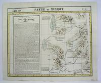
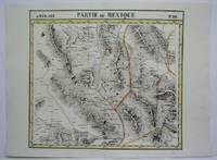
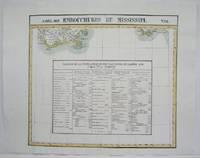
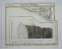
1825réf. M4484Brussels 1825. Very Good minor worming on upper and lower portion of map along the central fold proficiently repaired. Notes: The first atlas of the world on a uniform scale. If assembled as a globe gores forms a very large globe. Size : 465x580 mm 18.25x22.875 Inches Coloring: Original Outline Coloring Category: Maps Central America Mexico unknown
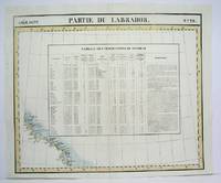
réf. M4476Brussels 1825. Excellent. Notes: The first atlas of the world on a uniform scale. If assembled as a globe gores forms a very large globe. Size : 485x579 mm 19.125x22.75 Inches Coloring: Original Outline Coloring Category: Maps Canada North; unknown
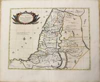
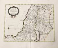
1710réf. M10226Amsterdam: Jean Covens & Corneille Mortier c.1710. Very Good. Notes: Map of the Holy Land with a large decorative cartouche showing the location of the twelve tribes in the Holy Land. Size : 410x530 mm 16.14x20.87 Inches Coloring: Original Hand Coloring Category: Maps Asia Middle East Holy Land & Palestine; Jean Covens & Corneille Mortier unknown
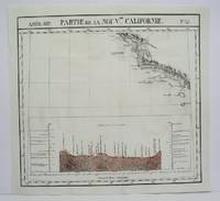
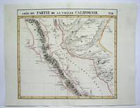
1825réf. M4512Brussels 1825. Very Good minor worming on upper and lower portion of the map along the central fold proficiently repaired. Notes: The first atlas of the world on a uniform scale. If assembled as a globe gores forms a very large globe. Size : 460x500 mm 18.125x19.625 Inches Coloring: Original Outline Coloring Category: ; Maps United States West California unknown
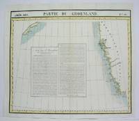
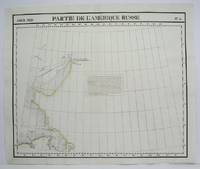
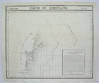
1825réf. M4487Brussels 1825. Excellent. Notes: The first atlas of the world on a uniform scale. If assembled as a globe gores forms a very large globe. Size : 480x563 mm 18.875x22.125 Inches Coloring: Original Outline Coloring Category: Maps Polar Arctic Regions Alaska Greenland Iceland; unknown
1770réf. M10215Paris: Chez le Sr.Danet 1770. Very Good. Notes: Two maps one one sheet. On the left side a map of the Holy Land showing the 12 tribes on the right side a modern map of Holy Land divided into provinces under Turkish authority and rule. Size : 447x715 mm 17.60x28.15 Inches Coloring: Original Hand Coloring Category: Maps Asia Middle East Holy Land & Palestine; Chez le Sr.Danet unknown
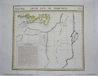
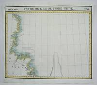
1825réf. M4527Brussels 1825. Very Good minor worming to the lower portion of the map on along the central fold proficiently repaired. Notes: The first atlas of the world on a uniform scale. If assembled as a globe gores forms a very large globe. This map shows the are of southern Newfoundland and the Grand Banks Size : 470x524 mm 18.5x20.625 Inches Coloring: Original Outline Coloring Category: Maps Canada East Newfoundland unknown
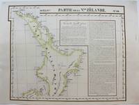
1827réf. M9228Brussels: Philippe Vandermaelen c. 1827. Very Good. Notes: A scarce set of maps one showing the north island and the other the south island of New Zealand from the early 19th century. This is considered to be one of the first maps to show New Zealand as the core focus. They do an excellent job of showing detail by having the names of various places showing geographical features and by keeping that same detail in their portrayal of the numerous smaller islands around New Zealand. To further add to the detailed nature of the map there are extensive notes. Measurement for No. 60 is 495x545mm Size : 483x595 mm 19.02x23.43 Inches Coloring: Original Hand Coloring Reference: Phillips 749; Koeman Vdm 1; National Maritime Museum 179; Wellens-De Donder L. Philippe Vandermaelen 1795-1869 4-5. Category: Maps Pacific; Philippe Vandermaelen unknown
1825réf. M4470Brussels 1825. Very Good minor worming holes along the lower portion of the central fold proficiently repaired. Notes: The first atlas of the world on a uniform scale. If assembled as a globe gores forms a very large globe. Size : 465x566 mm 18.25x22.25 Inches Coloring: Original Outline Coloring Category: Maps United States West States; unknown
1825réf. M4513Brussels 1825. Very Good minor worming on upper and lower portion of the map along the central fold proficiently repaired. Notes: The first atlas of the world on a uniform scale. If assembled as a globe gores forms a very large globe. Size : 464x515 mm 18.25x20.25 Inches Coloring: Original Outline Coloring Category: ; Maps United States West California unknown
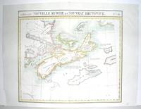
1827réf. M2906Bruxelles 1827. Excellent. Size : 470x530 mm 18.5x20.875 Inches Coloring: Original Outline Coloring Category: ; Maps Canada East Nova Scotia; Maps Canada East Prince Edward Island; Maps Canada East New Brunswick; Maps Canada East Newfoundland unknown
1825réf. M4493Brussels 1825. Excellent. Notes: The first atlas of the world on a uniform scale. If assembled as a globe gores forms a very large globe. Size : 483x579 mm 19x22.75 Inches Coloring: Original Outline Coloring Category: Maps Polar Arctic Regions Alaska Greenland Iceland; unknown
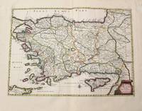
1700réf. M10229Amsterdam: Jean Covens & Corneille Mortier 1700. Very Good. Notes: Detailed map of Turkey showing Cyprus. Size : 381x530 mm 15.00x20.87 Inches Coloring: Original Hand Coloring Category: Maps Asia Near East Turkey; Maps Mediterranean Islands; Jean Covens & Corneille Mortier unknown
1825réf. M4505Brussels 1825. Excellent. Size : 484x580 mm 19x22.875 Inches Coloring: Original Outline Coloring Category: Maps Canada East Newfoundland unknown
1825réf. M4479Brussels 1825. Excellent. Notes: The first atlas of the world on a uniform scale. If assembled as a globe gores forms a very large globe. Size : 475x570 mm 18.75x22.375 Inches Coloring: Original Outline Coloring Category: Maps Canada East Newfoundland unknown
1825réf. M4519Brussels 1825. Very Good minor worming on upper and lower portion of the map along the central fold proficiently repaired. Notes: The first atlas of the world on a uniform scale. If assembled as a globe gores forms a very large globe. Size : 465x520 mm 18.25x20.5 Inches Coloring: Original Outline Coloring Category: Maps Central America Mexico unknown
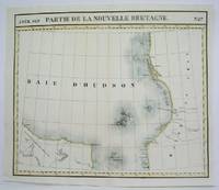
1825réf. M4524Brusseld 1825. Very Good minor worming on upper portion of the map along the central fold proficiently repaired. Notes: The first atlas of the world on a uniform scale. If assembled as a globe gores forms a very large globe. This map shows the western shore of Hudson Bay. Nothern Ontario Size : Coloring: Original Outline Coloring Category: Maps Canada Ontario North unknown
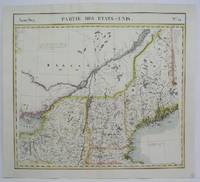
1825réf. M4528Brussels 1825. Very Good. Notes: Detailed mid-19th century map of New England and New York region. The first atlas of the world on a uniform scale. If assembled as a globe gores forms a very large globe. Size : 460x505 mm 18.125x19.875 Inches Coloring: Original Outline Coloring Category: Maps Canada East Quebec;; Maps United States New England unknown
1825réf. M4492Brussels 1825. Excellent. Notes: The first atlas of the world on a uniform scale. If assembled as a globe gores forms a very large globe. Size : 485x580 mm 19.125x22.875 Inches Coloring: Black & White Category: Maps Polar Arctic Regions Alaska Greenland Iceland; unknown
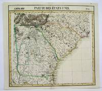
1825réf. M4504Brussels 1825. Very Good minor worming on upper and lower portion of the map along the central fold proficiently repaired. Notes: The first atlas of the world on a uniform scale. If assembled as a globe gores forms a very large globe. Size : 460x495 mm 18.125x19.5 Inches Coloring: Original Outline Coloring Category: Maps United States East Carolinas; Maps United States South States; unknown
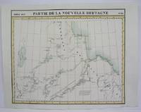
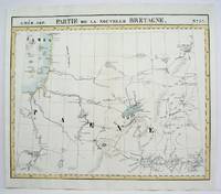
1825réf. M4478Brussels 1825. Excellent. Notes: The first atlas of the world on a uniform scale. If assembled as a globe gores forms a very large globe. This map shows the area from Hudson Bay to Lake Abbitibbe and notes the location of various Native tribes and trade houses. Size : 470x565 mm 18.5x22.25 Inches Coloring: Original Outline Coloring Category: Maps Canada East Quebec unknown
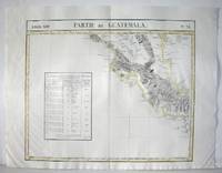
1827réf. M2904Bruselles 1827. Excellent. Size : 464x557 mm 18.25x21.875 Inches Coloring: Original Outline Coloring Category: ; Maps Central America unknown
1710réf. M10246Amsterdam: Jean Covens & Corneille Mortier c.1710. Very Good. Size : 408x527 mm 16.06x20.75 Inches Coloring: Original Hand Coloring Category: Maps Asia Middle East Holy Land & Palestine; Jean Covens & Corneille Mortier unknown
1825réf. M4473Brussels 1825. Excellent. Notes: The first atlas of the world on a uniform scale. If assembled as a globe gores forms a very large globe. Size : 475x552 mm 18.75x21.75 Inches Coloring: Original Hand Coloring Category: Maps Polar Arctic Regions Alaska Greenland Iceland; unknown
1825réf. M4525Brussels 1825. Very Good minor worming on upper and lower portion of the map along the central fold proficiently repaired. Notes: The first atlas of the world on a uniform scale. If assembled as a globe gores forms a very large globe. Size : 460x523 mm 18.125x20.625 Inches Coloring: Original Outline Coloring Category: Maps United States South States; unknown