Vandermaelen, Philippe Marie GuillaumeBiblio.com
47 209 résultats
1825réf. M4496Brussels 1825. Very Good minor woming on upper portion of map not affecting the map proficiently repaired. Notes: The first atlas of the world on a uniform scale. If assembled as a globe gores forms a very large globe. Size : 475x575 mm 18.75x22.625 Inches Coloring: Original Outline Coloring Category: Maps Canada West British Columbia; Maps Canada West Alberta unknown
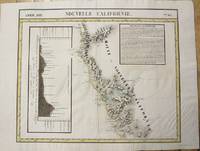
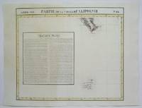
1827réf. M2722Bruxelles 1827. Very Good; several wormholes on the upper and lower parts of the fold. Notes: From Vandermaelen's "Atlas Universel de Geographie Physique Politique Statistique et Mineralogique" Brusseles 1827. Size : 472x572 mm 18.625x22.5 Inches Coloring: Original Outline Coloring Category: Maps United States West California unknown
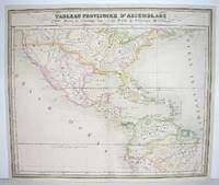
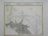
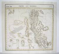
1827réf. M2740Bruxelles 1827. Good; some restoration in lower left corner. Notes: From Vandermaelen's "Atlas Universel de Geographie Physique Politique Statistique et Mineralogique" Brusseles 1827. Size : 478x567 mm 18.75x22.25 Inches Coloring: Original Outline Coloring Category: Maps North America;; Maps Central America unknown
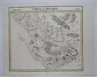
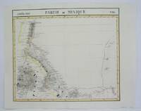
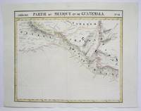
1825réf. M4472Brussels 1825. Excellent. Notes: The first atlas of the world on a uniform scale. If assembled as a globe gores forms a very large globe. Size : 491x583 mm 19.375x23 Inches Coloring: Original Hand Coloring Category: Maps Central America Mexico unknown
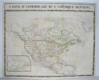
1827réf. M2741Bruxelles 1827. Excellent. Notes: From Vandermaelen's "Atlas Universel de Geographie Physique Politique Statistique et Mineralogique" Brusseles 1827. Size : 495x617 mm 19.5x24.25 Inches Coloring: Original Outline Coloring Category: Maps North America unknown
1827réf. M3736Bruxelles 1827. Very Good. Size : 465x550 mm 18.25x21.625 Inches Coloring: Original Hand Coloring Category: ; Maps Central America unknown
1825réf. M4518Brussels 1825. Very Good minor worming on upper and lower portion of the map along the central fold proficiently repaired. Notes: The first atlas of the world on a uniform scale. If assembled as a globe gores forms a very large globe. Size : 465x540 mm 18.25x21.25 Inches Coloring: Original Outline Coloring Category: Maps Central America Mexico unknown
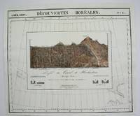
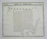
1827réf. M2907Bruxelles 1827. Excellent. Size : 482x565 mm 19x22.25 Inches Coloring: Original Outline Coloring Category: Maps Polar Arctic Regions Alaska Greenland Iceland; unknown
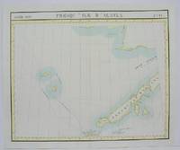
1825réf. M4488Brussels 1825. Excellent. Notes: The first atlas of the world on a uniform scale. If assembled as a globe gores forms a very large globe. Size : 475x570 mm 18.75x22.375 Inches Coloring: Original Outline Coloring Category: Maps Canada East Newfoundland unknown
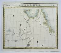
1825réf. M4475Brussels 1825. Excellent. Notes: The first atlas of the world on a uniform scale. If assembled as a globe gores forms a very large globe. Size : 480x575 mm 18.875x22.625 Inches Coloring: Original Outline Coloring Category: Maps Canada North; unknown
1760réf. M7182Paris: Desnos c. 1760. Very Good. Notes: These maps was originally designed by de la Hire 1640-1718 in 1705. Size : 461x461 mm 18.15x18.15 Inches Coloring: Hand Colored Reference: Tooley III:72 Category: Maps Celestial; Desnos unknown
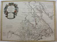
1718réf. M9192Paris c. 1718. Very Good. Notes: Fifth State. Scarce. "De l'Isle's map of Canada is one of the most outstanding maps of Canada of the 17th and early 18th centuries. Typical of all of his work the information that went into his map of Canada was the result of careful and painstaking research. It thus seems somewhat surprising that the dubious discoveries of Lahontan should have been so readily accepted and included on his map of Canada. De l'Isle's careful research resulted in the first map of Canada to present the whole of the Great Lakes correctly. In addition the position of the lakes relative to Hudson Bay is also correct and the Avalon Peninsula is shown much more realistically than in previous maps of Canada. Of considerable significance the geography of the coastal regions of James and Hudson Bays together with their major river systems is presented b De l'Isle with a surprising degree of accuracy."-Kershaw I page 275. Size : 497x645 mm 19.57x25.39 Inches Coloring: Hand Colored Reference: Karpinski p.40 and XXXI Tooley p.20 Kershaw 310 Schwartz pl. 80. Category: Maps Canada; Maps North America Great Lakes; unknown
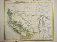
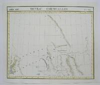
1825réf. M3339Bruxelles 1825. Excellent;. Notes: The first atlas of the world on a uniform scale. If assembled as a globe gores forms a very large globe. The map shows British Columbia and extends as far north and the Straits of Queen Charlotte. The map also notes the location of different Native tribes of the area. Finally this map shows the route that MacKenzie took to the Pacific from the Frasier River. Size : 472x561 mm 18.625x22.125 Inches Coloring: Original Hand Coloring Category: Maps Canada West British Columbia; unknown
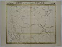
1825réf. M3340Bruxelles 1825. Very Good. Notes: An uncommon map of South Alberta. The map clearly shows the location of Fort Edmonton and other major establishment. From the first atlas of the World on an uniform scale. If assembled as a globe gores forms a very large globe. Size : 470x563 mm 18.5x22.125 Inches Coloring: Hand Colored Category: Maps Canada West Alberta unknown
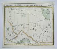
1825réf. M4480Brussels 1825. Excellent. Notes: The first atlas of the world on a uniform scale. If assembled as a globe gores forms a very large globe. This map show the region from Hudson Bay to Lake Superior. Noted in the map are the locations of different French forts and Native tribes. Northwest of Ontario Size : 470x563 mm 18.5x22.125 Inches Coloring: Original Outline Coloring Category: Maps Canada Ontario North; unknown
1827réf. M2724Bruxelles 1827. Good; some worming on the upper and lower parts of the fold wormholes professionally filled. Notes: From Vandermaelen's "Atlas Universel de Geographie Physique Politique Statistique et Mineralogique" Brusseles 1827. Size : 468x490 mm 18.375x19.25 Inches Coloring: Original Outline Coloring Category: Maps United States West States; unknown
1825réf. M4520Brussels 1825. Very Good minor worming on upper and lower portion of the map along the central fold proficiently repaired. Notes: The first atlas of the world on a uniform scale. If assembled as a globe gores forms a very large globe. Size : 460x535 mm 18.125x21 Inches Coloring: Original Outline Coloring Category: Maps Central America Mexico unknown
1825réf. M4474Brussels 1825. Excellent. Notes: The first atlas of the world on a uniform scale. If assembled as a globe gores forms a very large globe. Size : 485x580 mm 19.125x22.875 Inches Coloring: Black & White Category: Maps Polar Arctic Regions Alaska Greenland Iceland; unknown
1825réf. M4514Brussels 1825. Very Good minor worming on upper and lower portion of the map along the central fold proficiently repaired. Notes: The first atlas of the world on a uniform scale. If assembled as a globe gores forms a very large globe. Size : 465x540 mm 18.25x21.25 Inches Coloring: Original Outline Coloring Category: Maps Central America Mexico unknown
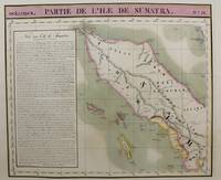
1815réf. M9661Brussels c.1815. Very Good. Notes: Map of the northern half of Sumatra from the early 19th century. The map shows topographical features and has a short history of the island . Philippe Vandermaelen 1795-1869 was an eminent Belgian geographer and cartographer famous for having founded the geographical establishment of Brussels. Size : 480x570 mm 18.90x22.44 Inches Coloring: Hand Colored Category: Maps Asia South East Indonesia & Papua New Guinea; unknown
1827réf. M2720Bruxelles 1827. Very Good; several wormholes on the upper and lower parts of the fold. Notes: From Vandermaelen's "Atlas Universel de Geographie Physique Politique Statistique et Mineralogique" Brusseles 1827. Size : 460x554 mm 18.125x21.75 Inches Coloring: Original Outline Coloring Category: Maps United States West States; unknown
1825réf. M4497Brussels 1825. Very Good minor worming on upper portion of the map not affecting the map proficiently repaired. Notes: The first atlas of the world on a uniform scale. If assembled as a globe gores forms a very large globe. Size : 475x580 mm 18.75x22.875 Inches Coloring: Original Outline Coloring Category: Maps Polar Arctic Regions Alaska Greenland Iceland; unknown
1825réf. M4501Brussels 1825. Good some browning. Notes: The first atlas of the world on a uniform scale. If assembled as a globe gores forms a very large globe. Size : 475x570 mm 18.75x22.375 Inches Coloring: Original Outline Coloring Category: Maps Canada East Newfoundland unknown
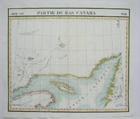
1825réf. M4510Brussels 1825. Excellent. Notes: The first atlas of the world on a uniform scale. If assembled as a globe gores forms a very large globe. This map shows the area of the Gulf of St. Lawrence and the surrounding coastlines such as the district of Gaspe and the west coast of Newfoundland. Size : 480x565 mm 18.875x22.25 Inches Coloring: Original Outline Coloring Category: Maps Canada East Quebec unknown
1825réf. M4521Brussels 1825. Very Good minor worming on upper and lower portion of the map along the central fold proficiently repaired. Notes: The first atlas of the world on a uniform scale. If assembled as a globe gores forms a very large globe. Size : 465x551 mm 18.25x21.625 Inches Coloring: Original Outline Coloring Category: Maps Central America Mexico unknown