Macedonia Cooperative CommunityBiblio.com
612 Ergebnisse
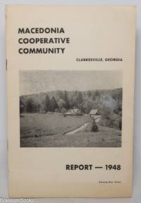
1948Best.-Nr. 153695Glen Gardner NJ: Libertarian Press a workers cooperative 1948. 19 ip. staplebound pamphlet 5.25x8.25 inches; in very good condition. Includes a report their business activities finances etc. Libertarian Press, a workers cooperative unknown
1948Best.-Nr. 153695Glen Gardner NJ: Libertarian Press a workers cooperative 1948. 19 ip. staplebound pamphlet 5.25x8.25 inches; in very good condition. Includes a report their business activities finances etc. Libertarian Press, a workers cooperative unknown books
19648vo., First Edition, with 20 plates on 12, a double-page map in the text and a large folding panorama photograph; black cloth, gilt back, a very good, clean copy in dustwrapper, the latter lightly creased and frayed at edges. Scarce, especially in the dustwrapper. Enser, p.320.
Best.-Nr. Q-0688140653Quill. paperback. New. New. In shrink wrap. Looks like an interesting title! Quill paperback
1978Cloth is torn at bottom base of spine (~1 cm). Minor chipping to cloth at head and heel of spine. ; Acquaints the reader in a scholarly manner, as revealed in documents and other material of Bulgarian and foreign origin, including books and chronicles, newspapers and literature, with the historical fate and development of the Bulgarian population in Macedonia. The volume covers the period from the arrival of the Slavs and proto-Bulgars in the Balkan penisula, leading to the formation of the Slav-Bulgarian state in 681, and of the Bulgarian nationality (Slav in essence and Bulgarian in name) towards the end of the 9th century, up to 1940 ie. Until the beginning of the Second World War in the Balkans.
2009Historia - Einzelschriften 184; 254 pages; In 224 BC, under the hegemony of the King of Macedon, Antigonos Doson, Greek states joined together to form a symmachy that held strong until the second Macedonian war. In the center of this study on this Hellenistic group are questions on its formation and role, the role of Macedonia, the differing interests of its members, and of the eventual cause of its failure. The results shed new light on the composition, structure, and functioning of this federation. German text.
1993Best.-Nr. 136748Ekdotike Athenon 1993 In-4 cartonnage plein étoile noir, titre doré, 31 cm sur 24,7. 254 pages. Page de garde avec tampon “Donated”. Jaquette en mauvais état. État correct d’occasion.
Best.-Nr. 1947707809.Ghardcover. Good. Access codes and supplements are not guaranteed with used items. May be an ex-library book. hardcover
1993Best.-Nr. Q-0688120962William Morrow & Co 1993-11-01. Hardcover. New. In shrink wrap. Looks like an interesting title! William Morrow & Co hardcover
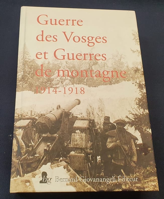
2016Best.-Nr. LRB542Giovanangeli 2016 In4 ( 25 x 17 cm ) - cartonnage de l'éditeur - 507 pages - cahier photographique hors texte
2016Best.-Nr. LRB542Giovanangeli 2016 In4 ( 25 x 17 cm ) - cartonnage de l'éditeur - 507 pages - cahier photographique hors texte
1906Best.-Nr. GITc047Paris Plon 1906. In-8 broché XXII 326pp. Orné d'une grande carte dépliante. Exemplaire bien complet de sa carte.
1650Best.-Nr. 27240Paris Mathieu Guillemot 1650 Une gravure sur cuivre au burin en noir sur papier vergé, ligné, gravée d'après les originaux de l'édition de NICOLAY de 1568, Format à la cuvette : 27,3 centimètres de haut par 17,3 centimètres de large. Format total : 32,8 centimètres de haut par 21,3 centimètres de large, tirée de "L'histoire de la décadence de l'empire grec et établissement de celuy des Turcs" de Laonikos Chalcocondyle, par Thomas Artus d'Embry, d'après Nicolas de Nicolay, léger manque de papier en marge en bas à gauche ne touchant à aucun moment la gravure, 1650 Paris, Mathieu Guillemot Editeur,
Best.-Nr. 3x60Macedonia Cigaretten Comp. Dresden 1933. 38 unpagenierte kart. Seiten mit 150 aufgezogenen Bildern Bild 148 fehlt u. 1 gefalt. Karte. kart. quart. Album III: Spreewald unknown
1878Very Good German Original color map on cloth. A little foxing on cloth. Very good. Folded. Oblong folio. (45 x 51 cm). In German. [MAP of WEST GREECE] L.15. Philiataes (Corfu). Jonisches Meer. Scale: 1/300.000. A sheet of the collection of 'The general map of Central Europe'. appeared in the years between 1873-1876 with the work of Joseph Ritter von Scheda, (1815-1888) who was a general, geographer and cartographer.
1876Very Good German Original color map on cloth. Oblong atlas folio. (46 x 52 cm). Toponyms in German. [MAP of BALKANS] J.10. Glina and around. North Bosnia and Herzegovina sheet. A sheet of the collection of 'The general map of Central Europe'. appeared in the years between 1873-1876 with the work of Joseph Ritter von Scheda, (1815-1888) who was a general, geographer and cartographer.
1876Very Good German Original color map on cloth. Oblong atlas folio. (46 x 52 cm). Toponyms in German. [MAP of OTTOMAN BALKANS] L.14. Berat. Shows South Albanian shores, Corfu, Berat et alli. Lithography. (Argyrokastro). A sheet of the collection of 'The general map of Central Europe'. appeared in the years between 1873-1876 with the work of Joseph Ritter von Scheda, (1815-1888) who was a general, geographer and cartographer.
1970Bound in gilt-stamped maroon cloth. Scholar's name to ffep (E. Badian). Corners bumped. Some shelfwear. ; Printed on one side only. Dissertation. ; Diss. ; 195 pages
1970Bound in gilt-stamped maroon cloth. Minor shelfwear. Typed script. ; Printed on one side only. Dissertation. ; Diss. ; 195 pages
1825Very Good French Original engraved b/w map. Folded. A little foxing. Otherwise very good and clean copy. Folio. (40 x 27 cm). In French. From 'Voyage Egypte et en Syrie.; pendant les années 1783, 1784 et 1785, suivi de considérations sur la guerre des russes et des turks, publiées en 1788 et 1789, Vol. 1 (Egypt chapter). At north, Mer Mediterranee, Syrie,, Alexandrie, Delta, et alli. Also shows Desert d'Arabie, Desert d'Afrique; with El Tih ou Desert de l'Egarement, Bahr ou Mer de Qolzoumm, Mer Rouge, Ancien Thebes, et alli.
1914Good Turkish, Ottoman (1500-1928) Original color map. Folded. Tears in margins. Slightly stained. Otherwise a good copy. Oblong atlas folio. (50 x 60 cm). In Ottoman script. [MAP of EAST BLACK SEA] Artvin, Rize, Oltu. Shows Artvin and Georgian borders, Rize (Rizeon - Rizunda - Rizini) and Oltu cities and regions. Scale: 1/200.000. Hegira: 1330 = Gregorian: 1914. This is one the serie of the Bonn projection maps which are the first map series in modern techniques in Turkey and the Ottoman Empire. In order to produce these maps covering Turkish territory, Reconnaissance Branch was incorporated into The Mapping Commission. The maps were produced in the datum based on the latitude and longitude of Ayasofya Mosque in equal area Bonn Projection. The field works for the 123 sheets covering the country were conducted by 76 staff. The production was completed in 18 years starting from east west. Field works continued without stopping except in years 1914 and 1920. This map series called also reconnaissance maps contributed a lot to producing 1:25.000 scale maps. Not description on map-maker. Extremely rare.
Best.-Nr. 3486588184.Ghardcover. Good. Access codes and supplements are not guaranteed with used items. May be an ex-library book. hardcover
1902Outside dimensions 14.5" x 10.5". Circa 1902. Centerfold. Light wear. Please see our photo for details. Book
2002Best.-Nr. 16393Paris Association du Salon D'Automne 2002 1 Un très fort volume broché de format in 8° de 504 pp. sur papier couché; entièrement illustré; couverture à rabats. Artistes de Macédine; Serbie; Taïwan; artistes Chinois; Coréens... Peinture. Sculpture. Photographie. Gravure. Mobilier. Arts Décoratifs. Mosaïque; plusieurs centaines de reproductions d'oeuvres en couleurs le plus souvent.