610 Ergebnisse
1914In 8, pp. 319 + (1b) con molte foto in b/n n.t. D. rifatto. Br. ed.
Best.-Nr. 52063Collection de l’Institut français d’Athènes,1988
Best.-Nr. 198076Paris, Rivière et Cie, 1938 in-8, 339 pp., broché.
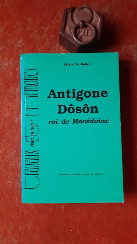
Best.-Nr. QWA-21240Nancy, Presses Universitaires de Nancy, 1993, in-8 br. (16 x 24), 525 p., coll. "Travaux et Mémoires / Etudes anciennes", 6 planches h.-t. in-fine, cartes et plans, très bon état.
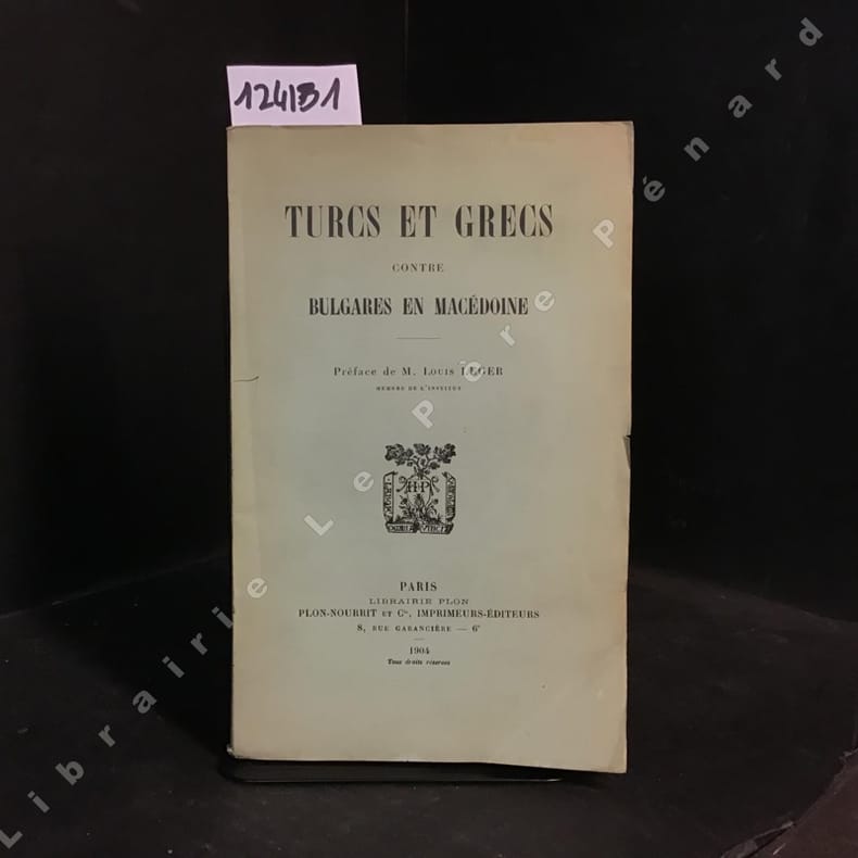
1904Best.-Nr. 1241311904 Librairie Plon, Plon-Nourrit et Cie, Imprimeurs-Editeurs, Paris - 1904 - In-8, broché, couverture illustrée - V + 57 pages
1914Best.-Nr. 101593P., Chapelot, 1914, in-12, viii-268 pp, 35 pl. de photos hors texte, 7 croquis, 2 cartes dépliantes hors texte in fine, reliure demi-basane noire, dos à 4 nerfs pointillés, titres et doubles filets dorés (rel. de l'époque), bon état. Rare
1574Carta della Penisola Balcanica con parte della Turchia e Macedonia. Inserita nell'opera "La Geografia di Claudio Tolomeo alessandrino, già tradotta di greco in italiano da M. Giero. Ruscelli: & hora in questa nuoua editione da M. Gio. Malombra ricorretta, & purgata d'infiniti errori: ... Con l'Espositioni del Ruscelli, ... Con una copiosa tauola de' nomi antichi, dichiarati co' nomi moderni: dal Malombra riueduta, & ampliata. Et con un Discorso di M. Gioseppe Moleto, .. "
Best.-Nr. 8886Berlin, Ernst Wasmuth, Editeur, 1926. 1 fort volume in-4, reliure pleine toile, 34 pp. de texte et 96 planches en couleurs avec texte explicatif, très bon état.
1904Best.-Nr. 754371904 Paris, Juven, sans date (1904), in 8° relié demi-percaline rouge, dos liss orné, 208 pages.
1992Light discoloration to DJ spine. ; 224 pages; Philip II of Macedon is a unique compilation of fragments of ancient writings, epitomies, and passages from the orators that together form a contemporary biography of one of the most influential figures of the ancient world. Alfred Bradford has collected, translated, and integrated all the significant classical writings about Philip II, the father of Alexander the Great, and he presents them in a readable and lively manner, telling the story of Philip from his precarious childhood, when his life was threatened by his own mother, to his bloody death, when he was murdered by a bodyguard. The book includes useful maps, as well as illustrations based on ancient artifacts.
1976Minor edgewear to DJ with light chipping to DJ upper corners. One corner is bumped. Gift inscription from author to ffep. Very light shelfwear to book. ; A study in depth of the rise to power of Macedon under the astute leadership of Philip II, whose diplomatic adroitness and military skill paved the way for the career of his son and heir, Alexander the Great. ; Aspects of Greek and Roman life; 312 pages; Signed by Author
1997Dustjacket has very minor shelfwear. ; 0.5 x 8.69 x 5.55 Inches; 88 pages; Blunt, honest and tenacious, Antigonus II Gonatas assumed the title King of Macedonia in 283 BC and reigned for more than forty years. Pragmatic and occasionally ruthless, he was a well-educated man with a keen interest in philosophy. He gathered about him poets, philosophers and historians; his long reign, despite vicissitudes, re-established Macedonia as a nation. Janice J. Gabbert portrays the eventful life of this enigmatic king in a lively and engaging manner. Her aim is to trace the political career of a man about whose life almost no official records survive. Taking into account the most recent epigraphical evidence, the author brings to life a fascinating political figure. This is the first study entirely devoted to Antigonus for over eighty years.
2011New English Paperback. Pbo. Roy. 8vo. (24 x 17 cm). In English. 2 volumes set: (616 p.; 502 p.). Ottoman diplomatic documents on the origins of World War One IV: The Macedonian issue 1879-1912. 2 volumes set.
191617 cm, br. edit, stemma al piatto; pp. xii, 482; alcune tab. una carta geografica a col. più volte ripiegata
1908Very Good German Original color map on cloth. A little foxing on cloth. Very good. Folded. Folio. (51 x 46 cm). In German with Greek place names in Latin script. [MAP of TURKISH BALKANS] Phthiotis, Canal Atalanti, I. Euboea (Evvia, Evripos, Negroponte, Golf v. Volo (Pagasetikos), Skiathos, Skopelos (Peparethos), Chiliodromia (Ikos), Magnesia, Cholkis. (Longitude given from Paris). Scarce.
1994Very Good English Paperback. 4to. (29 x 21 cm). In English and Macedonian. [2], [iv], 252, [2] p. Introduction.; Public libraries.; Special libraries.; University libraries.; School libraries.; Index of public librarses and libraries according to places.; Name index of libraries. Second Edition.
1913Very Good Turkish, Ottoman (1500-1928) Original color map on cloth. Folded. Wrinkled on paper. Stains on cloth. 12 sheets on paper. Oblong atlas folio. (50 x 60 cm). In Ottoman script.[MAP of ALEXANDRETTA] Iskenderun - Tayakadin. It shows villages and settlements in Tayakadin of Iskenderiye. Scale: 1/25.000. Hegira: 1329 = Gregorian: 1913. This is one the serie of the Bonn projection maps which are the first map series in modern techniques in Turkey and the Ottoman Empire. In order to produce these maps covering Turkish territory, Reconnaissance Branch was incorporated into The Mapping Commission. The maps were produced in the datum based on the latitude and longitude of Ayasofya Mosque in equal area Bonn Projection. The field works for the 123 sheets covering the country were conducted by 76 staff. The production was completed in 18 years starting from east west. Field works continued without stopping except in years 1914 and 1920. This map series called also reconnaissance maps contributed a lot to producing 1:25.000 scale maps. Not description on map-maker. A very detailed map. Extremely rare.
1920Very Good Turkish, Ottoman (1500-1928) Original color map of Erzurum city center and it environment. Folded. 69x42,5 cm. In Ottoman script. One sheet. Shows center of Erzurum city and topography environment. No scale info. Hegira: 1336 = Gregorian: 1920. Not description on map-maker. This is one the serie of the Bonn projection maps which are the first map series in modern techniques in Turkey and the Ottoman Empire. In order to produce these maps covering Turkish territory, Reconnaissance Branch was incorporated into The Mapping Commission. The maps were produced in the datum based on the latitude and longitude of Ayasofya Mosque in equal area Bonn Projection. The field works for the 123 sheets covering the country were conducted by 76 staff. The production was completed in 18 years starting from east west. Field works continued without stopping except in years 1914 and 1920. This map series called also reconnaissance maps contributed a lot to producing 1:25.000 scale maps. Extremely rare.
1955Very Good Turkish Original manuscript map on cloth. Chipped margins, stains on cloth. Folded. Oblong folio. (32x35 cm) In modern Turkish. Sealed. It shows the exploration of an area of ??1487 hectares and some stone and brick mosques, fountains, buildings and geographic status of the region in the upper corner. Scale: 1:25.000. Extremely rare.
1963Laminate lifting from DJ in places along spine. DJ has chipping to spine ends. DJ is price-clipped. Scholar's name to ffep. ; 64 pp of collotype plates, 12 colour photographs on 8 photogravure plates, three folding maps at rear, includes almost 300 photographs taken by the author plus numerous in-text illustrations; 4to 11" - 13" tall; 263 pages
1996Book shows light shelf wear to covers. Text/interior is clean and free of marking of any kind. 168 pages with b&w photos, color photo section at back. Contents include Ritual dances, in five sections: Rougatsdria or Rogatsaria, Carnival or Apokries, Anasteenaria or fire-dancing, Lazarines, Tzamala, Regional Dances and Style: Cyclades Dodecanese islands, Sporades, Ionian Islands, Saronic Islands, Norther and Central Aegean, Crete Mainland Dances and Style : Peloponnesos, Attki, Roumeli, Thessaly, Epiros, Macedonia, W. & E. Trace; Vlachs, Arvanites, Sarakatsans: Vlachs, Albanians, Sarakatsans & Asia Minor : Pontos, Cappadocia, Constantinople & Coastal regions et al.
Best.-Nr. 2661Paris, Fontemoing - E. de Boccard, brochés, 16,5x25,5 cm, Tome 1 (2vol) : 496 pages, 1ère partie : JAVAN (jusqu'en 480) 1917 - 2ème partie : JAVAN : L'Orient et les Grecs, 1919, (rousseurs), 1 carte dépliante - tome 2 : ATHENES (480-330), 1913, 512 pages, 1 carte dépliante en couleurs (rousseurs sur couverture) - tome 3 : LA MACEDOINE, CARTHAGE ET ROME (330-107) 1914, 486 pages, 1 carte dépliante en couleurs (quelques rousseurs) - Index général : 1920, 110 pages. (poids : 4,2 kgs)
1988Best.-Nr. 176861988. Athènes Institut Français 1988 2ème ed. - 2 volumes brochés 17 cm x 24 cm XXVI+ 682 pages 1 carte dépliante hors-texte - Texte de Jean N. Kalleris importante bibliographie abr. techniques sources index toponymie - Etat neuf ; le tome III annoncé n'est jamais paru