979 risultati
1925rif. 3836865387GLN-7, Spes 1925
1925rif. 3836865402GLN-7, Spes 1925
1925rif. 3836865404GLN-7, Spes 1925
1925rif. 3836865407GLN-7, Spes 1925
1925rif. 3836865412GLN-7, Spes 1925
1925rif. R240114103SPES. 1925. In-12. Broché. Etat d'usage, Couv. légèrement pliée, Coiffe en pied abîmée, Intérieur frais. 256 pages - annotation à l'encre en page de faux-titre. . . . Classification Dewey : 210-Philosophie et théorie
1683rif. LBW-6981683 197 x 269 mm.
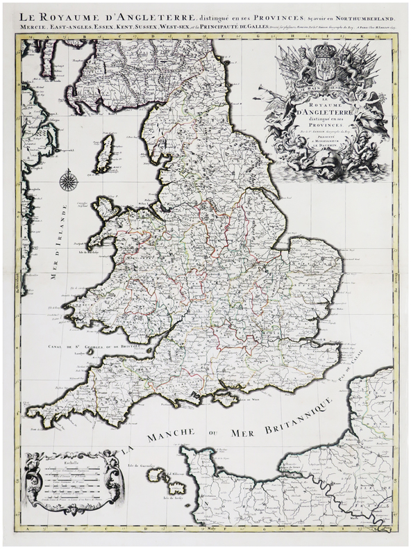
1693rif. LBW-6390Paris, H. Jaillot, 1693. En deux feuilles jointes formant une carte de 785 x 584 mm.
1926rif. RO40182038Spes. 1926. In-12. Broché. Etat d'usage, 1er plat abîmé, Dos abîmé, Intérieur acceptable. 256 pages. Couverture se détachant. Tampon de bibliothèque et vignette illustrée (portrait) collée en page de garde.. . . . Classification Dewey : 248-Vie chrétienne et méditations
1925rif. RO40219307Spes. 1925. In-12. Broché. Etat d'usage, Tâchée, Coiffe en tête abîmée, Intérieur acceptable. 278 pages. Rousseurs sur les plats.. . . . Classification Dewey : 248-Vie chrétienne et méditations
1867rif. RO30145676LECOFFRE FILS ET CIE. 1867. In-12. Broché. Etat d'usage, Couv. convenable, Mors fendus, Quelques rousseurs. 460 pages -. . . . Classification Dewey : 200-RELIGION
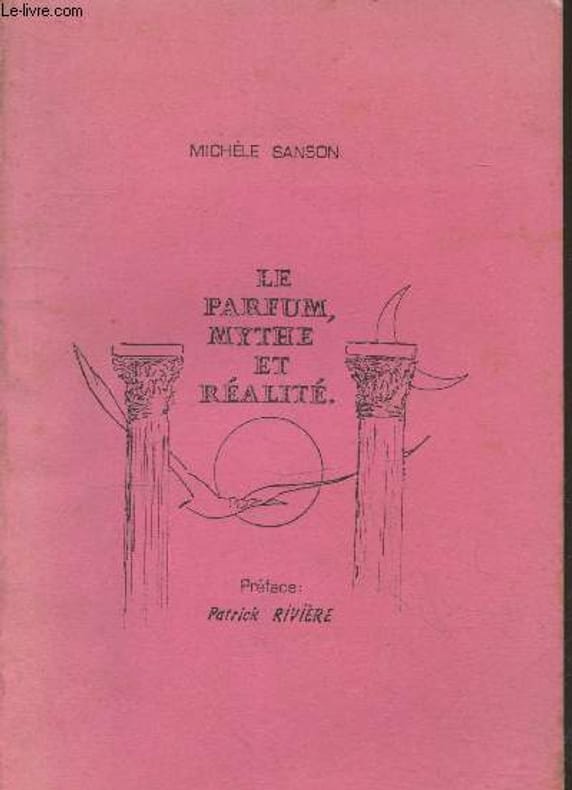
rif. RO20240356A compte d'auteur. Non daté. In-8. Broché. Bon état, Couv. convenable, Dos fané, Intérieur frais. 52 pages. Quelques illustrations en noir et blanc hors texte. Texte tapuscrit.. . . . Classification Dewey : 646.72-Soins de beauté
1652rif. YRG-392Carte géographique originale réalisée par Sanson d’Abbeville et gravée à la cuve par R. Cordier, (57,5 x 43,5 cm). Rehaussée de couleur, d'époque.
1860rif. 23500Paris Bureaux de la Science Pittoresque et Bureaux de la Culture 1860 -in-12 demi-chagrin un volume, reliure demi-chagrin chocolat in-douze (binding half shagreen in-12)(20 x 13 cm), dos à nerfs (spine with raised bands) décoré "or" et à froid (gilt and blind stamping decoration), titre et auteur frappés "or" (gilt title), filet à froid de part et d'autre des nerfs et en tête et en pied, papier marbré marron et jaune aux plats (cover with marbled paper), toute tranches lisses, marque-page en tissu (bookmark in tissue), orné d'une gravure in-texte en noir + une figure de notation musicale in-texte en noir, 84 pages, 1860 Paris Bureaux de la Science Pittoresque et Bureaux de la Culture Editeurs,
1843rif. R100686Paris, Gustave Martin 1843 vi + 480pp., 18cm., reliure cart. (dos en cuir avec titre et décorations dorées, plats marbrés), feuilles de garde marbrées, rousseurs (mais le texte est toujours bien lisible), R100686
rif. 118019aafParis, 1652, carte gravée sur cuivre, coloriée d’époque, 1 feuille. (31x38 cm).
1842rif. 42435Gustave Martin 1842 In-12, plein-maroquin violine, dos lisse, filets bruns, dentelles dorées, dentelles d’encadrement des plats, VI- 348 pp. Infimes frottements. Très bon exemplaire.
1698rif. 6697Amsterdam, Pierre Mortier, sans date [circa 1698]. In-8 broché de [titre gravé]-[2]-23-[1]p., 35 cartes, 1 pl., 40-8p. couverture de papier marbré du temps, étiquette manuscrite au dos. Coins légèrement arrondis, petits manque de papier au second mors.
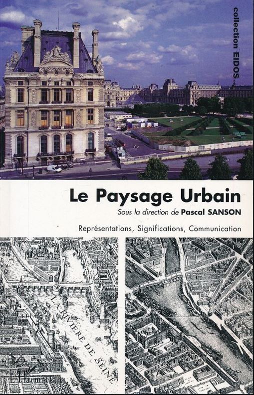
2013rif. 154364L'Harmattan L'Harmattan, 2013. Grand in-8 broché de 367 pages. Rares passages soulignés au crayon de papier. Très bon état
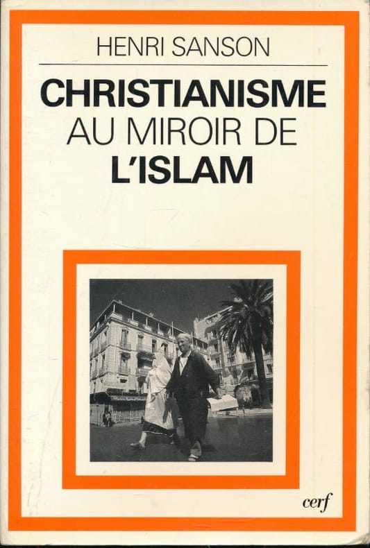
1984rif. 176059Cerf Cerf, 1984. In-8 broché de 195 pages. Bon état.
1953rif. 49751953 Les Travaux et les Jours, Paris, Presses Universitaires de France, 1953,1 Volume broché, 193 x 144 mm. 144 pp. 20 Figures dans et hors texte. Comme neuf.
1693rif. 17230Paris: Hubert Jaillot. 1693. Other. In excellent condition. Minor offsetting of the old outline colors to the paper. 465 by 610mm 18 by 24 inches. 465 by 610mm 18 by 24 inches. Copper Engraving color by Jaillot Alexis-Hubert & Sanson N published 1693 by Hubert Jaillot Paris. Image size: 465 by 610mm 18 by 24 inches. By Jaillot after Sanson a landmark of late 17th-century French cartography of North America. Alexis-Hubert Jaillot c.16321712 was one of the most important French cartographers and map publishers of the late 17th century. He collaborated with the pioneering geographer Nicolas Sanson 16001667 and his sons to produce finely engraved large-format maps of the world's regions publishing in Paris from 1670 onwards. Jaillot's maps are distinguished by their impressive scale rich baroque cartouches and the high quality of their engraving. His map of Canada and New France 1693 is a landmark document of 17th-century French geographical knowledge of North America reflecting decades of French colonial exploration and mission activity in the St. Lawrence and Great Lakes regions.Large and decorative map of Canada by the French cartographer Nicolaus Sanson and Hubert Jaillot. Published in the 'Atlas Noveau.' this atlas was a masterpiece in the French cartography in the 17th century. The atlas was specially designed for Louis XIV and due of the very large size of the plates most maps were printed from two plates it took Hubert Jaillot over 12 years to complete the 'Atlas Noveau.'. Canada is very detailled shown on the map as well Labrador Terra Neuf & Nouvelle France are shown in engraved territory borders. The map is rich in detail with many cities and place names rivers lakes mountains bays etc. In excellent condition. Minor offsetting of the old outline colors to the paper. Hubert Jaillot. unknown
1700rif. M11077Paris 1700. Excellent. Notes: Second state. Published in Description De Tout L'Universe-Halma. An excellent example of Nicolas Sanson's map of Canada and the Great Lakes Lake Superior and Lake Michigan Lac du Puans are shown open-ended. Engraved in the bottom-right corner outside the neat-line is "A.d.Winter Schulp". Additions include a latitude and longitude grid; mountains and trees filling in the blank areas east of James Bay and in northern Labrador; and the three latitude and longitude values that were previously missing in three of the corners on the border. Size : 207x308 mm 8.15x12.13 Inches Coloring: Black & White Reference: Burden #575; Kershaw #137 Plate 85 Category: Maps Canada East; Maps North America Great Lakes; unknown
1675rif. 33301Paris: Hubert Jaillot 1675. Blatt gebräunt Mittelfalz mit nicht säurebeständigem Tape hinterlegt heller Streifen. . 803 by 560mm 31 by 22 inches. Hand-Colored Original Copperplate Engraving by Alexis-Hubert Jaillot & N. Sanson depicting Le Cercle de Souabe subdivisé en tous les Estats qui le Composent Tire ´sur les Memoires les plus noueaux Par le S. Sanson Geographe Ordinaire du Roy. A Paris Ches H. Laillot joingnant les Augustins aux deux Globes Auec Priuilege du Roy pour Vingt Ans. Published Paris Hubert Jaillot 1675. Sheet: 803 by 560mm 31 by 22 inches. A fine and original hand-colored example of Jaillot's celebrated cartographic work documenting this region of Germany with the precision and decorative artistry characteristic of the 16700s. Alexis-Hubert Jaillot c.1632-1712 was one of the foremost French cartographers of the late 17th and early 18th centuries. Working in Paris he produced magnificent large-format maps of European territories often in collaboration with Nicolas Sanson -- considered the father of French cartography. Jaillot's maps are known for their striking decorative cartouches generous size and fine hand coloring representing the pinnacle of French Baroque cartography.This original copperplate engraving with original hand coloring depicts the region of Le Cercle de Souabe subdivisé en tous les Estats qui le Composent Tire ´sur les Memoires les plus noueaux Par le S. Sanson Geographe Ordinaire du Roy. A Paris Ches H. Laillot joingnant les Augustins aux deux Globes Auec Priuilege du Roy pour Vingt Ans. published in Paris Hubert Jaillot 1675. The map records the political and geographic boundaries of the region as understood in 1675 offering a fascinating window into the history of German territorial organization. Sheet measures 803 by 560mm 31 by 22 inches. In good condition overall with minor signs of age appropriate for a 17th-century engraving. Ready to frame. Hubert Jaillot unknown