SansonBiblio.com
980 risultati
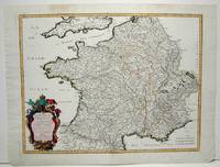
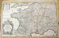
1690rif. M10380Paris: H. Jaillot c.1690. Very Good backed on acid free tissue paper for long term preservation. Notes: Large and detailed map of France with a large decorative cartouche in the lower left two sheets joined. Size : 565x896 mm 22.24x35.28 Inches Coloring: Original Outline Coloring Category: Maps Europe France; H. Jaillot unknown
rif. 117739Paris H. Jaillot 1692 but 1696. . Large two-sheet engraved map of Ireland with extremely fine original hand colouring heightened with gold; sheet size: 945 x 628 mm.; left margin cropped into the scale some minor offset and reinforcement to fold on verso; framed & glazed: 1000 x 710 mm. One of the best large format maps of Ireland issued in the late 17th early 18th century. The map shows towns counties mountains islands and a host of other fine details. The title cartouche is impressive with the coat of arms all in stunning full original colour delicately heightened in gold. Based upon the geographical compilations and work of Nicolas Sanson which remained unpublished at the time of his death. In 1674 Jaillot conceived of the re-issue of Sanson's major work published and unpublished in an enlarged format. The maps were issued as early as 1674 and were later jointly issued by Sanson and Mortier in Amsterdam. Paris, H. Jaillot, 1692 [but 1696]. unknown
rif. 117736Paris H. Jaillot 1693 but 1696. . Large two-sheet engraved map of Scotland with extremely fine original hand colouring heightened with gold; sheet size: 945 x 628 mm some minor offset; framed & glazed: 1000 x 710 mm. One of the best large format maps of Scotland issued in the late 17th early 18th century. The map shows towns counties mountains islands and a host of other fine details. The title cartouche is impressive with the coat of arms all in stunning full original colour delicately heightened in gold. Based upon the geographical compilations and work of Nicolas Sanson which remained unpublished at the time of his death. In 1674 Jaillot conceived of the re-issue of Sanson's major work published and unpublished in an enlarged format. The maps were issued as early as 1674 and were later jointly issued by Sanson and Mortier in Amsterdam. Paris, H. Jaillot, 1693 [but 1696]. unknown
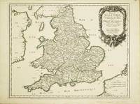
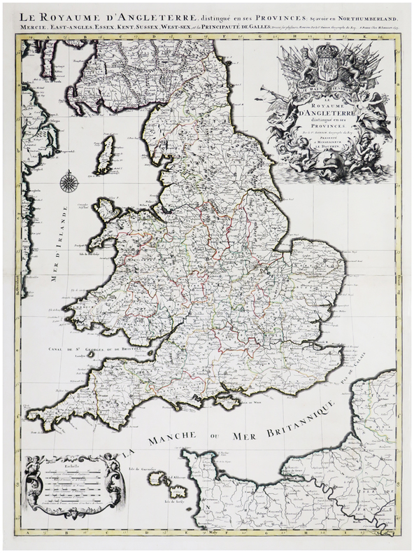
rif. 10525Paris: 1665. No binding. Very Good. 400 x 510 mm. superb early outline colour very good condition. A FIRST STATE example of an ornate map of England and Wales first published in Nicolas Sanson's 'Les Cartes Generales de Toutes les Parties du Monde' in 1665. Sanson 1600-67 was France's premier cartographer and helped to lift the field onto another level during his career. In 1665 two folio maps were issued one of the British Isles and this of England and Wales. The map outlines the modern counties along with the traditional Anglo-Saxon heptarchy which are here outlined in colour. With an attractive cartouche upper right. The cartography is derived from that of John Speed Willem Blaeu and Johannes Jansson. This is an example of the first state dated 1665 according to Shirley however since then two further states dated similarly have been identified. This example remains the first state. Provenance Doreen Green 2003. Pastoureau M. Sanson V B 117; Shirley R.W. Sanson 3.1. 1665 unknown
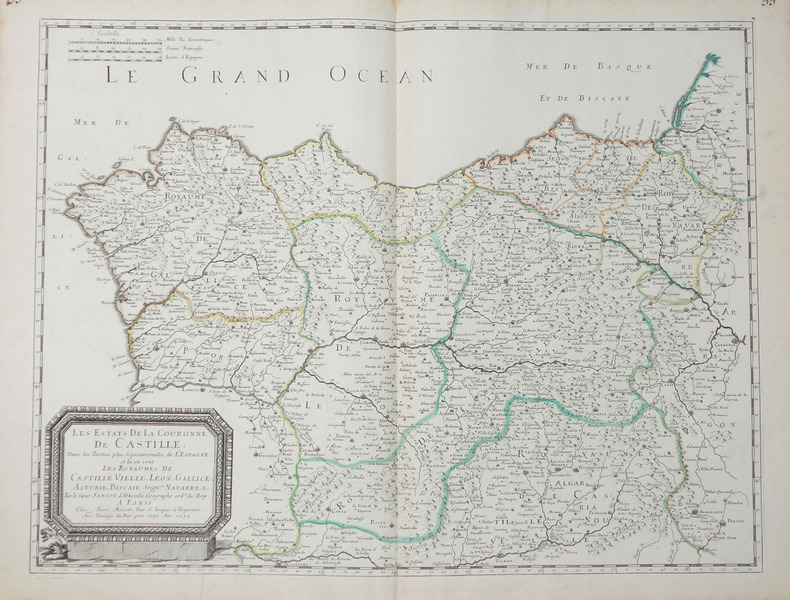
1665rif. M1736Paris: Mariette Pierre 1665. Excellent; some light browning on upper margin. Size : 410x535 mm 16.125x21 Inches Coloring: Original Hand Coloring Category: ; Maps Europe France Mariette, Pierre unknown
1700rif. 104160Copper engraved map double page 24" x 20" hand colored and large uncolored title cartouches. Some minor soiling a little wear along centerfold with old verso repair normal aging; very good. Samson 1600-1667 is often referred to as the father of French cartography. Louis XIII was impressed with his work and appointed him "Geographe Ordinaire du Roi". During his career Sanson would produce about 300 maps and his major atlas "Cartes Generales de Toutes les Parties du Monde" would represent an important part of his body of work. While two of his sons continued publication of his maps after his death Pieter Schenk 1655-1718 an important publisher and engraver in his own right published this map. The map is attractively colored and gives a detailed view of the provinces of France. The map is also decorated with a large title cartouche. Bagrow p. 185. map hist website.
1693rif. LBW-6390Paris, H. Jaillot, 1693. En deux feuilles jointes formant une carte de 785 x 584 mm.
1700rif. 104160Copper engraved map double page 24" x 20" hand colored and large uncolored title cartouches. Some minor soiling a little wear along centerfold with old verso repair normal aging; very good. Samson 1600-1667 is often referred to as the father of French cartography. Louis XIII was impressed with his work and appointed him "Geographe Ordinaire du Roi". During his career Sanson would produce about 300 maps and his major atlas "Cartes Generales de Toutes les Parties du Monde" would represent an important part of his body of work. While two of his sons continued publication of his maps after his death Pieter Schenk 1655-1718 an important publisher and engraver in his own right published this map. The map is attractively colored and gives a detailed view of the provinces of France. The map is also decorated with a large title cartouche. Bagrow p. 185. map hist website. books
1692rif. 31056(Paris/Amsterdam), Hubert Jaillot, 1692. 58,5x88,5 cm. Kobberstukket Danmarkskort med Nordtyskland, Skåne, Halland og Blekinge i fuld håndkolorering med 2 store barok-kartoucher (titelkartouche & målestokskartouche). Lille revnedannelse i foldningen øverst og nederst. nederste bladkant repareret uden tab. På kraftigt papir sammensat af to pladetryk.
rif. BN105048STE ECRIVAINS. Softcover. Le rêve de lumière Le rêve de lumière STE ECRIVAINS paperback
2005rif. X-343-635STE ECRIVAINS 2005. Paperback. Good. Former library book. Different cover. Ammareal gives back up to 15% of this item's net price to charity organizations. STE ECRIVAINS paperback
1953rif. 49751953 Les Travaux et les Jours, Paris, Presses Universitaires de France, 1953,1 Volume broché, 193 x 144 mm. 144 pp. 20 Figures dans et hors texte. Comme neuf.
1698rif. 6697Amsterdam, Pierre Mortier, sans date [circa 1698]. In-8 broché de [titre gravé]-[2]-23-[1]p., 35 cartes, 1 pl., 40-8p. couverture de papier marbré du temps, étiquette manuscrite au dos. Coins légèrement arrondis, petits manque de papier au second mors.
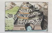
1690rif. M9478Paris c.1690. Very Good. Notes: A charming map of Lepanto Greece during the late 17th century. Size : 105x153 mm 4.13x6.02 Inches Coloring: Hand Colored Category: Maps Europe Greece Macedonia; unknown
rif. 3992Grenoble chez philippes, 1665, 1 pleine basane d'époque, coiffes manquantes, plats et dos frottés. in-12, frontispice, titre, 31 ff.n.c., 137 pp., 1 ff. blanc, 388 pp. + 32 pp. de table ;
rif. 118542aaf1648, 44x56 cm, carte géographique gravée sur cuivre, légèrement coloriée aux frontières (vert claire et jaune), 1 feuille pliée en 2.
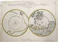
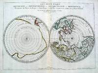
1657rif. M954Paris 1657. Very Good; some occasional mild browning. Notes: 17th century French map of Arctic and Antarctic regions. It was published in Cartes générales de toutes les parties du monde. Nicolas Sanson 1600–1667 was a renowned French cartographer termed by some as the "father of French cartography." His works are known for their incorporation of the most up to date information of the time and their clean modern style. Size : 390x537 mm 15.375x21.125 Inches Coloring: Hand Colored in outline Category: ; Maps Polar Arctic Regions; Maps Polar Antarctic Regions unknown
1657rif. 5033Paris 1657. Par N. Sanson d'Abbeville Geographe ordre du Roy. Spence 3017 lists a slightly different title but undoubtedly the same map. 53x38 cms. Period outline color central fold very good condition. A double hemisphere map to the North and South poles. The North pole is connected to Greenland and Spitzbergen but there is little other detailed coastline in the polar area. Europe Russia and Canada are delineated. The South pole is based on the great unknown Southland of Magellan. The tip of S. America is shown and a large land mass which encompasses the whole of the hemisphere but nothing else. unknown
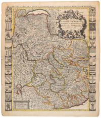
1710rif. 009139Amsterdam: Pierre Mortier 1710 Cooper engraving 58.0 x 50.5 cm on paper measuring 63.0 x 54.0 cm with original color in outline minor spotting and creasing remnants of centerfold paper slightly frayed at edges. A good copy of an uncommon map of Savoy and Piedmont published in Amsterdam by Pierre Mortier to illustrate events of the War of the Spanish Succession. Surrounded by twenty-two coats of arms representing various provinces. Pierre Mortier unknown
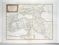
1660rif. M2926Paris: Mariette Pierre 1660. Very Good; some browning on the lower margin near the fold. Size : 407x517 mm 16x20.375 Inches Coloring: Hand Colored Category: ; Maps Mediterranean Sea; Maps Asia Near East Turkey; Mariette, Pierre unknown
1652rif. LBW-656Paris, Pierre Mariette, 1652. 404 x 533 mm.
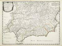
rif. 10313Paris: Pierre Mariette. 1652. No binding. Good. 410 x 540 mm. early outline colour in excellent condition. An attractive map of the south of Spain the Costa del Sol. First published in Nicolas Sanson's 'Les Cartes Generales' in 1658. Sanson was France's premier cartographer and helped to lift the field onto another plain during his career. The map extends from Faro in Portugal in the west eastwards to Valencia. Pastoureau Sanson Va no. 69; Phillips P.L. Atlases 4260-67. Pierre Mariette. 1652 unknown
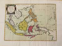
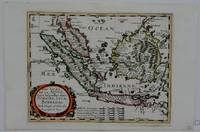
1654rif. M10780Paris 1654. Very Good. Notes: Detailed map of Southeast Asia by Nicholas Sanson 1600-1667 renowned French cartographer. Size : 402x560 mm 15.83x22.05 Inches Coloring: Original Hand Coloring Category: Maps Asia South East Indonesia & Papua New Guinea; Maps Asia South East Thailand Laos Vietnam Cambodia & Burma / Myanmar; Maps Asia South East Philippines; unknown
1660rif. M5006Paris 1660. Excellent. Notes: French map of South East Asia. Size : 195x250 mm 7.625x9.875 Inches Coloring: Hand Colored Category: ; Maps Asia South East Malaysia & Singapore; Maps Asia South East Indonesia & Papua New Guinea unknown