1.711 Ergebnisse
Best.-Nr. 29354Paris 1850 Gravure sur acier 42 x 51cm couleur epoque Bwx-09 unknown
Best.-Nr. 29353Paris 1850 Gravure sur acier 42 x 51cm couleur epoque Bwx-09 unknown
Best.-Nr. 29347Paris 1850 Gravure sur acier 42 x 51cm couleurs epoque Bwx-09 unknown
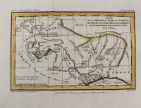
Best.-Nr. 29346Paris 1850 Gravure sur acier 42 x 51cm couleurs epoque bx-1. Presentee en quatre cartes : Palestine ou Terre Sainte divisee en douze tribus puis deux royaumes et en quatre provinces et Syrie meridionale en 962 - Terre de Chanaan ou terre promise et voyages des israelites a sa recherche - Royaume d'Herode - Carte pour servir a l'intelligence des livres d'Esdras de Tobie de Judith d'Esther de Job et des prophetes sur laquelle on a trace l'itineraire des Apotres St Pierre et St Paul unknown
Best.-Nr. 29348Paris 1850 Gravure sur acier 42 x 51cm couleurs epoque Bwx-09 unknown
Best.-Nr. 29355Paris 1850 Gravure sur acier 42 x 51cm couleur epoque Bwx-09 unknown
Best.-Nr. 29360Paris 1850. Gravure sur acier 42 x 51cm couleur epoque Bwx-09 unknown
Best.-Nr. 29363Paris 1850 Gravure sur acier 42 x 51cm couleur epoque Bwx-09 unknown
Best.-Nr. 29357Paris 1850 Gravure sur acier 42 x 51cm couleur epoque Bwx-09 unknown
Best.-Nr. 29361Paris 1850. Gravure sur acier 42 x 51cm couleur epoque Bwx-09 unknown
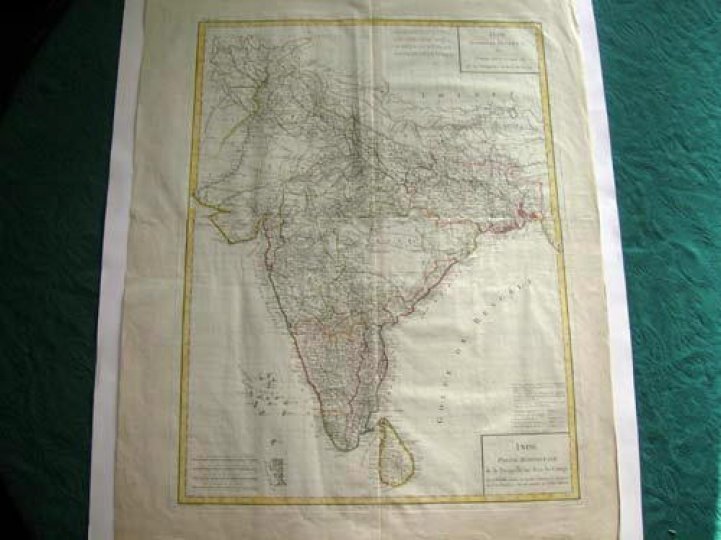
1795Best.-Nr. 7578et partie septentrionale de la presqu'ile en deça du Gange - Inde, Partie Méridionale de la presqu'ile en deçà du Gange.Gravée sur cuivre par Tardieu 1795. Encadrement et limites coloriés.Carte sur support cartonné. Envoyée sans le support pour des raisons techniques. Très bon état. Format in-plano (57x43).
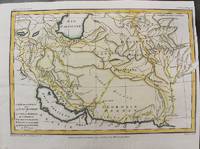
1797Best.-Nr. M10803Paris 1797. Very Good. Size : 195x288 mm 7.68x11.34 Inches Coloring: Hand Colored Category: Maps Asia Middle East Iran Iraq; unknown
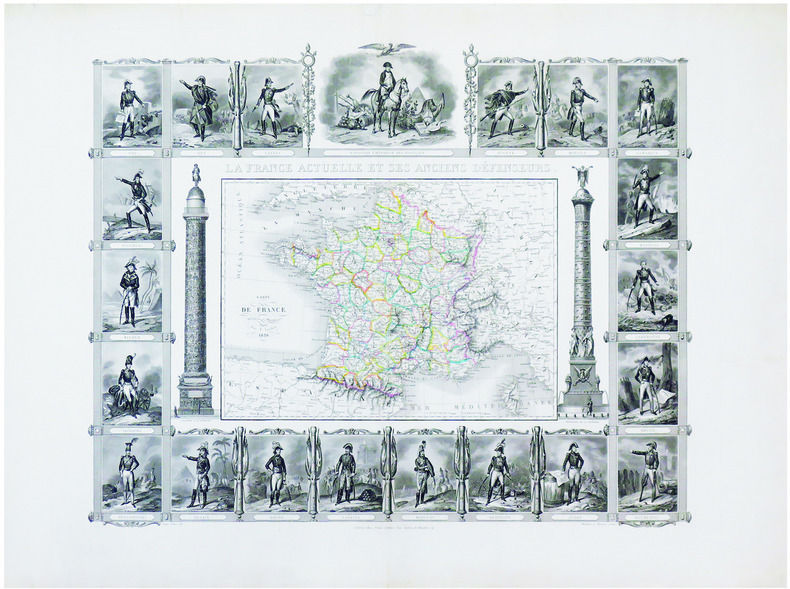
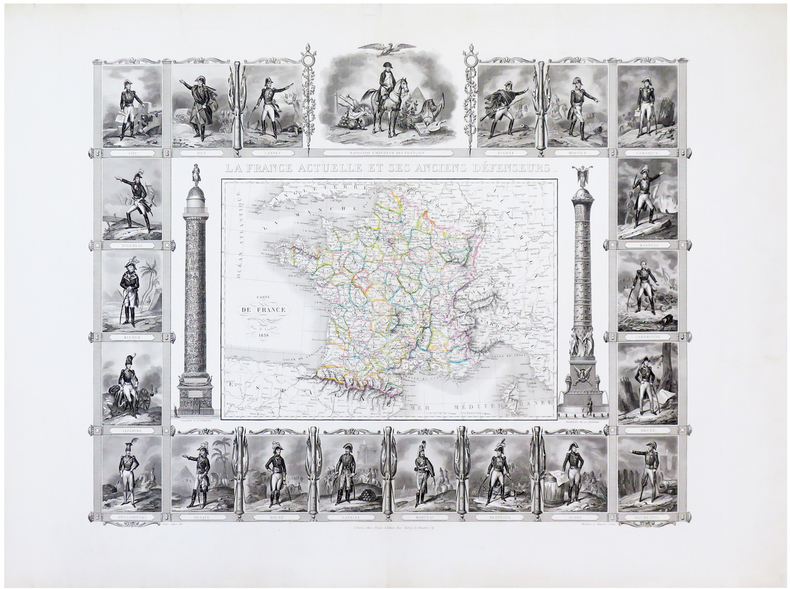
1838Best.-Nr. LBW-7160Paris, Binet, 1838. Gravure originale (52 x 64,5 cm).
1838Best.-Nr. LBW-6527Paris, Binet, 1838. 520 x 645 mm.
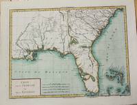
1799Best.-Nr. M5632Paris c. 1799. Very Good. Notes: The map depicts Florida during its time under Spanish control. Numerous Indian villages are located and roads are shown connecting early settlements. There are no engraved political divisions indicating the mapmaker's bias toward either the territorial claims of Spain or the United States. The map provides an excellent view of the Gulf Coast with a dramatically over-sized Tampa Bay. Numerous Indian villages are located and roads are shown connecting early settlements. The Bahamas are also well delineated. Size : 335x440 mm 13.125x17.25 Inches Coloring: Hand Colored Category: Maps United States South Florida; Maps United States South States; unknown
1797Best.-Nr. M10801Paris 1797. Very Good. Notes: Important early map of present day southern Iraq. Size : 132x208 mm 5.20x8.19 Inches Coloring: Hand Colored Category: Maps Asia Middle East Iran Iraq; unknown
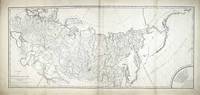
Best.-Nr. 8105Paris: 1801. No binding. Good. 530 x 1025 mm. 2 maps joined as one some minor restoration and support to the edge in a couple of places generally in good condition. A superb detailed two-sheet map of Russia recording an important period in the history of Georgia. During the second half of the eighteenth century the country of Georgia turned towards Russia for protection from the Ottoman Empire to the south. Although keen to support Catherine the Great sent little in the way of forces. Threats also came from Persia who in 1795 entered the country and burnt the capital Tiblisi to the ground. Following the death of Erekle II in 1798 a struggle for the succession broke out and calls began for the Russians to intervene. On 8 January 1801 Tsar Paul I of Russia signed a decree incorporating Georgia into the Russian Empire. This was thrown a little into disarray as the Tsar lost support and was assassinated in March of 1801. The Treaty however was ratified by his successor Alexander I on 12 September 1801. This is important as there are two known states of the map. The first as here bears the name of Paul I only in the second line of 'Observations' lower left. The second state bears that of Alexander I also and the imprint below the title of Jean Claude Dezauche. The address given for his business is 40 Rue des Noyers to which Tooley ascribes the dates 1816-24. One further notable difference between the two is the presence here of a 'Remarque' with 9 lines of text across the lower right corner which are missing in the other state as is the quarter circle border around the scale of miles above. Without being able to examine the other state closely we have to assume that this offered here is the first state dating from early 1801. The map is engraved by Pierre François Tardieu 1752-1798 with the script being the work of L. Aubert who worked from about 1797. The map extends all the way east to the Pacific Ocean and beyond into the claimed territories in North America. The border of the Russian Empire extends out into the Ocean encompassing the Aleutian Islands. The Russian cartography is largely drawn from the earlier French work of De L'Isle with that of the Pacific being drawn from the work of Jean Francois de La Perouse. The Hawaiian Islands are placed in the extreme edge of the map. 1801 unknown
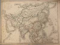
1821Best.-Nr. 331698Paris: Ambroise Tardieu 1821. unbound. Map. Original outline color. Image measures 21 1/2" x 16" Simple and elegant map of Asia. Highly detailed the map shows rivers population centers and topography. Relief is depicted pictorially. In good condition with some closed tears to margins and edge toning. Ambroise Tardieu 1788-1841 was a French engraver mapmaker and publisher. From a family of engravers he was trained by his uncle Pierre Alexandre Tardieu and became celebrated for his portraits. He also published a number of atlases. He and his uncle are not to be confused with Jean Baptiste Pierre Tardieu an unrelated French cartographer and engraver. Ambroise Tardieu unknown
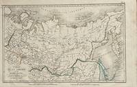
1821Best.-Nr. 172Paris: Tarieu Pirre 1821. 9 3/4 x 15 1/2 inches. Very good. Beautifully engraved map of Siberia as delineated in the early 19th century. Laid down on a small scale the map covers from Novelle Zemla to Kamtchatka Peninsula. From the Arctic Ocean to the Territory of the Chines there is an underlying physical geography focused on a riverine regime. Overall a very nice cartifact. Tarieu, Pirre unknown
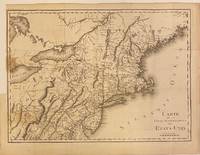
1801Best.-Nr. 301221Paris: Maradan 1801. Map. Uncolored engraving. Image measures 14 1/4" x 19 3/4". Stains and foxing but otherwise in good condition. Important early map of the United States published in "Voyage dans la Haute Pensylvanie et dans l'etat de New-York" by Michel Guillame de Crevecoeur. One of the most highly detailed and comprehensive maps published post-Revolution it depicts the northeast US extending from Maine to northern Virginia and westward to the Ohio River. In the Finger Lakes region surveyed bounty land known as the Central New York Military Tract or New Military Tract is indicated. Following the Revolutionary War New York soldiers were guaranteed 500 acres as compensation for their service. Nearly two million acres were reserved for this purpose. Other interesting features of the map include the Connecticut Western Reserve in present day Ohio and lack of a northern border in Maine. Cities counties rivers and roadways are labeled. Some stains along left margin. Minor spotting. Pierre Francois Tardieu 1711-1771 came from a family of engravers and map makers based in Paris. Maradan unknown
1783Best.-Nr. M2768Paris: Le Clerc Nicolas Gabriel 1783. Excellent. Size : 238x480 mm 9.375x18.875 Inches Coloring: Hand Colored Category: ; Maps Europe Ukraine Le Clerc, Nicolas Gabriel unknown
Best.-Nr. 286753Pierre-Francois Tardieu. unbound. Map. Engraving with modern hand coloring. Image measures 12.5 x 16.75 inches. Sheet measures 17 x 22 inches. In very good condition. Beautiful early map of Florida and Georgia western Louisiana southern parts of the Carolinas and the Bahamas circa 1798. The interior of Florida was not yet mapped with distortions to Baie du St. Espirit. Pierre Francois Tardieu 1711-1771 came from a family of engravers and map makers based in Paris. This map was engraved by Jean Emmanuel Jerome Vallet. Hard to find. Pierre-Francois Tardieu unknown
1825Best.-Nr. LBW-31561821. 405 x 542 mm.
Best.-Nr. 30923aaf1818, 59 x 74 cm, Grande carte de l'Asie, frontières des pays coloriées, en bas à gauche le titre et les échelles. toile
1821Best.-Nr. 331698Paris: Ambroise Tardieu 1821. unbound. Map. Original outline color. Image measures 21 1/2" x 16" Simple and elegant map of Asia. Highly detailed the map shows rivers population centers and topography. Relief is depicted pictorially. In good condition with some closed tears to margins and edge toning. Ambroise Tardieu 1788-1841 was a French engraver mapmaker and publisher. From a family of engravers he was trained by his uncle Pierre Alexandre Tardieu and became celebrated for his portraits. He also published a number of atlases. He and his uncle are not to be confused with Jean Baptiste Pierre Tardieu an unrelated French cartographer and engraver. Ambroise Tardieu unknown books