TARDIEU (Ambroise).Livre Rare Book

1.711 Ergebnisse
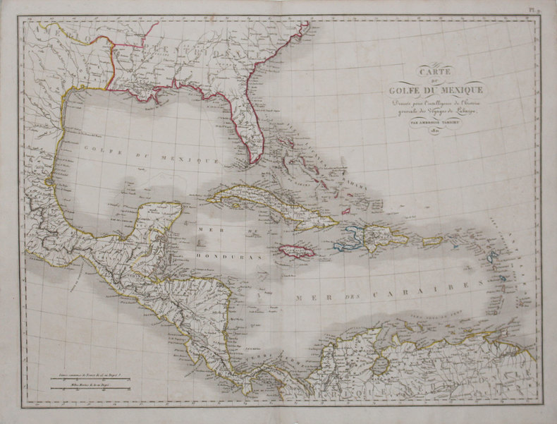
1825Best.-Nr. LBW-31781821 [1825]. 548 x 410 mm.
1825Best.-Nr. LBW-31631821 [1825]. 408 x 544 mm.
1825Best.-Nr. LBW-32021821 [1825]. 409 x 564 mm.
Best.-Nr. 286753Pierre-Francois Tardieu. unbound. Map. Engraving with modern hand coloring. Image measures 12.5 x 16.75 inches. Sheet measures 17 x 22 inches. In very good condition. Beautiful early map of Florida and Georgia western Louisiana southern parts of the Carolinas and the Bahamas circa 1798. The interior of Florida was not yet mapped with distortions to Baie du St. Espirit. Pierre Francois Tardieu 1711-1771 came from a family of engravers and map makers based in Paris. This map was engraved by Jean Emmanuel Jerome Vallet. Hard to find. Pierre-Francois Tardieu unknown books
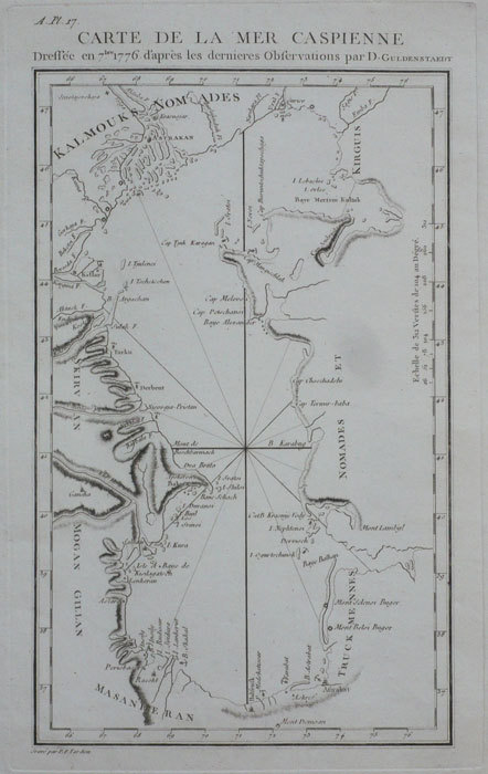
1794Best.-Nr. LBW-1159[1794]. 260 x 153 mm.
1794Best.-Nr. LBW-1158[1794]. 210 x 450 mm.
1801Best.-Nr. 301221Paris: Maradan 1801. Map. Uncolored engraving. Image measures 14 1/4" x 19 3/4". Stains and foxing but otherwise in good condition. Important early map of the United States published in "Voyage dans la Haute Pensylvanie et dans l'etat de New-York" by Michel Guillame de Crevecoeur. One of the most highly detailed and comprehensive maps published post-Revolution it depicts the northeast US extending from Maine to northern Virginia and westward to the Ohio River. In the Finger Lakes region surveyed bounty land known as the Central New York Military Tract or New Military Tract is indicated. Following the Revolutionary War New York soldiers were guaranteed 500 acres as compensation for their service. Nearly two million acres were reserved for this purpose. Other interesting features of the map include the Connecticut Western Reserve in present day Ohio and lack of a northern border in Maine. Cities counties rivers and roadways are labeled. Some stains along left margin. Minor spotting. Pierre Francois Tardieu 1711-1771 came from a family of engravers and map makers based in Paris. Maradan unknown books
1825Best.-Nr. LBW-32261821 [1825]. 256 x 391 mm.
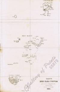
1834Best.-Nr. 55879steel engraving map from 'Voyage Pittoresque Autour du Monde' vol.1 pl. 74. Dumont was a French explorer and naval officer. For thirty-eight months he explored the south and western Pacific Australia New Zealand and Antarctica. Several seaweeds plants and shrubs are named after him as well as D'Urville Island. Reference: Taylor 19 Graesse VIII 227. Condition: with paper loss and burn marks slightly into plate. L. Tenré in Paris.
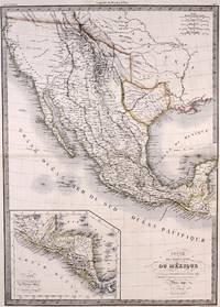
1842Best.-Nr. M7906Paris: P. Lehuby c. 1842. Very Good;. Notes: A rare and important version of Lapie's Mexico map circa 1842 which depicts Texas as an independent Republic. With an inset map in the lower left of Guatemala. Size : 550x395 mm 21.65x15.55 Inches Coloring: Original Outline Coloring Category: Maps United States South;Maps United States South Texas;Maps Central America Mexico; P. Lehuby unknown
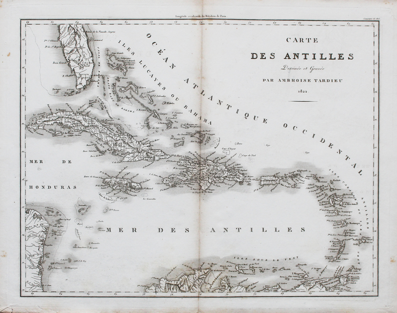
1822Best.-Nr. LBW-44761822. 370 x 468 mm.
Best.-Nr. 27141Paris L. Tenré 1829 - 1832 une carte ancienne gravée en noir et bordures en rose, bleu et jaune par Couché fils graveur et J. M. Hacq scripsit, Format : 24 x 31 cm, Tirée de : "Oeuvres complètes de Buffon, augmentées par M. F. Cuvier ", 1829 - 1832 Paris F. D. Pillot Editeur,
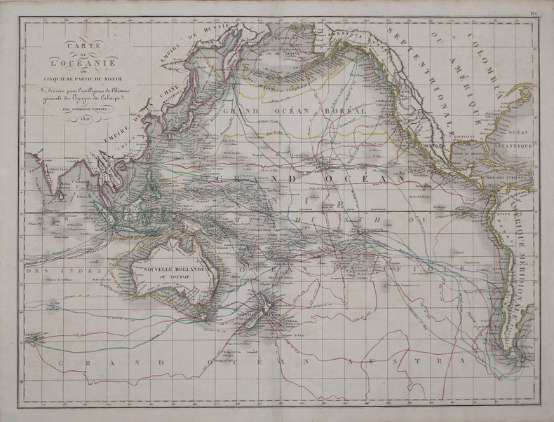
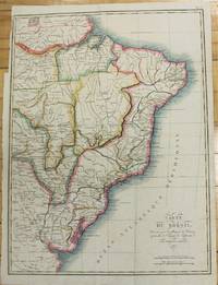
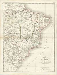
1821Best.-Nr. M2689Paris 1821. Very good. Size : 407x545 mm 16x21.5 Inches Coloring: Original Hand Coloring Category: Maps South America Countries; unknown
Best.-Nr. 61285Paris: par Ambroise Tardieu 1821. Double page engraved map of Brazil 52.5 x 40 cm overall sheet size 58 x 44 cm. With outline hand colouring. Centrefold crease as issued. Small ink stain to upper right of map. Generally very good. Paris: par Ambroise Tardieu, 1821. unknown
1806Best.-Nr. 27220PARIS Pierre Gilles Chanlaire et Edme Mentelle 1806 Une gravure Originale à l'eau-forte et au burin en noir : Format : 39,5 centimètres de haut par 55 centimètres de large, sur papier vergé ligné crème, 1806 Paris, Pierre Gilles Chanlaire et Edme Mentelle. Editeur,
1869Best.-Nr. 555921 carte dépliante lithographiée en couleurs entoilée format 89 x 67,8 cm, Chambéry, 1869, Carte du Département de la Savoie par M. Conte, Ingénieur en Chef des Ponts et Chaussées, Officier des Ordres de la Légion d'Honneur, des SS. Maurice et Lazare, etc. etc. avec le Concours de Mr. Tardieu, Agent-Voyer Chef, Par Jh. Perrin, Libraire Editeur et Lithographe
1825Best.-Nr. LBW-32271821 [1825]. 406 x 542 mm.
1802Best.-Nr. 27422Paris Dentu 1802 carte ancienne d'époque en noir, gravée par Tardieu. Format total : 45,5 centimètres de haut par 51,5 centimètres de large, 1802 Paris Dentu Editeur,
Best.-Nr. 6788S. l., P. F. Tardieu et P.H. Macquet, circa 1790. 2 feuilles à superposer (102 x 49,5 cm) x 2. Exemplaire avec réhauts de couleurs et à très grandes marges avec les îles Anglo-normandes dans un encart.
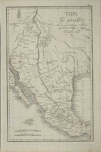
Best.-Nr. 8820Paris: 1821. No binding. Very Good. 390 x 250 mm. early outline colour. A fine detailed map of present day Texas and the South West issued just prior to the founding of Stephen Austin's colony. It was published in the 'Atlas pour servir a L'Intelligence de l'Histoire Generale des Voyages de La Harpe' by Etienne Ledoux. The maps were provided by Amboise Tardieu 1788-1841 the son of another mapmaker Antoine Francois Tardieu. The design of the map is drawn from the 'Carte Generale du Royaume de la Nouvelle Espagne' of Alexander Humboldt issued in 1812. In the same year Stephen F. Austin's father Moses Austin obtained a grant from Spanish authorities in New Spain to settle nearly 300 families in an unsettled region of their territory which would later become known as Texas. The only recognisable settlement shown is San Antonio founded in 1718. The river network in the area is reasonably accurate for the time. The map extends northwards to 42 degrees and takes in Santa Fe and regions to its north. The areas western edge is shown as the source of the Colorado River but is all theoretical. The whole bears the names of a large number of Indian Tribes and place names. 1821 unknown
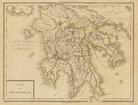
1797Best.-Nr. 34633Paris um 1797. In excellent condition. 34.5 x 435 cm 13.5 x 1725 inches. Original antique copper engraving colored in outline when published. Antique map of the Peloponnes in Greece hand colored in outline. Many place names rivers and mountains are shown. Title cartouche in the lower left corner mile sclae in the left sided middle. Pierre Antoine Tardieu also known as P.F. Tardieu March 9 1784 in Paris July 17 1869 in Paris was a French engraver steel engraver and cartographer.Pierre Antoine Tardieu was born in his family's ancestral home on Place de Estrapade. He was taught his craft by his father Antoine François Tardieu. He was the first of his family to carry out his maps in steel engraving. The extraordinary quality of his work even drew the attention of Alexander von Humboldt.In 1818 he married Eugénie-Isabelle de Bonnaire.1 In the years 1832 to 1834 he was involved in several arms dealerships as a volunteer in the reintroduced Garde Nationale. During this time he also became an elementary school inspector.He also took part in the industrial exhibition in 1834 where he received the bronze medal from Louis-Philippe I for his work. In 1837 he was finally appointed Knight of the Legion of Honour. He worked in his father's workshop for a total of 25 years before becoming self-employed. However he continued to live in the house where he was born until his death. In 1861 he retired at the age of 77. In excellent condition. unknown
Best.-Nr. 14666Paris, chez Jean, Rue St Jean de Beauvais, 1819. Carte dépliante de 76 cm x 55 cm avec une mise en couleurs de l'époque. Dans un cartouche à droite :Correspondance locales des départemens aux ci-devant provinces. Quelques traces de mouillure claire.
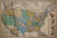
1848Best.-Nr. M7518Paris: A. Bes & F. Dubreuil Fils c. 1848. Very Good. Folding map flattened and backed acid-free tissue paper for long-term preservation. Two marginal tears repaired expertly. Notes: A scarce large-scale map of the Mexican-American War era and of the entire West. To the very north the boundaries of the United States extend well into future British Columbia and within the current states of Washington and Oregon is carved the District of Columbia which was owned by the British. California Arizona and Nevada are together and California's central valley is highlighted for its gold deposits. The map is based upon the Eustache Herisson map of the United States 1799 and its major cities. As various publications were made 1826 1834 the map started to take shape. Various projections of the Rocky Mountains were used based off of the Humboldt and Pike projections. Much of the Northwest is based off of the Lewis and Clark expedition. This particular map is a scarce and important example as it focuses on the changes brought about by the Mexican-American War. The major differences in this regard are a small inset map of Central America and the delineation of the Mexican-American border; as this map shows all the territory that the United States had captured since the onset of the war. Five inset maps depict Mexico and the cities of Washington Boston Philadelphia and New York. Size : 509x662 mm 20.04x26.06 Inches Coloring: Original Hand Coloring Category: Maps United States; A. Bes & F. Dubreuil Fils unknown
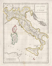
1798Best.-Nr. 5441798. Copper-line engraving with later hand-colouring. 450mm by 350mm platemark. French copper-line engraved map of Italy and Sicily with later outline hand-colouring. Published in Paris 1798. Central horizontal fold as issued. A couple of small stains.Scarce map from Mentelle & Chanlaire's Atlas Universel. etc. The engraving detail is very well executed in the style of other Tardieu maps. unknown
1787Best.-Nr. 18210CB1787. Paris Maradan 1787. 56 x 1175 cm Two sheets joined together several times folded. No binding. Partly worn at the margins partly stronger bended but still an impressive large format map. Tardieu 1711-1771 was a french engraver also well known for his engravings after La Fontaine. The map shows Russia from the Polish border until Alaska on behalf of the St. Petersburg Academy. printed for Pallas's 'Voyages en différentes provinces de l'Empire de Russie et dans l'Asie septentrionale' which was published first in Russian in 1771-76. unknown