17 224 résultats
réf. EXE-116Paris, Ch. Lahure, 1862-1865. 2 volumes in-4° demi chagrin de l'époque, dos à nerfs orné, plats décorés, tranches dorées (Heldt).
1791réf. 15636Paris, Buisson, 1791. 2 volumes in-8 de 4-VIII-466; [4]-486 pages, demi-basane brune à coins, dos lisses ornés de filets dorés, pièces de titre beige et de tomaison, ronde et verte, en forme de médaillon. Ex-libris Monvert et signature de Ch. L. Monvert, avocat. Une note à l'encre sur la page de titre précise Rédigés par J. Hiac. de Magellan, & publiés par Noel.
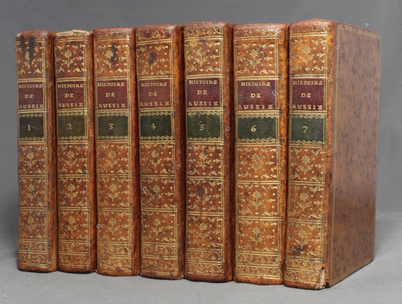
1782réf. 9809A Paris, chez Debure l'aîné, 1782. 7 volumes in-12 de [2]-XLVIII-442; [4]-516; 570; [4]-548; [4]-565-[3]; [4]-LX;537 et [4]VII-497-[3] pages, plein veau moucheté, dos lisses ornés de filets, fleurons, encadrements et titre dorés, étiquettes de titre bordeaux et de tomaison vertes, triple filet doré encadrant les plats, simple sur les coupes, tranches rouges. Quelques épidermures, la coiffe sup. manque au second volume et souffre d'un petit manque au premier, rares rousseurs, 2 cahiers très légèrement déboîtés au volume 3, accroc au mors inférieur du vol. 7.
réf. 113584aafGlagow, Printed by Edward Khull, & co. for W. Sommerville, A. Fullarton, J. Blackie & co. Booksellers, 1814 - 1815, in-8vo, XXIV + 450 p. / 1 leaf + page 451 up to 973, illustrated with 6 engraved portraits and 2 engraved folded maps (put on linen by the binder), mild browning to the text-pages, fine full red morocco bindings, spines on 5 bands richly gilt, arms, letters (‘N’) & chiffres in gilt lines within 6 compartments, with date 1815, covers with gilt filets and identical chiffres in the 4 corners, inside floral borders with birds, bindings signed ‘Hatchards 187 Piccadilly’,
réf. 125245aafParis, Giguet u. Michaud, 1802, in-8vo, 259 p. / 306 p. / 342 p., avec 3 portrait gravés: Souwarow - Catherine II -Paul I. (Mit 3 gest. Portraits). page de titre avec cachet d’un bibliothèque russe + 2 ex-libiris e.a. G. Tschertkoff, reliure en d.-cuir vers 1850, dos irchement orné or.
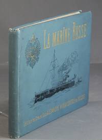
1892réf. 58067St. Pétersbourg: Stadler & Pattinote 1892. Oblong folio 3 p.l. plus 56 chromolithograph plates each with descriptive text on the verso of the preceding plate 1 leaf of index; original pictorial blue cloth stamped in gilt and black on the upper cover; front hinge reglued the contents slightly shaken otherwise on the whole very good the plates clean. With explanatory letter-press in Russian and French. Four copies in OCLC only the U.S. Navy and Miami University in the U.S. Stadler & Pattinote unknown
1892réf. 58067St. Pétersbourg: Stadler & Pattinote 1892. Oblong folio 3 p.l. plus 56 chromolithograph plates each with descriptive text on the verso of the preceding plate 1 leaf of index; original pictorial blue cloth stamped in gilt and black on the upper cover; front hinge reglued the contents slightly shaken otherwise on the whole very good the plates clean. With explanatory letter-press in Russian and French. Four copies in OCLC only the U.S. Navy and Miami University in the U.S. Stadler & Pattinote unknown books
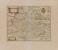
1664réf. 200038AG1664. Amsterdam Blaeu c.1664. Original hand-coloured engraving. Plate Size: 48.7 cm x 38.6 cm. Sheet Size: 65.2 cm x 55.7 cm. Original map. In very good clean condition. Wide margins. Latin text on reverse. Koeman II 1803:2. From: J. Blaeus Grooten Atlas oft Werelt- Beschryving in welcke 't Aerdryck de Zee en Hemel wort vertoont en beschreven. Amsterdam J. Blaeu 1664. Van der Krogt 2 621. Beautiful map of mid-17th Century Russia published during the reign of Tsar Alexis of Russia of the Romanov Dynasty as Moscow vied for regional hegemony with the PolishLithuanian Commonwealth and Sweden. 'Mosqua' Moscow is in the lower right corner. Smolesnsk is just squeezed in within the maps lower border. Novogorod can be seen just below the outflow of Lake Ilmen. In the upper left lies Estonia and the Gulf of Finland. Below this is the 'Livonia' region which is now between Latvia and Estonia. The regions listed as 'Ingria' and 'Careliae Pars' on the map were then under the control of the Swedes. The Russians would eventually seize this territory and dominance of the Baltic and build their new capital St. Petersburg there. This lay in the future. The map's political delineation shows the westward extent of Moscow's reach. 'Lithva' in the lower left of the map was then within the territory of Polish-Lithuanian Commonwealth. This region is now modern-day Belarus: 'Witespk' is now the Belarussian city of Viciebsk. Relief depicted pictorially and the historic place-names are in Latin. The cathedral cities such as Pereslaw Pereslavl-Zalessky and Ieroslaw Yaroslavl and Pseskow/Pskouwa Pskov are depicted. With numerous deers and foxes seen across the map the mapmaker indicates that this is a vast region still untamed. In the 'Megrina' province the mapmaker shows a bear-hunt at its deadly denouement. The map is covered with forested areas and vast waterways such as the Volga and Volkhov and Daugava/Dvina 'Duna flu' Dnieper Boristenis Flu rivers and a patchwork of lakes such as Lake Peipus and 'Biela Osera' Rybinsk Reservoir. Large decorative title cartouche accompanied with busts of moose and deer in the left top corner of the map. The eagles of the Russian coat of arms look east and west from the top right corner of the map. In the lower left corner an ornate cartouche contains two milliaria bar scales. Blaeu as it is noted on the cartouche based the map on the travels and maps of Isaac Massa. Isaac Abrahamszoon Massa 1586 - 1643 was a Dutch grain trader traveller and diplomat the envoy to Muscovy. He wrote memoirs related to the Time of Troubles and created some of the earliest maps of Eastern Europe and Siberia. Massa in Moscow witnessed the second half of Boris Godunov's reign during which a civil war broke out now known as the Time of Troubles. He survived the capture of Moscow by False Dmitriy I and left Russia in 1609 before the fall of Tsar Vasily Shuysky. Massa compiled an account of the 16011609 events Dutch: Een cort Verhael van Begin en Oorspronk deser tegenwoordighe Oorloogen en troeblen in Moscovia totten jare 1610 which he presented to Stadtholder Maurice. In 16121613 Massa published two articles on Russian events and the geography of the Land of Samoyeds accompanied by a map of Russia which were published in an almanac edited by Hessel Gerritsz. His notes on his various travels have been published in conjunction with maps made by the explorer Henry Hudson. Massa is credited with five published maps of Russia and its provinces the last ones compiled around 1633 and two maps of Moscow city including the schematic account of the 1606 battle between Vasily Shuysky and Ivan Bolotnikov's armies. He returned to Russia in 1614 and became an active agent in a myriad of diplomatic and commercial schemes and endeavours between Western states and companies and Moscow. Massa a wealthy and prominent man of the world has been the subject of several portraits by Dutch painter Frans Hals. Wikipedia Willem Janszoon Blaeu 1571-1638 was a Dutch cartographer atlas maker and publisher. Along with his son Johannes Blaeu Willem is considered one of the notable figures of the Netherlandish/Dutch school of cartography in its golden age the 16th and 17th centuries. Blaeu set up his mapmaking and publishing business in Amsterdam where he sold instruments and globes published maps and edited the works of intellectuals like Descartes and Hugo Grotius. In 1633 he was appointed map-maker of the Dutch East India Company. In 1635 he released his atlas Theatrum Orbis Terrarum sive Atlas novus. Willem died in 1638. He had two sons Cornelis 1610-1648 and Johannes 1596-1673. Joan trained as a lawyer but joined his father's business rather than practice. After his father's death the brothers took over their father's shop and Joan took on his work as hydrographer to the Dutch East India Company. Later in life Joan would modify and greatly expand his father's Atlas novus eventually releasing his masterpiece the Atlas maior between 1662 and 1672. Wikipedia unknown
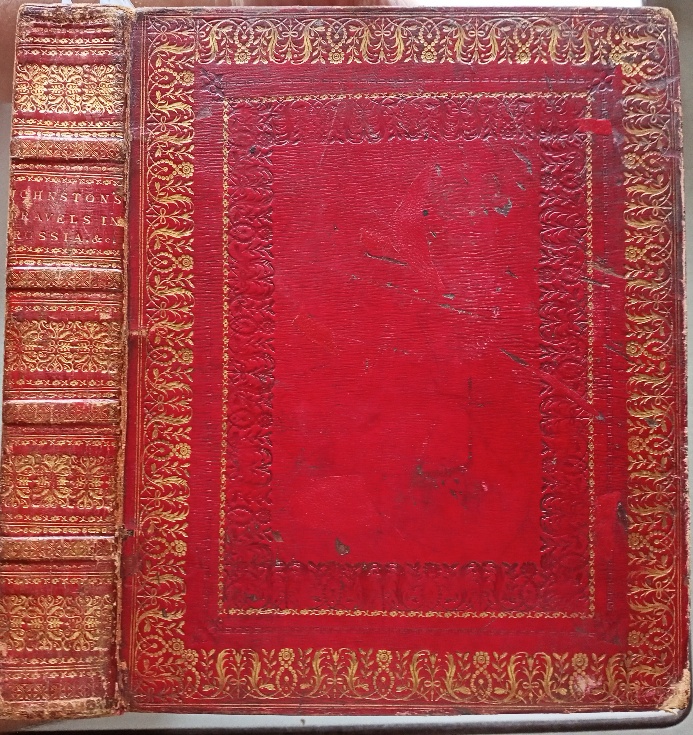
1815réf. 6693ALondon, Stockdale, 1815. 4°. 460 S. Mit 20 handkolor. Aquatintatafeln, 2 gest. Karten, 1 Holzschitttafel, und 1 Textholzschnitt. Lederband der Zeit mit ganzseitigem Goldschnitt und reicher Deckel- und Rückenvergoldung. Gelenke berieben, Kanten bestossen. 1 Tafel (Kremlin) mit kleinem, 4cm großem, geklebten Randeinriss. [7 Warenabbildungen]
Cm. 16,50; pp. XII, 381, (3). Legatura moderna in pelle, titoli e fregi in oro al dorso. 10 tavole di vedute fuori testo incise all'acquatinta e una grande pianta di San Pietroburgo, a colori, più volte ripiegata fuori testo. Le ultime quattro pagine dell'indice con fioriture, qualche piccola gora all'angolo bianco, nel complesso ben conservata. Guida rara e decorativa 946/P
Un vol. in 12° ( cm. 17,0) cartone coevo muto di attesa; pp. 161(1) + 3 cc. bb. + 216 + 216. Fin. xilografici. Ex libris del barone Horace de Landau all'int. del piatto ant. A parte qualche tenue arrossatura e strappi al dorso, bell'esemplare genuino, in barbe. Edizione assai rara; il Catalogo del servizio bibliotecario nazionale [identificativo : IT\ICCU\LIAE\043002] ne riporta solo cinque copie.
1862réf. 15591Lahure et Cie Paris 1862-65 2 vol. 2 vol. in-folio de 392 pp. 6 ff.n.ch. (tables) et 376 pp. 6 ff.n.ch. (tables), demi-chagrin de l'époque, dos à nerfs orné, plats décorés aux armes impériales de Russie, tranches dorées (reliure de Heldt).
1802réf. PHO-1648Paris, F. Buisson, et Giguen, an X – 1802. 2 volumes de texte in-8° (210x130mm), relié pleine toile époque, dos lisse. XXIV-385pp ; 417pp. et un Atlas In-4, broché, titre sur le plat contenant 14 planches gravées (vues, costumes) et une carte dépliante du détroit qui sépare l'Asie de l'Amérique. Bon exemplaire.
réf. 215491À Paris, Chez Pillet ainé, 1838 3 vol. in-8 et un atlas in-8, 5 tabl. dépl., frontispice à chaque tome, 9 cartes repliées et un plan de Moscou en 1812 à l'atlas, demi-veau violine, dos à nerfs, filets et caissons dorés, tête dorée (reliure de l'époque). Rousseurs, parfois fortes.
1812Carta geografica murale in sei fogli, applicata su tela a stacchi, raffigurante la porzione di Russia Europea, corrispondente agli attuali territori di Russia (europea), Polonia e Lituania, durante il periodo della campagna condotta da Napoleone Bonaparte, L'opera venne realizzata da Iwan Danielow prendendo spunto dalle carte del "Depot Geographique Imperial de St. Petersburg". Nel particolare sono raffigurati i territori compresi tra Danzig e Toblosk (Ovest - Est) ed Kielvig e Erzelum (Nord - Sud). Ottimo stato di conservazione
réf. 197784Paris, Dupont, 1833 2 vol. in-8, [2]-420 pp. et 436 pp., gravure-frontispice, demi-veau violine, dos à nerfs orné de filets dorés, monogramme couronné dans un entre-nerfs, tranches marbrées (reliure de l'époque).
réf. ORD-3827Modification de l'homme par l'alimentation. Plus de 6000 recettes. 4 planches coloriées (absentes comme la plupart du temps), 2000 figures gravées dans le texte. 2°grande édition corrigée et augmentée par l'auteur. 4 volumes d'environ 500 pages chacun. Paris. Chez l'Auteur. En vente dans toutes les Librairies et chez les Fabricants d'Ustensiles et Vestes de Cuisine en France et à l'Étranger. s.d. 4 volumes in-4 (218 x 288mm, dimensions intérieures) dos lisses chagrin rouge orné de fleurons or, 3ff.n.ch. (Dédicace à la ville de Paris texte et gravure en bistre), portrait de l'auteur, XVIII, 1f., 1943 pages. (pagination continue), le tome 4 contient en plus XXXIV pages d'Eugène KRANTZ sur L'Approvisionnement, les cuisines et le service de table de LL. MM. L'Empereur Alexandre III dans le voyage à travers les Russies en 1888 (du 24 août au 18 octobre) avec illustrations et menus dans le texte (avec un paragraphe sur l'Anon truffé), particularité non signalée par Oberlé, 258 ni par Vicaire, 356, qui ne parlent que d'une 1°édition qui sans doute ne contient pas ce chapitre. Dos refaits dans le style de l'époque, très bel exemplaire sans rousseurs de ce phénoménal dictionnaire..
réf. 221344Paris, Dumont, 1841 2 vol. in-8, III-306 pp. et 348 pp., demi-veau prune, dos à faux nerfs richement orné à froid, roulette dorée (reliure de l'époque).
1827réf. 18393Paris, Ponthieu et Cie; Leipzig Ponthieu, Michelsen et Cie 1827 in-8 de 2 ff.n.ch. et 187 pp. br., couv. bleue impr., couv. tachée, infimes piqûres
1837réf. 19533Varsovie Imprimerie de la Banque de Pologne 1837 in-8 demi-veau marron, dos lisse, couv. cons. (rest.), [Rel. moderne], rouss
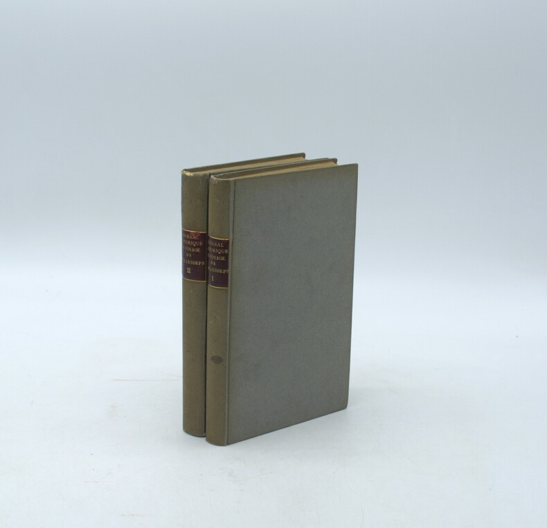
1790réf. PHO-2142Paris, de l’Imprimerie Royale, 1790. 2 volumes in-8° (20 × 13,5 cm), reliés en cartonnage postérieur, dos lisse avec pièces de titre, d’auteur et de tomaison, (6)-VII-1-280 pp. ; 4 ff., 380 pp., VI pp. d’errata. Illustré de deux cartes dépliantes (Kamtschatka ; Route de M. de Lesseps) et d’une planche dépliante (Caravane kamtschadale). Petits défauts, réparations aux faux-titre, titre et 1er feuillet.
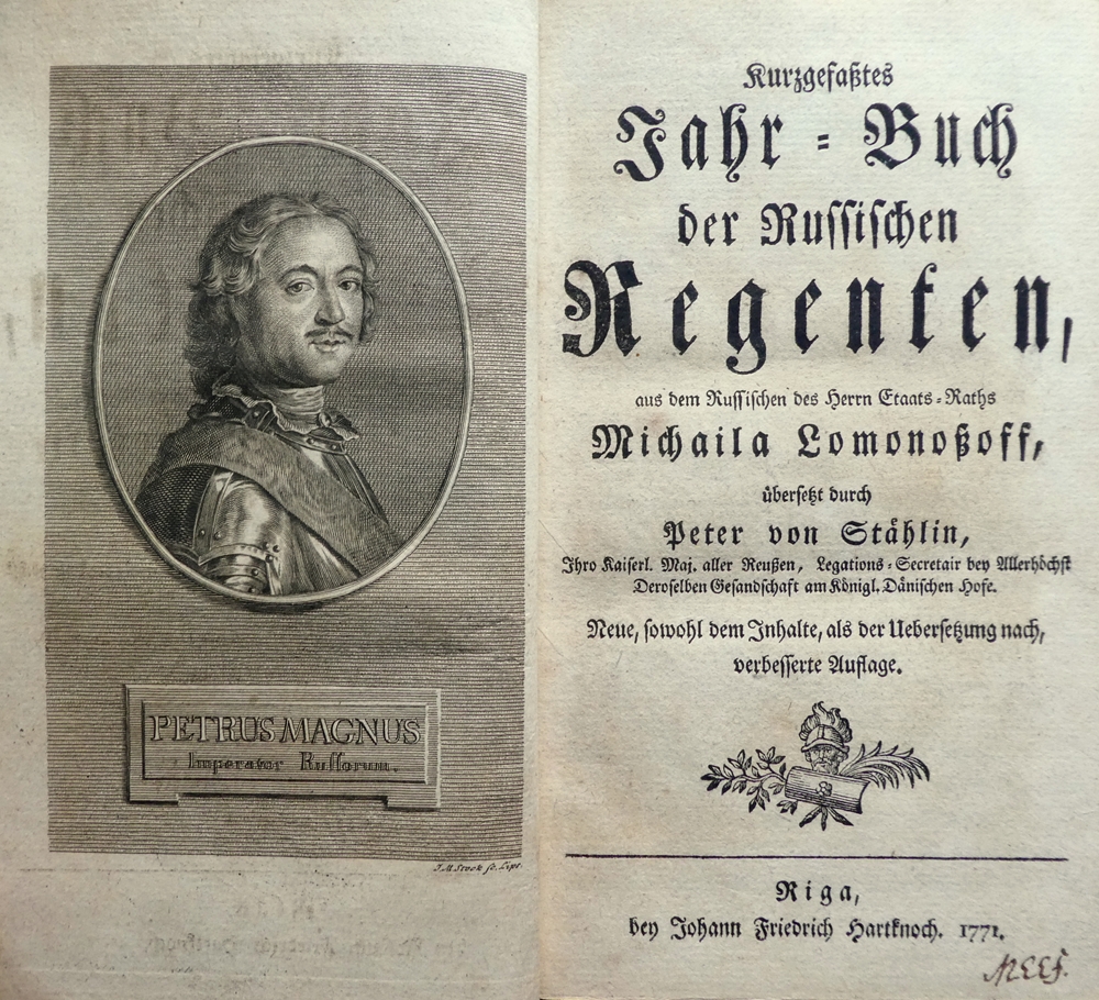
1771réf. 77795Riga, bey Johann Friedrich Hartknoch, 1771. 8 Bll., 72 S. Mit 1 gestoch. Porträt Peters des Großen (von J. M. Stock) u. Vign. (20 x 13 cm). HLdr. d. Zt. auf 5 Bünden mit RVergold. u. RSchild.
réf. 235569À Lyon, Chez Jean-Marie Bruyset, 1772 2 vol. in-8, XLIV-[4]-366 pp. et 428 pp., 10 pl. dépl., index, veau fauve, dos à nerfs orné, tranches rouges (rel. de l'époque).
1800réf. 39142Amsterdam 1800-1803 4 volumes in-8 demi-basane fauve marbrée à coins, dos lisses ornés, pièces de titre et de tomaison de maroquin orange [Rel. de l'époque], tache d'encre pp. 338-339 du t. 1, sans atteinte au texte
1794réf. 194674Maradan A Paris, chez Maradan An II. 1794. Atlas in-Folio relié sous couverture d'attente cartonnée de l'époque. Le papier est manquant en dos de la reliure. Traduit de l'Allemand par le Cit. Gauthier de la Peyronie. Nouvelle édition revue et enrichie de notes par les C C. Lamarck, Professeur de géologie au Muséum National d'Histoire Naturelle ; Langlès, Sous-Garde des manuscrits de la Bibliothèque Nationale, pour les langues Arabe, Persane, Tatane-Mantchoue, & Billecocq, Homme de lettres. Contenant la Carte générale de l'Empire de Russie, d'après la nouvelle division de cet Empire en quarante-deux gouvernemens ; dix Cartes Géographiques ; soixante-dix-sept planches de botanique ; douze autres représentant des fourneaux, moulins, monumens & ; onze d'idoles et costumes ; et onze d'animaux, d'Histoire naturelle, d'Hiéroglyphes, &. Atlas bien complet des 108 planches dont douze dépliantes. Celles-ci sont toutes montées sur onglets et classées selon la disposition de l'édition in-8. Déchirure sans manque au bas de la planche 33 - 33 bis, sans manque. Monument cartographique et iconographique de l'exploration des Lumières, cet atlas fut dressé pour consigner les découvertes de la « Grande Expédition académique » (1768-1774) financée par l'impératrice Catherine II. Sous la direction du médecin, géologue et naturaliste prussien Peter Simon Pallas, la mission parcourut plus de 20 000 kilomètres à travers les territoires les plus reculés de l'Empire russe, de la Volga aux frontières de la Chine impériale (Kyakhta), en traversant le Caucase, l'Oural, le bassin de l'Irtysh et le lac Baïkal. Traduit par Gauthier de La Peyronie et publié sous la Révolution par le libraire Marandan, cet atlas constitue la documentation visuelle de référence sur le Nord de l'Asie au XVIII siècle. Atlas seul de cette importante relation scientifique commandée par Catherine II. Il rassemble l'iconographie et la cartographie de l'expédition menée par le naturaliste Pallas à travers l'Oural, la Sibérie, les bords de la mer Caspienne et les confins de la Chine. Bon exemplaire