ABU ZAYD HASAN (Traduction par FERRAND, Gabriel)Livre Rare Book
230 resultados
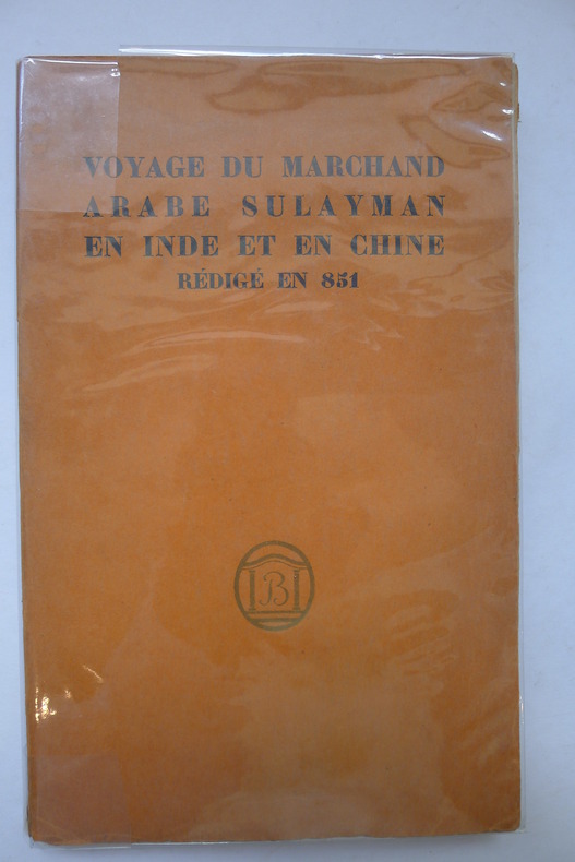
ref. 2639Paris, Editions Bossard, 1922. 1 volume in-8, 155 pp., broché, illustré de nombreuses gravures sur bois in texte, bon état général.
1888ref. 28220Paris Librairie Hachette et Cie 1888 In-12 XII-451pp 84 gravures et 14 cartes , couverture détachée rousseurs, mériterait une bonne reliure
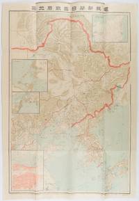
1904ref. 216818東京. Tokyo.: 電報新聞社. Denpō Tsūshinsha. Fifth Edition. Meiji 37 1904. Colour folding map with four inset maps 78.2 x 54.5cm folds into light card covers measuring 21 x 14cm. Very good copy. This the fifth edition of this map was published on 7th June 1904 reflecting the high level of public interest in receiving up-to-date information on the war particularly while the siege of Port Arthur continued without a decisive Japanese victory. The map includes four inset maps among them detailed views of Port Arthur and Vladivostok. It also records distances between key ports in Japan Korea and China. . 電報新聞社. [Denpō Tsūshinsha]. unknown
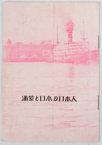
1933ref. 171122Circa1933. Map in text with outline colour graphs black and white mainly photographic illustrations 16pp original pictorial wrappers. Very good copy. 18.9 x 12.8cm. This booklet argues the importance of Manchuria and Inner Mongolia for Japan and its people as a new frontier for migration and development. It points out that the development of railway networks and in agricultural production should be of benefit for not only for Japan and its migrants but also for Manchuria through its growth prosperity and stable governance. It seems likely this booket was published a few years after the Manchurian Incident when Japan was keen to expand its influence and rights throughout the area. . unknown
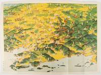
1932ref. 220844東京. Tokyo.: 大日本雄弁会講談社. Dainihon Yūbenkai Kōdansha. Showa 7 1932. Attractive colour folding bird's-eye view map with black and white photographic illustrations on the reverse. 39 x 53.5cm. Very good condition. This colourful bird’s-eye view map of Manchuria by Ito Kikuzo 1901–1985 a popular graphic artist in the early Showa period covers the entire region showing railway lines cities local produce and natural resources. Although a few small human figures appear the map largely presents Manchuria as a treasure trove of agricultural produce and natural resources. The reverse features agricultural produce and natural resources including soya beans sheep and coal with accompanying explanations. A list of products at the lower left reinforces this emphasis on Manchuria’s abundant resources while making no mention of its inhabitants. . 大日本雄弁会講談社. [Dainihon Yūbenkai Kōdansha]. unknown